West Close Clough

Valley in Lancashire Pendle

England

West Close Clough

Gawthorpe Hall, Padiham
Gawthorpe Hall, Padiham Credit: habiloid

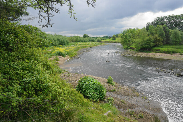
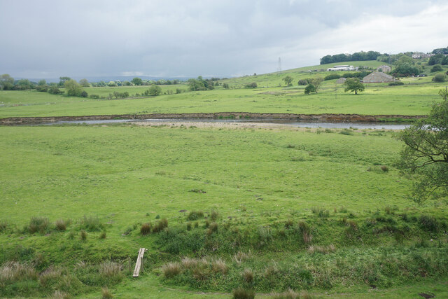
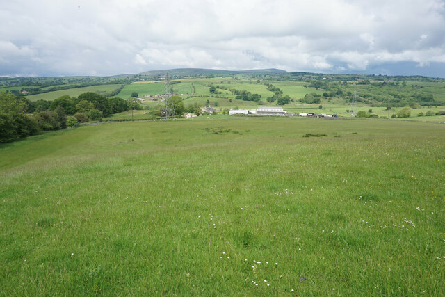
West Close Clough is a picturesque valley located in Lancashire, England. Nestled within the stunning landscape of the Pennines, this valley offers breathtaking views and a tranquil atmosphere. The valley is situated near the town of Bacup, approximately 20 miles north of Manchester.

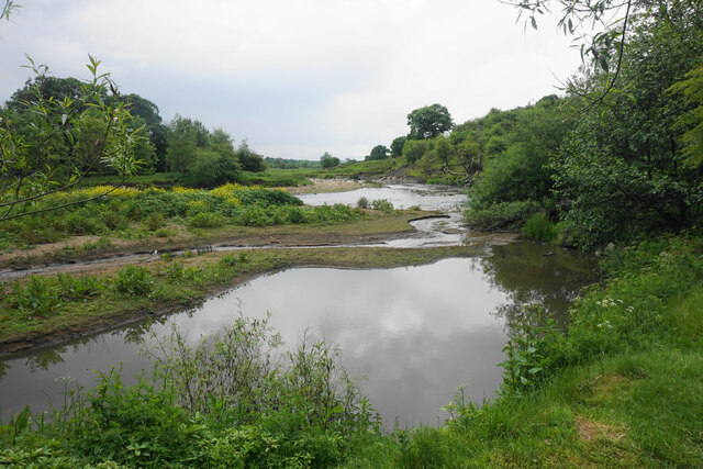
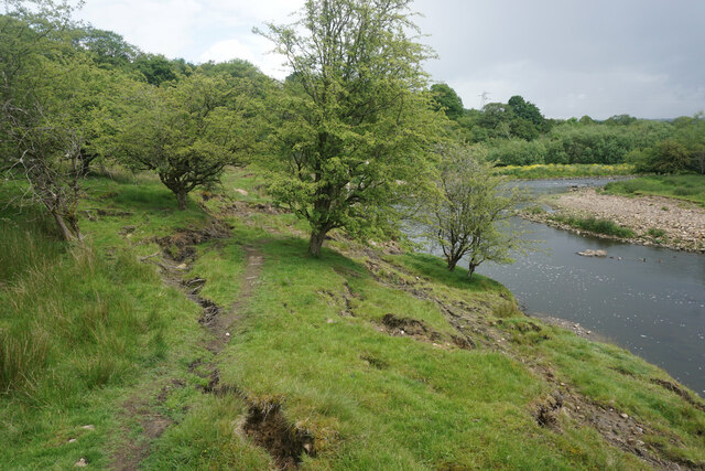
The name "clough" is a local term used to describe a narrow valley with steep sides, and West Close Clough perfectly fits this definition. The valley is flanked by towering hills covered in lush greenery, creating a serene and idyllic setting. A small river meanders through the valley, adding to its charm.

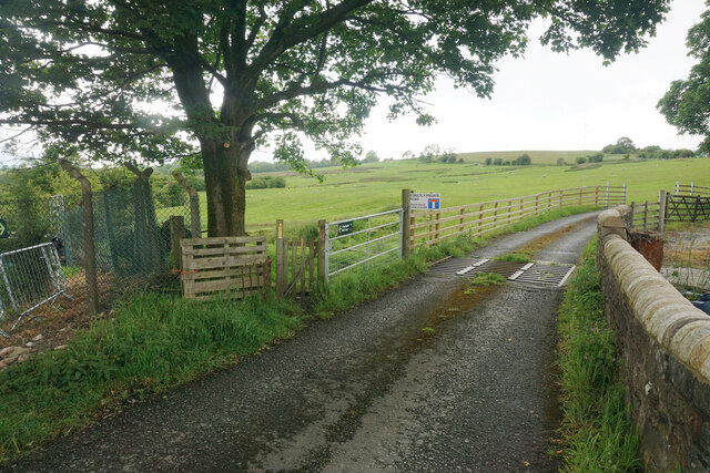
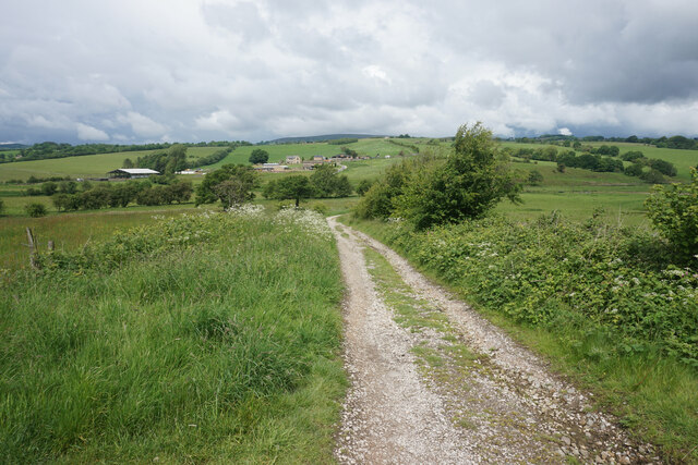
West Close Clough is a haven for nature enthusiasts and hikers alike. The area is home to a variety of plant and animal species, making it an ideal location for wildlife spotting. Walking trails crisscross the valley, allowing visitors to explore its beauty at their own pace. The paths offer opportunities for both leisurely strolls and more challenging hikes, catering to all levels of fitness.

The valley's natural beauty is complemented by its rich history. West Close Clough was once a thriving industrial area, with evidence of mills and quarries scattered throughout the valley. Today, remnants of these industries serve as a reminder of Lancashire's past.

In conclusion, West Close Clough is a captivating valley in Lancashire known for its stunning scenery, diverse wildlife, and historical significance. Whether you seek a peaceful escape or an adventure in nature, this valley offers a truly remarkable experience.

If you have any feedback on the listing, please let us know in the comments section below.

West Close Clough Images

Images are sourced within 2km of 53.819126/-2.2929674 or Grid Reference SD8035. Thanks to Geograph Open Source API. All images are credited.

Gawthorpe Hall, Padiham
Garden, Gawthorpe Hall, Padiham
Gawthorpe Hall, Padiham
Gawthorpe Hall The south facade
Gawthorpe Hall
The south facade
North Terrace At Gawthorpe Hall overlooking the River Calder
North Terrace
At Gawthorpe Hall overlooking the River Calder
Ornate Wall at Gawthorpe Hall
Gawthorpe Hall Gardens' Steps
Extension to Burnley Waste Water Treatment Works This increased traffic associated with this development is not popular with local residents.
Extension to Burnley Waste Water Treatment Works
This increased traffic associated with this development is not popular with local residents.
Footpath leaving Wood End Road The gate by which the footpath leaves the road is clear enough, but it is not clear where you go after that. I was following a rudimentary trail which turned out to be quite boggy in places. The road ahead is signed as private though there should still be a public footpath using it.
Footpath leaving Wood End Road
The gate by which the footpath leaves the road is clear enough, but it is not clear where you go after that. I was following a rudimentary trail which turned out to be quite boggy in places. The road ahead is signed as private though there should still be a public footpath using it.
Spurn Clough joining the River Calder A kingfisher flew across the river here but I was too slow to get a picture.
Spurn Clough joining the River Calder
A kingfisher flew across the river here but I was too slow to get a picture.
River Calder Looking upstream by the confluence with Spurn Clough.
River Calder
Looking upstream by the confluence with Spurn Clough.
Potential subsidence on the riverbank There are several cracks in the ground above the River Calder. Both the Pendle Way and Bronte Way pass this way.
Potential subsidence on the riverbank
There are several cracks in the ground above the River Calder. Both the Pendle Way and Bronte Way pass this way.
Farmland by the River Calder Low-lying grazing land subject to flooding from the river.
Farmland by the River Calder
Low-lying grazing land subject to flooding from the river.
Track near Hunters Oak The track is heading down towards the River Calder which flows from right to left in the valley.
Track near Hunters Oak
The track is heading down towards the River Calder which flows from right to left in the valley.
Field above Hunters Oak There is a view northwards across the valley of the River Calder, with Pendle Hill in the background.
Field above Hunters Oak
There is a view northwards across the valley of the River Calder, with Pendle Hill in the background.
Gawthorpe Hall Gawthorpe Hall is owned by the National Trust and leased to Lancashire County Council.
Gawthorpe Hall
Gawthorpe Hall is owned by the National Trust and leased to Lancashire County Council.
Gawthorpe Hall Gawthorpe Hall is owned by the National Trust and leased to Lancashire County Council.
Gawthorpe Hall
Gawthorpe Hall is owned by the National Trust and leased to Lancashire County Council.
Gawthorpe Hall Gawthorpe Hall is a National Trust property.
Gawthorpe Hall
Gawthorpe Hall is a National Trust property.
Show me another place!

West Close Clough is located at Grid Ref: SD8035 (Lat: 53.819126, Lng: -2.2929674)

Administrative County: Lancashire

District: Pendle

Police Authority: Lancashire

What 3 Words

///wake.parading.clues. Near Padiham, Lancashire

Related Wikis

Higham, Lancashire

Higham is a village in the Borough of Pendle in Lancashire, England, south of Pendle Hill. The civil parish is named Higham with West Close Booth. The...
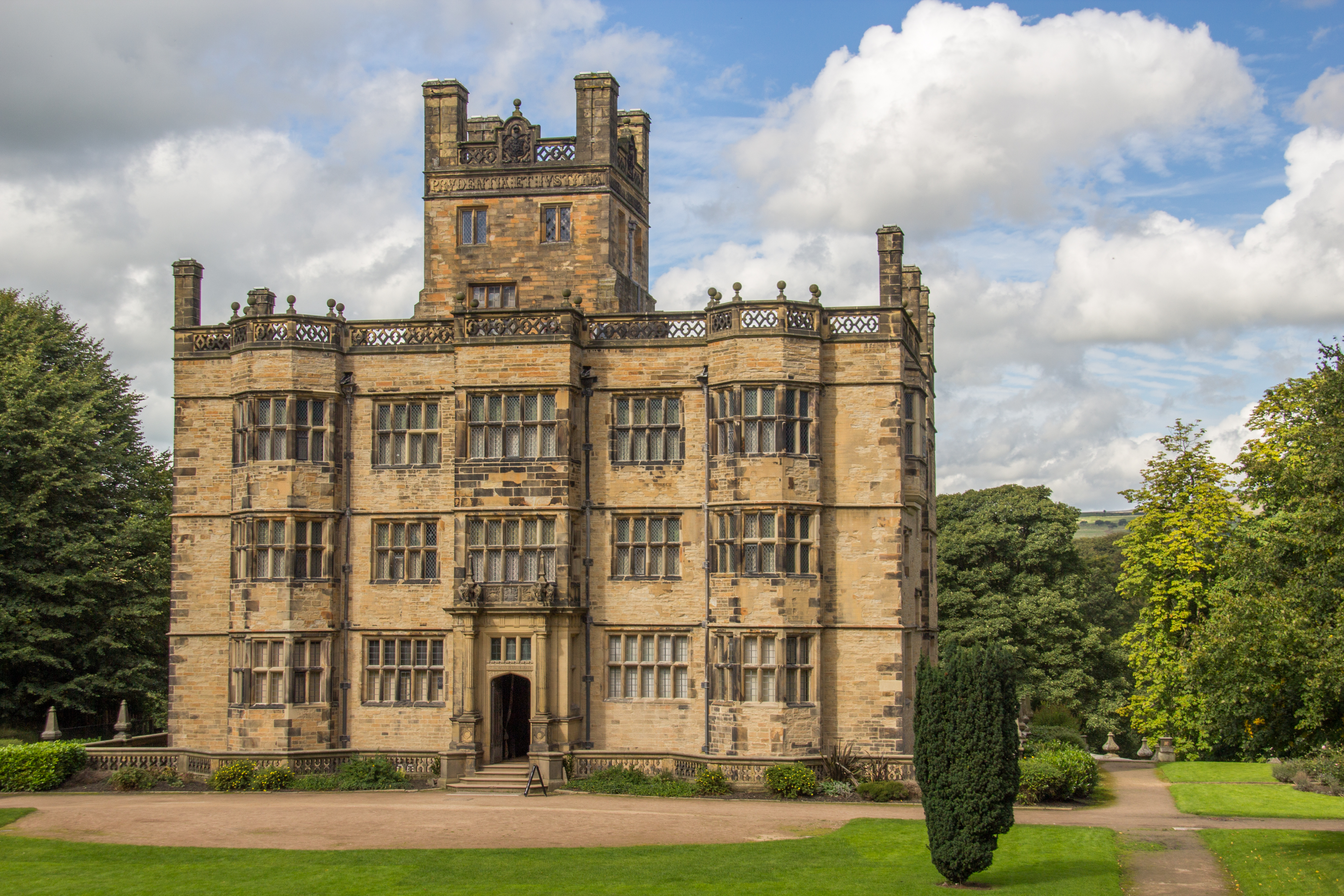
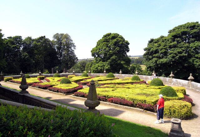
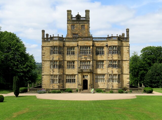
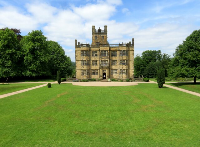
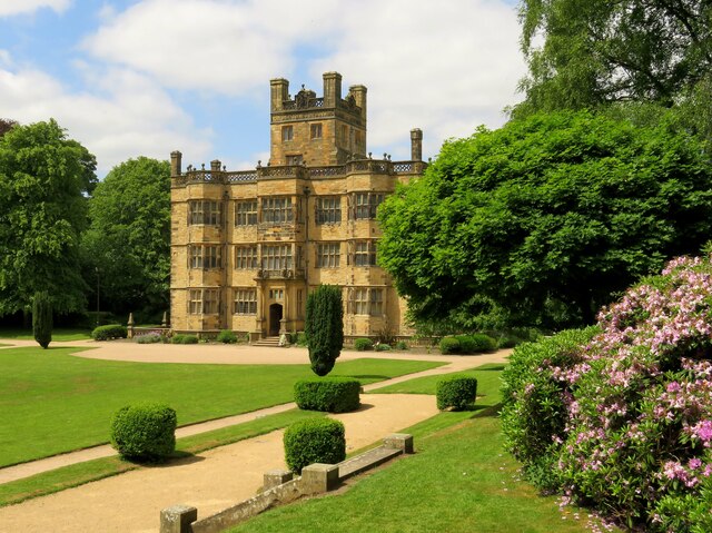
Gawthorpe Hall

Gawthorpe Hall is an Elizabethan country house on the banks of the River Calder, in Ightenhill, a civil parish in the Borough of Burnley, Lancashire, England...

Great Barn, Ightenhill

Great Barn is an historic building in the English civil parish of Ightenhill, Lancashire. Built around 1605 about 100 metres (330 ft) west of Gawthorpe...

Gawthorpe (ward)

Gawthorpe is an electoral ward in the non-metropolitan district of Burnley in Lancashire, England. The population of the Burnley Ward at the 2011 census...

Nearby Amenities

Located within 500m of 53.819126,-2.2929674
Police
Lat/Long: 53.8226453/-2.2975961
Barrier: stile
Stile: stepover
Lat/Long: 53.8202026/-2.2909323
Barrier: stile
Stile: stepover
Lat/Long: 53.8204179/-2.2911402
The data included in this document is from www.openstreetmap.org. The data is made available under ODbL.

Have you been to West Close Clough?

Leave your review of West Close Clough below (or comments, questions and feedback).