Whitaker Clough
Valley in Lancashire Burnley
England
Whitaker Clough

Whitaker Clough is a picturesque valley located in Lancashire, England. Nestled within the larger Rossendale Valley, it is renowned for its stunning natural beauty and tranquil atmosphere. The valley is named after the Whitaker family, who were prominent landowners in the area during the 19th century.
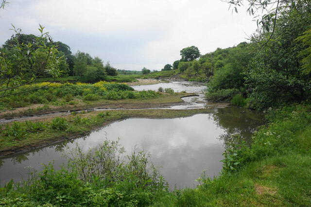
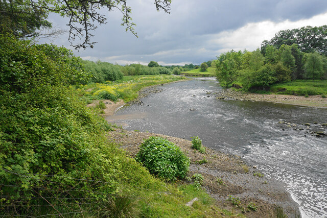
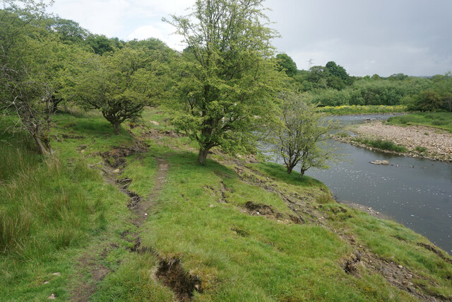
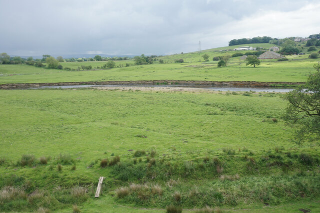
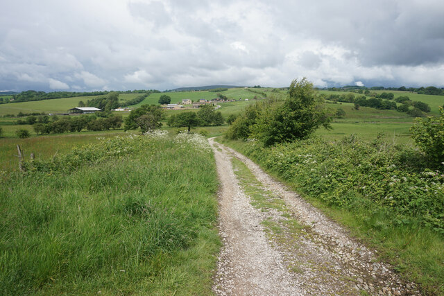
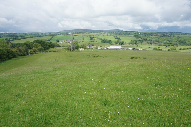
The landscape of Whitaker Clough is characterized by rolling hills, lush green fields, and dense woodlands. The valley is crisscrossed by a meandering river, adding to its charm and providing a habitat for various wildlife species. The area is a haven for nature enthusiasts, offering numerous walking trails and opportunities for birdwatching.
The valley is dotted with quaint stone cottages and traditional farmhouses, giving it a quintessentially English countryside feel. The local community is small but tight-knit, with a strong sense of community spirit. The residents take pride in preserving the natural beauty of the area and have implemented several conservation initiatives to protect the wildlife and flora.
Whitaker Clough is also home to several historic landmarks, including the Whitaker Museum and Art Gallery. Housed in a converted Victorian mansion, the museum showcases the area's rich history, displaying artifacts and artworks that tell the story of Lancashire's industrial heritage.
Overall, Whitaker Clough offers visitors a chance to escape the hustle and bustle of modern life and immerse themselves in the tranquility of nature. Whether it's exploring the scenic trails, admiring the local architecture, or delving into the region's history, the valley provides a delightful experience for all who venture there.
If you have any feedback on the listing, please let us know in the comments section below.
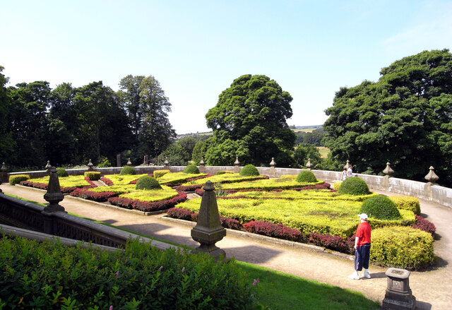
Whitaker Clough Images
Images are sourced within 2km of 53.812127/-2.2993882 or Grid Reference SD8035. Thanks to Geograph Open Source API. All images are credited.


Whitaker Clough is located at Grid Ref: SD8035 (Lat: 53.812127, Lng: -2.2993882)
Administrative County: Lancashire
District: Burnley
Police Authority: Lancashire
What 3 Words
///mailer.belonging.emulating. Near Padiham, Lancashire
Nearby Locations
Related Wikis
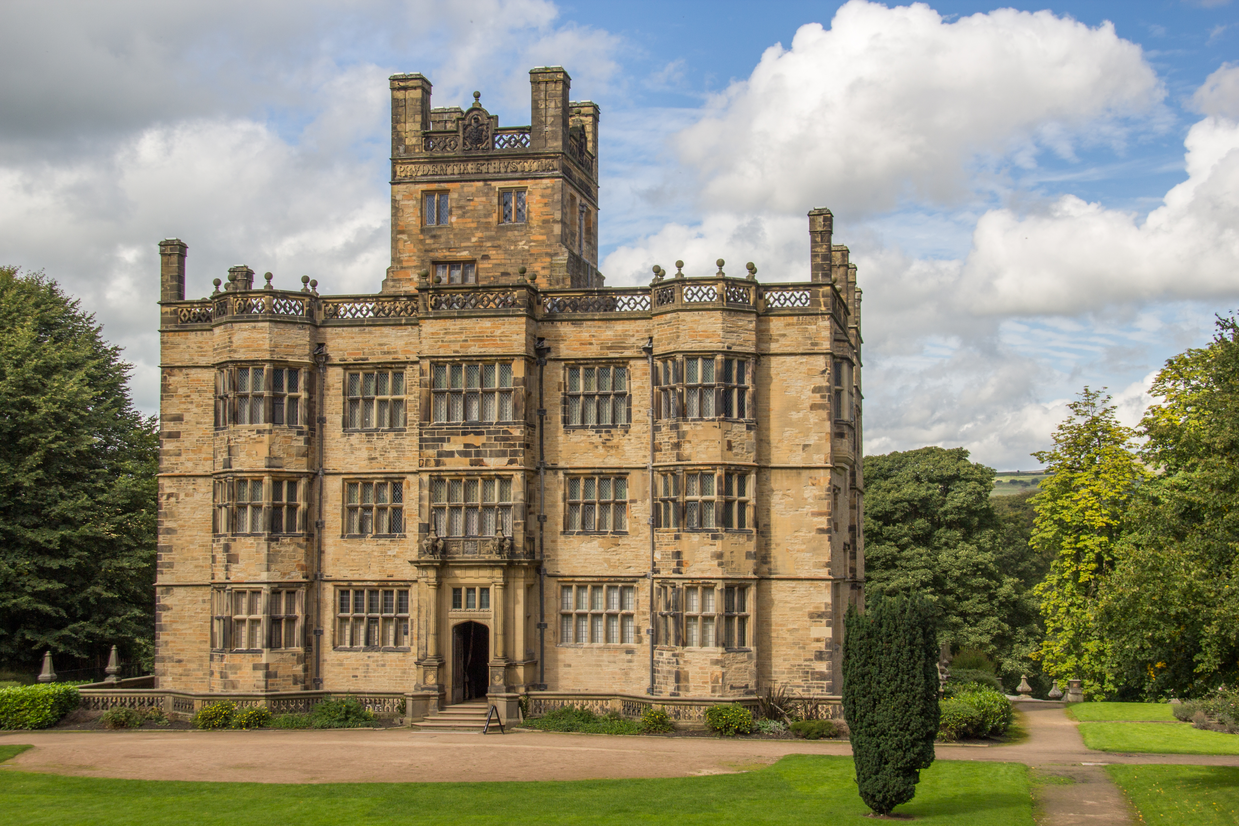
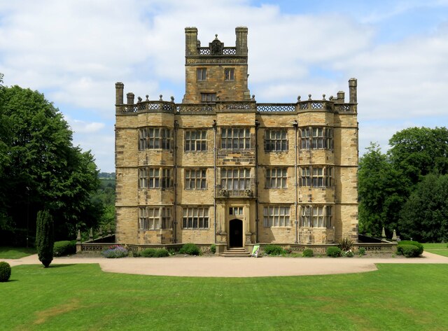
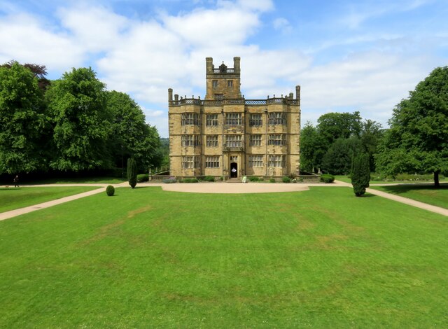
Gawthorpe Hall
Gawthorpe Hall is an Elizabethan country house on the banks of the River Calder, in Ightenhill, a civil parish in the Borough of Burnley, Lancashire, England...

Great Barn, Ightenhill
Great Barn is an historic building in the English civil parish of Ightenhill, Lancashire. Built around 1605 about 100 metres (330 ft) west of Gawthorpe...

Gawthorpe (ward)
Gawthorpe is an electoral ward in the non-metropolitan district of Burnley in Lancashire, England. The population of the Burnley Ward at the 2011 census...

Higham, Lancashire
Higham is a village in the Borough of Pendle in Lancashire, England, south of Pendle Hill. The civil parish is named Higham with West Close Booth. The...
Nearby Amenities
Located within 500m of 53.812127,-2.2993882Have you been to Whitaker Clough?
Leave your review of Whitaker Clough below (or comments, questions and feedback).