Sugar Den

Valley in Aberdeenshire

Scotland

Sugar Den

Barthol Chapel Barthol Chapel from the west, showing the bell tower, western gable, and war memorial plaque under the windows.
Barthol Chapel Credit: Scott Cormie

Sugar Den is a picturesque valley located in the Aberdeenshire region of Scotland. Nestled amidst the rolling hills and lush green landscapes, this enchanting valley offers visitors a serene and tranquil escape from the hustle and bustle of city life.

The valley gets its name from the old sugar industry, which was once a thriving business in the area. Remnants of the sugar mills and factories can still be found, adding a historical touch to the valley's charm.

Sugar Den is a haven for nature lovers, with its diverse flora and fauna. The valley is home to a variety of indigenous plants and trees, creating a vibrant and colorful landscape throughout the year. It is particularly known for its wildflower meadows, which burst into a riot of colors during the summer months.

For outdoor enthusiasts, Sugar Den offers numerous walking and hiking trails that wind through the valley and lead to breathtaking viewpoints. The trails range in difficulty, catering to both casual walkers and seasoned hikers. Along the way, visitors can spot a wide range of wildlife, including red deer, rabbits, and various bird species.

The valley also has a rich cultural heritage, with several ancient ruins and historical sites scattered throughout. These include the remains of old castles, stone circles, and burial mounds, providing an insight into the region's fascinating past.

Overall, Sugar Den is a hidden gem in Aberdeenshire, offering visitors a chance to immerse themselves in the beauty of nature and explore the area's rich history. Whether it's a leisurely stroll or an adventurous hike, this valley has something to offer for everyone.

If you have any feedback on the listing, please let us know in the comments section below.
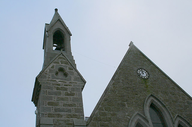
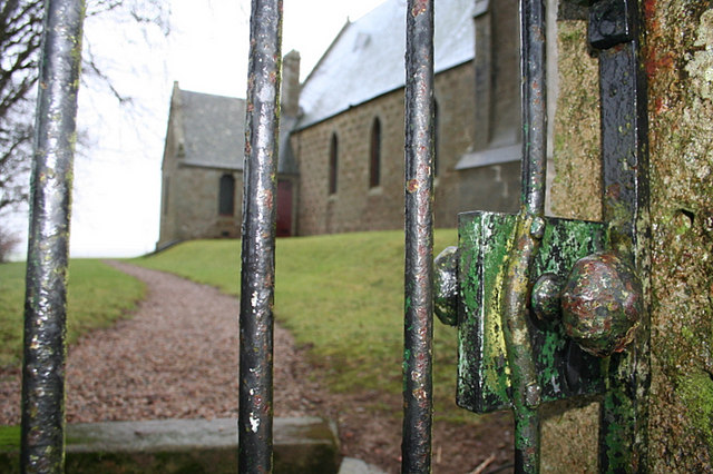
Sugar Den Images

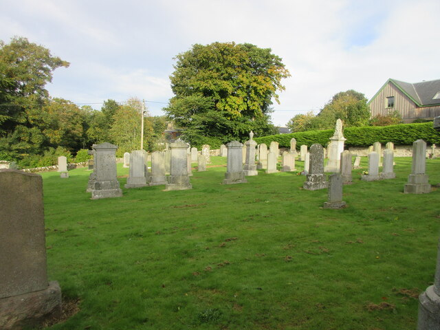
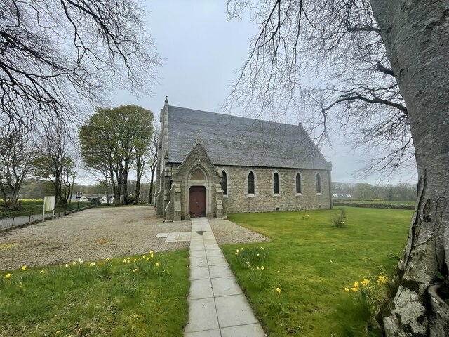
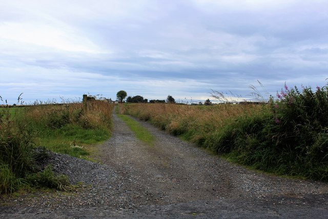
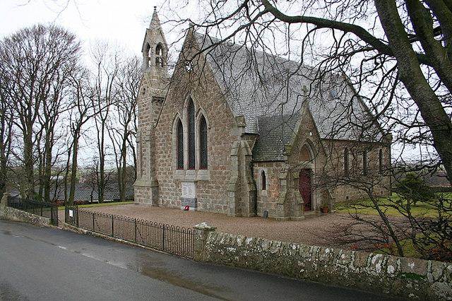
Images are sourced within 2km of 57.38551/-2.32056 or Grid Reference NJ8032. Thanks to Geograph Open Source API. All images are credited.

Barthol Chapel Barthol Chapel from the west, showing the bell tower, western gable, and war memorial plaque under the windows.
Barthol Chapel
Barthol Chapel from the west, showing the bell tower, western gable, and war memorial plaque under the windows.
Barthol Chapel Cemetery Looking westwards from within the cemetery at Barthol Chapel.
Barthol Chapel Cemetery
Looking westwards from within the cemetery at Barthol Chapel.
Field west of Barthol Chapel New growth in a field west of Barthol Chapel, looking south-west towards South Flobbets.
Field west of Barthol Chapel
New growth in a field west of Barthol Chapel, looking south-west towards South Flobbets.
Country roads "S" bends
Barthol Chapel Geocaching is a type of global treasure hunt of people looking for caches, or hidden stashes of objects. Geocaching may also be described as a series of hide-and-seek games, where hiders provide online clues for seekers. Seekers use global positioning system (GPS) devices to find hidden caches
Barthol Chapel
Geocaching is a type of global treasure hunt of people looking for caches, or hidden stashes of objects. Geocaching may also be described as a series of hide-and-seek games, where hiders provide online clues for seekers. Seekers use global positioning system (GPS) devices to find hidden caches
Heavy Horse at Blackbog Horses grazing in a field between Blackbog and Couchercairn.
Heavy Horse at Blackbog
Horses grazing in a field between Blackbog and Couchercairn.
Sheep by Blackbog Sheep grazing in a field by South Blackbog.
Sheep by Blackbog
Sheep grazing in a field by South Blackbog.
Hillhead, near Old Meldrum, from the air Taken from a plane approaching Aberdeen Airport.
Hillhead, near Old Meldrum, from the air
Taken from a plane approaching Aberdeen Airport.
Ardmedden Road The access road downhill to Ardmedden Farm.
Ardmedden Road
The access road downhill to Ardmedden Farm.
Hillhead of Tulloford The long access road to Hillhead of Tulloford Farm.
Hillhead of Tulloford
The long access road to Hillhead of Tulloford Farm.
West Tulloford The smallholding of West Tulloford seen from the roadside.
West Tulloford
The smallholding of West Tulloford seen from the roadside.
Sheep by Tulloford Sheep grazing by Tulloford.
Sheep by Tulloford
Sheep grazing by Tulloford.
Trees by Tulloford A tree-lined road by Tulloford looking west.
Trees by Tulloford
A tree-lined road by Tulloford looking west.
The road to Keillyford.
The Church of Scotland at Barthol Chapel.
Church tower  and clock at Barthol Chapel church.
Church tower and clock at Barthol Chapel church.
Births, Marriages, and Deaths. Imagine the emotions that spurred the hands that turned the knob that opened this gate over the years!!
Births, Marriages, and Deaths.
Imagine the emotions that spurred the hands that turned the knob that opened this gate over the years!!
Turn left for Chapel of Barthol.
Show me another place!

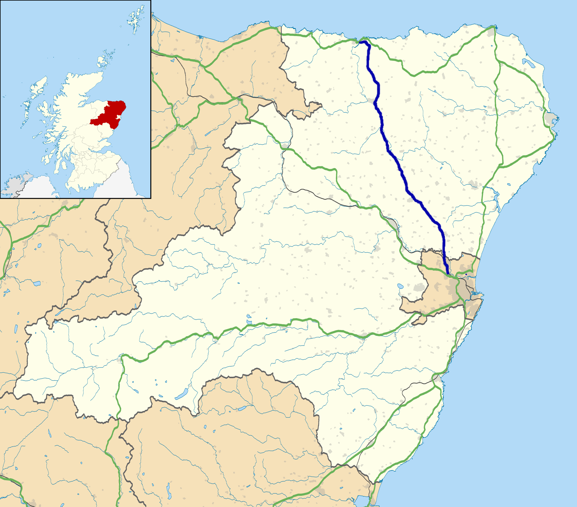
Sugar Den is located at Grid Ref: NJ8032 (Lat: 57.38551, Lng: -2.32056)

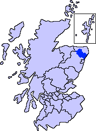
Unitary Authority: Aberdeenshire

Police Authority: North East

What 3 Words

///hills.recruiter.surpassed. Near Oldmeldrum, Aberdeenshire

Nearby Locations

Sugar Den

Related Wikis

Barthol Chapel

Barthol Chapel is a small village in the Formartine area of Aberdeenshire, Scotland, named after the Catholic saint, St Bartholomew. Barthol Chapel has...

Formartine

Formartine (Scottish Gaelic: Fearann MhĂ rtainn meaning "Martin's land") is a committee area in Aberdeenshire, Scotland. This district extends north from...

A947 road

The A947 is a single-carriageway road in Scotland that links Aberdeen to Banff via several towns in Aberdeenshire, including Newmachar, Oldmeldrum, Fyvie...

Meldrum House

Meldrum House is a Category B listed country house and estate in Oldmeldrum, Aberdeenshire, Scotland. It dates to around 1625 (although its datestone is...

Nearby Amenities

Located within 500m of 57.38551,-2.32056
Power: pole
Lat/Long: 57.3837534/-2.3269048
Power: pole
Lat/Long: 57.3831447/-2.3268861
Power: pole
Lat/Long: 57.383651/-2.3257421
Power: pole
Lat/Long: 57.3840466/-2.3248667
Power: pole
Lat/Long: 57.3844305/-2.3236161
Power: pole
Lat/Long: 57.3847808/-2.3224879
Power: pole
Lat/Long: 57.3851178/-2.3212618
Power: pole
Lat/Long: 57.3837477/-2.3237466
Power: pole
Lat/Long: 57.3845287/-2.3248749
The data included in this document is from www.openstreetmap.org. The data is made available under ODbL.

Have you been to Sugar Den?

Leave your review of Sugar Den below (or comments, questions and feedback).