Eckie's Cleugh

Valley in Northumberland

England

Eckie's Cleugh

Road east of Kielder Water
Road east of Kielder Water Credit: Steven Brown

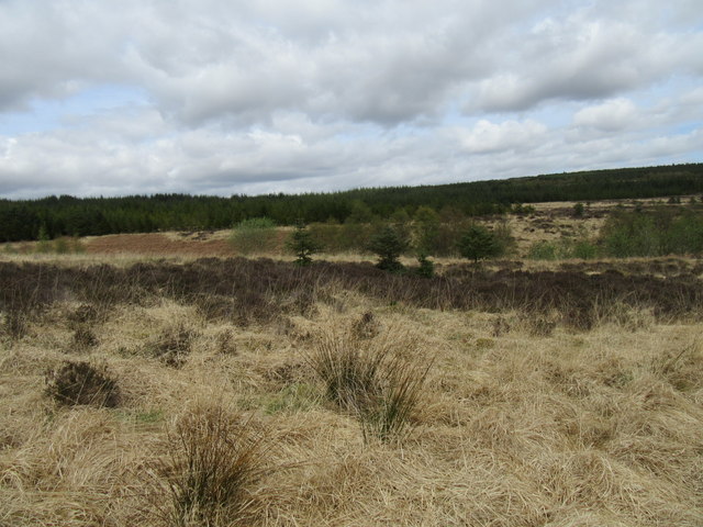
Eckie's Cleugh is a picturesque valley located in Northumberland, a county in the northeast of England. Situated near the small village of Barrasford, the valley is renowned for its natural beauty and tranquil atmosphere. The name "Cleugh" is derived from an old English word meaning "narrow valley," which perfectly describes the topography of this enchanting landscape.

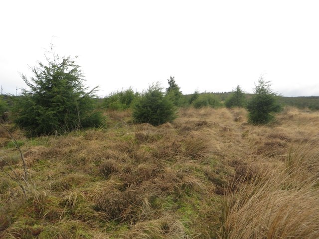
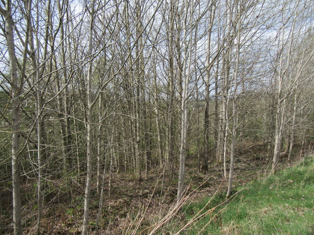
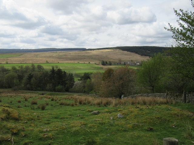
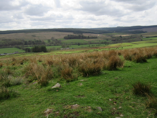
The valley is characterized by rolling hills covered in lush greenery, dotted with ancient woodlands and meandering streams. Eckie's Cleugh is particularly famous for its diverse wildlife, including rare bird species and various mammals. Nature enthusiasts and bird watchers flock to the area to catch a glimpse of the elusive species that call this valley home.

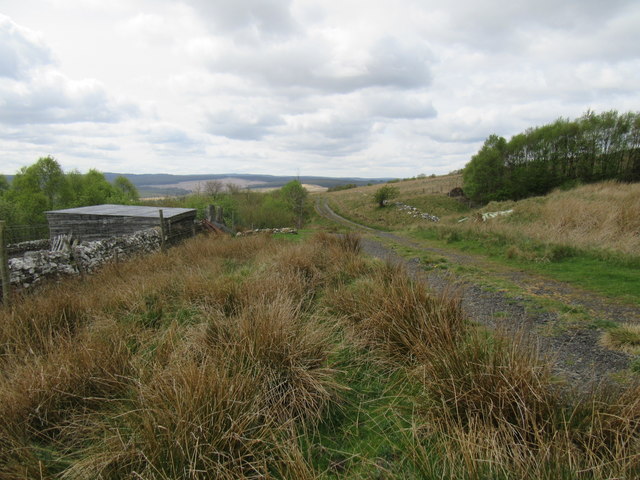
The valley is easily accessible via public footpaths and offers numerous walking routes, making it a popular destination for hikers and nature lovers. The breathtaking views from the hilltops provide visitors with a sense of serenity and tranquility, making it an ideal spot for those seeking a peaceful escape from the hustle and bustle of everyday life.

Eckie's Cleugh is also steeped in history, with several ancient sites and ruins scattered throughout the valley. The remains of old stone houses and medieval structures can be found, serving as a reminder of the area's rich past.

Overall, Eckie's Cleugh is a hidden gem in Northumberland, offering visitors a chance to immerse themselves in the beauty of nature and explore the region's fascinating history.

If you have any feedback on the listing, please let us know in the comments section below.

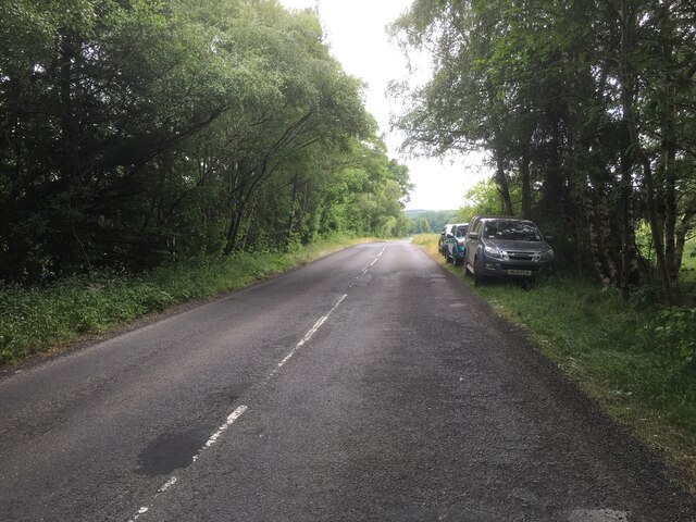
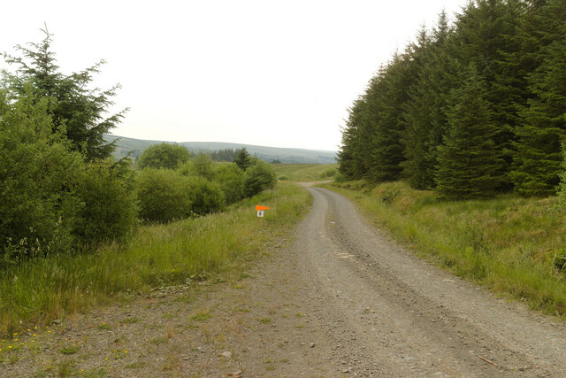
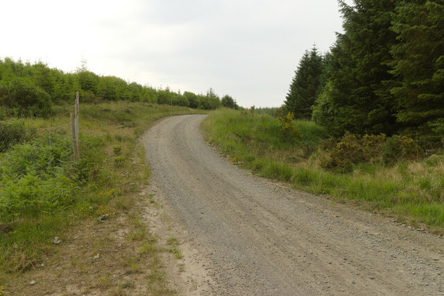
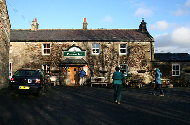
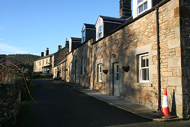
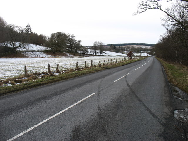
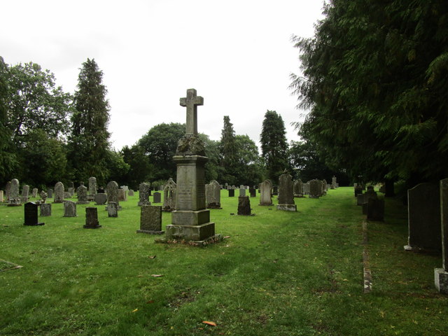
Eckie's Cleugh Images

Images are sourced within 2km of 55.170947/-2.4073776 or Grid Reference NY7486. Thanks to Geograph Open Source API. All images are credited.

Road east of Kielder Water
Forest track approaching Coal Cleugh The orange arrow is for junction 6 of the Yarrowmoor special stage, part of the Kielder Forest Rally 2023.
Forest track approaching Coal Cleugh
The orange arrow is for junction 6 of the Yarrowmoor special stage, part of the Kielder Forest Rally 2023.
Looking across Coal Cleugh
Forest track, Wainbog Hill
Pheasant Inn The entrance to the bar area, where the food is served. Can't really comment on quality as all I had was soup, and not one of my favourite kinds of soup either. The bar is decorated with an intriguing collection of agricultural implements.
Pheasant Inn
The entrance to the bar area, where the food is served. Can't really comment on quality as all I had was soup, and not one of my favourite kinds of soup either. The bar is decorated with an intriguing collection of agricultural implements.
Stannersburn A row of traditional stone houses in the small hamlet of Stannersburn.
Stannersburn
A row of traditional stone houses in the small hamlet of Stannersburn.
Bridleway near Hospital Gate A bridleway through rough ground which has been cleared of trees, though new trees have started growing from seed deposited by the felled mature trees.
Bridleway near Hospital Gate
A bridleway through rough ground which has been cleared of trees, though new trees have started growing from seed deposited by the felled mature trees.
The road to Kielder Clearly another car had left this rather damp lay-by recently.
The road to Kielder
Clearly another car had left this rather damp lay-by recently.
Frosty dawn at Donkleywood Looking South across fields at Donkleywood with a hard October frost.
Frosty dawn at Donkleywood
Looking South across fields at Donkleywood with a hard October frost.
Cemetery at Falstone
Near Falstone Beside the road SE of Falstone.
Near Falstone
Beside the road SE of Falstone.
Near Mount Pleasant Looking SW.
Near Mount Pleasant
Looking SW.
Ferny Rigg Looking SW.
Ferny Rigg
Looking SW.
Thorneyburn Common Looking west.
Thorneyburn Common
Looking west.
Near Deep Sike Looking north towards Falstone Forest.
Near Deep Sike
Looking north towards Falstone Forest.
Rear of Pheasant Inn, Stannersburn
Falstone The church can be seen just left of centre. There isn't a great deal to Falstone.
The River North Tyne is in the first belt of trees, and beyond is the Hawkhope area of the vast Kielder Forest.
Almost identical to this view: <a href="https://www.geograph.org.uk/photo/1363436">NY7286 : View from near Stannersburn</a>.
Falstone
The church can be seen just left of centre. There isn't a great deal to Falstone. The River North Tyne is in the first belt of trees, and beyond is the Hawkhope area of the vast Kielder Forest. Almost identical to this view: NY7286 : View from near Stannersburn.
Farmland near Falstone (2) The distant farm is on the other side of the River North Tyne, which is in the trees.
Almost identical to this view: <a href="https://www.geograph.org.uk/photo/1363430">NY7286 : Mount Pleasant</a>.
Farmland near Falstone (2)
The distant farm is on the other side of the River North Tyne, which is in the trees. Almost identical to this view: NY7286 : Mount Pleasant.
Show me another place!

Eckie's Cleugh is located at Grid Ref: NY7486 (Lat: 55.170947, Lng: -2.4073776)

Unitary Authority: Northumberland

Police Authority: Northumbria

What 3 Words

///prefix.most.prefect. Near Bellingham, Northumberland

Related Wikis

Falstone railway station

Falstone railway station is a former railway station that served the hamlet of Falstone, in Northumberland, England. == History == The station was on the...

Falstone Bridge

Falstone Bridge is a stone bridge across the River North Tyne at Falstone in Northumberland. == History == The bridge, which has three stone arches, was...

Falstone

Falstone is a small village in Northumberland, England, just east of Kielder Water. The village is 8 miles (13 km) from the Anglo–Scottish border. The...

Thorneyburn

Thorneyburn is a village and former civil parish, now in the parish of Tarset, in Northumberland, England, to the northwest of Bellingham. In 1951 the...

Nearby Amenities

Located within 500m of 55.170947,-2.4073776
Curricks
Place: locality
Lat/Long: 55.1753899/-2.4072935
Donkleywood
Place: locality
Lat/Long: 55.170431/-2.4000549
Eckie's Cleugh
Place: locality
Lat/Long: 55.1717184/-2.4065793
Lowry's Mill
Place: locality
Lat/Long: 55.1686259/-2.4030624
Power: pole
Lat/Long: 55.1692618/-2.4142537
Power: pole
Lat/Long: 55.1685801/-2.4009526
Power: pole
Lat/Long: 55.1686046/-2.4025565
Power: pole
Lat/Long: 55.1686107/-2.4042249
Power: pole
Lat/Long: 55.1686153/-2.4053621
Power: pole
Lat/Long: 55.1687179/-2.4069339
Power: pole
Lat/Long: 55.1688466/-2.4085244
Power: pole
Lat/Long: 55.1689447/-2.4099675
Power: pole
Lat/Long: 55.1690488/-2.4113783
Power: pole
Lat/Long: 55.16915/-2.4128374
The data included in this document is from www.openstreetmap.org. The data is made available under ODbL.

Have you been to Eckie's Cleugh?

Leave your review of Eckie's Cleugh below (or comments, questions and feedback).