Lowrysmill Wood

Wood, Forest in Northumberland

England

Lowrysmill Wood

Road east of Kielder Water
Road east of Kielder Water Credit: Steven Brown

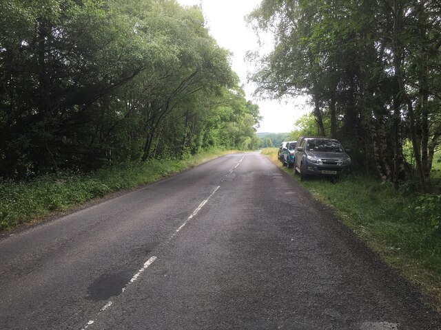
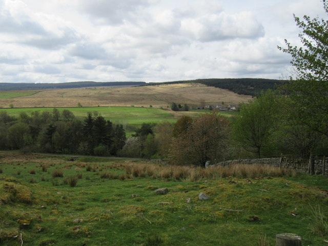
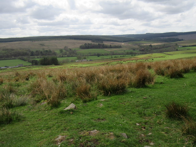
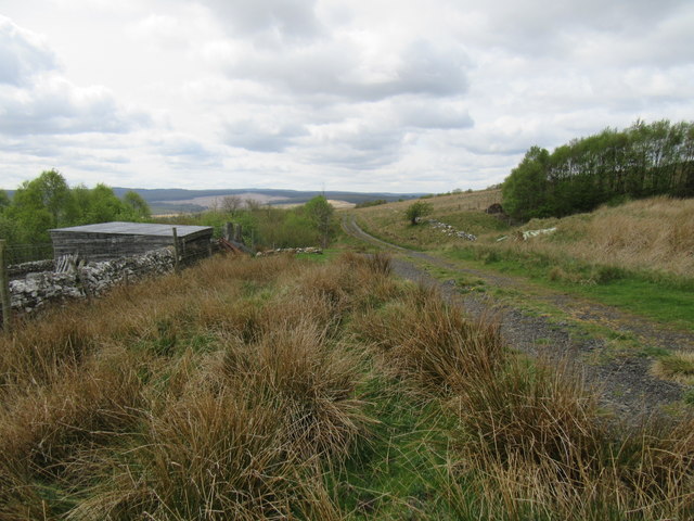
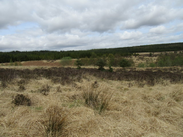
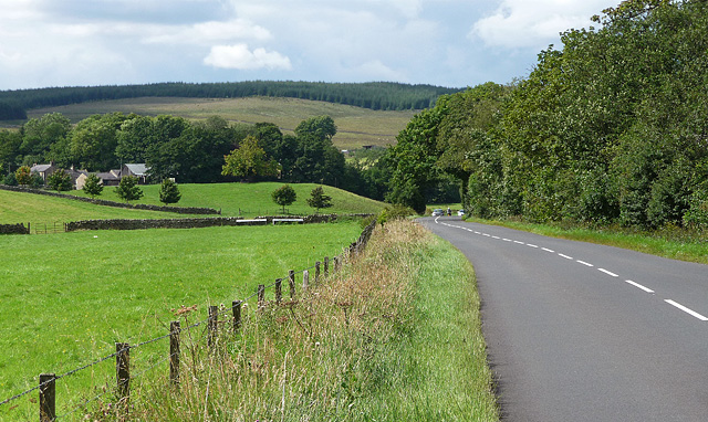
Lowrysmill Wood is a captivating woodland located in Northumberland, England. Situated in the southeastern part of the county, this enchanting forest covers an area of approximately 100 acres, making it a significant natural treasure in the region. The wood is characterized by its diverse range of flora and fauna, providing a haven for various species of plants and animals.

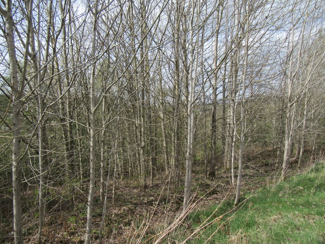
The woodland is known for its dense canopies of towering trees, dominated by beech, oak, and ash species. These majestic trees create a serene and tranquil atmosphere, perfect for those seeking solace and a connection with nature. The forest floor is adorned with a rich tapestry of wildflowers, adding vibrant colors to the landscape during the spring and summer months.

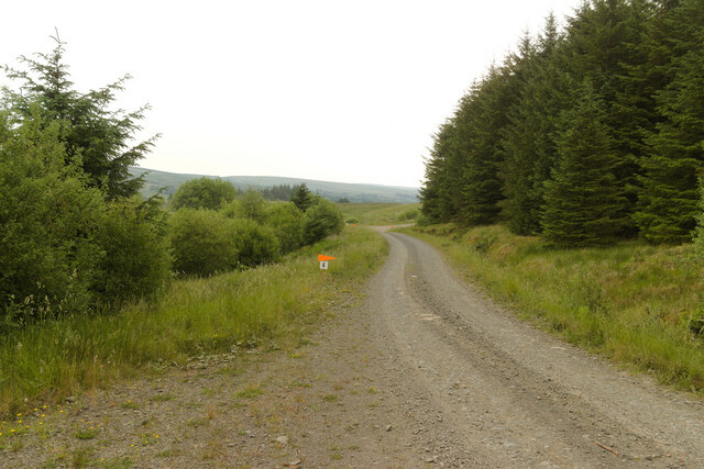
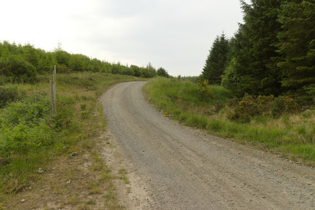
Lowrysmill Wood boasts several walking trails and pathways, allowing visitors to explore its hidden gems. The trails wind through the wood, leading to picturesque spots such as babbling brooks, small waterfalls, and charming clearings. Birdwatchers are in for a treat as the wood is home to a variety of bird species, including woodpeckers, owls, and warblers, making it an ideal location for ornithological enthusiasts.

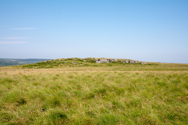
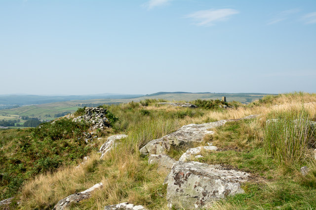
The wood has a rich history, with evidence of human activity dating back centuries. Remnants of old stone walls and ancient ruins can be found within its boundaries, serving as a reminder of the area's past. Additionally, the wood is a designated Site of Special Scientific Interest, highlighting its importance for conservation and preservation.

Overall, Lowrysmill Wood offers a captivating and immersive experience for nature lovers and history enthusiasts alike, providing a peaceful retreat from the hustle and bustle of everyday life.

If you have any feedback on the listing, please let us know in the comments section below.

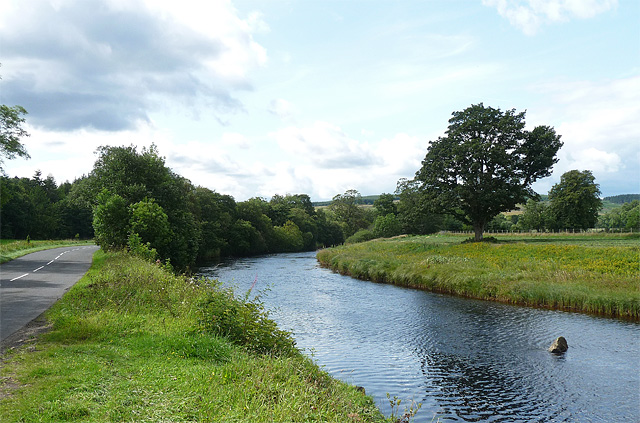
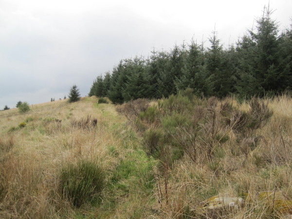
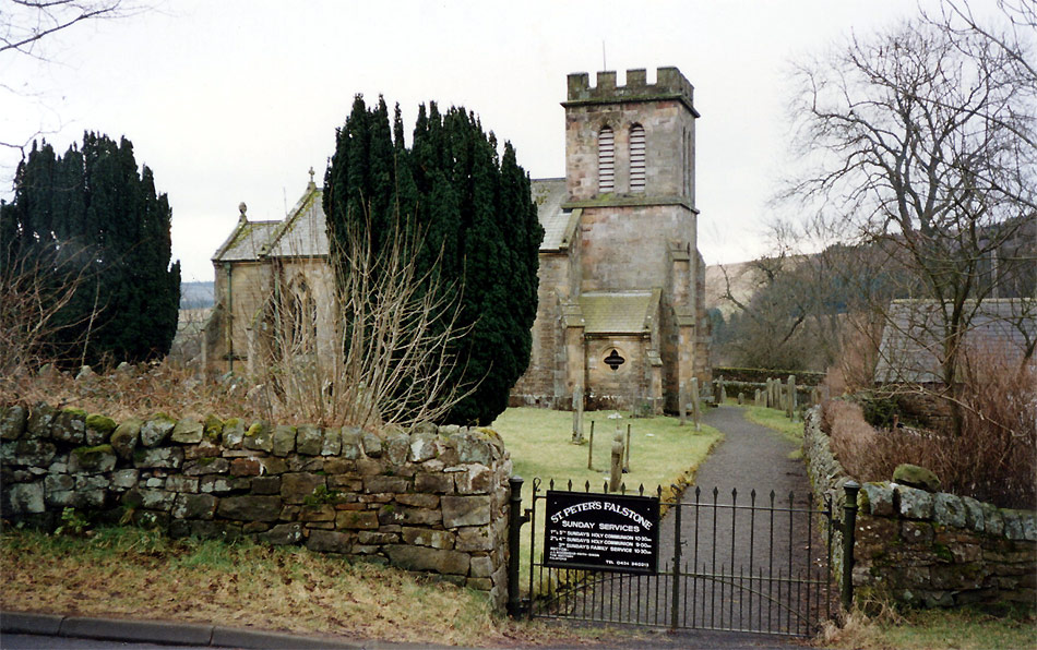
Lowrysmill Wood Images

Images are sourced within 2km of 55.169202/-2.4050835 or Grid Reference NY7486. Thanks to Geograph Open Source API. All images are credited.

Road east of Kielder Water
Forest track approaching Coal Cleugh The orange arrow is for junction 6 of the Yarrowmoor special stage, part of the Kielder Forest Rally 2023.
Forest track approaching Coal Cleugh
The orange arrow is for junction 6 of the Yarrowmoor special stage, part of the Kielder Forest Rally 2023.
Looking across Coal Cleugh
Forest track, Wainbog Hill
Grassy moorland dome The grassy dome lies south-west of another minor rise, that of Stokoe High Crags, which is seen in the distance.
Grassy moorland dome
The grassy dome lies south-west of another minor rise, that of Stokoe High Crags, which is seen in the distance.
Rocks at Stokoe High Crags There's a minor rock exposure to the south side of the rise at Stokoe High Crags; this view is from the rim of that crag looking north to where the trig point can be seen.
Rocks at Stokoe High Crags
There's a minor rock exposure to the south side of the rise at Stokoe High Crags; this view is from the rim of that crag looking north to where the trig point can be seen.
The road to Kielder Clearly another car had left this rather damp lay-by recently.
The road to Kielder
Clearly another car had left this rather damp lay-by recently.
Frosty dawn at Donkleywood Looking South across fields at Donkleywood with a hard October frost.
Frosty dawn at Donkleywood
Looking South across fields at Donkleywood with a hard October frost.
Near Falstone Beside the road SE of Falstone.
Near Falstone
Beside the road SE of Falstone.
Near Mount Pleasant Looking SW.
Near Mount Pleasant
Looking SW.
Ferny Rigg Looking SW.
Ferny Rigg
Looking SW.
Thorneyburn Common Looking west.
Thorneyburn Common
Looking west.
Near Deep Sike Looking north towards Falstone Forest.
Near Deep Sike
Looking north towards Falstone Forest.
Falstone The church can be seen just left of centre. There isn't a great deal to Falstone.
The River North Tyne is in the first belt of trees, and beyond is the Hawkhope area of the vast Kielder Forest.
Almost identical to this view: <a href="https://www.geograph.org.uk/photo/1363436">NY7286 : View from near Stannersburn</a>.
Falstone
The church can be seen just left of centre. There isn't a great deal to Falstone. The River North Tyne is in the first belt of trees, and beyond is the Hawkhope area of the vast Kielder Forest. Almost identical to this view: NY7286 : View from near Stannersburn.
Farmland near Falstone (2) The distant farm is on the other side of the River North Tyne, which is in the trees.
Almost identical to this view: <a href="https://www.geograph.org.uk/photo/1363430">NY7286 : Mount Pleasant</a>.
Farmland near Falstone (2)
The distant farm is on the other side of the River North Tyne, which is in the trees. Almost identical to this view: NY7286 : Mount Pleasant.
Country road near Falstone (2) Looking west towards Kielder, with the River North Tyne just the other side of the trees on the right.
A similar view, 18 years earlier and in the snow: <a href="https://www.geograph.org.uk/photo/270338">NY7385 : Snow scene near Smalesmouth</a>.
Country road near Falstone (2)
Looking west towards Kielder, with the River North Tyne just the other side of the trees on the right. A similar view, 18 years earlier and in the snow: NY7385 : Snow scene near Smalesmouth.
River North Tyne near Falstone (3) Looking west, with the road to Kielder on the left.
A view north from more or less the same point would look like this: <a href="https://www.geograph.org.uk/photo/2200246">NY7385 : Farmland near Falstone (1)</a>.
River North Tyne near Falstone (3)
Looking west, with the road to Kielder on the left. A view north from more or less the same point would look like this: NY7385 : Farmland near Falstone (1).
Bridleway towards Roughside
Show me another place!

Lowrysmill Wood is located at Grid Ref: NY7486 (Lat: 55.169202, Lng: -2.4050835)

Unitary Authority: Northumberland

Police Authority: Northumbria

What 3 Words

///interlude.narrate.clots. Near Bellingham, Northumberland

Related Wikis

Falstone railway station

Falstone railway station is a former railway station that served the hamlet of Falstone, in Northumberland, England. == History == The station was on the...

Falstone Bridge

Falstone Bridge is a stone bridge across the River North Tyne at Falstone in Northumberland. == History == The bridge, which has three stone arches, was...

Falstone

Falstone is a small village in Northumberland, England, just east of Kielder Water. The village is 8 miles (13 km) from the Anglo–Scottish border. The...

Thorneyburn

Thorneyburn is a village and former civil parish, now in the parish of Tarset, in Northumberland, England, to the northwest of Bellingham. In 1951 the...

Thorneyburn railway station

Thorneyburn railway station served the village of Thorneyburn, Northumberland, England from 1861 to 1956 on the Border Counties Railway. == History... ==

Greystead

Greystead is a village and civil parish in Northumberland, England west of Bellingham. The population as of the 2011 census was less than 100. It shares...

Dally Castle

Dally Castle is a ruined 13th-century stone motte-and-bailey fortress in Northumberland, and one of the first hall houses in Northumberland. It lies 5...

Tarset Castle

Tarset Castle is a ruin near Tarset in Northumberland. == History == A licence to crenellate was granted to John Comyn in 1267, and the castle was built...

Nearby Amenities

Located within 500m of 55.169202,-2.4050835
Donkleywood
Place: locality
Lat/Long: 55.170431/-2.4000549
Eckie's Cleugh
Place: locality
Lat/Long: 55.1717184/-2.4065793
Lowry's Mill
Place: locality
Lat/Long: 55.1686259/-2.4030624
Power: pole
Lat/Long: 55.1692388/-2.3993459
Power: pole
Lat/Long: 55.1686214/-2.399413
Power: pole
Lat/Long: 55.1685655/-2.3978197
Power: pole
Lat/Long: 55.1685732/-2.3994076
Power: pole
Lat/Long: 55.1685801/-2.4009526
Power: pole
Lat/Long: 55.1686046/-2.4025565
Power: pole
Lat/Long: 55.1686107/-2.4042249
Power: pole
Lat/Long: 55.1686153/-2.4053621
Power: pole
Lat/Long: 55.1687179/-2.4069339
Power: pole
Lat/Long: 55.1688466/-2.4085244
Power: pole
Lat/Long: 55.1689447/-2.4099675
Power: pole
Lat/Long: 55.1690488/-2.4113783
Power: pole
Lat/Long: 55.16915/-2.4128374
Power: pole
Lat/Long: 55.1700774/-2.3992548
The data included in this document is from www.openstreetmap.org. The data is made available under ODbL.

Have you been to Lowrysmill Wood?

Leave your review of Lowrysmill Wood below (or comments, questions and feedback).