Troy Town Copse
Wood, Forest in Dorset
England
Troy Town Copse
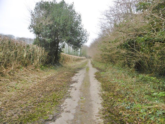
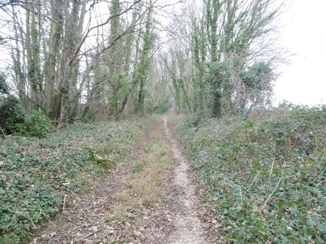
Troy Town Copse is a picturesque woodland located in the county of Dorset, England. Covering an area of approximately 50 acres, this enchanting copse is nestled within the larger expanse of the ancient Cerne Abbas Down, near the village of Cerne Abbas.
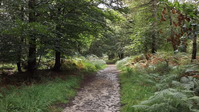
The copse is predominantly made up of native broadleaf trees, including oak, beech, and ash, which create a dense canopy that provides shelter and habitat for a variety of wildlife. The woodland floor is adorned with a rich carpet of bluebells during the springtime, creating a stunning display of color.
A network of well-maintained footpaths weaves its way through Troy Town Copse, allowing visitors to explore the serene beauty of the woodland. Along these paths, one can encounter numerous species of birds, such as woodpeckers and song thrushes, as well as small mammals like squirrels and foxes. The copse is also home to a diverse range of insects, including butterflies and beetles, which thrive within the varying microhabitats found throughout the woodland.
Troy Town Copse holds historical significance, with remnants of ancient settlements and earthworks scattered throughout the area. It is believed that the copse derived its name from a maze-like arrangement of paths, known as a "troy town," which was created by the Iron Age inhabitants of the region.
With its tranquil atmosphere and natural beauty, Troy Town Copse offers a peaceful retreat for nature enthusiasts and walkers seeking solace in the heart of Dorset's countryside.
If you have any feedback on the listing, please let us know in the comments section below.
Troy Town Copse Images
Images are sourced within 2km of 50.742918/-2.3656722 or Grid Reference SY7493. Thanks to Geograph Open Source API. All images are credited.


Troy Town Copse is located at Grid Ref: SY7493 (Lat: 50.742918, Lng: -2.3656722)
Unitary Authority: Dorset
Police Authority: Dorset
What 3 Words
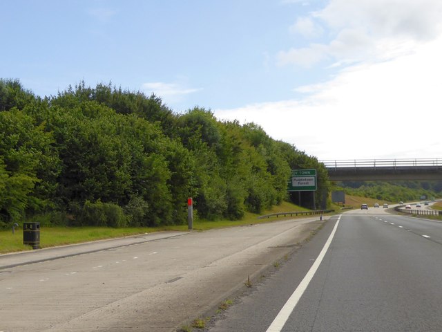
///precautions.sleepless.moons. Near Puddletown, Dorset
Nearby Locations
Related Wikis

Puddletown Hundred
Puddletown Hundred was a hundred in the county of Dorset, England, containing the following parishes: Athelhampton Burleston Milborne St Andrew (part...

Puddletown
Puddletown is a village and civil parish in Dorset, England. It is situated by the River Piddle, from which it derives its name, about 4.5 miles (7 km...

Waterston Manor
Waterston Manor, Puddletown, Dorset is a manor house with 17th century origins, that was extensively rebuilt after a fire in 1863 and remodelled in 1911...

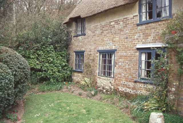
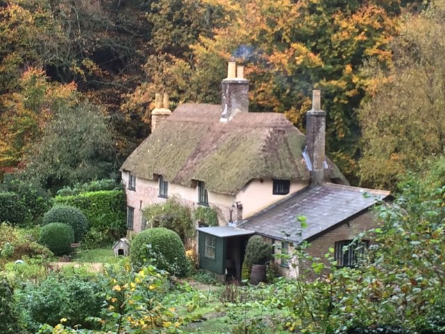
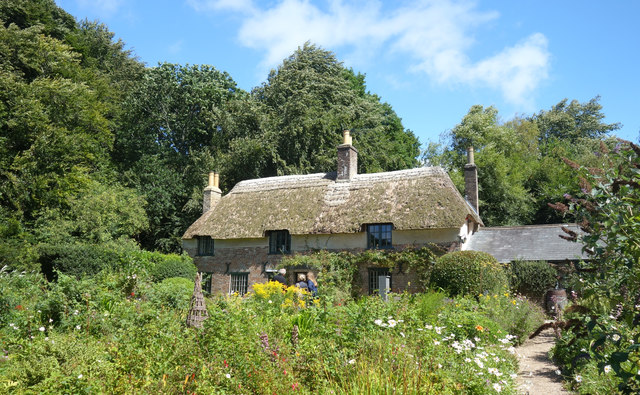
Thomas Hardy's Cottage
Thomas Hardy's Cottage, in Higher Bockhampton, Dorset, is a small cob and thatch building that is the birthplace of the English author Thomas Hardy. He...

Athelhampton
Athelhampton (also known as Admiston or Adminston) is a settlement and civil parish in Dorset, England, situated approximately 5 miles (8 km) east of Dorchester...

Devils Brook (Dorset)
The Devils Brook is a Dorset watercourse of that rises near Higher Ansty (on Pleck Farm, in Pleck or Little Ansty), near to the source of the River Divelish...
Burleston
Burleston is a village in Dorset, England. Burleston is listed in the Domesday Book of 1086, having at that time a small population of nine households...

Tincleton
Tincleton is a village and civil parish in the county of Dorset in southern England. It is situated near the River Frome, approximately 5 miles (8.0 km...
Nearby Amenities
Located within 500m of 50.742918,-2.3656722Have you been to Troy Town Copse?
Leave your review of Troy Town Copse below (or comments, questions and feedback).