Hollow Combe

Valley in Gloucestershire Stroud

England

Hollow Combe

Parade of shops, Kingshill Parade, Kingshill Road, Dursley, Glos A parade of shops located next to the Oak at Kingshill public house/restaurant. The parade includes takeaways.
Parade of shops, Kingshill Parade, Kingshill Road, Dursley, Glos Credit: P L Chadwick

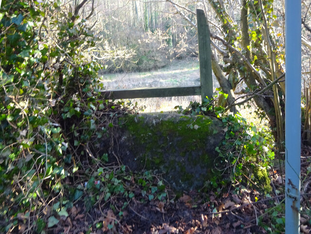
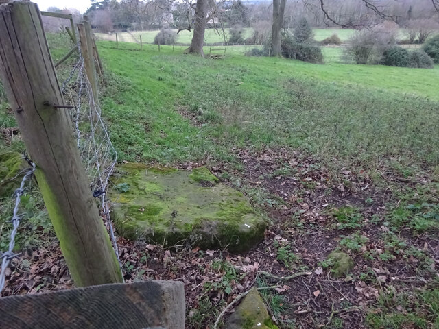
Hollow Combe is a picturesque valley located in the county of Gloucestershire, England. Nestled within the stunning Cotswold Hills, it stretches for approximately two miles, providing visitors with breathtaking views and a tranquil atmosphere.

The valley is characterized by its rolling green meadows, which are dotted with charming cottages and farmhouses. Lush woodlands surround the area, adding to its natural beauty and attracting a variety of wildlife. Walking trails meander through the valley, offering opportunities for leisurely strolls and exploration of the surrounding countryside.

One of the main features of Hollow Combe is its sparkling stream, which flows gently through the valley. The stream has been a vital water source for the local community for centuries and adds to the overall charm of the area.

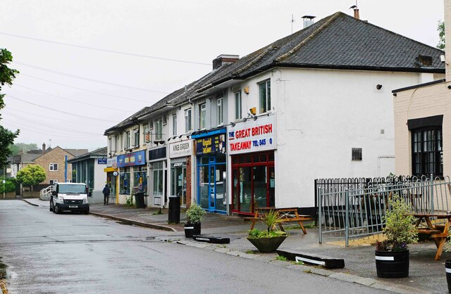
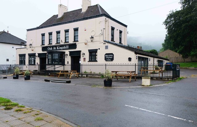
The valley is also home to a small, close-knit community. The residents of Hollow Combe take great pride in their village and work together to maintain its traditional charm. The annual summer fete brings locals and visitors together for a day of festivities, showcasing the community spirit and providing an opportunity to appreciate the local crafts and produce.

Hollow Combe is a haven for nature enthusiasts, offering a wide range of flora and fauna to discover. Rare species of birds, butterflies, and wildflowers can be spotted across the valley, making it a popular destination for wildlife enthusiasts and photographers.

In conclusion, Hollow Combe is a delightful valley in Gloucestershire that boasts stunning natural beauty, a welcoming community, and an abundance of wildlife. It is a place where visitors can immerse themselves in nature, unwind, and appreciate the simple pleasures of rural life.

If you have any feedback on the listing, please let us know in the comments section below.
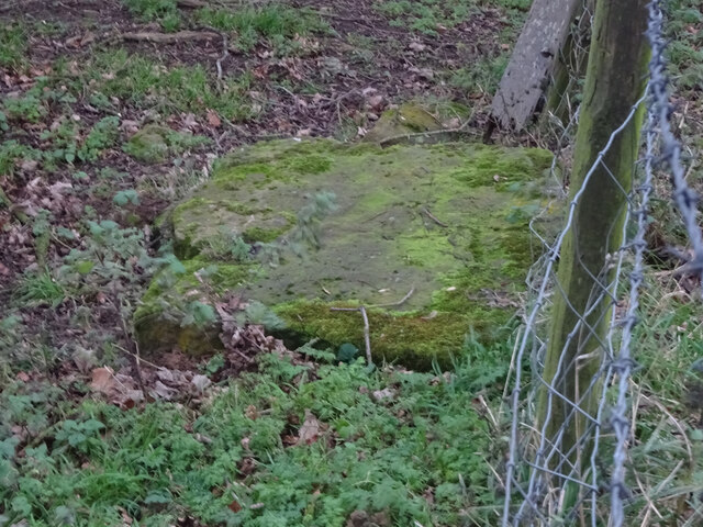
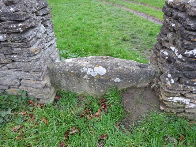
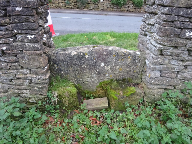
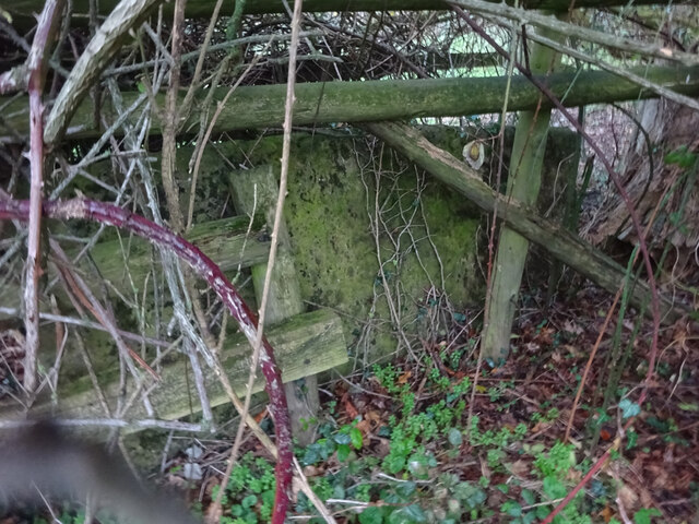
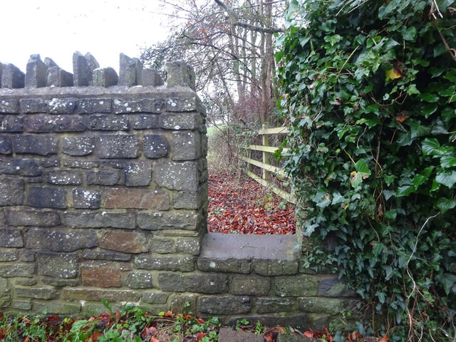
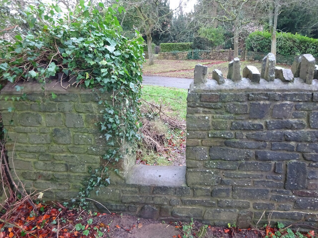
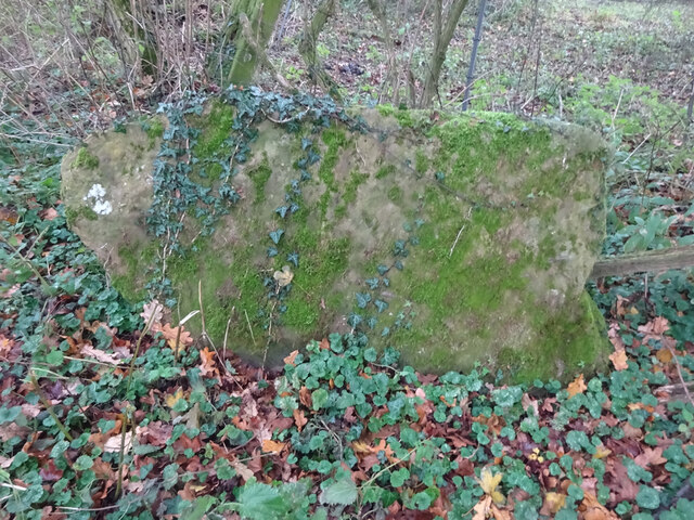
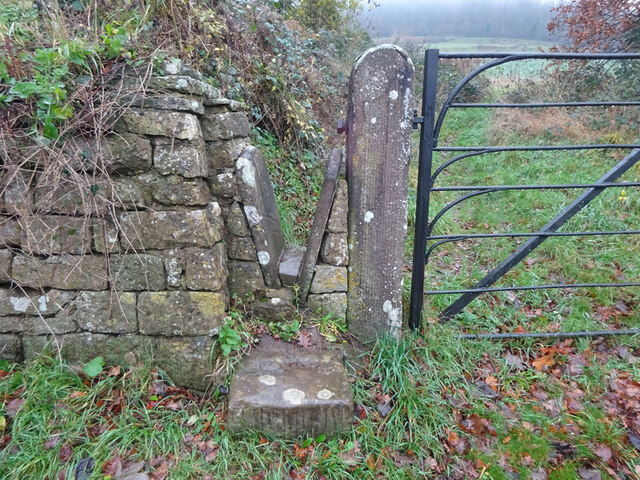
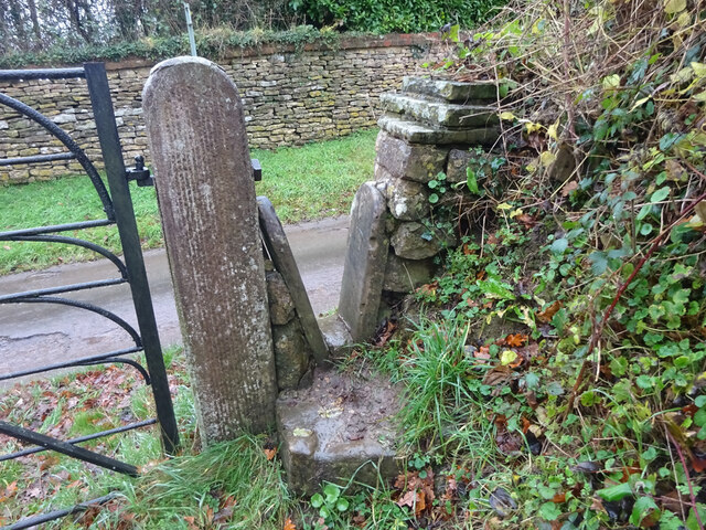
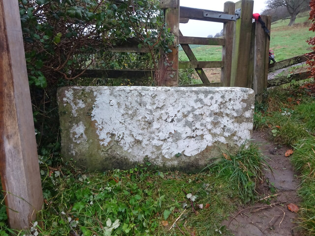
Hollow Combe Images

Images are sourced within 2km of 51.678643/-2.3754497 or Grid Reference ST7497. Thanks to Geograph Open Source API. All images are credited.

Parade of shops, Kingshill Parade, Kingshill Road, Dursley, Glos A parade of shops located next to the Oak at Kingshill public house/restaurant. The parade includes takeaways.
Parade of shops, Kingshill Parade, Kingshill Road, Dursley, Glos
A parade of shops located next to the Oak at Kingshill public house/restaurant. The parade includes takeaways.
Oak at Kingshill (1), 2 Kingshill Road, Dursley, Glos A family run public house and restaurant. In the past it has been known as Ranchers Steakhouse and Kingshill Inn.

<a href="https://www.geograph.org.uk/photo/6925336">ST7598 : Oak at Kingshill (2) - sign, 2 Kingshill Road, Dursley, Glos</a>.
<a href="https://www.geograph.org.uk/photo/6925351">ST7598 : Oak at Kingshill (3) - outbuilding, 2 Kingshill Road, Dursley, Glos</a>.
Oak at Kingshill (1), 2 Kingshill Road, Dursley, Glos
A family run public house and restaurant. In the past it has been known as Ranchers Steakhouse and Kingshill Inn. ST7598 : Oak at Kingshill (2) - sign, 2 Kingshill Road, Dursley, Glos. ST7598 : Oak at Kingshill (3) - outbuilding, 2 Kingshill Road, Dursley, Glos.
Oak at Kingshill (2) - sign, 2 Kingshill Road, Dursley, Glos The sign shows a black and white drawing of the building. It is set on a post near the main road.

<a href="https://www.geograph.org.uk/photo/6925328">ST7598 : Oak at Kingshill (1), 2 Kingshill Road, Dursley, Glos</a>.
<a href="https://www.geograph.org.uk/photo/6925351">ST7598 : Oak at Kingshill (3) - outbuilding, 2 Kingshill Road, Dursley, Glos</a>.
Oak at Kingshill (2) - sign, 2 Kingshill Road, Dursley, Glos
The sign shows a black and white drawing of the building. It is set on a post near the main road. ST7598 : Oak at Kingshill (1), 2 Kingshill Road, Dursley, Glos. ST7598 : Oak at Kingshill (3) - outbuilding, 2 Kingshill Road, Dursley, Glos.
Oak at Kingshill (3) - outbuilding, 2 Kingshill Road, Dursley, Glos This outbuilding is to be found in the car park of the Oak at Kingshill public house and restaurant. At a guess, and that is all it can be, it might just be an icehouse. Before refrigerators were invented, icehouses were built to store ice and insulating materials. Often the main purpose was to store foods or to keep drinks cool. 

<a href="https://www.geograph.org.uk/photo/6925328">ST7598 : Oak at Kingshill (1), 2 Kingshill Road, Dursley, Glos</a>.
<a href="https://www.geograph.org.uk/photo/6925336">ST7598 : Oak at Kingshill (2) - sign, 2 Kingshill Road, Dursley, Glos</a>.
Oak at Kingshill (3) - outbuilding, 2 Kingshill Road, Dursley, Glos
This outbuilding is to be found in the car park of the Oak at Kingshill public house and restaurant. At a guess, and that is all it can be, it might just be an icehouse. Before refrigerators were invented, icehouses were built to store ice and insulating materials. Often the main purpose was to store foods or to keep drinks cool. ST7598 : Oak at Kingshill (1), 2 Kingshill Road, Dursley, Glos. ST7598 : Oak at Kingshill (2) - sign, 2 Kingshill Road, Dursley, Glos.
Dursley Methodist church Dates from 1864 <span class="nowrap"><a title="https://historicengland.org.uk/listing/the-list/list-entry/1219963" rel="nofollow ugc noopener" href="https://historicengland.org.uk/listing/the-list/list-entry/1219963">Link</a><img style="margin-left:2px;" alt="External link" title="External link - shift click to open in new window" src="https://s1.geograph.org.uk/img/external.png" width="10" height="10"/></span>
Dursley Methodist church
Dates from 1864 LinkExternal link
11 Woodmancote, Dursley A distinguished house of the early to mid eighteenth century <span class="nowrap"><a title="https://historicengland.org.uk/listing/the-list/list-entry/1220809" rel="nofollow ugc noopener" href="https://historicengland.org.uk/listing/the-list/list-entry/1220809">Link</a><img style="margin-left:2px;" alt="External link" title="External link - shift click to open in new window" src="https://s1.geograph.org.uk/img/external.png" width="10" height="10"/></span>
11 Woodmancote, Dursley
A distinguished house of the early to mid eighteenth century LinkExternal link
Stone Stile, North Nibley Off a u/c road SW of Park Farm. There is a rivet Benchmark representing 66,5 m ASL, see <span class="nowrap"><a title="http://benchmarks.mister.red/#ST74309677" rel="nofollow ugc noopener" href="http://benchmarks.mister.red/#ST74309677">Link</a><img style="margin-left:2px;" alt="External link" title="External link - shift click to open in new window" src="https://s1.geograph.org.uk/img/external.png" width="10" height="10"/></span>
Stone Stile, North Nibley
Off a u/c road SW of Park Farm. There is a rivet Benchmark representing 66,5 m ASL, see LinkExternal link
Stone Stile, Stinchcombe On Clingre Farm, the stone has fallen and stile de-commissioned. Looking SSW, the view NNW is <a href="https://www.geograph.org.uk/photo/7042568">ST7299 : Stone Stile, Stinchcombe</a>.
Stone Stile, Stinchcombe
On Clingre Farm, the stone has fallen and stile de-commissioned. Looking SSW, the view NNW is ST7299 : Stone Stile, Stinchcombe.
Stone Stile, Stinchcombe On Clingre Farm, the stone has fallen and stile de-commissioned. Looking NNE, the view SSW is <a href="https://www.geograph.org.uk/photo/7042560">ST7299 : Stone Stile, Stinchcombe</a>.
Stone Stile, Stinchcombe
On Clingre Farm, the stone has fallen and stile de-commissioned. Looking NNE, the view SSW is ST7299 : Stone Stile, Stinchcombe.
Stone Stile, Stinchcombe Looking NW from the B4060, "The Street", into the Rugby Field. The view SE is <a href="https://www.geograph.org.uk/photo/7042603">ST7399 : Stone Stile, Stinchcombe</a>. The stile is adjacent to Stinchcombe Village Hall.
Stone Stile, Stinchcombe
Looking NW from the B4060, "The Street", into the Rugby Field. The view SE is ST7399 : Stone Stile, Stinchcombe. The stile is adjacent to Stinchcombe Village Hall.
Stone Stile, Stinchcombe Looking SE to the B4060, "The Street", from the Rugby Field. The view NW is <a href="https://www.geograph.org.uk/photo/7042602">ST7399 : Stone Stile, Stinchcombe</a>. The stile is adjacent to Stinchcombe Village Hall.
Stone Stile, Stinchcombe
Looking SE to the B4060, "The Street", from the Rugby Field. The view NW is ST7399 : Stone Stile, Stinchcombe. The stile is adjacent to Stinchcombe Village Hall.
Stone Stile, Stinchcombe In a field South of the parish church. The stone slab is very much obscured by the brambles and the hedge. This is looking North into the hedge, the view East from the gateway looking into the hedge is <a href="https://www.geograph.org.uk/photo/7150843">ST7298 : Stone Stile, Stinchcombe</a>. On Gloucestershire footpath CST32.
Stone Stile, Stinchcombe
In a field South of the parish church. The stone slab is very much obscured by the brambles and the hedge. This is looking North into the hedge, the view East from the gateway looking into the hedge is ST7298 : Stone Stile, Stinchcombe. On Gloucestershire footpath CST32.
Stone Stile, Stinchcombe Modern interpretation of the stone stile. This is looking NE to the drive. The view looking out is <a href="https://www.geograph.org.uk/photo/7043421">ST7298 : Stone Stile, Stinchcombe</a>.
Stone Stile, Stinchcombe
Modern interpretation of the stone stile. This is looking NE to the drive. The view looking out is ST7298 : Stone Stile, Stinchcombe.
Stone Stile, Stinchcombe Modern interpretation of the stone stile. This is looking out from the drive. The view looking in is <a href="https://www.geograph.org.uk/photo/7043419">ST7298 : Stone Stile, Stinchcombe</a>.
Stone Stile, Stinchcombe
Modern interpretation of the stone stile. This is looking out from the drive. The view looking in is ST7298 : Stone Stile, Stinchcombe.
Stone Stile, Stinchcombe On the Welsh Mountain Pony Stud Farm. This is looking North, the view South is <a href="https://www.geograph.org.uk/photo/7150873">ST7297 : Stone Stile, Stinchcombe</a>. On Gloucestershire footpaths CNN1, CNN2 & CST50. Close to the parish boundary with North Nibley.
Stone Stile, Stinchcombe
On the Welsh Mountain Pony Stud Farm. This is looking North, the view South is ST7297 : Stone Stile, Stinchcombe. On Gloucestershire footpaths CNN1, CNN2 & CST50. Close to the parish boundary with North Nibley.
Stone Stile, Stinchcombe Looking from Park Lane. The view looking out is <a href="https://www.geograph.org.uk/photo/7043435">ST7397 : Stone Stile, Stinchcombe</a>.
Stone Stile, Stinchcombe
Looking from Park Lane. The view looking out is ST7397 : Stone Stile, Stinchcombe.
Stone Stile, Stinchcombe Looking out to Park Lane. The view looking in is <a href="https://www.geograph.org.uk/photo/7043434">ST7397 : Stone Stile, Stinchcombe</a>.
Stone Stile, Stinchcombe
Looking out to Park Lane. The view looking in is ST7397 : Stone Stile, Stinchcombe.
Stone Stile, Stinchcombe On the Cotswold Way, off Park Lane  looking North. The view South is <a href="https://www.geograph.org.uk/photo/7043443">ST7497 : Stone Stile, Stinchcombe</a>.
Stone Stile, Stinchcombe
On the Cotswold Way, off Park Lane looking North. The view South is ST7497 : Stone Stile, Stinchcombe.
Show me another place!

Hollow Combe is located at Grid Ref: ST7497 (Lat: 51.678643, Lng: -2.3754497)

Administrative County: Gloucestershire

District: Stroud

Police Authority: Gloucestershire

What 3 Words

///manages.assets.slopes. Near Dursley, Gloucestershire

Nearby Locations

Park Wood Hollow Combe

Related Wikis

Stinchcombe

Stinchcombe is a small village and civil parish in Gloucestershire, England on the B4060 road between Dursley and North Nibley. The church is called St...

Piers Court

Piers Court is a country house in Stinchcombe on the Cotswold Edge in Gloucestershire, England. A Grade II* listed building, in the mid-20th century the...

Old Spot Inn

The Old Spot Inn is a pub in Dursley, Gloucestershire, England. It was CAMRA's National Pub of the Year for 2007. == References == == External links... ==

Dursley

Dursley is a market town and civil parish in the Stroud District of Gloucestershire, England. It lies between the cities of Bristol and Gloucester. It...

Dursley Town Hall

Dursley Town Hall, also known as Dursley Market Hall, is a municipal building in the Market Place, Dursley, Gloucestershire, England. The structure, which...

Rednock School

Rednock School is a comprehensive school located in Dursley, Gloucestershire, England. It is a specialist Science College which also contains a sixth form...

Lister Hall

For the student hall of residence in Alberta, Canada, also known as Lister Hall, see Lister Centre. Lister Hall is a theatre, in Dursley, Gloucestershire...

Dursley railway station

Dursley railway station served the town of Dursley in Gloucestershire, England, and was the terminus of the short Dursley and Midland Junction Railway...

Nearby Amenities

Located within 500m of 51.678643,-2.3754497
Post Box
Collection Times: Mo-Fr 16:00; Sa 09:00
Collection Times Checked: 2020-05-31
Drive Through: no
Operator: Royal Mail
Post Box Type: lamp
Ref: GL11 18
Royal Cypher: EIIR
Royal Cypher Wikidata: Q33102113
Lat/Long: 51.6761569/-2.379065
Tourism: viewpoint
Lat/Long: 51.6817706/-2.3769491
Bench
Backrest: yes
Inscription: Cecil & Vera Giddings
Material: metal
Lat/Long: 51.6817971/-2.3768134
Bench
Backrest: yes
Material: wood
Lat/Long: 51.6818664/-2.3770971
Information: guidepost
Tourism: information
Lat/Long: 51.6818614/-2.3772259
Bench
Backrest: yes
Inscription: Nicholas Reynolds
Material: wood
Lat/Long: 51.6819918/-2.3775423
Bench
Material: wood
Lat/Long: 51.675815/-2.3737377
Barrier: kissing_gate
Foot: yes
Lat/Long: 51.6758408/-2.3737698
Stancombe
Place: hamlet
Lat/Long: 51.676079/-2.3786406
Golf: tee
Tee: white
Lat/Long: 51.6791749/-2.3711559
Golf: tee
Tee: red
Lat/Long: 51.6792115/-2.3711506
Golf: tee
Tee: white
Lat/Long: 51.6821128/-2.3779258
Golf: tee
Tee: red
Lat/Long: 51.6822034/-2.3784676
The data included in this document is from www.openstreetmap.org. The data is made available under ODbL.

Have you been to Hollow Combe?

Leave your review of Hollow Combe below (or comments, questions and feedback).