Park Wood
Wood, Forest in Gloucestershire Stroud
England
Park Wood
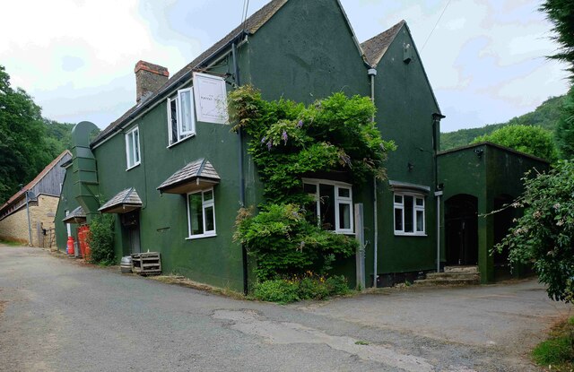
Park Wood is a picturesque woodland located in Gloucestershire, England. This serene forest covers an area of approximately 100 acres and is situated within the larger Forest of Dean. The wood is easily accessible, with several walking trails and paths weaving through its dense trees, making it a popular destination for nature enthusiasts and hikers.
The woodland boasts an impressive variety of tree species, including oak, beech, and birch. These towering trees create a captivating canopy, providing shade and shelter to a diverse range of flora and fauna. Visitors to Park Wood can expect to encounter a rich array of wildlife, such as deer, squirrels, and a variety of bird species.
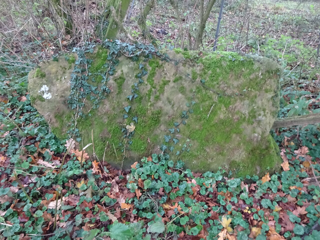
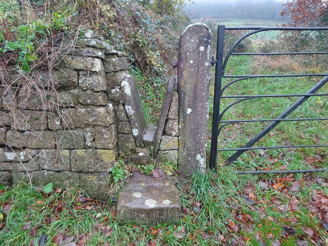
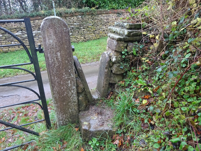
Aside from its natural beauty, Park Wood also holds historical significance. The wood was once part of a medieval hunting ground and evidence of this can still be seen in the form of old hunting lodges and boundary markers scattered throughout the area.
Visitors can enjoy a peaceful retreat in Park Wood, with ample opportunities for picnicking, photography, and birdwatching. The tranquil atmosphere is further enhanced by the absence of any motorized vehicles in the wood, making it an ideal place to escape the hustle and bustle of everyday life.
Park Wood, Gloucestershire, offers a delightful escape into nature, providing both locals and tourists with a serene and enchanting experience amidst its ancient trees and abundant wildlife.
If you have any feedback on the listing, please let us know in the comments section below.
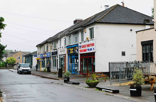
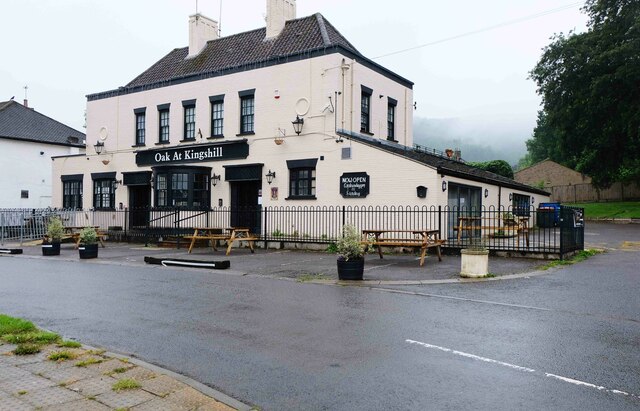
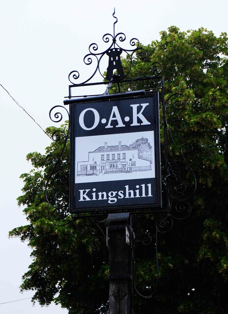
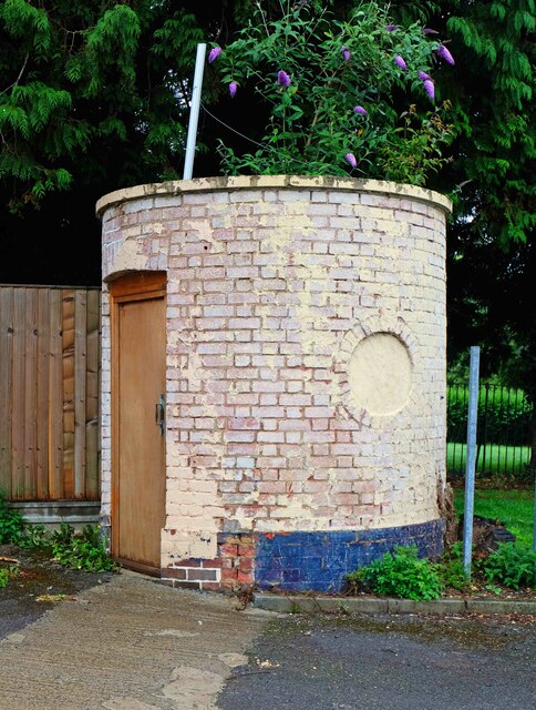
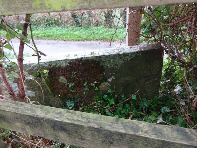
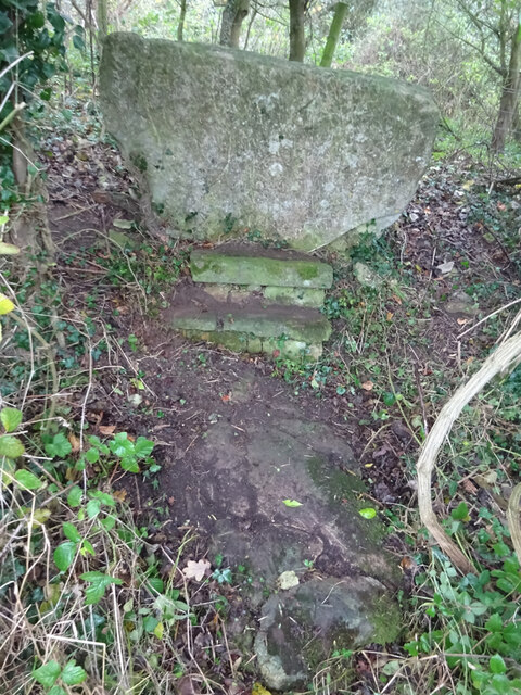
Park Wood Images
Images are sourced within 2km of 51.676122/-2.365291 or Grid Reference ST7497. Thanks to Geograph Open Source API. All images are credited.
Park Wood is located at Grid Ref: ST7497 (Lat: 51.676122, Lng: -2.365291)
Administrative County: Gloucestershire
District: Stroud
Police Authority: Gloucestershire
What 3 Words
///weeknight.tonal.winner. Near Dursley, Gloucestershire
Nearby Locations
Related Wikis

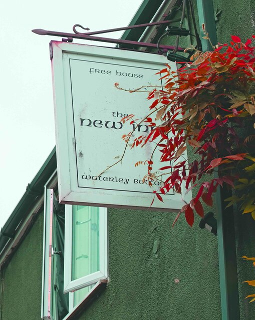
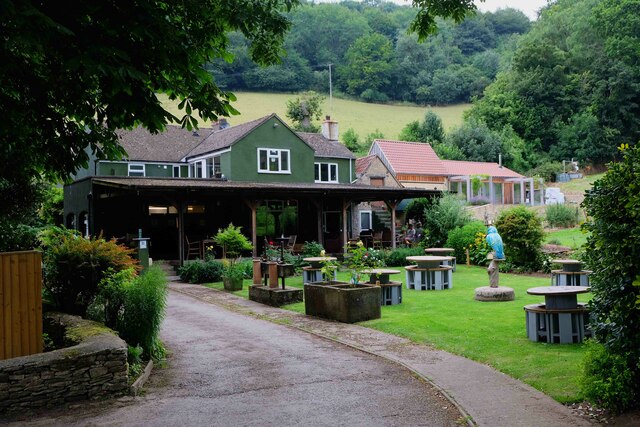
Old Spot Inn
The Old Spot Inn is a pub in Dursley, Gloucestershire, England. It was CAMRA's National Pub of the Year for 2007. == References == == External links... ==

Dursley
Dursley is a market town and civil parish in the Stroud District of Gloucestershire, England. It lies between the cities of Bristol and Gloucester. It...

Dursley Town Hall
Dursley Town Hall, also known as Dursley Market Hall, is a municipal building in the Market Place, Dursley, Gloucestershire, England. The structure, which...

Woodmancote, Dursley
Woodmancote is a small village near Dursley in Gloucestershire, England.

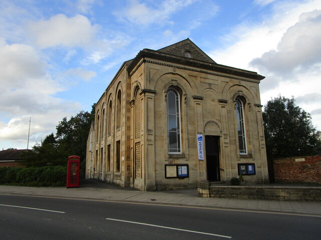
Lister Hall
For the student hall of residence in Alberta, Canada, also known as Lister Hall, see Lister Centre. Lister Hall is a theatre, in Dursley, Gloucestershire...

Stinchcombe
Stinchcombe is a small village and civil parish in Gloucestershire, England on the B4060 road between Dursley and North Nibley. The church is called St...

Dursley railway station
Dursley railway station served the town of Dursley in Gloucestershire, England, and was the terminus of the short Dursley and Midland Junction Railway...

Rednock School
Rednock School is a comprehensive school located in Dursley, Gloucestershire, England. It is a specialist Science College which also contains a sixth form...
Nearby Amenities
Located within 500m of 51.676122,-2.365291Have you been to Park Wood?
Leave your review of Park Wood below (or comments, questions and feedback).