Silver Hills Plantation
Wood, Forest in Yorkshire Craven
England
Silver Hills Plantation
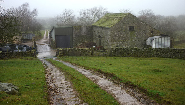
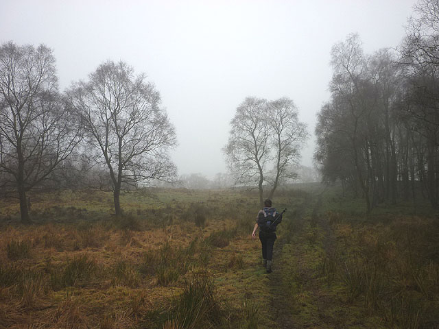
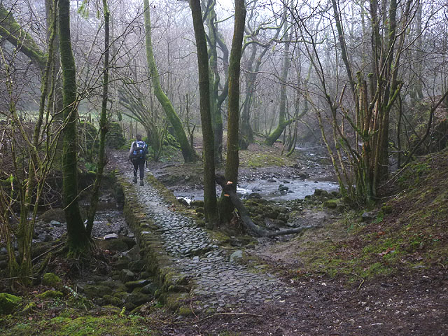
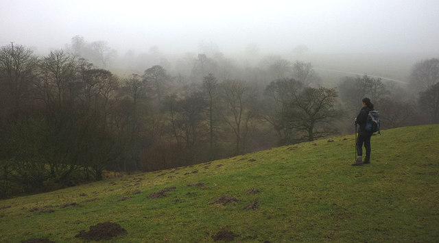
Silver Hills Plantation is a picturesque woodland located in the heart of Yorkshire, England. Spanning over vast acres of lush greenery, this plantation is renowned for its dense forest filled with towering silver birch trees, which give it its distinctive name. The plantation is a haven for nature enthusiasts and visitors seeking tranquility and solace amidst the serene surroundings.
The woodland offers a diverse range of flora and fauna, with an abundance of wildlife thriving within its boundaries. Visitors can expect to encounter various species of birds, including owls, woodpeckers, and songbirds, making it a perfect destination for birdwatching enthusiasts. Additionally, the woodland is home to small mammals such as squirrels, foxes, and rabbits, adding to the charm of the natural habitat.
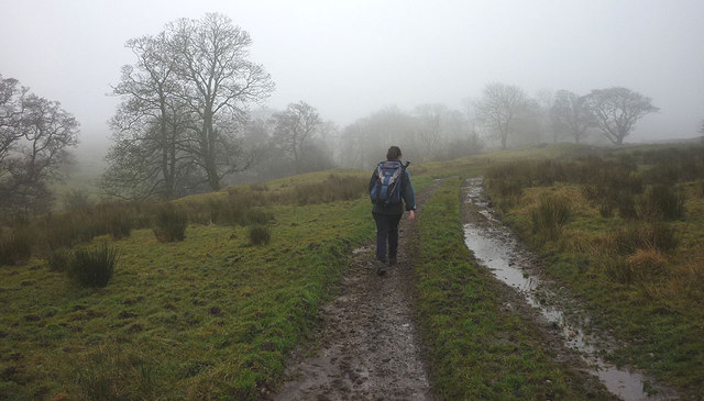
A network of well-maintained walking trails winds through the plantation, allowing visitors to explore the forest at their own pace. These trails offer breathtaking views of the woodland, with sunlight filtering through the silver birch trees, creating mesmerizing patterns on the forest floor. The plantation also features picnic areas, where visitors can enjoy a leisurely lunch amidst the tranquil ambiance.
Silver Hills Plantation is not only a place of natural beauty but also holds historical significance. It is believed that the woodland was once used as a hunting ground by the nobility in the medieval era. Remnants of old hunting lodges and stone structures can still be found within the plantation, providing glimpses into its rich past.
Overall, Silver Hills Plantation in Yorkshire is an enchanting destination that offers a blend of natural beauty, wildlife, and historical charm, making it a must-visit for nature lovers and history enthusiasts alike.
If you have any feedback on the listing, please let us know in the comments section below.
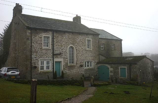
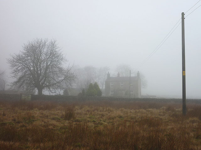
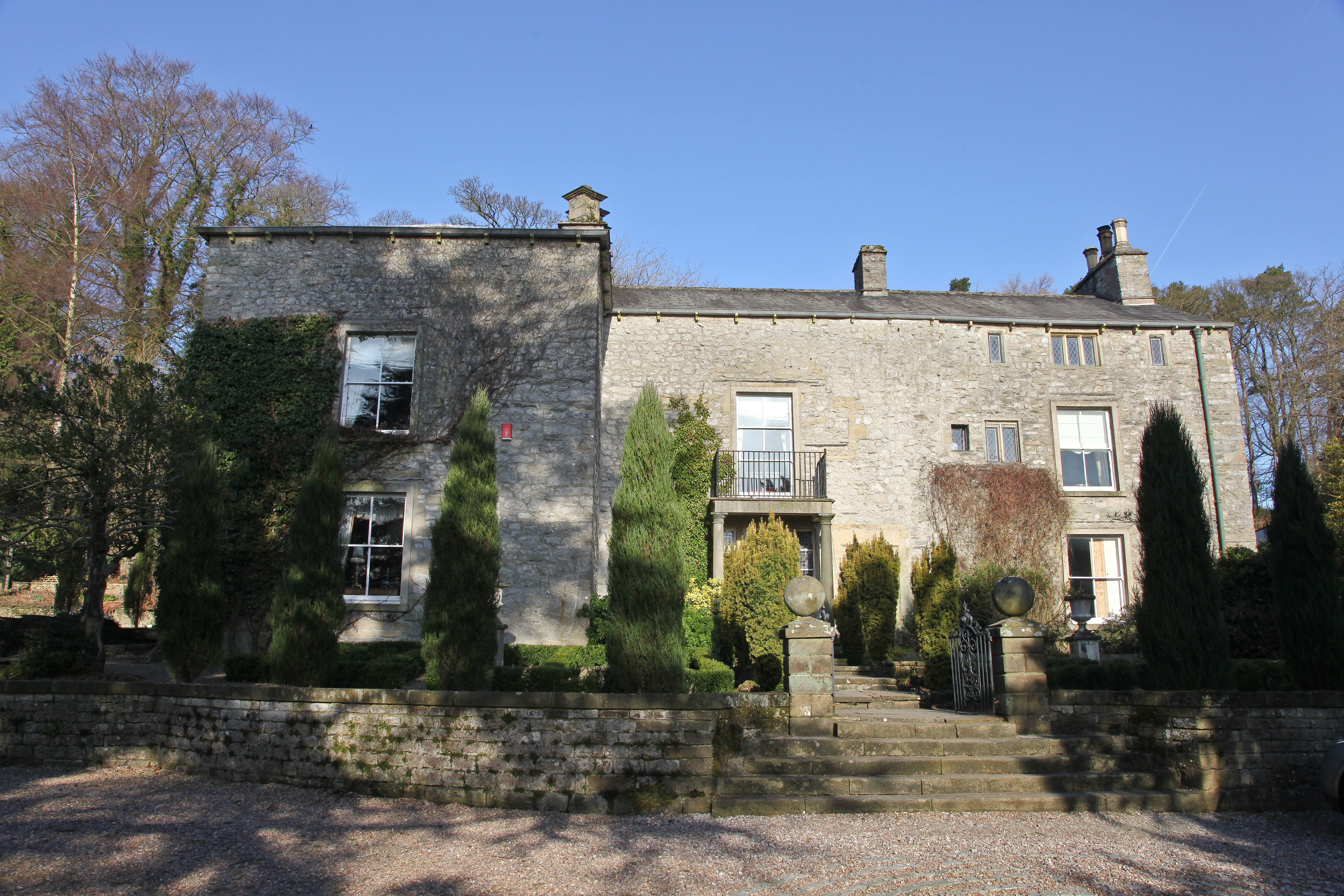
Silver Hills Plantation Images
Images are sourced within 2km of 54.076048/-2.3860459 or Grid Reference SD7464. Thanks to Geograph Open Source API. All images are credited.


Silver Hills Plantation is located at Grid Ref: SD7464 (Lat: 54.076048, Lng: -2.3860459)
Division: West Riding
Administrative County: North Yorkshire
District: Craven
Police Authority: North Yorkshire
What 3 Words
///scariest.freshen.token. Near Settle, North Yorkshire
Nearby Locations
Related Wikis

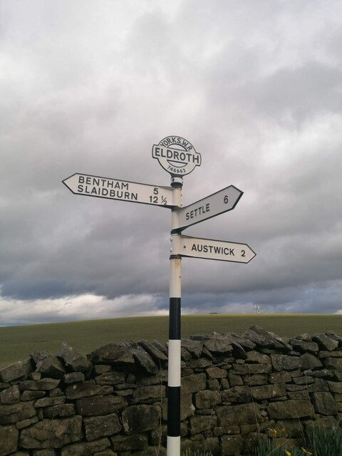
Eldroth
Eldroth is a village in North Yorkshire, England. It is in the civil parish of Lawkland, part of the former Craven District, some 3.25 miles (5.23 km)...

Lawkland
Lawkland is a civil parish in North Yorkshire, England, near the A65 and 4 miles (6.4 km) west of Settle. It lies within the Forest of Bowland Area of...

Keasden
Keasden is a hamlet in the civil parish of Clapham-cum-Newby, in the Craven district of the county of North Yorkshire, in the north-western England. It...

Clapham railway station
Clapham is a railway station on the Bentham Line, which runs between Leeds and Morecambe via Skipton. The station, situated 48 miles (77 km) north-west...

Austwick
Austwick is a village and civil parish in the Craven district of North Yorkshire, England, about 5 miles (8 km) north-west of Settle. The village is on...
Austwick Hall
Austwick Hall is an historic manor house situated above the village of Austwick in North Yorkshire, England. The house is a Grade II listed building and...

Clapham, North Yorkshire
Clapham is a village in the civil parish of Clapham cum Newby in the Craven district of North Yorkshire, England. It was previously in the West Riding...

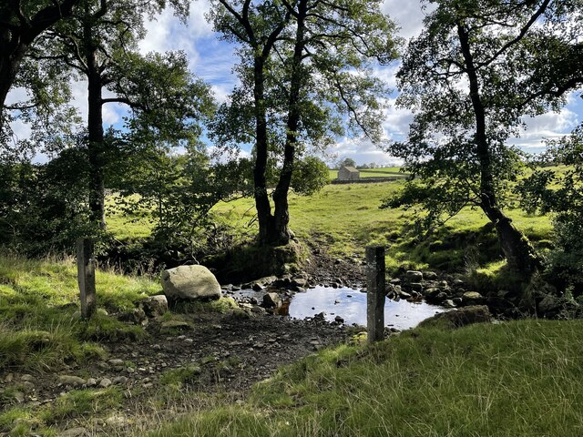
Keasden Beck
Keasden Beck is a stream in Yorkshire (formerly the West Riding) rising near Keasden Head, joining the River Wenning south west of Clapham. == References... ==
Nearby Amenities
Located within 500m of 54.076048,-2.3860459Have you been to Silver Hills Plantation?
Leave your review of Silver Hills Plantation below (or comments, questions and feedback).