Cross Cleugh

Valley in Northumberland

England

Cross Cleugh

Trig point on Pike Rigg Pike Rigg is a minor elongated rise on Whitfield Moor. Stones have been gathered close to the pillar and some have been formed into a 'currick' which is just out of view to the right. The small building in the distance is used as a store for a farmer or shepherd.
Trig point on Pike Rigg Credit: Trevor Littlewood

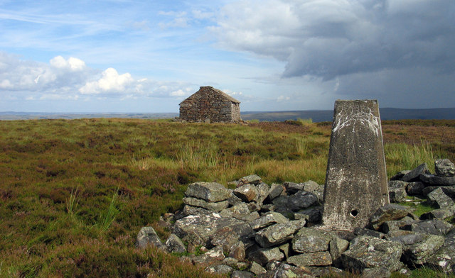
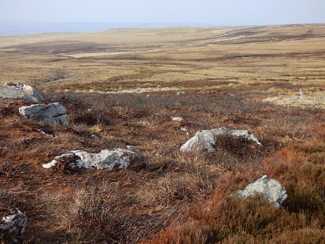
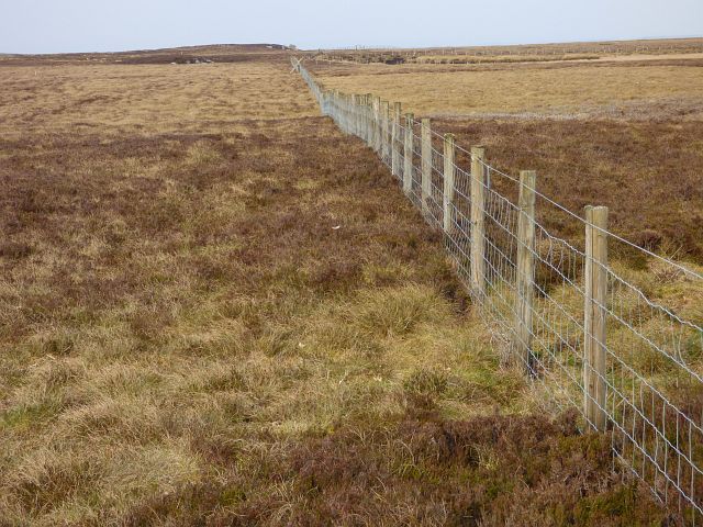
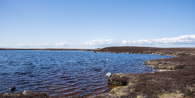
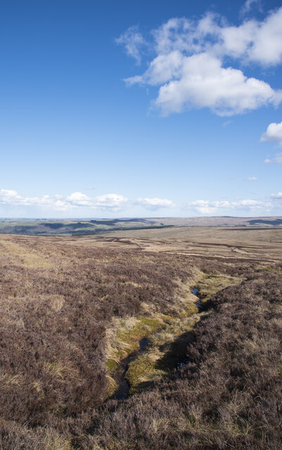
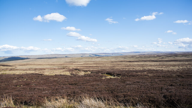
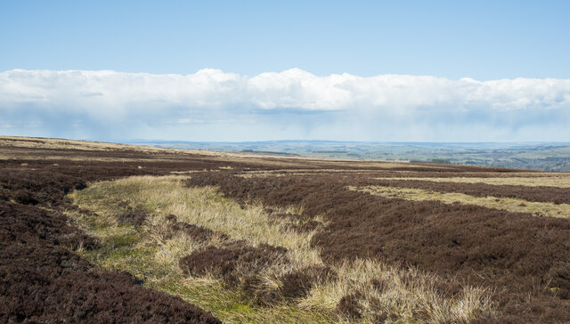
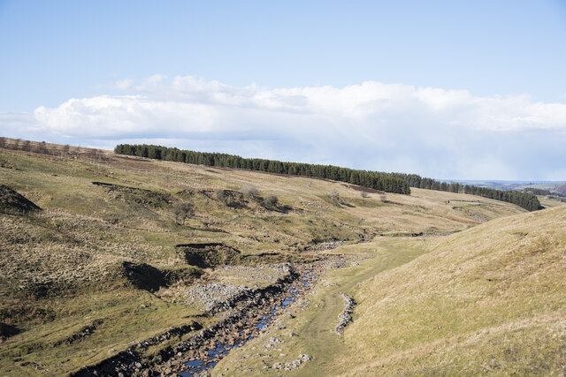
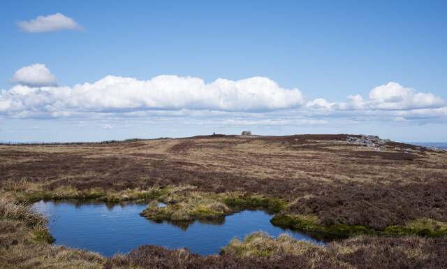
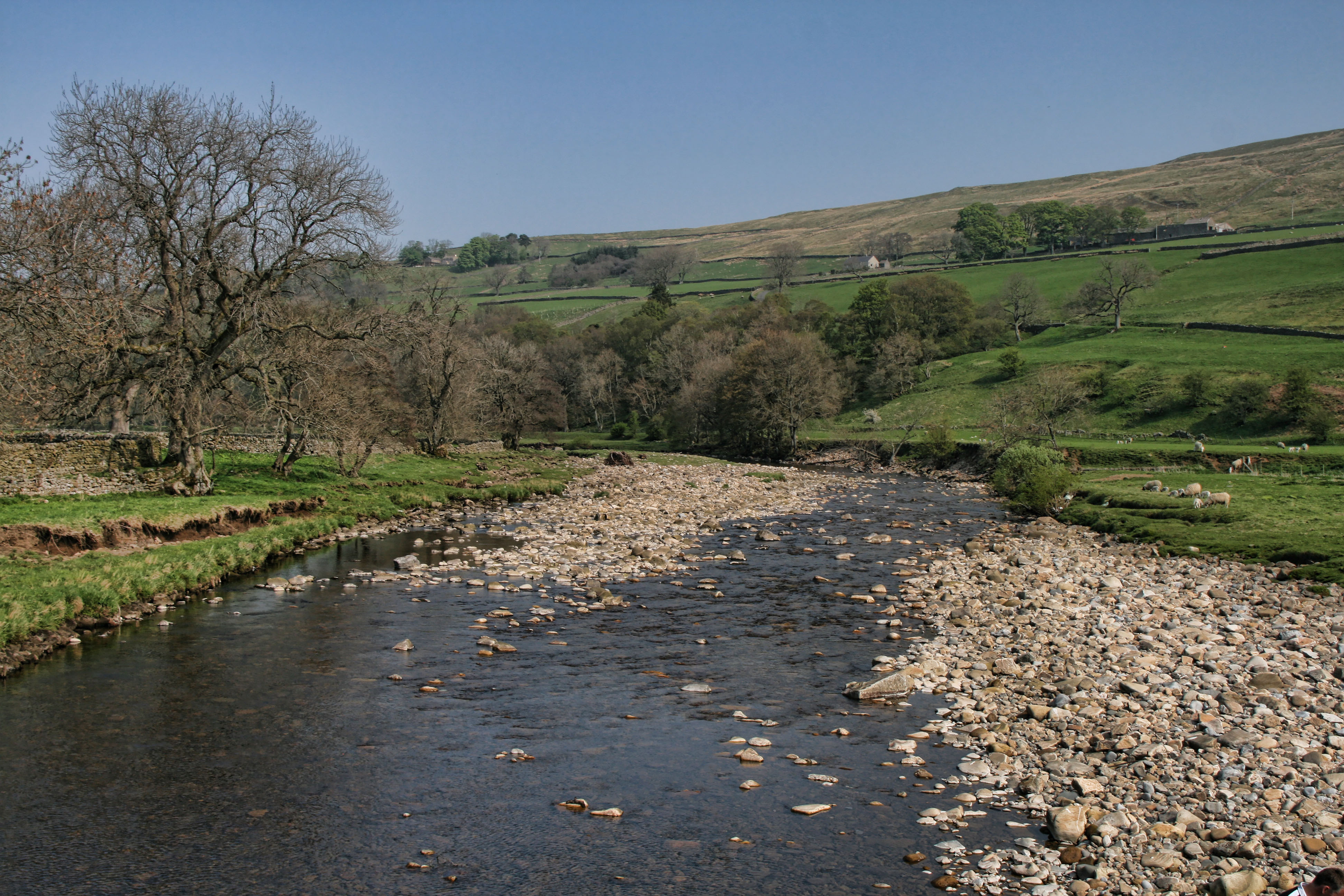
Cross Cleugh is a picturesque valley located in the county of Northumberland, England. Nestled in the heart of the North Pennines Area of Outstanding Natural Beauty, this charming valley offers visitors stunning views of rolling hills, lush green meadows, and ancient woodlands.

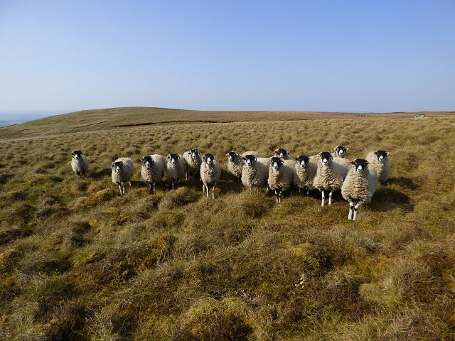
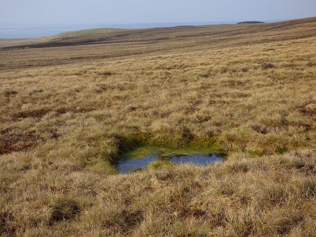
The valley is known for its abundant wildlife and diverse flora. It is home to a wide range of bird species, including curlews, lapwings, and red grouse, making it a popular destination for birdwatchers. The surrounding woodlands are carpeted with bluebells in the spring, creating a colorful and enchanting sight.

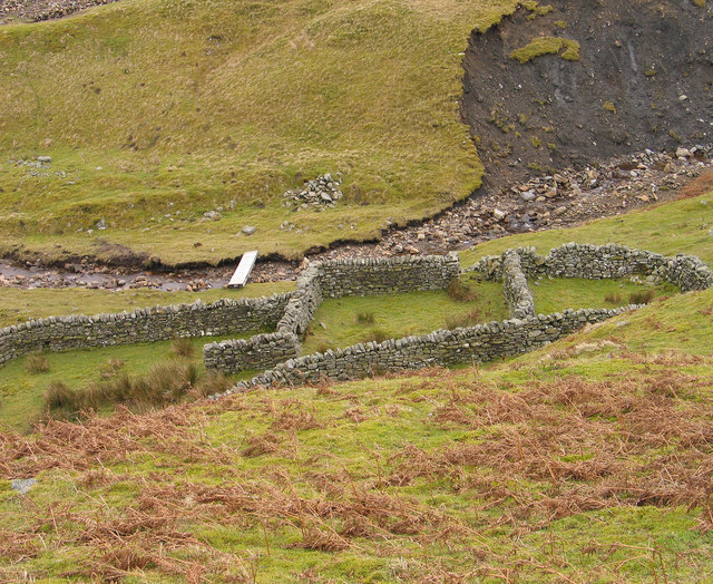
Cross Cleugh also boasts a rich history, with evidence of human settlement dating back thousands of years. The valley is dotted with the remains of ancient settlements, including Bronze Age burial mounds and Iron Age hillforts. These archaeological sites provide a fascinating glimpse into the lives of past inhabitants.

Outdoor enthusiasts can enjoy various activities in Cross Cleugh. The valley offers numerous walking trails, ranging from gentle strolls to more challenging hikes, allowing visitors to explore the stunning countryside at their own pace. The nearby River Cross provides opportunities for fishing, while the surrounding hills are perfect for mountain biking and horse riding.

For those seeking tranquility and natural beauty, Cross Cleugh in Northumberland is a must-visit destination. With its breathtaking scenery, abundant wildlife, and rich history, this idyllic valley offers a peaceful retreat for nature lovers and history enthusiasts alike.

If you have any feedback on the listing, please let us know in the comments section below.
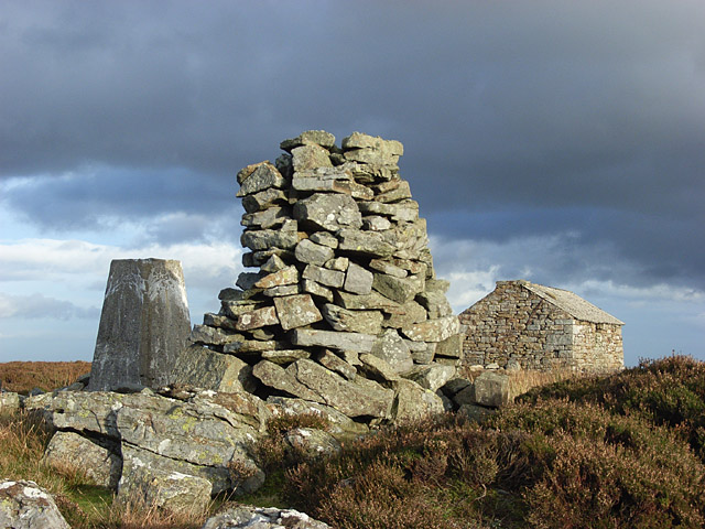
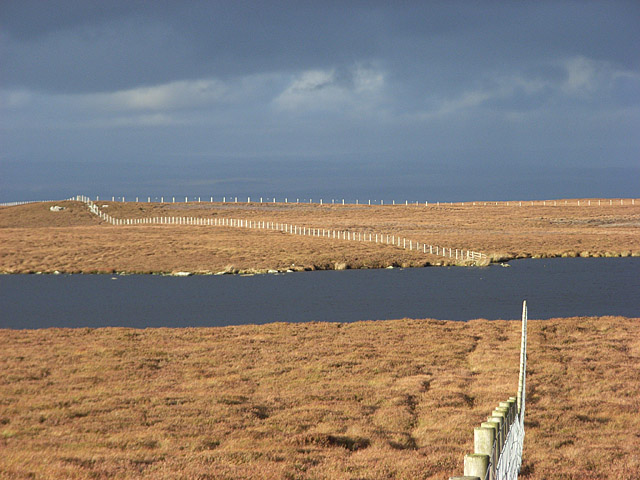
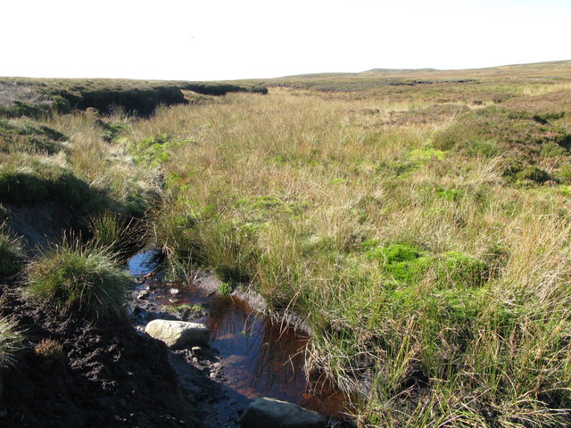
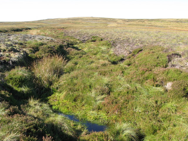
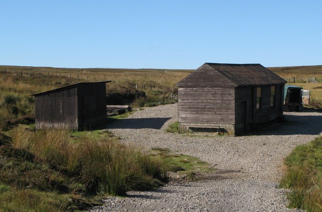
Cross Cleugh Images

Images are sourced within 2km of 54.88774/-2.4040456 or Grid Reference NY7454. Thanks to Geograph Open Source API. All images are credited.

Trig point on Pike Rigg Pike Rigg is a minor elongated rise on Whitfield Moor. Stones have been gathered close to the pillar and some have been formed into a 'currick' which is just out of view to the right. The small building in the distance is used as a store for a farmer or shepherd.
Trig point on Pike Rigg
Pike Rigg is a minor elongated rise on Whitfield Moor. Stones have been gathered close to the pillar and some have been formed into a 'currick' which is just out of view to the right. The small building in the distance is used as a store for a farmer or shepherd.
Sheepfold in Hope Cleugh Hope Cleugh is the main valley in this vicinity where a number of streams come together - stones in the oddly named Quonister Cleugh can just be seen at the top left corner in the image. There are several sheepfolds in the area too; this is the most intricately made of them.
Sheepfold in Hope Cleugh
Hope Cleugh is the main valley in this vicinity where a number of streams come together - stones in the oddly named Quonister Cleugh can just be seen at the top left corner in the image. There are several sheepfolds in the area too; this is the most intricately made of them.
Moorland, Coanwood Sheep to the south of Humble Dodd.
Moorland, Coanwood
Sheep to the south of Humble Dodd.
Moorland, Coanwood
Moorland, Coanwood
Moorland, Coanwood
Moorland, Coanwood
Moorland, Coanwood
Moorland, Coanwood
Whitfield Lough Whitfield Lough is an unusually large sheet of water for the northern Pennines, it lies to the north-west of the minor feature Pike Rigg, in an area of desolate moorland.
Whitfield Lough
Whitfield Lough is an unusually large sheet of water for the northern Pennines, it lies to the north-west of the minor feature Pike Rigg, in an area of desolate moorland.
Stream groove on Mainsrigg Fell Mainsrigg Fell is part of the moorland upland Pike Rigg. The stream head doesn't register on OS mapping but must surely feed into Little Willy's Sike.
West Allendale is in the distance.
Stream groove on Mainsrigg Fell
Mainsrigg Fell is part of the moorland upland Pike Rigg. The stream head doesn't register on OS mapping but must surely feed into Little Willy's Sike. West Allendale is in the distance.
Moorland east of Pike Rigg Pike Rigg is part of Whitfield Moor, here, east of the trig point and hut which are at the high point.
The ridge in the far distance lies between the East and West Allendales.
Moorland east of Pike Rigg
Pike Rigg is part of Whitfield Moor, here, east of the trig point and hut which are at the high point. The ridge in the far distance lies between the East and West Allendales.
Rushes in groove leading to Little Willy's Sike There's water hidden beneath the vegetation in this minor groove; the Sike itself is just a short distance ahead.
Rushes in groove leading to Little Willy's Sike
There's water hidden beneath the vegetation in this minor groove; the Sike itself is just a short distance ahead.
Erosion scar on south side of Carr's Burn The scar shows signs of 'healing' and other similar scars further up the valley have done so.
Erosion scar on south side of Carr's Burn
The scar shows signs of 'healing' and other similar scars further up the valley have done so.
Carr's Burn Carr's Burn, the product of a number of feeder streams coming together just out of view to the left, flowing downstream to join the River West Allen.
Carr's Burn
Carr's Burn, the product of a number of feeder streams coming together just out of view to the left, flowing downstream to join the River West Allen.
Heather along ridge of Pike Rigg Pike Rigg is a heathery moorland ridge. The highest point is close to the tall cairn in the distance where there's also a trig point. The small building to the right of the cairn is securely locked and acts as a home for pigeons and / or doves, as well no doubt, as having other uses.
Heather along ridge of Pike Rigg
Pike Rigg is a heathery moorland ridge. The highest point is close to the tall cairn in the distance where there's also a trig point. The small building to the right of the cairn is securely locked and acts as a home for pigeons and / or doves, as well no doubt, as having other uses.
Pike Rigg Right on the edge of the grid-square. I think the hut is just outside.
Pike Rigg
Right on the edge of the grid-square. I think the hut is just outside.
Whitfield Lough Looking north from Lough Hill.
Whitfield Lough
Looking north from Lough Hill.
Great Willy's Sike Looking southwest (upstream) towards Whitfield Law in <a href="https://www.geograph.org.uk/gridref/NY7253">NY7253</a>.
Great Willy's Sike
Looking southwest (upstream) towards Whitfield Law in NY7253.
Little Willy's Sike Looking upstream towards Pikerigg Currick on the border of <a href="https://www.geograph.org.uk/gridref/NY7253">NY7253</a> and <a href="https://www.geograph.org.uk/gridref/NY7353">NY7353</a>.
Little Willy's Sike
Looking upstream towards Pikerigg Currick on the border of NY7253 and NY7353.
Shooting boxes Marked on the 1:25000 map OL43, but not on LR87.
Shooting boxes
Marked on the 1:25000 map OL43, but not on LR87.
Show me another place!

Cross Cleugh is located at Grid Ref: NY7454 (Lat: 54.88774, Lng: -2.4040456)

Unitary Authority: Northumberland

Police Authority: Northumbria

What 3 Words

///blotches.clinic.headless. Near Alston, Cumbria

Nearby Locations

Cross Cleugh

Related Wikis

Ouston, Ninebanks

Ouston is a small settlement in south west Northumberland, England in the North Pennines Area of Outstanding Natural Beauty 8 miles (13 km) north-east...

Ninebanks

Ninebanks is a small village in south west Northumberland, England in the North Pennines Area of Outstanding Natural Beauty 8 miles (13 km) north-east...

Whitfield, Northumberland

Whitfield is a village and former civil parish, now in the parish of Plenmeller with Whitfield, in the county of Northumberland, England about 10 miles...

Bearsbridge

Bearsbridge is a village in Northumberland, in England. It is situated to the west of Hexham, on the A686. == Governance == Bearsbridge is in the parliamentary...

Coanwood Friends Meeting House

Coanwood Friends Meeting House is a redundant Quaker meeting house under the care of the Historic Chapels Trust. It stands in an isolated, sparsely populated...

Ayle

Ayle is a village in Northumberland, England, situated to the north of Alston. There are six residences in the hamlet. == Governance == Ayle is in the...

Lintley Halt railway station

Lintley Halt is a railway station on the South Tynedale Railway, which runs between Slaggyford and Alston. The station is located about 1+1⁄4 miles (2...

Kirkhaugh

Kirkhaugh is a very small village and former civil parish, now in the parish of Knaresdale with Kirkhaugh, adjacent to the River South Tyne in Northumberland...

Nearby Amenities

Located within 500m of 54.88774,-2.4040456
Chair Stone
Place: locality
Source: Bing
Lat/Long: 54.8911269/-2.4020821
Cross Cleugh
Place: locality
Source: Bing
Lat/Long: 54.887018/-2.405365
Cross Cleugh
Place: locality
Source: Bing
Lat/Long: 54.8904489/-2.3992104
Lord's Rigg
Place: locality
Source: Bing
Lat/Long: 54.8847594/-2.4056398
Mainsrigg Fell
Place: locality
Source: Bing
Lat/Long: 54.8895313/-2.4043157
The data included in this document is from www.openstreetmap.org. The data is made available under ODbL.

Have you been to Cross Cleugh?

Leave your review of Cross Cleugh below (or comments, questions and feedback).