Aspen Valley

Valley in Lancashire Hyndburn

England

Aspen Valley

Church of St. Peter & St. Paul, Rishton
Church of St. Peter & St. Paul, Rishton Credit: Nigel Thompson

Aspen Valley is a charming village located in the county of Lancashire, England. Nestled within the beautiful countryside, this idyllic village offers a peaceful and scenic environment for its residents and visitors alike. With a population of around 1,500 inhabitants, Aspen Valley maintains a close-knit community spirit and a welcoming atmosphere.

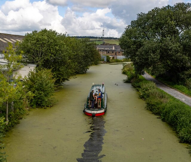
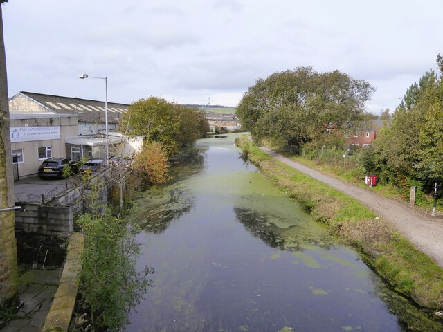
The village is renowned for its picturesque landscapes, with rolling hills, lush green fields, and meandering streams. Nature lovers and outdoor enthusiasts are drawn to Aspen Valley for its abundant walking and cycling trails that showcase the stunning natural beauty of the area. The village also boasts a well-maintained park, providing a perfect spot for relaxation and family picnics.

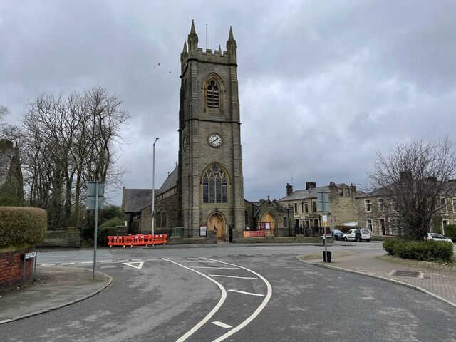
Aspen Valley is rich in history and culture, with several historic landmarks dotted throughout the village. The quaint St. Mary's Church, dating back to the 12th century, stands as a testament to the village's long-standing heritage. The local museum offers an insight into the area's past, showcasing artifacts and exhibits that tell the story of Aspen Valley's evolution over the centuries.

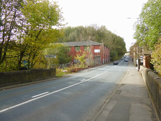
Despite its tranquil ambiance, Aspen Valley is not isolated from modern amenities. The village is home to a range of shops, cafes, and pubs, ensuring that residents have easy access to everyday necessities and leisure activities. Additionally, Aspen Valley hosts an annual summer fair, attracting visitors from far and wide to enjoy traditional games, food stalls, and live music.

Overall, Aspen Valley offers a serene and picturesque escape from the hustle and bustle of city life. With its stunning natural surroundings, rich history, and vibrant community, this Lancashire village is a true hidden gem.

If you have any feedback on the listing, please let us know in the comments section below.
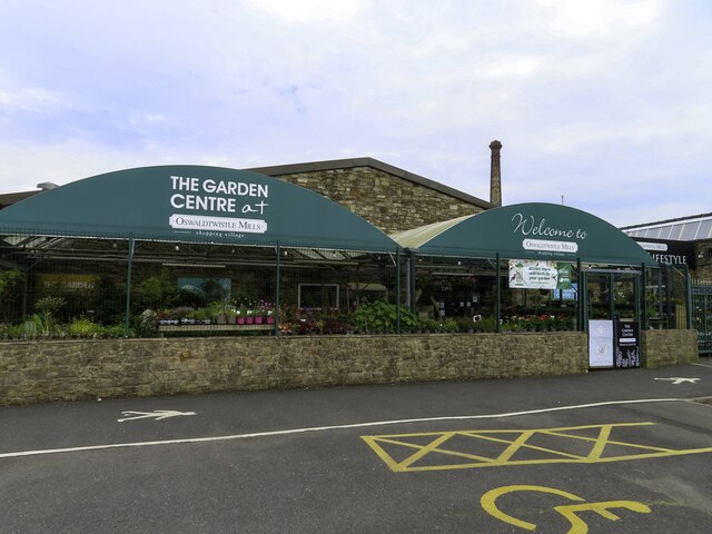
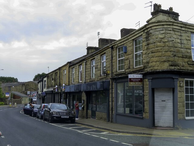
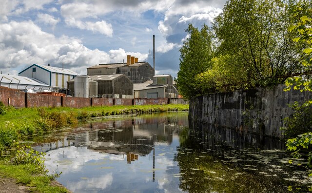
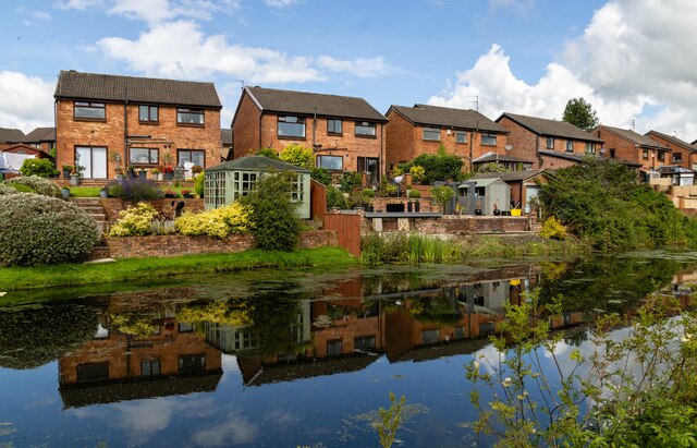
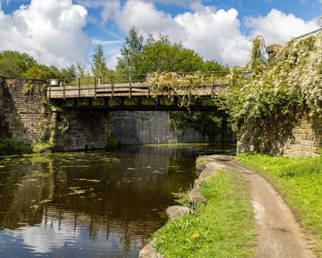
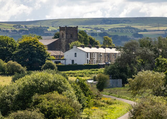
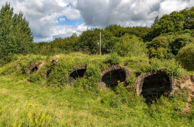
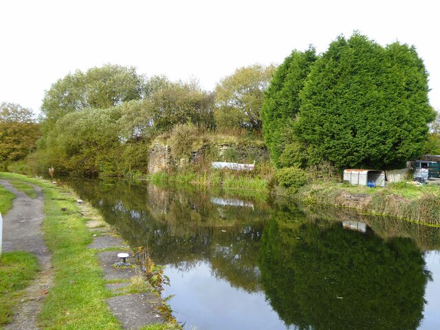
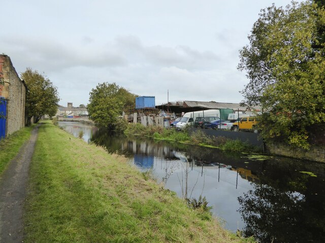
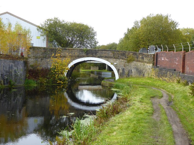
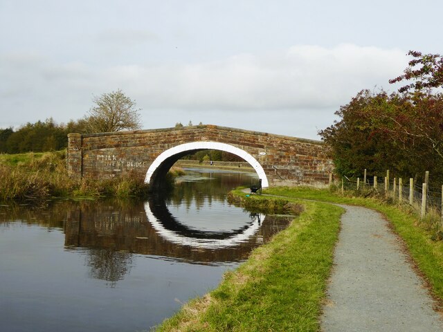
Aspen Valley Images

Images are sourced within 2km of 53.753468/-2.404388 or Grid Reference SD7328. Thanks to Geograph Open Source API. All images are credited.

Church of St. Peter & St. Paul, Rishton
Leeds & Liverpool Canal The Leeds and Liverpool Canal is the longest canal in Northern England at 127 miles long. The first of the trans-Pennine canals it took 46 years to build at a cost of five times the original budget, mainly because of the length and complexity of the route. It passes through 91 locks with a summit level of 487 feet at Foulridge near Nelson and Colne. It was originally conceived in the 18th century to carry woollen goods from Leeds and Bradford and limestone from Skipton but in its 19th century heyday it carried stone, coal and many other goods. The impact of the railways was not as great as with other canals and commercial traffic continued along the main canal until 1964. Regular work stopped in 1972 when the movement of coal to Wigan Power Station ceased. In the latter part of the 20th century the leisure potential of the canal was developed and it is now a popular destination for cruising, fishing, walking and cycling. See <span class="nowrap"><a title="http://www.penninewaterways.co.uk/ll/index.htm" rel="nofollow ugc noopener" href="http://www.penninewaterways.co.uk/ll/index.htm">Link</a><img style="margin-left:2px;" alt="External link" title="External link - shift click to open in new window" src="https://s1.geograph.org.uk/img/external.png" width="10" height="10"/></span> for detailed information.
Leeds & Liverpool Canal
The Leeds and Liverpool Canal is the longest canal in Northern England at 127 miles long. The first of the trans-Pennine canals it took 46 years to build at a cost of five times the original budget, mainly because of the length and complexity of the route. It passes through 91 locks with a summit level of 487 feet at Foulridge near Nelson and Colne. It was originally conceived in the 18th century to carry woollen goods from Leeds and Bradford and limestone from Skipton but in its 19th century heyday it carried stone, coal and many other goods. The impact of the railways was not as great as with other canals and commercial traffic continued along the main canal until 1964. Regular work stopped in 1972 when the movement of coal to Wigan Power Station ceased. In the latter part of the 20th century the leisure potential of the canal was developed and it is now a popular destination for cruising, fishing, walking and cycling. See LinkExternal link for detailed information.
Leeds and Liverpool Canal View from the bridge on Hermitage Street
Leeds and Liverpool Canal
View from the bridge on Hermitage Street
Entering Rishton on Hermitage Street At the end of Holt Mill Bridge with the former Rishton Paper Mill ahead and the climb up into Rishton
Entering Rishton on Hermitage Street
At the end of Holt Mill Bridge with the former Rishton Paper Mill ahead and the climb up into Rishton
Oswaldtwistle Mills
Oswaldtwistle Mills
Shops on Union Road in Oswaldtwistle
Rishton railway station, Lancashire Opened in 1853 by the East Lancashire Railway, later part of the Lancashire & Yorkshire Railway, on the line from Blackburn to Burnley. There may have also been a station open here for a few months in 1848.
View east, towards Church & Oswaldtwistle and Accrington. The station building and goods shed were formerly on the platform to the left and unusually, a goods siding ran where the houses on the far left now are, meaning that the footbridge was longer as it had to cross that as well. 
New waiting shelters have been provided since <a href="https://www.geograph.org.uk/photo/3204566">SD7229 : Rishton railway station, Lancashire</a> was taken on the left-hand platform.
Rishton railway station, Lancashire
Opened in 1853 by the East Lancashire Railway, later part of the Lancashire & Yorkshire Railway, on the line from Blackburn to Burnley. There may have also been a station open here for a few months in 1848. View east, towards Church & Oswaldtwistle and Accrington. The station building and goods shed were formerly on the platform to the left and unusually, a goods siding ran where the houses on the far left now are, meaning that the footbridge was longer as it had to cross that as well. New waiting shelters have been provided since SD7229 : Rishton railway station, Lancashire was taken on the left-hand platform.
William Blythe Chemical Works The William Blythe Chemical Works seen from the Leeds & Liverpool Canal.
William Blythe Chemical Works
The William Blythe Chemical Works seen from the Leeds & Liverpool Canal.
Rishton Petre Crescent in Rishton, seen from the Leeds & Liverpool Canal.
Rishton
Petre Crescent in Rishton, seen from the Leeds & Liverpool Canal.
Leeds & Liverpool Canal The Leeds and Liverpool Canal is the longest canal in Northern England at 127 miles long. The first of the trans-Pennine canals it took 46 years to build at a cost of five times the original budget, mainly because of the length and complexity of the route. It passes through 91 locks with a summit level of 487 feet at Foulridge near Nelson and Colne. It was originally conceived in the 18th century to carry woollen goods from Leeds and Bradford and limestone from Skipton but in its 19th century heyday it carried stone, coal and many other goods. The impact of the railways was not as great as with other canals and commercial traffic continued along the main canal until 1964. Regular work stopped in 1972 when the movement of coal to Wigan Power Station ceased. In the latter part of the 20th century the leisure potential of the canal was developed and it is now a popular destination for cruising, fishing, walking and cycling. See <span class="nowrap"><a title="http://www.penninewaterways.co.uk/ll/index.htm" rel="nofollow ugc noopener" href="http://www.penninewaterways.co.uk/ll/index.htm">Link</a><img style="margin-left:2px;" alt="External link" title="External link - shift click to open in new window" src="https://s1.geograph.org.uk/img/external.png" width="10" height="10"/></span> for detailed information.
Leeds & Liverpool Canal
The Leeds and Liverpool Canal is the longest canal in Northern England at 127 miles long. The first of the trans-Pennine canals it took 46 years to build at a cost of five times the original budget, mainly because of the length and complexity of the route. It passes through 91 locks with a summit level of 487 feet at Foulridge near Nelson and Colne. It was originally conceived in the 18th century to carry woollen goods from Leeds and Bradford and limestone from Skipton but in its 19th century heyday it carried stone, coal and many other goods. The impact of the railways was not as great as with other canals and commercial traffic continued along the main canal until 1964. Regular work stopped in 1972 when the movement of coal to Wigan Power Station ceased. In the latter part of the 20th century the leisure potential of the canal was developed and it is now a popular destination for cruising, fishing, walking and cycling. See LinkExternal link for detailed information.
St Jame's St Jame's Church at Church.
St Jame's
St Jame's Church at Church.
Aspen Colliery Remains of the coke ovens at the Aspen Colliery.
Aspen Colliery
Remains of the coke ovens at the Aspen Colliery.
Old coal staithe on Leeds and Liverpool Canal Just west of Church swing bridge an embankment reaches the canal and terminates in the masonry in the centre of the view. From old OS maps this embankment connected a coal shaft with the canal.
Old coal staithe on Leeds and Liverpool Canal
Just west of Church swing bridge an embankment reaches the canal and terminates in the masonry in the centre of the view. From old OS maps this embankment connected a coal shaft with the canal.
Leeds and Liverpool Canal With car breaker's vehicles pushing into the canal
Leeds and Liverpool Canal
With car breaker's vehicles pushing into the canal
Foxhill Bank Bridge No.111 Across the Leeds and Liverpool Canal and appearing to be sealed off and unused
Foxhill Bank Bridge No.111
Across the Leeds and Liverpool Canal and appearing to be sealed off and unused
New Barn Bridge No.109 Across the Leeds and Liverpool Canal
New Barn Bridge No.109
Across the Leeds and Liverpool Canal
Leeds and Liverpool Canal south of Rishton Viewed from the railway, on a frosty morning. For a similar view from towpath level, see <a href="https://www.geograph.org.uk/photo/5786541">SD7328 : Towpath along the Leeds and Liverpool Canal</a>.
Leeds and Liverpool Canal south of Rishton
Viewed from the railway, on a frosty morning. For a similar view from towpath level, see SD7328 : Towpath along the Leeds and Liverpool Canal.
Canal bridge south of Rishton In the centre is New Barn Bridge <a href="https://www.geograph.org.uk/photo/7636037">SD7329 : New Barn Bridge No.109</a>. Nearer and to the right is a localised widening of the canal, which is shown on maps from over 100 years ago, but with no obvious purpose - it's not near any lock or wharf. In the distance, 14km away, is Pendle.
Canal bridge south of Rishton
In the centre is New Barn Bridge SD7329 : New Barn Bridge No.109. Nearer and to the right is a localised widening of the canal, which is shown on maps from over 100 years ago, but with no obvious purpose - it's not near any lock or wharf. In the distance, 14km away, is Pendle.
Show me another place!

Aspen Valley is located at Grid Ref: SD7328 (Lat: 53.753468, Lng: -2.404388)

Administrative County: Lancashire

District: Hyndburn

Police Authority: Lancashire

What 3 Words

///swear.cooks.filled. Near Church, Lancashire

Related Wikis

Aspden

Aspden is the historic name of a valley a mile west of Church and a mile north of Oswaldtwistle, between Accrington and Blackburn, in Lancashire, England...

St James' Church, Church Kirk

St James' Church is an redundant church in St James' Road, Church, Hyndburn, Lancashire, England. It was an active Anglican parish church in the deanery...

Church & Oswaldtwistle railway station

Church & Oswaldtwistle railway station serves both the village of Church and the town of Oswaldtwistle, in Lancashire, England. The station is 5+1⁄3 miles...

Church, Lancashire

Church is a large village in Hyndburn, Lancashire, England, situated one mile (1.6 km) west of Accrington. The village had a population of 5,186 at the...

Nearby Amenities

Located within 500m of 53.753468,-2.404388
West End
Place: suburb
Source: npe
Lat/Long: 53.7520249/-2.4111424
Noexit: yes
Lat/Long: 53.7494627/-2.4072988
West End Convenience Store
Shop: convenience
Lat/Long: 53.7501986/-2.4082268
Post Office
West End post Offince
Shop: convenience
Source: OS_OpenData_StreetView
Lat/Long: 53.7502684/-2.4065478
Turning Circle
Lat/Long: 53.7495768/-2.4064083
Post Box
Lat/Long: 53.7502111/-2.4064982
Fast Food
West End Chip Shop
Cuisine: seafood
Lat/Long: 53.7502208/-2.4084682
Bus Stop
Spread Eagle Street
Naptan AtcoCode: 2500139
Naptan NaptanCode: lanamgdj
Public Transport: platform
Lat/Long: 53.7504143/-2.4092836
Check Date: 2020-01-18
Disused Shop: convenience
Lat/Long: 53.750473/-2.4097798
Moving PEOPLE
Addr City: Accrington
Addr Postcode: BB5 4NA
Addr Street: Blackburn Road
Phone: +44 345 475 1212
Shop: travel_agency
Website: http://www.movingpeopleltd.co.uk
Lat/Long: 53.7506486/-2.4099552
Crossing
Crossing: zebra
Kerb: lowered
Tactile Paving: yes
Lat/Long: 53.7504118/-2.409775
Noexit: yes
Lat/Long: 53.7499638/-2.4073416
Bus Stop
Bus: yes
Public Transport: platform
Lat/Long: 53.7511739/-2.4008788
The data included in this document is from www.openstreetmap.org. The data is made available under ODbL.

Have you been to Aspen Valley?

Leave your review of Aspen Valley below (or comments, questions and feedback).