End, West

Settlement in Lancashire Hyndburn

England

End, West

Oswaldtwistle Mills
Oswaldtwistle Mills Credit: Steve Daniels

End is a small village located in West Lancashire, in the northwest region of England. Situated on the outskirts of the market town of Ormskirk, End is surrounded by picturesque countryside and offers a tranquil and rural setting.

The village is known for its charming and traditional architecture, with many stone-built cottages and farmhouses dotting the landscape. The community is close-knit and friendly, with a population of around 500 residents.

End benefits from its proximity to Ormskirk, which provides essential amenities such as shops, schools, and healthcare facilities. The village itself boasts a few local businesses, including a small convenience store and a cozy pub, which serves as a hub for social gatherings and events.

Nature lovers will appreciate the abundance of green spaces and walking paths in and around End. The nearby Beacon Country Park offers stunning views of the Lancashire countryside and provides opportunities for hiking, birdwatching, and picnicking.

The village also has historical significance, as it is home to the Grade II listed St. James' Church, a beautiful 19th-century building that attracts visitors interested in architecture and history.

End enjoys excellent transport links, with the nearby M58 motorway providing easy access to larger cities such as Liverpool and Manchester. Additionally, the village is served by regular bus services, connecting residents to surrounding towns and villages.

Overall, End offers a peaceful and idyllic lifestyle, making it an attractive place to reside for those seeking a rural retreat with convenient access to nearby amenities.

If you have any feedback on the listing, please let us know in the comments section below.
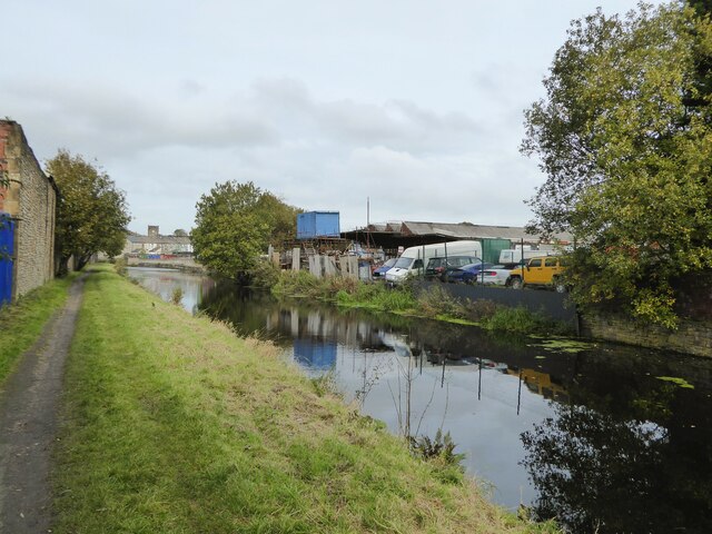
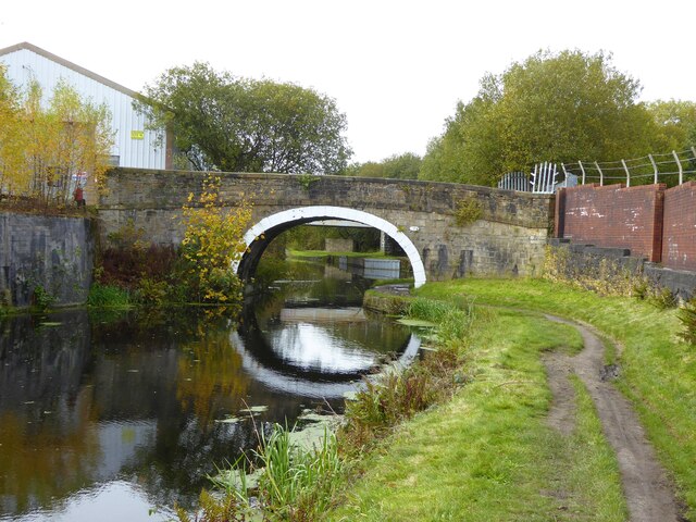
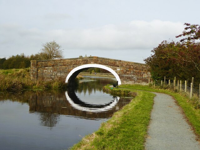
End, West Images

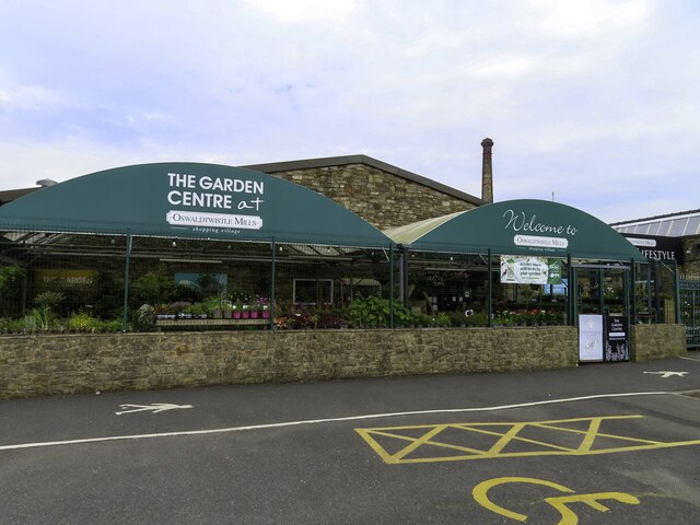
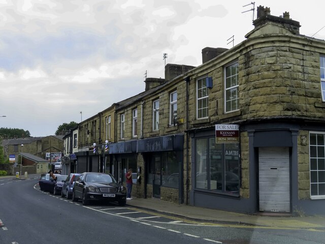
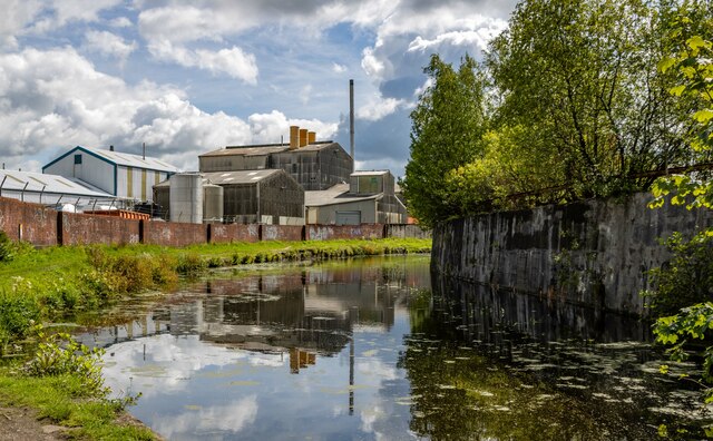
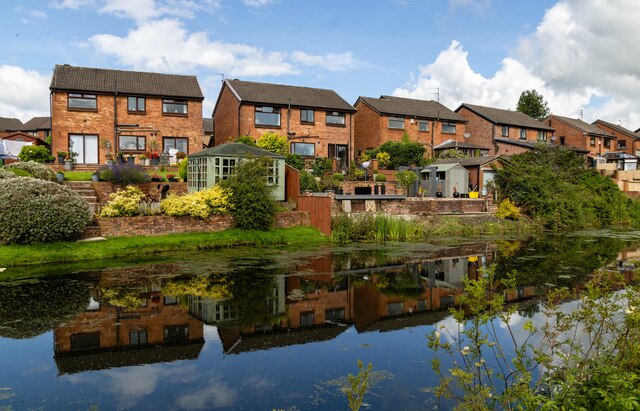
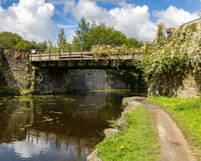
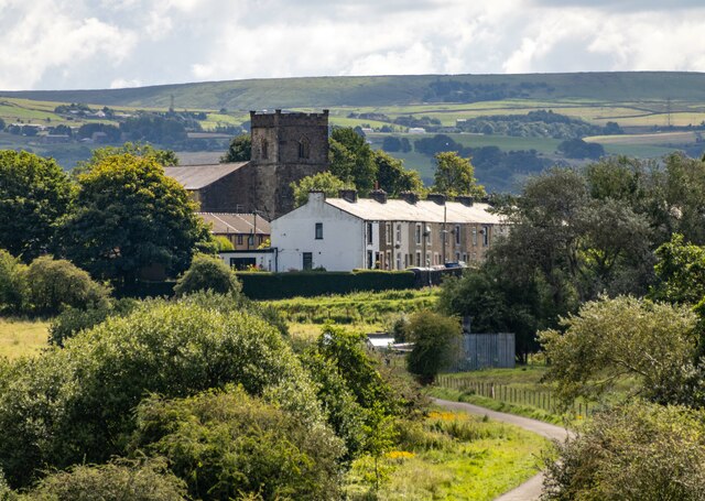
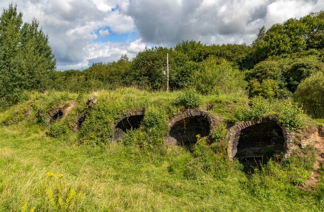
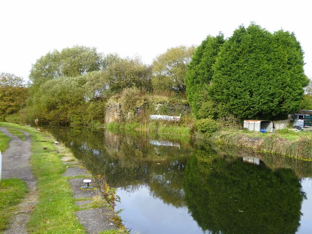
Images are sourced within 2km of 53.74942/-2.4053348 or Grid Reference SD7328. Thanks to Geograph Open Source API. All images are credited.

Oswaldtwistle Mills
Oswaldtwistle Mills
Shops on Union Road in Oswaldtwistle
Rishton railway station, Lancashire Opened in 1853 by the East Lancashire Railway, later part of the Lancashire & Yorkshire Railway, on the line from Blackburn to Burnley. There may have also been a station open here for a few months in 1848.
View east, towards Church & Oswaldtwistle and Accrington. The station building and goods shed were formerly on the platform to the left and unusually, a goods siding ran where the houses on the far left now are, meaning that the footbridge was longer as it had to cross that as well. 
New waiting shelters have been provided since <a href="https://www.geograph.org.uk/photo/3204566">SD7229 : Rishton railway station, Lancashire</a> was taken on the left-hand platform.
Rishton railway station, Lancashire
Opened in 1853 by the East Lancashire Railway, later part of the Lancashire & Yorkshire Railway, on the line from Blackburn to Burnley. There may have also been a station open here for a few months in 1848. View east, towards Church & Oswaldtwistle and Accrington. The station building and goods shed were formerly on the platform to the left and unusually, a goods siding ran where the houses on the far left now are, meaning that the footbridge was longer as it had to cross that as well. New waiting shelters have been provided since SD7229 : Rishton railway station, Lancashire was taken on the left-hand platform.
William Blythe Chemical Works The William Blythe Chemical Works seen from the Leeds & Liverpool Canal.
William Blythe Chemical Works
The William Blythe Chemical Works seen from the Leeds & Liverpool Canal.
Rishton Petre Crescent in Rishton, seen from the Leeds & Liverpool Canal.
Rishton
Petre Crescent in Rishton, seen from the Leeds & Liverpool Canal.
Leeds & Liverpool Canal The Leeds and Liverpool Canal is the longest canal in Northern England at 127 miles long. The first of the trans-Pennine canals it took 46 years to build at a cost of five times the original budget, mainly because of the length and complexity of the route. It passes through 91 locks with a summit level of 487 feet at Foulridge near Nelson and Colne. It was originally conceived in the 18th century to carry woollen goods from Leeds and Bradford and limestone from Skipton but in its 19th century heyday it carried stone, coal and many other goods. The impact of the railways was not as great as with other canals and commercial traffic continued along the main canal until 1964. Regular work stopped in 1972 when the movement of coal to Wigan Power Station ceased. In the latter part of the 20th century the leisure potential of the canal was developed and it is now a popular destination for cruising, fishing, walking and cycling. See <span class="nowrap"><a title="http://www.penninewaterways.co.uk/ll/index.htm" rel="nofollow ugc noopener" href="http://www.penninewaterways.co.uk/ll/index.htm">Link</a><img style="margin-left:2px;" alt="External link" title="External link - shift click to open in new window" src="https://s1.geograph.org.uk/img/external.png" width="10" height="10"/></span> for detailed information.
Leeds & Liverpool Canal
The Leeds and Liverpool Canal is the longest canal in Northern England at 127 miles long. The first of the trans-Pennine canals it took 46 years to build at a cost of five times the original budget, mainly because of the length and complexity of the route. It passes through 91 locks with a summit level of 487 feet at Foulridge near Nelson and Colne. It was originally conceived in the 18th century to carry woollen goods from Leeds and Bradford and limestone from Skipton but in its 19th century heyday it carried stone, coal and many other goods. The impact of the railways was not as great as with other canals and commercial traffic continued along the main canal until 1964. Regular work stopped in 1972 when the movement of coal to Wigan Power Station ceased. In the latter part of the 20th century the leisure potential of the canal was developed and it is now a popular destination for cruising, fishing, walking and cycling. See LinkExternal link for detailed information.
St Jame's St Jame's Church at Church.
St Jame's
St Jame's Church at Church.
Aspen Colliery Remains of the coke ovens at the Aspen Colliery.
Aspen Colliery
Remains of the coke ovens at the Aspen Colliery.
Old coal staithe on Leeds and Liverpool Canal Just west of Church swing bridge an embankment reaches the canal and terminates in the masonry in the centre of the view. From old OS maps this embankment connected a coal shaft with the canal.
Old coal staithe on Leeds and Liverpool Canal
Just west of Church swing bridge an embankment reaches the canal and terminates in the masonry in the centre of the view. From old OS maps this embankment connected a coal shaft with the canal.
Leeds and Liverpool Canal With car breaker's vehicles pushing into the canal
Leeds and Liverpool Canal
With car breaker's vehicles pushing into the canal
Foxhill Bank Bridge No.111 Across the Leeds and Liverpool Canal and appearing to be sealed off and unused
Foxhill Bank Bridge No.111
Across the Leeds and Liverpool Canal and appearing to be sealed off and unused
New Barn Bridge No.109 Across the Leeds and Liverpool Canal
New Barn Bridge No.109
Across the Leeds and Liverpool Canal
Leeds and Liverpool Canal south of Rishton Viewed from the railway, on a frosty morning. For a similar view from towpath level, see <a href="https://www.geograph.org.uk/photo/5786541">SD7328 : Towpath along the Leeds and Liverpool Canal</a>.
Leeds and Liverpool Canal south of Rishton
Viewed from the railway, on a frosty morning. For a similar view from towpath level, see SD7328 : Towpath along the Leeds and Liverpool Canal.
Canal bridge south of Rishton In the centre is New Barn Bridge <a href="https://www.geograph.org.uk/photo/7636037">SD7329 : New Barn Bridge No.109</a>. Nearer and to the right is a localised widening of the canal, which is shown on maps from over 100 years ago, but with no obvious purpose - it's not near any lock or wharf. In the distance, 14km away, is Pendle.
Canal bridge south of Rishton
In the centre is New Barn Bridge SD7329 : New Barn Bridge No.109. Nearer and to the right is a localised widening of the canal, which is shown on maps from over 100 years ago, but with no obvious purpose - it's not near any lock or wharf. In the distance, 14km away, is Pendle.
Leeds and Liverpool Canal at Rishton The Leeds and Liverpool Canal is the longest canal in Northern England at 127 miles long. The first of the trans-Pennine canals it took 46 years to build at a cost of five times the original budget, mainly because of the length and complexity of the route. It passes through 91 locks with a summit level of 487 feet at Foulridge near Nelson and Colne. It was originally conceived in the 18th century to carry woollen goods from Leeds and Bradford and limestone from Skipton but in its 19th century heyday it carried stone, coal and many other goods. The impact of the railways was not as great as with other canals and commercial traffic continued along the main canal until 1964. Regular work stopped in 1972 when the movement of coal to Wigan Power Station ceased. In the latter part of the 20th century the leisure potential of the canal was developed and it is now a popular destination for cruising, fishing, walking and cycling. See <span class="nowrap"><a title="http://www.penninewaterways.co.uk/ll/index.htm" rel="nofollow ugc noopener" href="http://www.penninewaterways.co.uk/ll/index.htm">Link</a><img style="margin-left:2px;" alt="External link" title="External link - shift click to open in new window" src="https://s1.geograph.org.uk/img/external.png" width="10" height="10"/></span> for detailed information.
Leeds and Liverpool Canal at Rishton
The Leeds and Liverpool Canal is the longest canal in Northern England at 127 miles long. The first of the trans-Pennine canals it took 46 years to build at a cost of five times the original budget, mainly because of the length and complexity of the route. It passes through 91 locks with a summit level of 487 feet at Foulridge near Nelson and Colne. It was originally conceived in the 18th century to carry woollen goods from Leeds and Bradford and limestone from Skipton but in its 19th century heyday it carried stone, coal and many other goods. The impact of the railways was not as great as with other canals and commercial traffic continued along the main canal until 1964. Regular work stopped in 1972 when the movement of coal to Wigan Power Station ceased. In the latter part of the 20th century the leisure potential of the canal was developed and it is now a popular destination for cruising, fishing, walking and cycling. See LinkExternal link for detailed information.
Leeds and Liverpool Canal, north side of Church
Leeds and Liverpool Canal, north side of Church The bridge carries the towpath over Peel Arm, a short off shoot of the canal which was built to serve Atlas Chemical Works and Peel Bank Works
Leeds and Liverpool Canal, north side of Church
The bridge carries the towpath over Peel Arm, a short off shoot of the canal which was built to serve Atlas Chemical Works and Peel Bank Works
Leeds and Liverpool Canal
Show me another place!

End, West is located at Grid Ref: SD7328 (Lat: 53.74942, Lng: -2.4053348)

Administrative County: Lancashire

District: Hyndburn

Police Authority: Lancashire

What 3 Words

///glad.prepares.newspaper. Near Church, Lancashire

Related Wikis

Aspden

Aspden is the historic name of a valley a mile west of Church and a mile north of Oswaldtwistle, between Accrington and Blackburn, in Lancashire, England...

Church & Oswaldtwistle railway station

Church & Oswaldtwistle railway station serves both the village of Church and the town of Oswaldtwistle, in Lancashire, England. The station is 5+1⁄3 miles...

Rhyddings

Rhyddings (formerly Rhyddings High School and then Rhyddings Business and Enterprise School) is a mixed secondary school located in Oswaldtwistle in the...

Oswaldtwistle

Oswaldtwistle ( "ozzel twizzel") is a town in the Hyndburn borough of Lancashire, England, 3 miles (5 km) southeast of Blackburn, contiguous with Accrington...

Nearby Amenities

Located within 500m of 53.74942,-2.4053348
West End
Place: suburb
Source: npe
Lat/Long: 53.7520249/-2.4111424
Turning Circle
Lat/Long: 53.746114/-2.4083142
Noexit: yes
Lat/Long: 53.7494627/-2.4072988
Turning Circle
Lat/Long: 53.7480844/-2.4075524
West End Convenience Store
Shop: convenience
Lat/Long: 53.7501986/-2.4082268
Post Office
West End post Offince
Shop: convenience
Source: OS_OpenData_StreetView
Lat/Long: 53.7502684/-2.4065478
Ladies Hairdresser
Shop: hairdresser
Lat/Long: 53.7494262/-2.410268
Bus Stop
Spread Eagle Street
Naptan AtcoCode: 2500IMG2118
Naptan NaptanCode: langadpw
Public Transport: platform
Lat/Long: 53.7505189/-2.4109949
Lee's Gents barbers
Shop: hairdresser
Lat/Long: 53.7505427/-2.4101956
Bus Stop
Church and Oswaldtwistle Cricket Club
Naptan AtcoCode: 2500IMG2119
Naptan NaptanCode: langadta
Operator: Transdev
Public Transport: platform
Lat/Long: 53.7508108/-2.4124218
Turning Circle
Lat/Long: 53.7495768/-2.4064083
Post Box
Lat/Long: 53.7502111/-2.4064982
Fast Food
West End Chip Shop
Cuisine: seafood
Lat/Long: 53.7502208/-2.4084682
Bus Stop
Spread Eagle Street
Naptan AtcoCode: 2500139
Naptan NaptanCode: lanamgdj
Public Transport: platform
Lat/Long: 53.7504143/-2.4092836
Check Date: 2020-01-18
Disused Shop: convenience
Lat/Long: 53.750473/-2.4097798
Turning Circle
Lat/Long: 53.7487047/-2.4043049
Foxhill Bank
Place: locality
Source: bing
Lat/Long: 53.748349/-2.3982281
Moving PEOPLE
Addr City: Accrington
Addr Postcode: BB5 4NA
Addr Street: Blackburn Road
Phone: +44 345 475 1212
Shop: travel_agency
Website: http://www.movingpeopleltd.co.uk
Lat/Long: 53.7506486/-2.4099552
Crossing
Crossing: zebra
Kerb: lowered
Tactile Paving: yes
Lat/Long: 53.7504118/-2.409775
Noexit: yes
Lat/Long: 53.7499638/-2.4073416
Bus Stop
Bus: yes
Public Transport: platform
Lat/Long: 53.7511739/-2.4008788
The data included in this document is from www.openstreetmap.org. The data is made available under ODbL.

Have you been to End, West?

Leave your review of End, West below (or comments, questions and feedback).