Thatch Cleugh

Valley in Cumberland Eden

England

Thatch Cleugh

Long Cross
Long Cross Credit: Mike Quinn

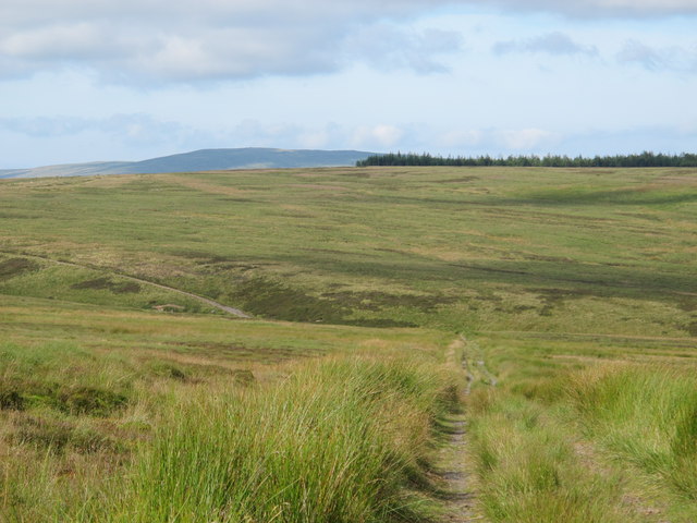
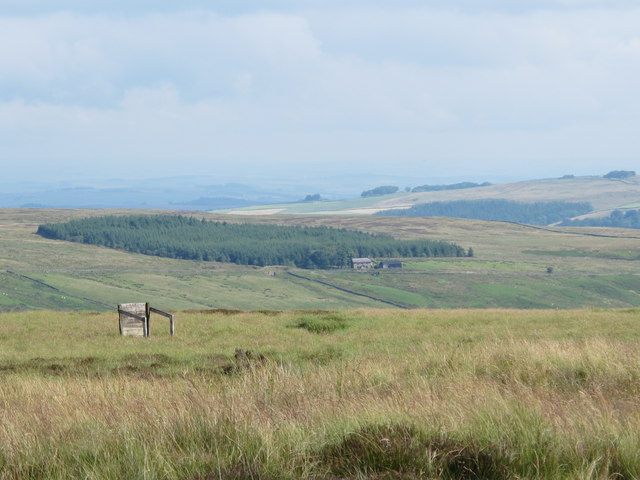
Thatch Cleugh, also known as Thackthwaite Cleugh, is a picturesque valley located in the county of Cumberland, England. Situated in the Lake District National Park, Thatch Cleugh is renowned for its stunning natural beauty and tranquil atmosphere.

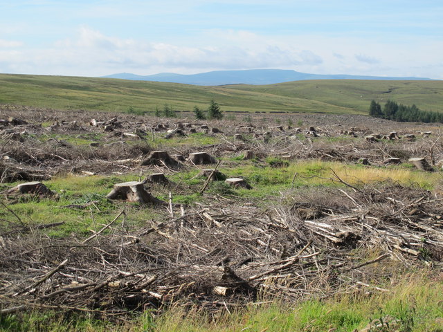
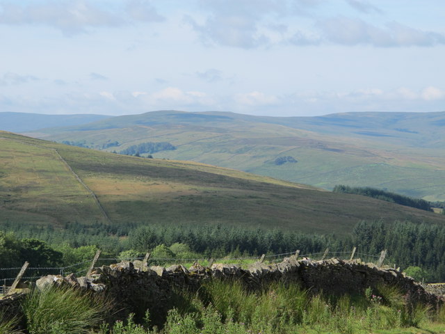
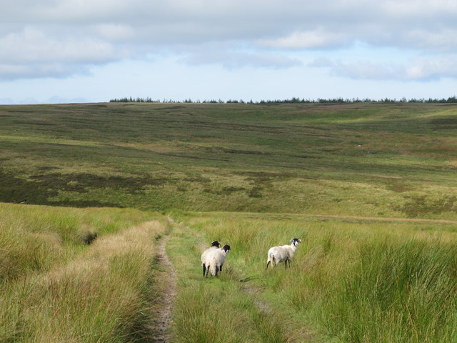
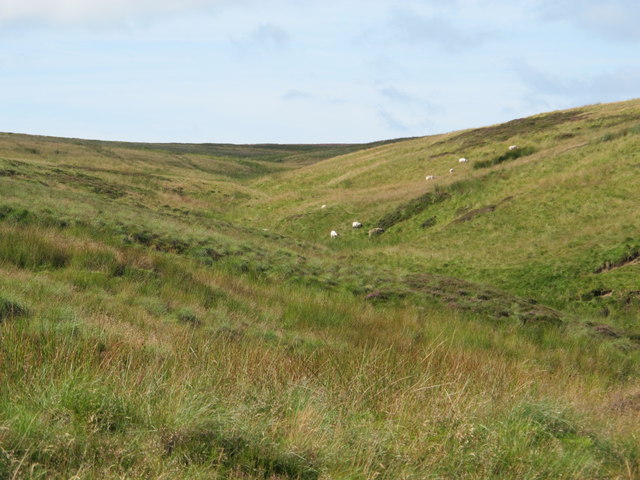
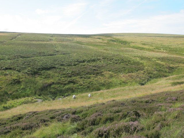
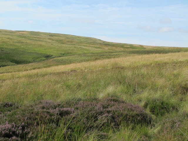
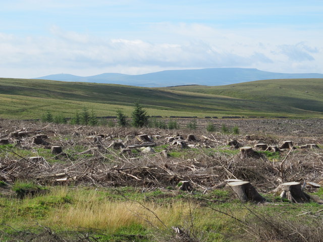
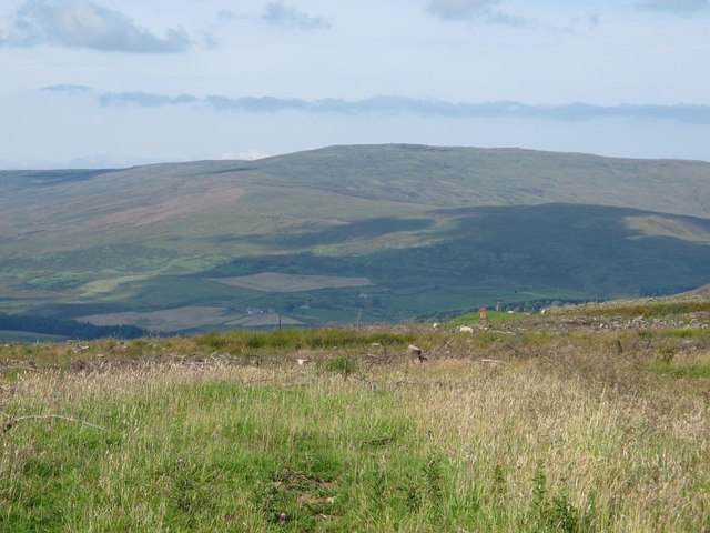
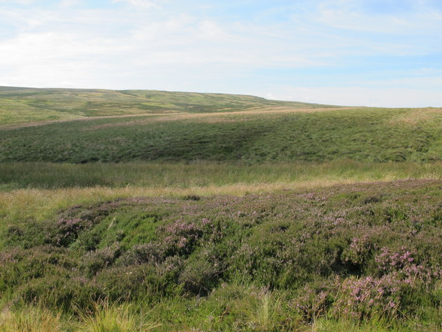
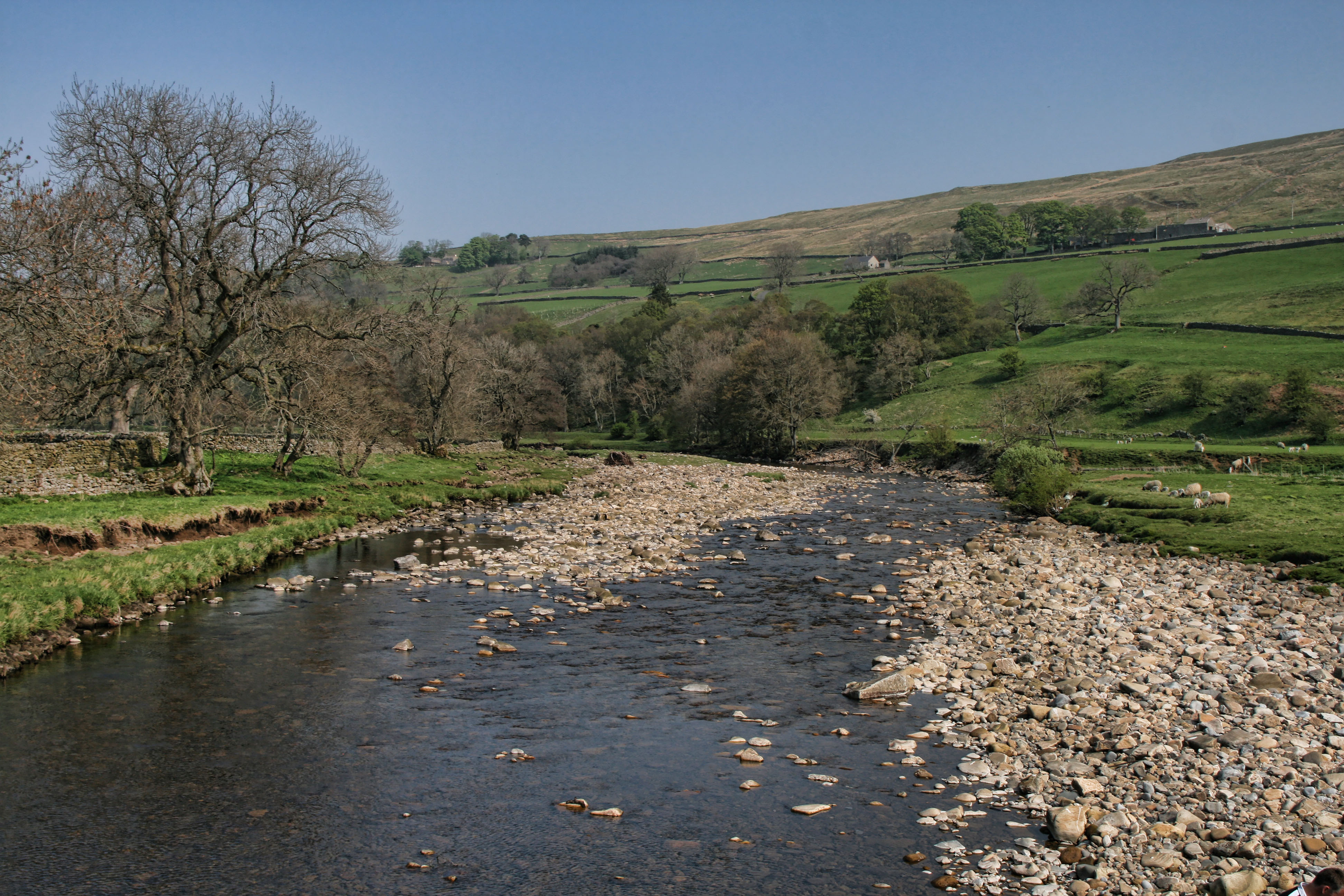
The valley is characterized by its rugged, rocky terrain, with steep slopes covered in lush green vegetation. The Cleugh is formed by the convergence of several small streams, which flow through the valley, creating a series of cascades and waterfalls. These water features add to the charm and allure of Thatch Cleugh, attracting visitors from near and far.

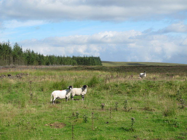
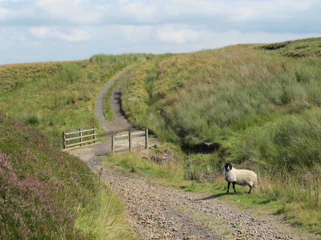
The vegetation in Thatch Cleugh is diverse and abundant, with a mixture of deciduous and evergreen trees, such as oak, beech, and pine. The valley is also home to a variety of wildlife, including birds, mammals, and insects. Nature enthusiasts can enjoy birdwatching, spotting species such as redstarts, dippers, and buzzards.

For outdoor enthusiasts, Thatch Cleugh offers excellent opportunities for hiking and exploring. There are numerous trails that wind through the valley, providing breathtaking views of the surrounding countryside. The valley is also a popular destination for photographers, with its idyllic landscapes and dramatic vistas.

Thatch Cleugh is a hidden gem in Cumberland, offering a peaceful retreat for those seeking solace in nature. Its unspoiled beauty and tranquility make it a must-visit destination for anyone exploring the Lake District National Park.

If you have any feedback on the listing, please let us know in the comments section below.

Thatch Cleugh Images

Images are sourced within 2km of 54.845187/-2.4154552 or Grid Reference NY7350. Thanks to Geograph Open Source API. All images are credited.

Long Cross
Long Cross
Felled plantation west of Long Cross Looking towards Great Dun Fell, Little Dun Fell and Cross Fell on the far horizon.
Felled plantation west of Long Cross
Looking towards Great Dun Fell, Little Dun Fell and Cross Fell on the far horizon.
View across Clargillhead
Sandy Ford
Sandy Ford
White Hill and the cleugh of Sandyford Sike
Long Cross (2) Looking towards Hard Rigg in <a href="https://www.geograph.org.uk/gridref/NY7448">NY7448</a>. A "reverse" view is shown in <a href="https://www.geograph.org.uk/photo/2666502">NY7448 : Hard Rigg above Long Cross</a>.
Long Cross (2)
Looking towards Hard Rigg in NY7448. A "reverse" view is shown in NY7448 : Hard Rigg above Long Cross.
Ouston Fell around Sandy Ford
Valley of a tributary of Sandyford Sike
High Banks Moss
High Banks Moss
The headwaters of Sandyford Sike
Long Moss Looking towards Hard Rigg in <a href="https://www.geograph.org.uk/gridref/NY7448">NY7448</a> / <a href="https://www.geograph.org.uk/gridref/NY7548">NY7548</a>.
Long Moss
Looking towards Hard Rigg in NY7448 / NY7548.
Ouston Fell east of Long Cross On the far horizon (left) are the <a href="https://www.geograph.org.uk/photo/598415">NY8053 : The Allendale lead smelting flue chimneys</a>.
Ouston Fell east of Long Cross
On the far horizon (left) are the NY8053 : The Allendale lead smelting flue chimneys.
Gatepost at Long Cross The path from Clargillhead to West Allendale via Long Cross is part of Isaac's Tea Trail <span class="nowrap"><a title="http://www.northumberlandlife.org/teatrail/default.asp" rel="nofollow ugc noopener" href="http://www.northumberlandlife.org/teatrail/default.asp">Link</a><img style="margin-left:2px;" alt="External link" title="External link - shift click to open in new window" src="https://s1.geograph.org.uk/img/external.png" width="10" height="10"/></span>.
Gatepost at Long Cross
The path from Clargillhead to West Allendale via Long Cross is part of Isaac's Tea Trail LinkExternal link.
Felled plantation west of Long Cross (2) Looking towards Great Dun Fell, Little Dun Fell and Cross Fell.
Felled plantation west of Long Cross (2)
Looking towards Great Dun Fell, Little Dun Fell and Cross Fell.
Moorland and felled plantation above Clargillhead Looking across the valley of the River South Tyne towards Grey Nag in <a href="https://www.geograph.org.uk/gridref/NY6647">NY6647</a>.
Moorland and felled plantation above Clargillhead
Looking across the valley of the River South Tyne towards Grey Nag in NY6647.
Ouston Fell west of Sandy Ford Looking across the valley of Whitewalls Burn towards Herd's House and the square-shaped plantation beyond in <a href="https://www.geograph.org.uk/gridref/NY7652">NY7652</a>.
Ouston Fell west of Sandy Ford
Looking across the valley of Whitewalls Burn towards Herd's House and the square-shaped plantation beyond in NY7652.
Long Moss (2) Looking towards Hard Rigg in <a href="https://www.geograph.org.uk/gridref/NY7448">NY7448</a> / <a href="https://www.geograph.org.uk/gridref/NY7548">NY7548</a>.
Long Moss (2)
Looking towards Hard Rigg in NY7448 / NY7548.
Eroded rock near Sandy Ford The location of the rock is shown in <a href="https://www.geograph.org.uk/photo/3307440">NY7550 : White Hill and the cleugh of Sandyford Sike</a>.
Eroded rock near Sandy Ford
The location of the rock is shown in NY7550 : White Hill and the cleugh of Sandyford Sike.
Show me another place!

Thatch Cleugh is located at Grid Ref: NY7350 (Lat: 54.845187, Lng: -2.4154552)

Administrative County: Cumbria

District: Eden

Police Authority: Cumbria

What 3 Words

///liver.fixtures.accordion. Near Alston, Cumbria

Related Wikis

Ayle

Ayle is a village in Northumberland, England, situated to the north of Alston. There are six residences in the hamlet. == Governance == Ayle is in the...

Gilderdale Halt railway station

Gilderdale Halt railway station, also known as Gilderdale railway station, served the town of Alston, Cumbria, England, from 1986 to 1999 on the South...

Kirkhaugh

Kirkhaugh is a very small village and former civil parish, now in the parish of Knaresdale with Kirkhaugh, adjacent to the River South Tyne in Northumberland...

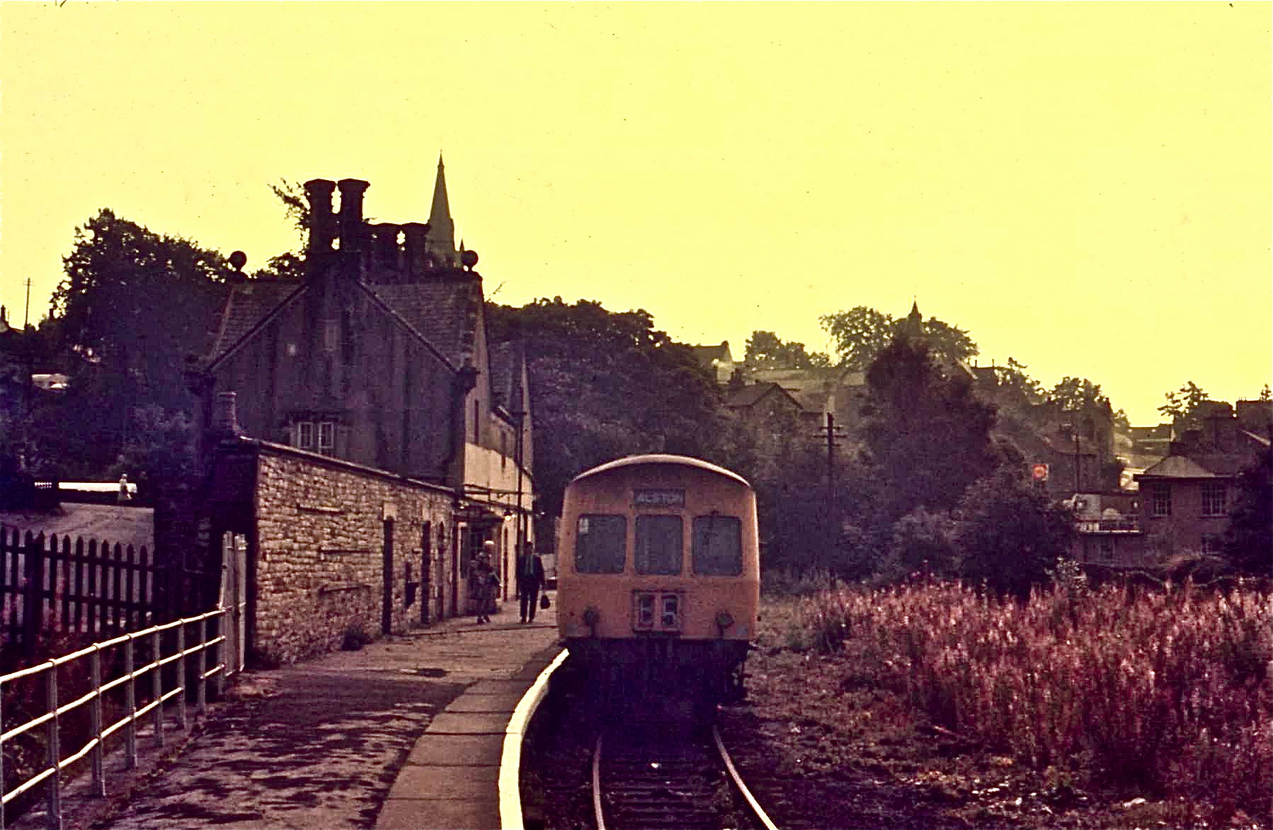
Alston railway station

Alston is a heritage railway station on the South Tynedale Railway. The station, situated 13 miles (21 km) south of Haltwhistle, is in the market town...

Nearby Amenities

Located within 500m of 54.845187,-2.4154552
Moscow
Place: locality
Lat/Long: 54.8457126/-2.4147541
Leipsic
Place: locality
Lat/Long: 54.8476858/-2.4156995
The Pennine Pottery
Addr City: Alston
Addr Country: GB
Addr Housename: The Pennine Pottery
Addr Postcode: CA9 3NG
Craft: pottery
Email: lascelles857@btinternet.com
Phone: +44 1434 382157
Website: www.penninepottery.co.uk
Lat/Long: 54.8429753/-2.4087099
Power: pole
Lat/Long: 54.8458808/-2.4144959
Power: pole
Lat/Long: 54.8450716/-2.4147854
Power: pole
Lat/Long: 54.8446755/-2.4149685
Power: pole
Lat/Long: 54.843825/-2.4152827
Power: pole
Lat/Long: 54.8427507/-2.4156588
Power: pole
Lat/Long: 54.8418303/-2.4160324
Power: pole
Lat/Long: 54.8408942/-2.4163838
Power: pole
Lat/Long: 54.8413345/-2.4149932
Power: pole
Lat/Long: 54.8417605/-2.4136175
Power: pole
Lat/Long: 54.8422136/-2.4121552
Power: pole
Lat/Long: 54.8424986/-2.411257
Power: pole
Lat/Long: 54.8428519/-2.4101337
Power: pole
Lat/Long: 54.8432352/-2.4088965
The data included in this document is from www.openstreetmap.org. The data is made available under ODbL.

Have you been to Thatch Cleugh?

Leave your review of Thatch Cleugh below (or comments, questions and feedback).