Scotland Clough

Valley in Lancashire

England

Scotland Clough

Long Hey Lane Descending to cross Mean Brook
Long Hey Lane Credit: Chris Heaton

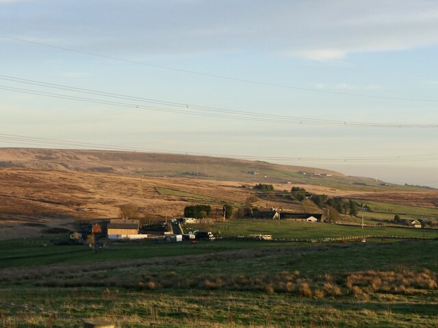
Scotland Clough is a picturesque valley located in the county of Lancashire, England. Nestled within the stunning Rossendale Valley, it is a place renowned for its natural beauty, rich history, and diverse wildlife. The name "Scotland Clough" is said to originate from the Scottish miners who settled in the area during the Industrial Revolution.

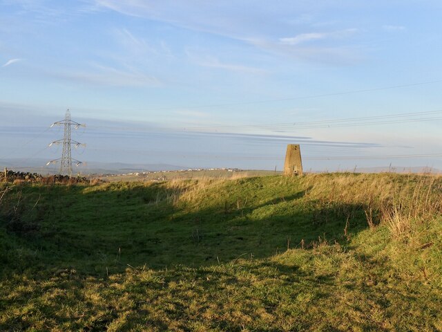
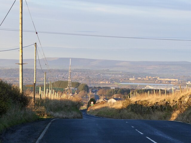
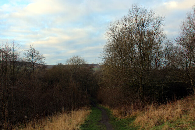
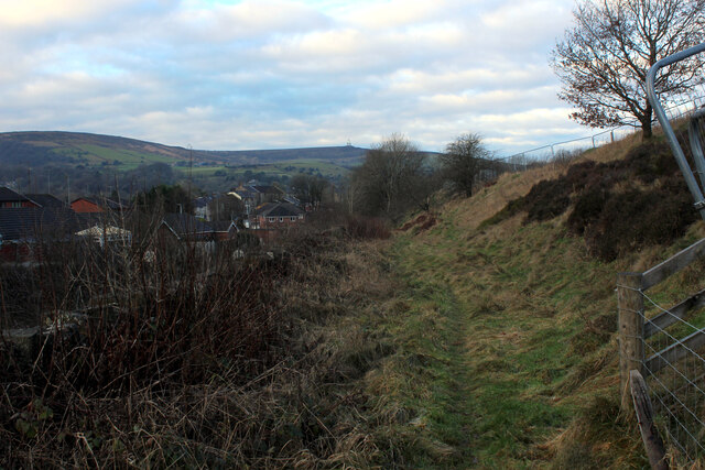
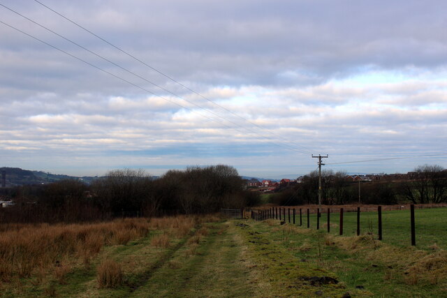
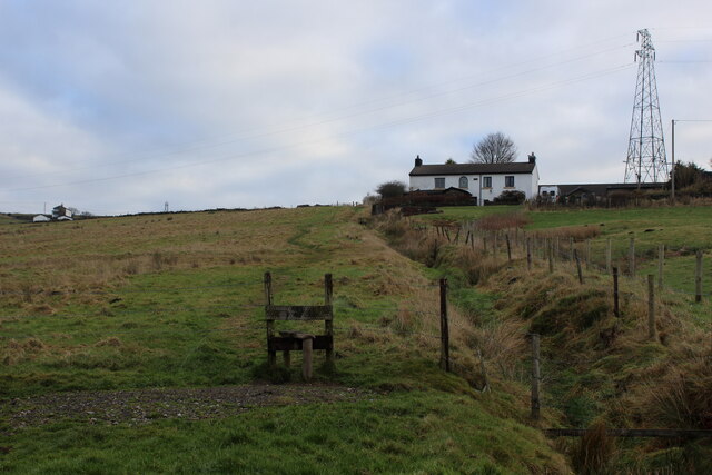
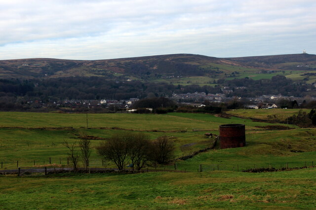
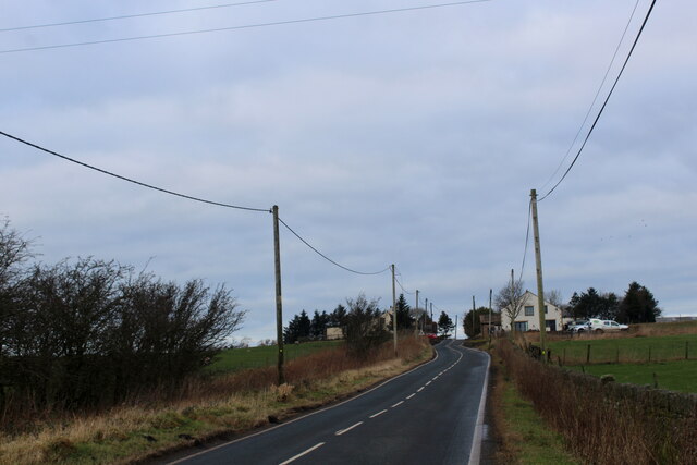
The valley is characterized by its lush green landscape, with rolling hills and dense forests providing a tranquil setting for visitors and locals alike. The River Irwell runs through the valley, adding to its charm and offering opportunities for leisurely walks and peaceful picnics along its banks.

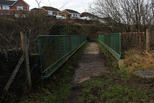
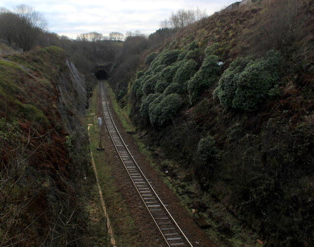
Scotland Clough is known for its scenic hiking trails, attracting outdoor enthusiasts and nature lovers. The trails lead through the valley and its surrounding hills, offering breathtaking views of the countryside. The area is home to a variety of plant and animal species, making it a haven for wildlife enthusiasts and birdwatchers.

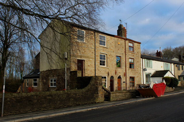
In addition to its natural beauty, Scotland Clough boasts a rich history dating back centuries. The valley was once home to thriving textile mills during the Industrial Revolution, playing a significant role in Lancashire's cotton industry. Today, remnants of these mills can still be seen, adding to the area's historical appeal.

Overall, Scotland Clough is a hidden gem in Lancashire, offering visitors a chance to immerse themselves in nature, explore its historical past, and experience the tranquility of the countryside.

If you have any feedback on the listing, please let us know in the comments section below.

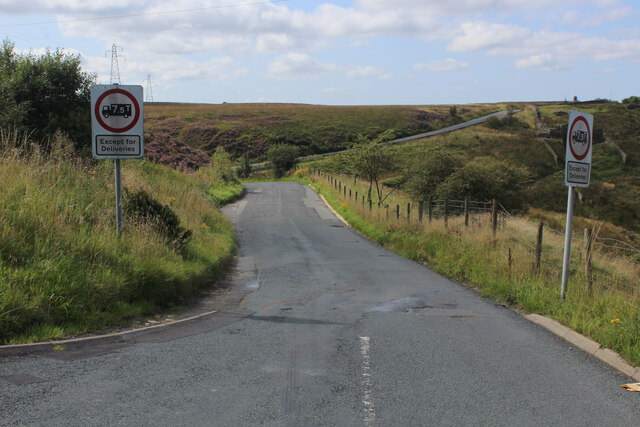
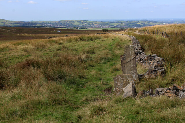
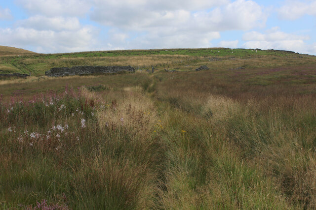
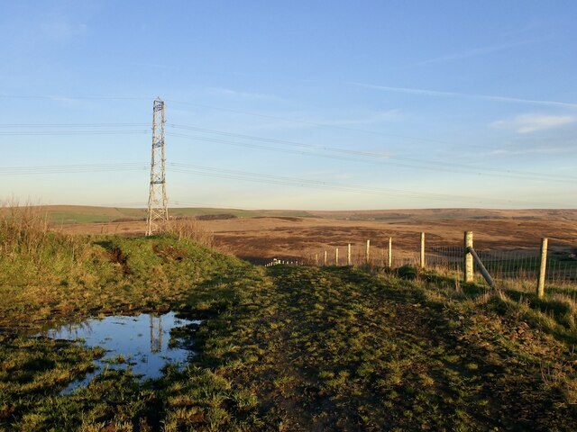
Scotland Clough Images

Images are sourced within 2km of 53.689989/-2.4266148 or Grid Reference SD7121. Thanks to Geograph Open Source API. All images are credited.

Long Hey Lane Descending to cross Mean Brook
Long Hey Lane
Descending to cross Mean Brook
Footpath heading towards Broadhead Road
Track leading away from Broadhead Road The public footpath concealed and smothered by vegetation
Track leading away from Broadhead Road
The public footpath concealed and smothered by vegetation
Rushton's Height
Rushton's Height
View towards Cuckoldmans From Rushton's Height
View towards Cuckoldmans
From Rushton's Height
Rushton's Height
Rushton's Height
Roman Road, Rushton's Height View down the predictably straight road towards Blackburn.
Roman Road, Rushton's Height
View down the predictably straight road towards Blackburn.
Housing on Pole Lane, Darwen
Entering Woodland Area from Priory Drive, Darwen Small area of woodland in Darwen, bounded by Priory Drive, Pole Lane and Sough Lane
Entering Woodland Area from Priory Drive, Darwen
Small area of woodland in Darwen, bounded by Priory Drive, Pole Lane and Sough Lane
Craven Heifer, Darwen Located on Pole Lane in Darwen.
Unusual name for a hostelry outside the Craven area, centred around Skipton in Yorkshire. It refers to a heifer that weighed over a ton and was bred in Gargrave, 1807.
Craven Heifer, Darwen
Located on Pole Lane in Darwen. Unusual name for a hostelry outside the Craven area, centred around Skipton in Yorkshire. It refers to a heifer that weighed over a ton and was bred in Gargrave, 1807.
Footpath heading for Sough, Darwen Follows the railway very closely - so closely in fact, that it is a squeeze between hedge vegetation and the rail boundary wall.
Footpath heading for Sough, Darwen
Follows the railway very closely - so closely in fact, that it is a squeeze between hedge vegetation and the rail boundary wall.
Causeway Street, Darwen
Footbridge over the Blackburn/Manchester Railway Line Crosses a deep cutting just north of the Sough Tunnel - part of the Ribble Valley Line between Manchester and Clitheroe, via Blackburn
Footbridge over the Blackburn/Manchester Railway Line
Crosses a deep cutting just north of the Sough Tunnel - part of the Ribble Valley Line between Manchester and Clitheroe, via Blackburn
Sough Tunnel North portal of the mile long Sough Tunnel - on the Ribble Valley Line between Clitheroe and Manchester, via Blackburn.
Sough Tunnel
North portal of the mile long Sough Tunnel - on the Ribble Valley Line between Clitheroe and Manchester, via Blackburn.
Footpath above the Sough Tunnel Footpath heading towards Darwen, while directly below in the bowels of the earth is the Sough Railway Tunnel
Footpath above the Sough Tunnel
Footpath heading towards Darwen, while directly below in the bowels of the earth is the Sough Railway Tunnel
Ascending towards Plantation Cottage Five public footpaths meet beside the white building ahead.
Ascending towards Plantation Cottage
Five public footpaths meet beside the white building ahead.
Ventilation Shaft above Sough Tunnel Serves the mile long Sough Railway Tunnel on the Ribble Valley Line between Manchester and Clitheroe, via Blackburn
Ventilation Shaft above Sough Tunnel
Serves the mile long Sough Railway Tunnel on the Ribble Valley Line between Manchester and Clitheroe, via Blackburn
Roman Road Long straight road upon which vehicles can attain high speeds - seen here heading towards Blacksnape
Roman Road
Long straight road upon which vehicles can attain high speeds - seen here heading towards Blacksnape
Show me another place!

Scotland Clough is located at Grid Ref: SD7121 (Lat: 53.689989, Lng: -2.4266148)

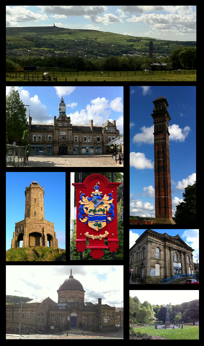
Unitary Authority: Blackburn with Darwen

Police Authority: Lancashire

What 3 Words

///gone.hoping.candy. Near Darwen, Lancashire

Nearby Locations

Blacksnape Scotland Clough

Related Wikis

Related Videos

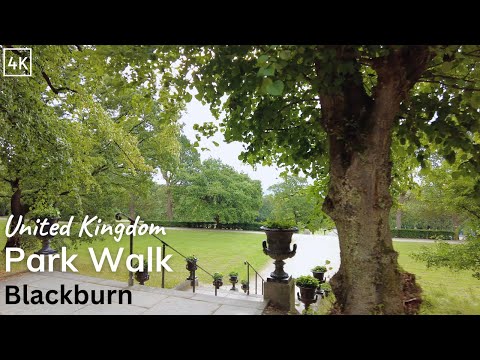
Corporation Park Walking Tour 4K - Nature Walk in Blackburn, Lancashire (60fps)

Short walk on a summer morning around Corporation Park in Blackburn. Just testing out my camera really. There's a couple of ...

If Only We Could Time Travel by Celebratory Cake live at number 39

epic cool song by epic cool band If Only We Could Time Travel by Celebratory Cake fully original Instagram and Facebook ...

Sweet Child O' Mine live - The Guns N' Roses Experience - UK GnR Tribute 2021 at Restricted Rocks

Sweet Child O' Mine live - The Guns N' Roses Experience - UK GnR Tribute 2021 at Restricted Rocks August Bank Holiday ...

How to make a paper airplane

You can also try different designs and modifications to your paper airplane to see how it affects the flight. For example, you can try ...
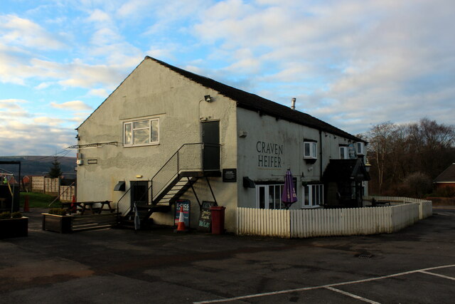
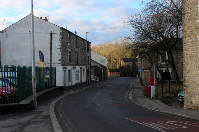
Nearby Amenities

Located within 500m of 53.689989,-2.4266148
Power: tower
Lat/Long: 53.6902948/-2.4286168
Power: tower
Lat/Long: 53.6882876/-2.4310618
Power: tower
Lat/Long: 53.6926516/-2.425743
Generator Method: photovoltaic
Generator Output Electricity: yes
Generator Solar Modules: 17
Generator Source: solar
Generator Type: solar_photovoltaic_panel
Location: roof
Power: generator
Lat/Long: 53.6927429/-2.4310641
Barrier: stile
Material: wood
Stile: stepover
Lat/Long: 53.6883397/-2.4227932
Barrier: stile
Material: wood
Stile: stepover
Lat/Long: 53.6877165/-2.4232769
Barrier: stile
Material: wood
Stile: stepover
Lat/Long: 53.6882202/-2.4228416
Barrier: stile
Informal: yes
Material: wood
Stile: ladder
Lat/Long: 53.6870372/-2.4237383
Ford: yes
Lat/Long: 53.6859002/-2.424877
Barrier: stile
Material: wood
Stile: stepover
Lat/Long: 53.6858086/-2.4247029
Barrier: stile
Material: wood
Stile: stepover
Lat/Long: 53.6865425/-2.4241103
Ford: yes
Lat/Long: 53.6873707/-2.4270173
The data included in this document is from www.openstreetmap.org. The data is made available under ODbL.

Have you been to Scotland Clough?

Leave your review of Scotland Clough below (or comments, questions and feedback).