Blacksnape

Settlement in Lancashire

England

Blacksnape

Rushton's Height
Rushton's Height Credit: Richard Webb

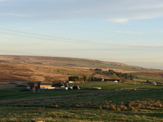
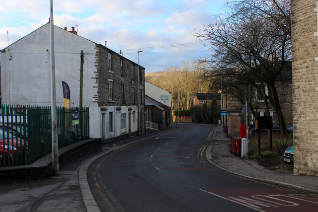
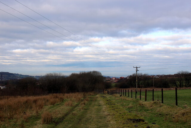
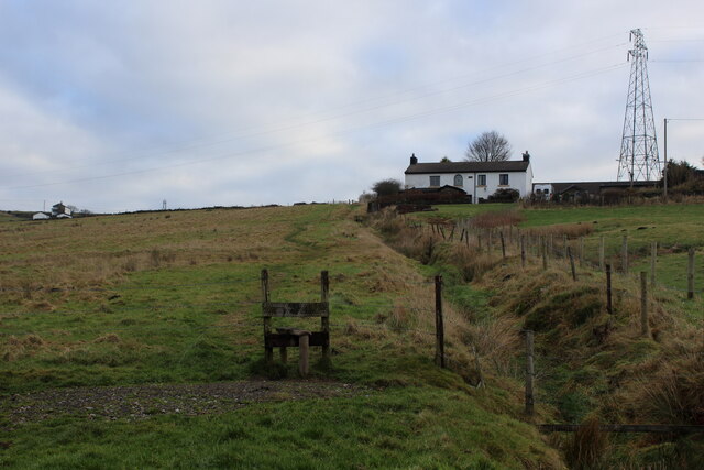
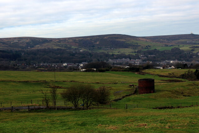
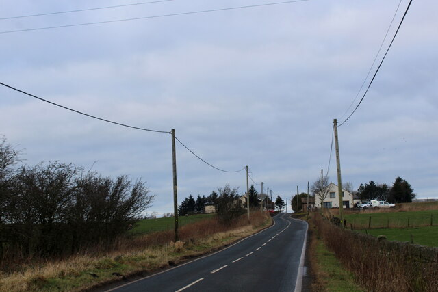
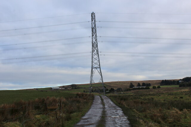
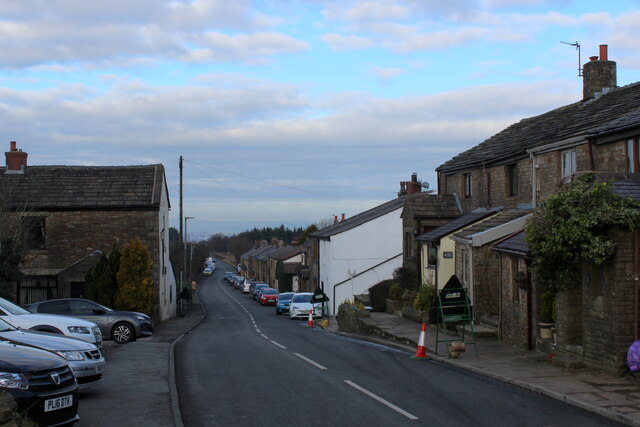
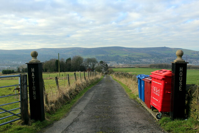
Blacksnape is a small village located in the county of Lancashire, England. Situated in the West Pennine Moors, it lies approximately 2 miles south of Darwen and 8 miles north of Bolton. The village is nestled in a picturesque setting, surrounded by rolling hills and lush green countryside, offering residents and visitors a peaceful and idyllic environment.

The history of Blacksnape dates back centuries, with evidence of human habitation in the area since the Neolithic period. The village grew in significance during the Industrial Revolution, thanks to its proximity to coal mines and the establishment of textile mills. However, the decline of these industries in the late 20th century led to a shift in the village's economy, with many residents now commuting to nearby towns and cities for employment.

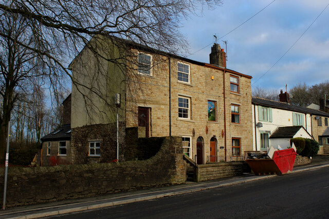
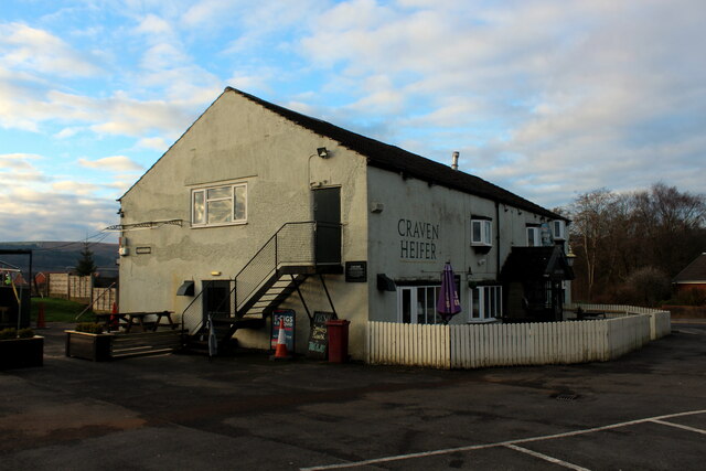
Blacksnape is a close-knit community, with a population of around 500 people. The village boasts a charming parish church, St. Peter's, which showcases architectural features from various periods. There are also a few local businesses, including a village pub and a small convenience store, catering to the daily needs of residents.

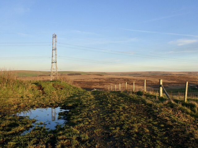
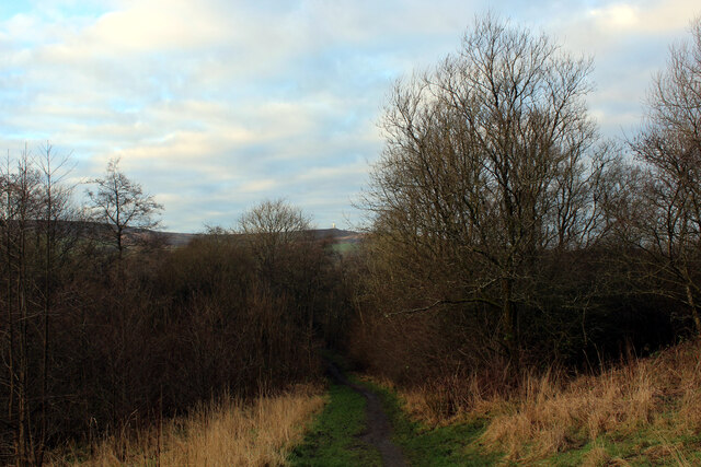
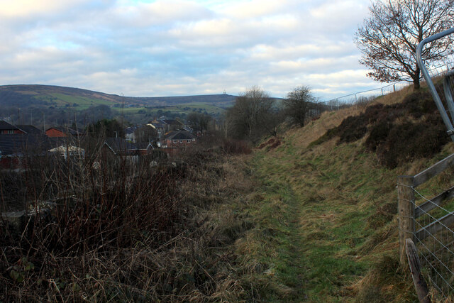
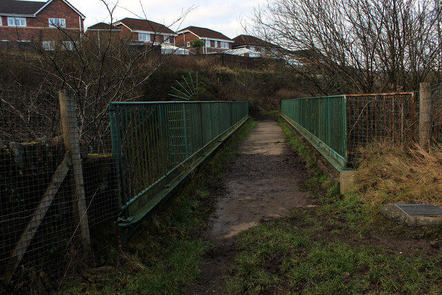
Nature enthusiasts are drawn to Blacksnape due to its scenic beauty and access to hiking trails. The village is a gateway to the West Pennine Moors, offering stunning views and opportunities for outdoor activities such as walking, cycling, and birdwatching.

In summary, Blacksnape is a tranquil village in Lancashire, characterized by its rural charm, beautiful surroundings, and a strong sense of community. It offers a peaceful retreat for those seeking a slower pace of life, while still providing convenient access to nearby urban centers.

If you have any feedback on the listing, please let us know in the comments section below.
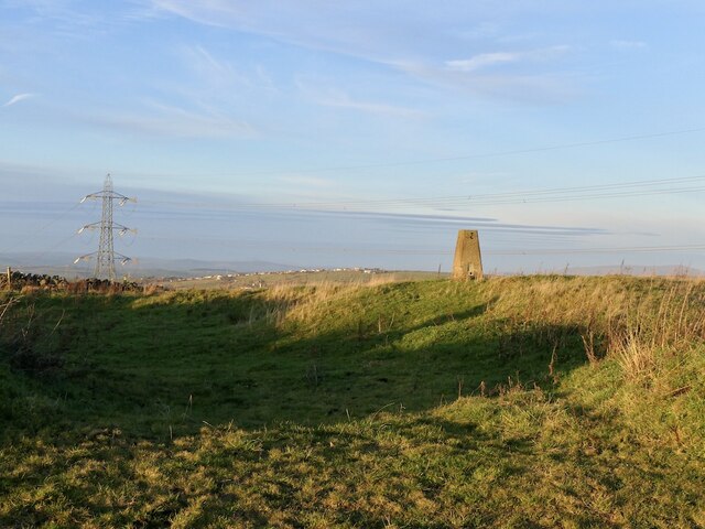
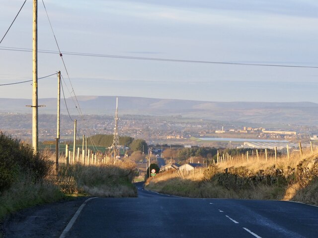
Blacksnape Images

Images are sourced within 2km of 53.690137/-2.436851 or Grid Reference SD7121. Thanks to Geograph Open Source API. All images are credited.

Rushton's Height
Rushton's Height
View towards Cuckoldmans From Rushton's Height
View towards Cuckoldmans
From Rushton's Height
Rushton's Height
Rushton's Height
Roman Road, Rushton's Height View down the predictably straight road towards Blackburn.
Roman Road, Rushton's Height
View down the predictably straight road towards Blackburn.
Housing on Pole Lane, Darwen
Entering Woodland Area from Priory Drive, Darwen Small area of woodland in Darwen, bounded by Priory Drive, Pole Lane and Sough Lane
Entering Woodland Area from Priory Drive, Darwen
Small area of woodland in Darwen, bounded by Priory Drive, Pole Lane and Sough Lane
Craven Heifer, Darwen Located on Pole Lane in Darwen.
Unusual name for a hostelry outside the Craven area, centred around Skipton in Yorkshire. It refers to a heifer that weighed over a ton and was bred in Gargrave, 1807.
Craven Heifer, Darwen
Located on Pole Lane in Darwen. Unusual name for a hostelry outside the Craven area, centred around Skipton in Yorkshire. It refers to a heifer that weighed over a ton and was bred in Gargrave, 1807.
Footpath heading for Sough, Darwen Follows the railway very closely - so closely in fact, that it is a squeeze between hedge vegetation and the rail boundary wall.
Footpath heading for Sough, Darwen
Follows the railway very closely - so closely in fact, that it is a squeeze between hedge vegetation and the rail boundary wall.
Causeway Street, Darwen
Footbridge over the Blackburn/Manchester Railway Line Crosses a deep cutting just north of the Sough Tunnel - part of the Ribble Valley Line between Manchester and Clitheroe, via Blackburn
Footbridge over the Blackburn/Manchester Railway Line
Crosses a deep cutting just north of the Sough Tunnel - part of the Ribble Valley Line between Manchester and Clitheroe, via Blackburn
Sough Tunnel North portal of the mile long Sough Tunnel - on the Ribble Valley Line between Clitheroe and Manchester, via Blackburn.
Sough Tunnel
North portal of the mile long Sough Tunnel - on the Ribble Valley Line between Clitheroe and Manchester, via Blackburn.
Footpath above the Sough Tunnel Footpath heading towards Darwen, while directly below in the bowels of the earth is the Sough Railway Tunnel
Footpath above the Sough Tunnel
Footpath heading towards Darwen, while directly below in the bowels of the earth is the Sough Railway Tunnel
Ascending towards Plantation Cottage Five public footpaths meet beside the white building ahead.
Ascending towards Plantation Cottage
Five public footpaths meet beside the white building ahead.
Ventilation Shaft above Sough Tunnel Serves the mile long Sough Railway Tunnel on the Ribble Valley Line between Manchester and Clitheroe, via Blackburn
Ventilation Shaft above Sough Tunnel
Serves the mile long Sough Railway Tunnel on the Ribble Valley Line between Manchester and Clitheroe, via Blackburn
Roman Road Long straight road upon which vehicles can attain high speeds - seen here heading towards Blacksnape
Roman Road
Long straight road upon which vehicles can attain high speeds - seen here heading towards Blacksnape
Access to Lower Aushaw Heading across rough pasture from Roman Road
Access to Lower Aushaw
Heading across rough pasture from Roman Road
Roman Road, Blacksnape
Access Drive to Hattons House Leading off Roman Road, near Darwen
Access Drive to Hattons House
Leading off Roman Road, near Darwen
Show me another place!

Blacksnape is located at Grid Ref: SD7121 (Lat: 53.690137, Lng: -2.436851)

Unitary Authority: Blackburn with Darwen

Police Authority: Lancashire

What 3 Words

///button.fend.yarn. Near Darwen, Lancashire

Nearby Locations

Blacksnape Scotland Clough

Related Wikis

Hoddlesden

Hoddlesden is a village in the borough of Blackburn with Darwen, in Lancashire, England. The village population at the 2011 census was 1,239. It is in...

Old St Paul's Church, Hoddlesden

Old St Paul's Church is a former Anglican parish church in the village of Hoddlesden, Lancashire, England. The foundation stone was laid on 27 July 1861...

St John the Evangelist's Church, Turncroft

St John the Evangelist's Church was an Anglican parish church in Turncroft, Over Darwen, Lancashire, England. It was paid for by a Mrs Graham, and designed...

Spring Vale railway station

Spring Vale railway station was a railway station that served the community of Spring Vale, in Darwen, Lancashire, England. It was opened by the Bolton...

Nearby Amenities

Located within 500m of 53.690137,-2.436851
Power: tower
Lat/Long: 53.6862382/-2.4335783
Power: tower
Lat/Long: 53.6929079/-2.4365993
Power: tower
Lat/Long: 53.6900021/-2.4345564
Power: tower
Lat/Long: 53.6867267/-2.4322707
Power: tower
Lat/Long: 53.6882876/-2.4310618
Generator Method: photovoltaic
Generator Output Electricity: yes
Generator Solar Modules: 17
Generator Source: solar
Generator Type: solar_photovoltaic_panel
Location: roof
Power: generator
Lat/Long: 53.6927429/-2.4310641
Generator Method: photovoltaic
Generator Output Electricity: yes
Generator Source: solar
Generator Type: solar_photovoltaic_panel
Location: roof
Power: generator
Lat/Long: 53.692541/-2.433091
The data included in this document is from www.openstreetmap.org. The data is made available under ODbL.

Have you been to Blacksnape?

Leave your review of Blacksnape below (or comments, questions and feedback).