Abbott Clough
Valley in Lancashire Hyndburn
England
Abbott Clough
Abbott Clough is a picturesque valley located in the county of Lancashire, in the northwest of England. Nestled within the larger region of the Ribble Valley, it is a place of natural beauty and tranquility, attracting visitors from near and far.
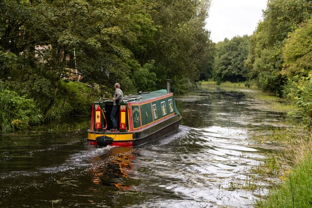
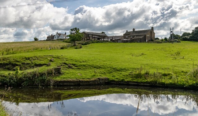
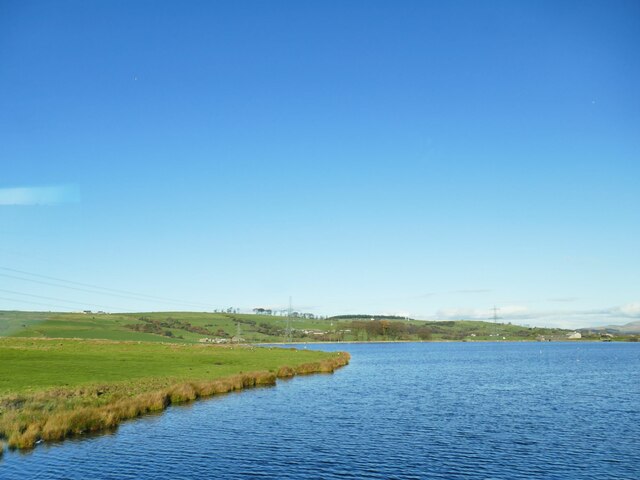
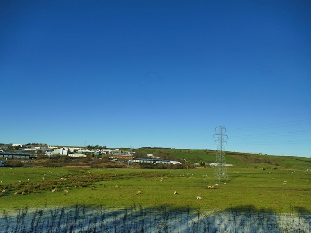
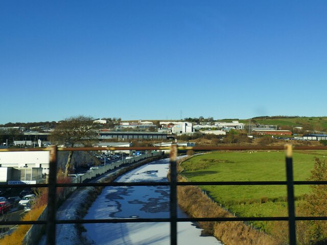
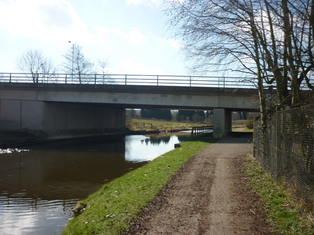
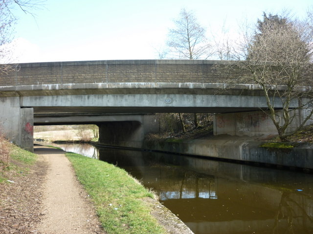
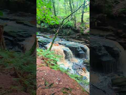
The valley is characterized by its rolling hills, lush green meadows, and the gently flowing Clough River that runs through its heart. The river is flanked by dense woodlands, adding to the area's scenic charm. The valley is also home to an abundance of wildlife, including various bird species, deer, and small mammals, making it a haven for nature enthusiasts and birdwatchers.
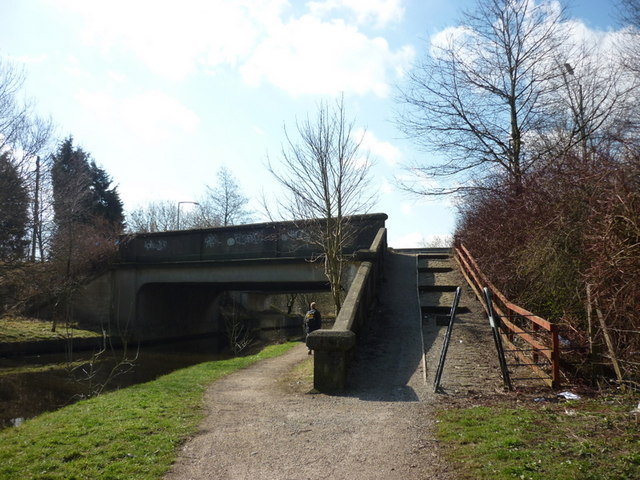
Abbott Clough offers a range of recreational activities for visitors to enjoy. The well-maintained walking trails and hiking paths allow visitors to explore the valley's natural wonders at their own pace. The area is also popular for cycling and horseback riding, with numerous trails catering to these activities.
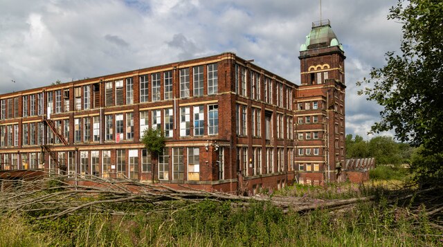
History buffs will find interest in Abbott Clough's historical significance. The valley is steeped in history, with evidence of human habitation dating back to the prehistoric era. The remains of a Roman fort can still be seen in the vicinity, offering a glimpse into the area's past.
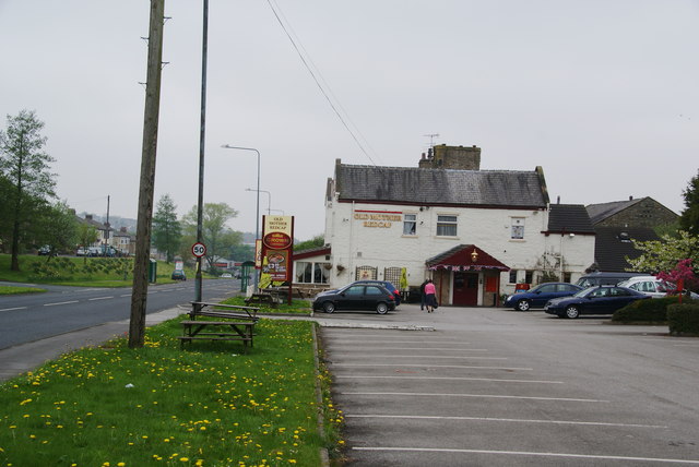
Furthermore, Abbott Clough is home to a small, close-knit community. The picturesque village of Abbott Clough itself is a charming settlement with traditional stone-built houses and a quaint village church. The residents take pride in their community, hosting local events and festivals throughout the year.
Overall, Abbott Clough, Lancashire, is a picturesque valley that offers a perfect blend of natural beauty, outdoor activities, and historical significance. Whether it's for a leisurely walk, wildlife spotting, or immersing oneself in the area's rich history, Abbott Clough is a captivating destination for both locals and tourists alike.
If you have any feedback on the listing, please let us know in the comments section below.
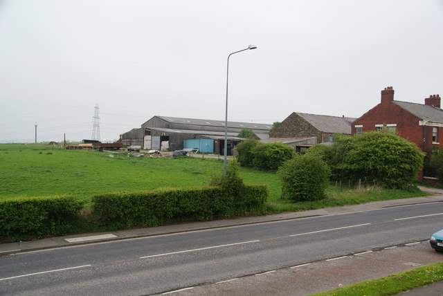
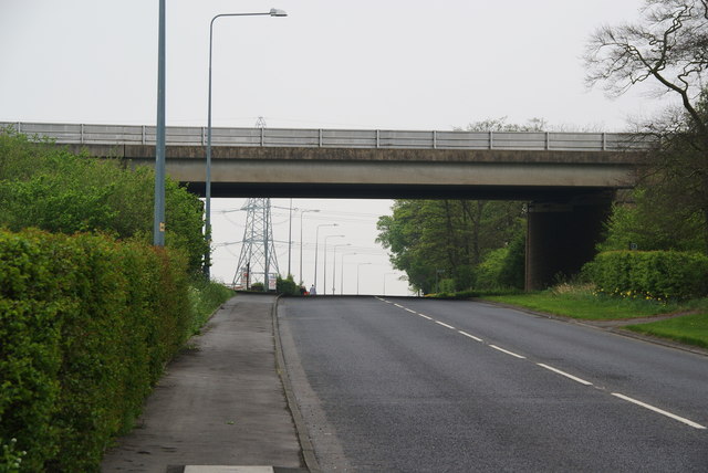
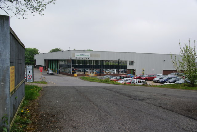
Abbott Clough Images
Images are sourced within 2km of 53.750239/-2.4408129 or Grid Reference SD7128. Thanks to Geograph Open Source API. All images are credited.


Abbott Clough is located at Grid Ref: SD7128 (Lat: 53.750239, Lng: -2.4408129)
Administrative County: Lancashire
District: Hyndburn
Police Authority: Lancashire
What 3 Words
///worm.pure.topic. Near Rishton, Lancashire
Nearby Locations
Related Wikis

Whitebirk
Whitebirk is a suburb in the east of Blackburn, in Lancashire, England. Most of the suburb is in Blackburn with Darwen, a unitary area, with the east...

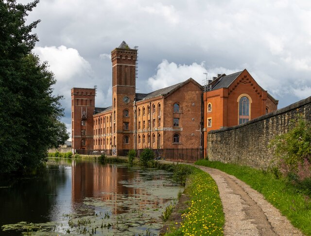
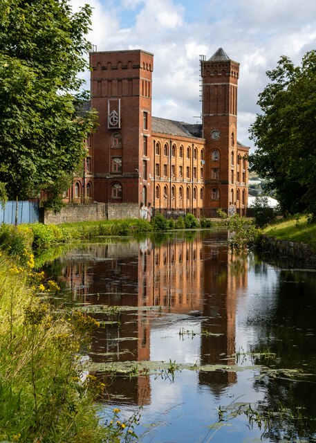
Imperial Mill, Blackburn
Imperial Mill, Blackburn is a cotton spinning mill at Wallace and Gorse Street in Greenbank, Blackburn, Lancashire, England. It was designed by P.S. Stott...
Blackburn power stations
Blackburn power stations are a series of electricity generating stations that have provided electric power to the town of Blackburn and the wider area...
Our Lady and St John Catholic College
Our Lady & St John Catholic College is a mixed 11-16 comprehensive school in Blackburn, Lancashire, England. The school was created in 1987 by the amalgamation...

Jamiatul Ilm Wal Huda
Jamiatul Ilm Wal Huda, also known as Darul Uloom Blackburn, is an 11–25 private, Islamic, boarding and day school for boys in Blackburn, Lancashire, England...
St Thomas' Church, Blackburn
St Thomas' Church was an Anglican parish church in Blackburn, Lancashire, England. The church was situated on the eastern side of Lambeth Street, between...

Little Harwood
Little Harwood is a suburb of Blackburn in Lancashire, England, situated at the northern edge of the town. == Use of land == Located within the ward are...

Jaame Masjid, Blackburn
Jaame Masjid, also known as the Jaame Masjid Islamic Cultural Centre is a mosque in Blackburn, Lancashire, England. It was established from a house in...
Related Videos
Morning Stroll Walking Off This Cold & Stretching Out A Pulled Muscle
Morning Stroll Walking Off This Cold & Stretching Out A Pulled Muscle 🏞️ #walking #nature #walk #hiking #photography ...

Sunday Morning Walk 01-10-2023
Sunday Morning Walk 01-10-2023 #morningwalk #nature #morning #sunrise #morningvibes #naturephotography #photography ...

Hashim Travel Hajj 2019
Alhamdulillah the group have completed their Umrah.
Nearby Amenities
Located within 500m of 53.750239,-2.4408129Have you been to Abbott Clough?
Leave your review of Abbott Clough below (or comments, questions and feedback).