Cowhill Moss

Downs, Moorland in Lancashire Hyndburn

England

Cowhill Moss

Church of St. Peter & St. Paul, Rishton
Church of St. Peter & St. Paul, Rishton Credit: Nigel Thompson

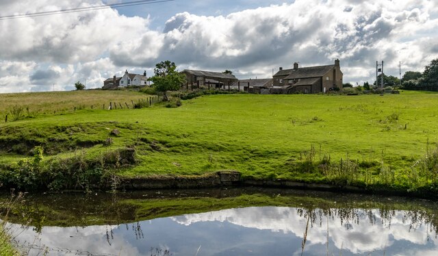
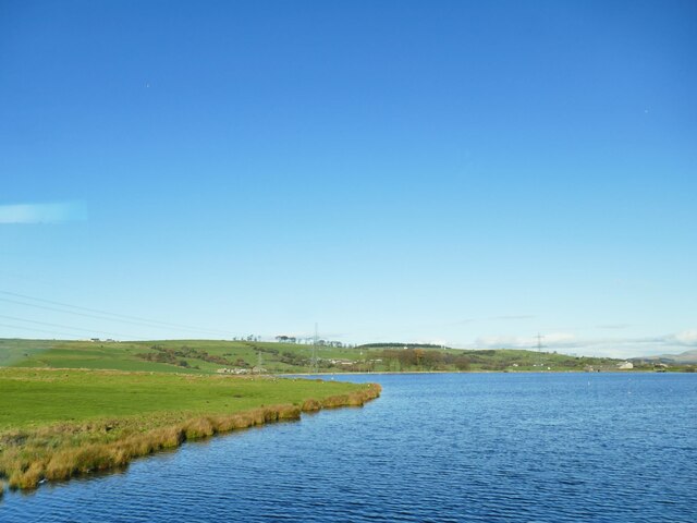
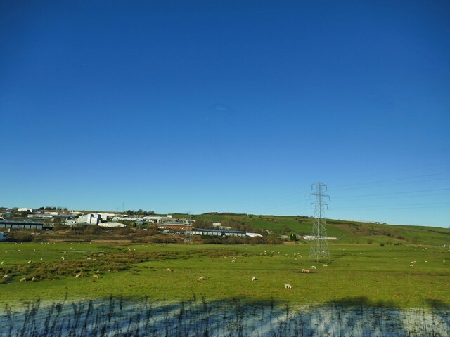
Cowhill Moss is a vast expanse of moorland located in Lancashire, England. Situated near the village of Cowhill, it covers an area of approximately 500 acres and is surrounded by picturesque hills and valleys. The moss is known for its diverse and unique ecosystem, making it a popular destination for nature enthusiasts and wildlife photographers.

The landscape of Cowhill Moss is characterized by rolling hills and heather-covered moorland. The area is home to a variety of plant species, including cotton grass, bilberry, and heath milkwort. These plants thrive in the acidic and nutrient-poor soil that is typical of mosses.

The moss also serves as an important habitat for a range of animal species. Visitors to Cowhill Moss may spot birds such as curlews, lapwings, and red grouse. The moorland is also home to small mammals like voles and shrews, as well as reptiles like common lizards and adders.

The open landscape of Cowhill Moss allows for stunning views in all directions. On a clear day, visitors can enjoy panoramic vistas of the surrounding hills and valleys. The area is crisscrossed by footpaths and trails, making it an ideal location for hiking and walking.

Cowhill Moss is protected as a Site of Special Scientific Interest (SSSI) due to its ecological significance. The moss is carefully managed to conserve its unique habitat and biodiversity. Visitors are encouraged to respect the fragile ecosystem and follow any guidelines provided to ensure the long-term preservation of this beautiful moorland.

If you have any feedback on the listing, please let us know in the comments section below.

Cowhill Moss Images

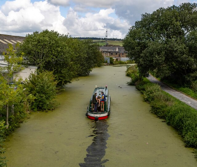
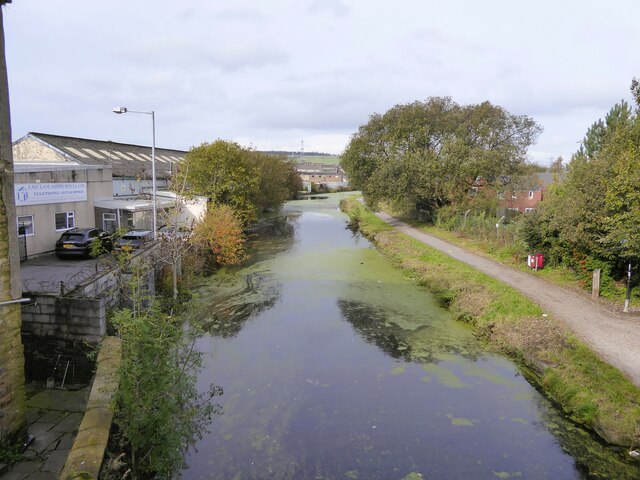
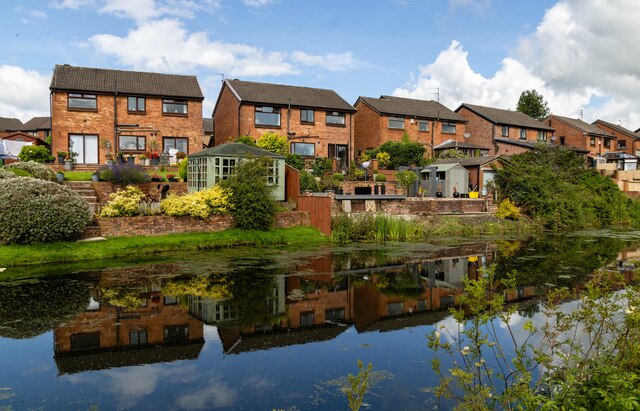
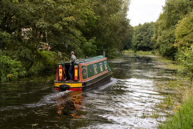
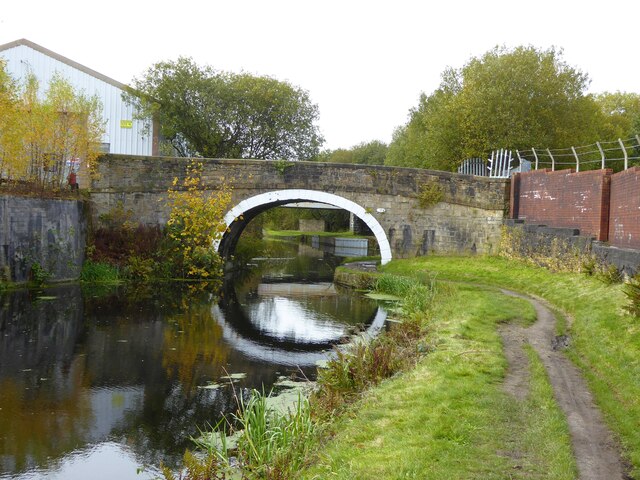
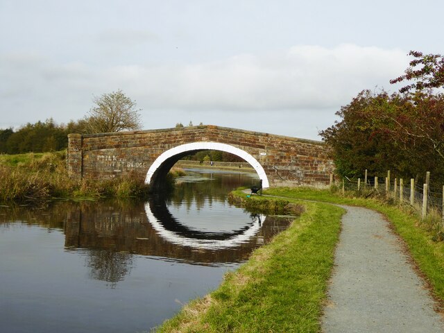
Images are sourced within 2km of 53.753344/-2.4272265 or Grid Reference SD7128. Thanks to Geograph Open Source API. All images are credited.

Church of St. Peter & St. Paul, Rishton
Leeds & Liverpool Canal The Leeds and Liverpool Canal is the longest canal in Northern England at 127 miles long. The first of the trans-Pennine canals it took 46 years to build at a cost of five times the original budget, mainly because of the length and complexity of the route. It passes through 91 locks with a summit level of 487 feet at Foulridge near Nelson and Colne. It was originally conceived in the 18th century to carry woollen goods from Leeds and Bradford and limestone from Skipton but in its 19th century heyday it carried stone, coal and many other goods. The impact of the railways was not as great as with other canals and commercial traffic continued along the main canal until 1964. Regular work stopped in 1972 when the movement of coal to Wigan Power Station ceased. In the latter part of the 20th century the leisure potential of the canal was developed and it is now a popular destination for cruising, fishing, walking and cycling. See <span class="nowrap"><a title="http://www.penninewaterways.co.uk/ll/index.htm" rel="nofollow ugc noopener" href="http://www.penninewaterways.co.uk/ll/index.htm">Link</a><img style="margin-left:2px;" alt="External link" title="External link - shift click to open in new window" src="https://s1.geograph.org.uk/img/external.png" width="10" height="10"/></span> for detailed information.
Leeds & Liverpool Canal
The Leeds and Liverpool Canal is the longest canal in Northern England at 127 miles long. The first of the trans-Pennine canals it took 46 years to build at a cost of five times the original budget, mainly because of the length and complexity of the route. It passes through 91 locks with a summit level of 487 feet at Foulridge near Nelson and Colne. It was originally conceived in the 18th century to carry woollen goods from Leeds and Bradford and limestone from Skipton but in its 19th century heyday it carried stone, coal and many other goods. The impact of the railways was not as great as with other canals and commercial traffic continued along the main canal until 1964. Regular work stopped in 1972 when the movement of coal to Wigan Power Station ceased. In the latter part of the 20th century the leisure potential of the canal was developed and it is now a popular destination for cruising, fishing, walking and cycling. See LinkExternal link for detailed information.
Leeds and Liverpool Canal View from the bridge on Hermitage Street
Leeds and Liverpool Canal
View from the bridge on Hermitage Street
Rishton railway station, Lancashire Opened in 1853 by the East Lancashire Railway, later part of the Lancashire & Yorkshire Railway, on the line from Blackburn to Burnley. There may have also been a station open here for a few months in 1848.
View east, towards Church & Oswaldtwistle and Accrington. The station building and goods shed were formerly on the platform to the left and unusually, a goods siding ran where the houses on the far left now are, meaning that the footbridge was longer as it had to cross that as well. 
New waiting shelters have been provided since <a href="https://www.geograph.org.uk/photo/3204566">SD7229 : Rishton railway station, Lancashire</a> was taken on the left-hand platform.
Rishton railway station, Lancashire
Opened in 1853 by the East Lancashire Railway, later part of the Lancashire & Yorkshire Railway, on the line from Blackburn to Burnley. There may have also been a station open here for a few months in 1848. View east, towards Church & Oswaldtwistle and Accrington. The station building and goods shed were formerly on the platform to the left and unusually, a goods siding ran where the houses on the far left now are, meaning that the footbridge was longer as it had to cross that as well. New waiting shelters have been provided since SD7229 : Rishton railway station, Lancashire was taken on the left-hand platform.
Rishton Petre Crescent in Rishton, seen from the Leeds & Liverpool Canal.
Rishton
Petre Crescent in Rishton, seen from the Leeds & Liverpool Canal.
Leeds & Liverpool Canal The Leeds & Liverpool Canal at Whitebirk.
Leeds & Liverpool Canal
The Leeds & Liverpool Canal at Whitebirk.
Whitebirk Moss Farm Whitebirk Moss Farm alongside the Leeds & Liverpool Canal.
Whitebirk Moss Farm
Whitebirk Moss Farm alongside the Leeds & Liverpool Canal.
Imperial Mill Imperial Mill seen from the Leeds & Liverpool Canal.

See also <a href="https://www.geograph.org.uk/photo/7558847">SD7028 : Imperial Mill</a> and <a href="https://www.geograph.org.uk/photo/7558832">SD6928 : Imperial Mill</a>.
Imperial Mill
Imperial Mill seen from the Leeds & Liverpool Canal. See also SD7028 : Imperial Mill and SD6928 : Imperial Mill.
Imperial Mill Imperial Mill seen from the Leeds & Liverpool Canal.

See also <a href="https://www.geograph.org.uk/photo/7558843">SD7028 : Imperial Mill</a> and <a href="https://www.geograph.org.uk/photo/7558832">SD6928 : Imperial Mill</a>.
Imperial Mill
Imperial Mill seen from the Leeds & Liverpool Canal. See also SD7028 : Imperial Mill and SD6928 : Imperial Mill.
Aspen Colliery Remains of the coke ovens at the Aspen Colliery.
Aspen Colliery
Remains of the coke ovens at the Aspen Colliery.
Foxhill Bank Bridge No.111 Across the Leeds and Liverpool Canal and appearing to be sealed off and unused
Foxhill Bank Bridge No.111
Across the Leeds and Liverpool Canal and appearing to be sealed off and unused
New Barn Bridge No.109 Across the Leeds and Liverpool Canal
New Barn Bridge No.109
Across the Leeds and Liverpool Canal
Leeds and Liverpool Canal south of Rishton Viewed from the railway, on a frosty morning. For a similar view from towpath level, see <a href="https://www.geograph.org.uk/photo/5786541">SD7328 : Towpath along the Leeds and Liverpool Canal</a>.
Leeds and Liverpool Canal south of Rishton
Viewed from the railway, on a frosty morning. For a similar view from towpath level, see SD7328 : Towpath along the Leeds and Liverpool Canal.
Canal bridge south of Rishton In the centre is New Barn Bridge <a href="https://www.geograph.org.uk/photo/7636037">SD7329 : New Barn Bridge No.109</a>. Nearer and to the right is a localised widening of the canal, which is shown on maps from over 100 years ago, but with no obvious purpose - it's not near any lock or wharf. In the distance, 14km away, is Pendle.
Canal bridge south of Rishton
In the centre is New Barn Bridge SD7329 : New Barn Bridge No.109. Nearer and to the right is a localised widening of the canal, which is shown on maps from over 100 years ago, but with no obvious purpose - it's not near any lock or wharf. In the distance, 14km away, is Pendle.
Rishton Reservoir The reservoir serves the Leeds and Liverpool canal, and was built in 1828. Compare this early winter view of a full reservoir, with a spring one when it was drawn down <a href="https://www.geograph.org.uk/photo/3414218">SD7129 : Rishton Reservoir</a>.
Rishton Reservoir
The reservoir serves the Leeds and Liverpool canal, and was built in 1828. Compare this early winter view of a full reservoir, with a spring one when it was drawn down SD7129 : Rishton Reservoir.
Field east of the canal at Whitebirk The Leeds and Liverpool canal passes in front of the buildings in the distance, and at this point acts as the boundary between Blackburn unitary authority in which the buildings lie, and Lancashire county this side.
Field east of the canal at Whitebirk
The Leeds and Liverpool canal passes in front of the buildings in the distance, and at this point acts as the boundary between Blackburn unitary authority in which the buildings lie, and Lancashire county this side.
Leeds and Liverpool Canal near Trident Way The canal was partly frozen. For a similar view from towpath level, see <a href="https://www.geograph.org.uk/photo/4435100">SD7029 : A View Along The Canal</a>.
Leeds and Liverpool Canal near Trident Way
The canal was partly frozen. For a similar view from towpath level, see SD7029 : A View Along The Canal.
Imperial Mill Imperial Mill seen from the Leeds & Liverpool Canal.

See also <a href="https://www.geograph.org.uk/photo/7558843">SD7028 : Imperial Mill</a> and <a href="https://www.geograph.org.uk/photo/7558847">SD7028 : Imperial Mill</a>.
Imperial Mill
Imperial Mill seen from the Leeds & Liverpool Canal. See also SD7028 : Imperial Mill and SD7028 : Imperial Mill.
Show me another place!

Cowhill Moss is located at Grid Ref: SD7128 (Lat: 53.753344, Lng: -2.4272265)

Administrative County: Lancashire

District: Hyndburn

Police Authority: Lancashire

What 3 Words

///tubes.whites.roofs. Near Rishton, Lancashire

Nearby Locations

Abbott Clough Cowhill Moss

Related Wikis

Rishton railway station

Rishton railway station is in the southern part of the town of Rishton, Lancashire, England. The station is on the East Lancashire Line, operated by Northern...

Whitebirk

Whitebirk is a suburb in the east of Blackburn, in Lancashire, England. Most of the suburb is in Blackburn with Darwen, a unitary area, with the east...

Blackburn power stations

Blackburn power stations are a series of electricity generating stations that have provided electric power to the town of Blackburn and the wider area...

Aspden

Aspden is the historic name of a valley a mile west of Church and a mile north of Oswaldtwistle, between Accrington and Blackburn, in Lancashire, England...

Nearby Amenities

Located within 500m of 53.753344,-2.4272265
Motorway Junction
Whitebirk Roundabout
Ref: 6
Lat/Long: 53.7512564/-2.4311437
Power: tower
Source: OS 1:25k
Lat/Long: 53.7533442/-2.4295604
Power: tower
Source: OS 1:25k
Lat/Long: 53.7516599/-2.4230866
Power: tower
Lat/Long: 53.7539252/-2.433558
Power: tower
Lat/Long: 53.7512279/-2.4239814
Power: tower
Lat/Long: 53.7526882/-2.4291162
Power: tower
Lat/Long: 53.7525268/-2.4264383
Power: tower
Lat/Long: 53.7547054/-2.4324273
Phone
Emergency: phone
Indoor: no
Operator: National Highways
Operator Type: government
Operator Wikidata: Q5760006
Ref: 4196 A
Lat/Long: 53.7528001/-2.4326757
Phone
Emergency: phone
Indoor: no
Operator: National Highways
Operator Type: government
Operator Wikidata: Q5760006
Ref: 4196 B
Lat/Long: 53.7529293/-2.43225
Phone
Emergency: phone
Indoor: no
Operator: National Highways
Operator Type: government
Operator Wikidata: Q5760006
Ref: 4196 J
Lat/Long: 53.7527214/-2.4329131
Phone
Emergency: phone
Indoor: no
Operator: National Highways
Operator Type: government
Operator Wikidata: Q5760006
Ref: 4196 M
Lat/Long: 53.7531271/-2.4315175
The data included in this document is from www.openstreetmap.org. The data is made available under ODbL.

Have you been to Cowhill Moss?

Leave your review of Cowhill Moss below (or comments, questions and feedback).