Mill Bottoms
Valley in Cheshire
England
Mill Bottoms
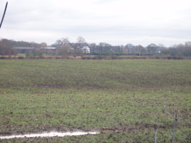
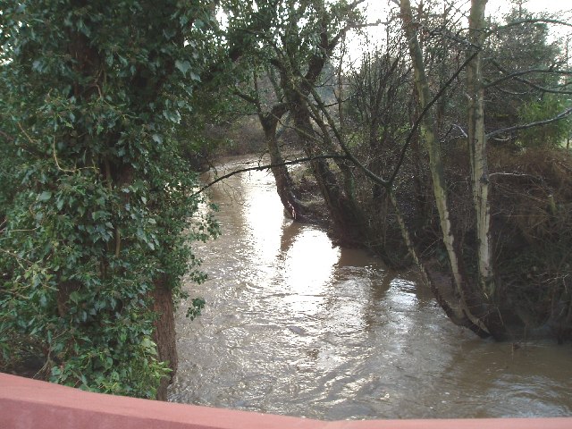
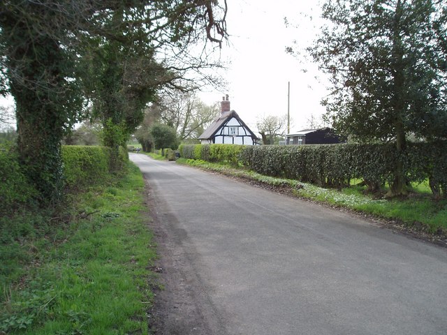
Mill Bottoms is a picturesque village located in the county of Cheshire, England. Nestled in a charming valley, it is known for its stunning natural beauty and rich history. The village is situated near the River Dane, which adds to its scenic appeal.
The name "Mill Bottoms" is derived from the presence of several historic mills that were once the backbone of the local economy. These mills were primarily used for grinding corn and producing textiles. Although these mills are no longer operational, their remnants can still be seen, adding a touch of nostalgia to the village.
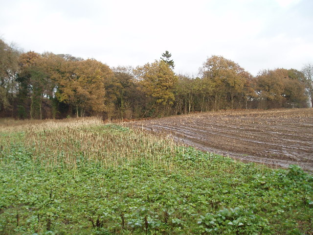
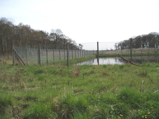
The landscape surrounding Mill Bottoms is characterized by rolling hills, lush green meadows, and meandering streams. It is a haven for nature lovers and offers ample opportunities for outdoor activities such as hiking, cycling, and fishing. The area is also home to a diverse range of flora and fauna, making it a popular destination for wildlife enthusiasts.
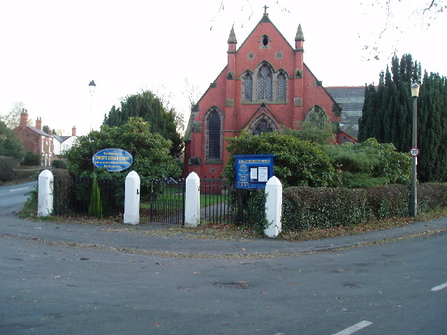
The village itself is quaint and charming, with a small population that values its close-knit community. It boasts a few local shops, a village hall, and a picturesque church, adding to its traditional English village ambiance. The residents of Mill Bottoms take pride in preserving the village's heritage and maintaining its unique character.
Overall, Mill Bottoms is a hidden gem in Cheshire, offering a serene and idyllic retreat from the bustling city life. With its natural beauty and rich history, it is a destination that captivates visitors and leaves a lasting impression.
If you have any feedback on the listing, please let us know in the comments section below.
Mill Bottoms Images
Images are sourced within 2km of 53.276321/-2.436129 or Grid Reference SJ7175. Thanks to Geograph Open Source API. All images are credited.


Mill Bottoms is located at Grid Ref: SJ7175 (Lat: 53.276321, Lng: -2.436129)
Unitary Authority: Cheshire East
Police Authority: Cheshire
What 3 Words
///tungsten.situates.shippers. Near Marston, Cheshire
Nearby Locations
Related Wikis

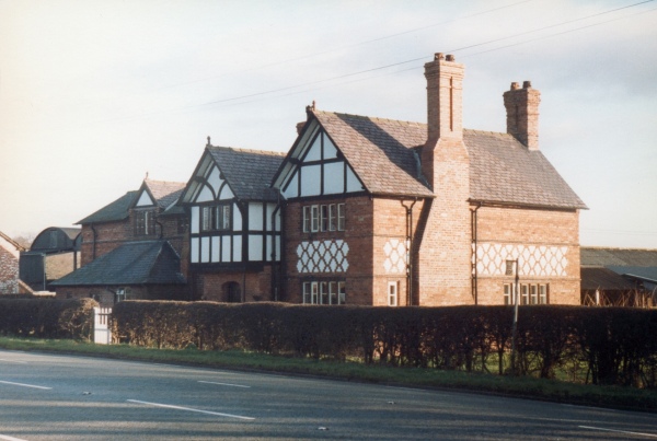
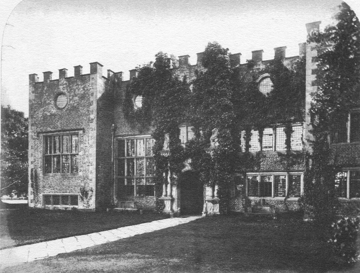
Holford Hall
Holford Hall is a country house west of the village of Plumley, Cheshire, England. It consists of a fragment of a much larger timber-framed house, built...
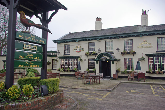
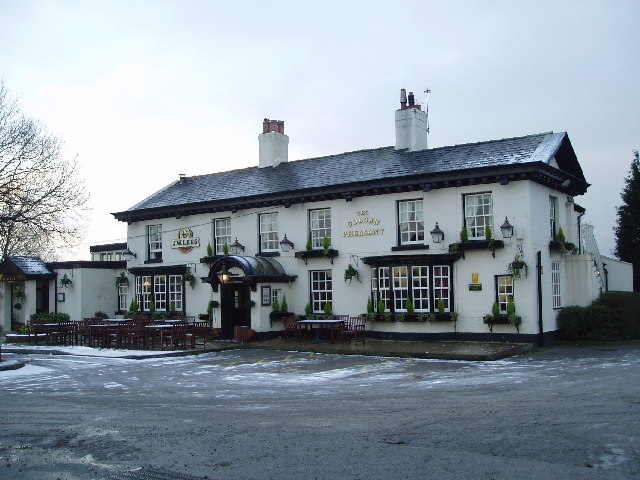
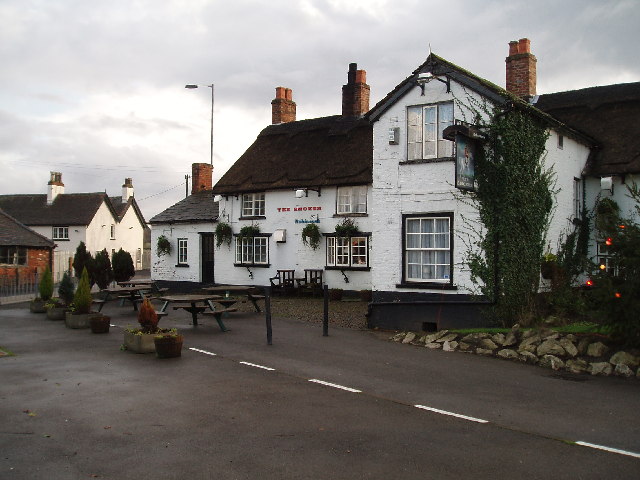
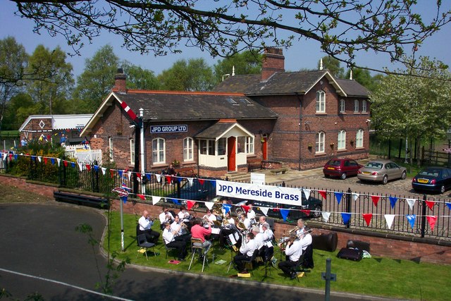
Plumley
Plumley is a village and civil parish in Cheshire, England, with a population of 643 at the 2011 census.There are two public houses, The Golden Pheasant...

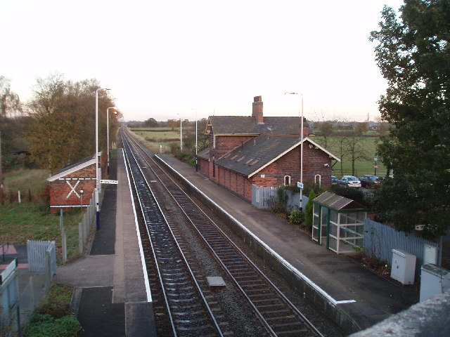
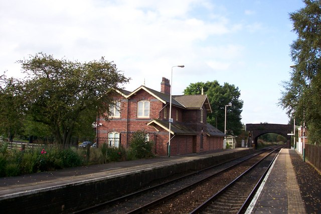
Plumley railway station
Plumley railway station serves the village of Plumley in Cheshire, England. The station is 20½ miles (33 km) east of Chester on the Mid-Cheshire Line to...
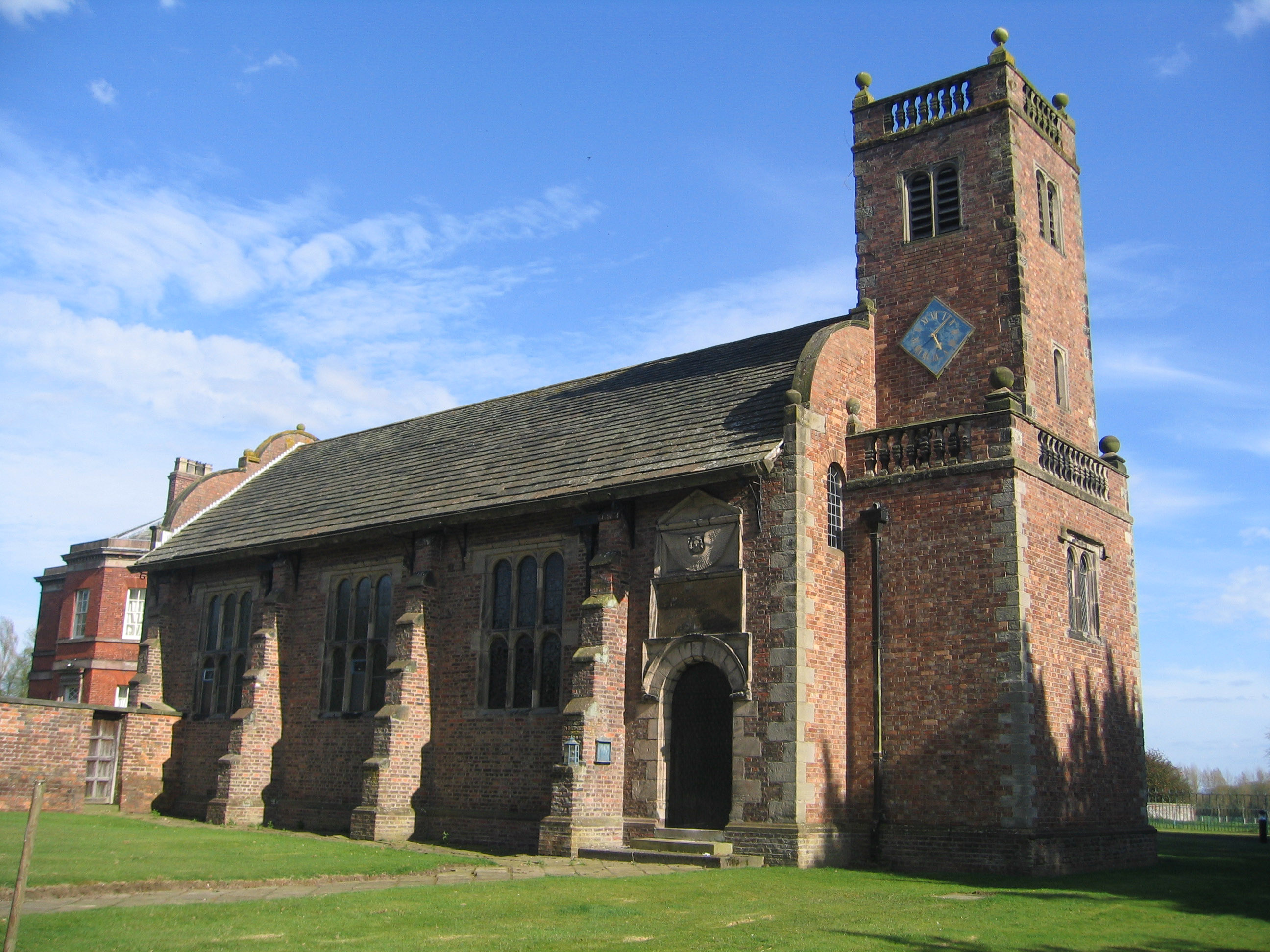
Tabley Old Hall
The ruin of Tabley Old Hall (more properly known as Nether Tabley Old Hall) is on an island surrounded by a moat in the civil parish of Tabley Inferior...
Tabley Inferior
Tabley Inferior is a civil parish in the Borough of Cheshire East and ceremonial county of Cheshire in England. It has a population of 137. Tabley House...

Lostock Gralam railway station
Lostock Gralam railway station serves the village of Lostock Gralam in Cheshire, England. The station is on the Mid-Cheshire Line from Chester to Manchester...

Pickmere
Pickmere is a village and civil parish near Knutsford in the Borough of Cheshire East. It has a population of 541 (2001 Census). Landmarks in and around...

Cuckooland Museum
The Cuckooland Museum, previously known as the Cuckoo Clock Museum, is a museum that exhibits mainly cuckoo clocks, located in Tabley, Cheshire, England...
Nearby Amenities
Located within 500m of 53.276321,-2.436129Have you been to Mill Bottoms?
Leave your review of Mill Bottoms below (or comments, questions and feedback).