Annas Clough
Valley in Yorkshire Ribble Valley
England
Annas Clough
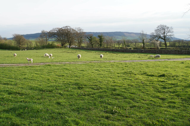
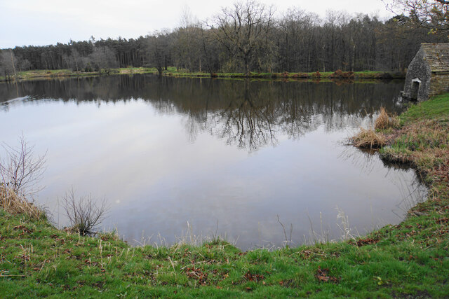
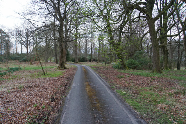
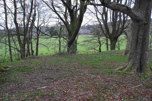
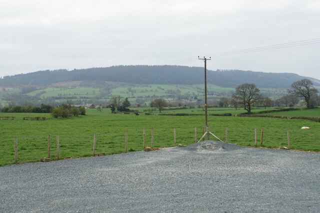
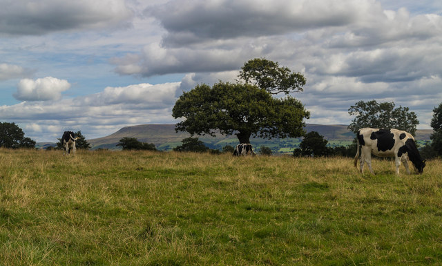
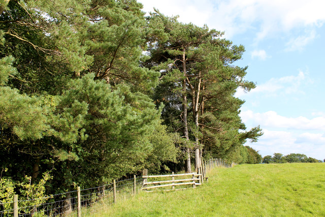
Anna's Clough is a picturesque valley located in the county of Yorkshire, England. Nestled amidst the rolling hills, this tranquil and idyllic destination offers visitors a serene escape from the hustle and bustle of city life. The valley is renowned for its natural beauty, with lush greenery, meandering streams, and an abundance of wildlife.
The valley is named after Anna, a local landowner who once resided in the area. It is a popular spot for nature enthusiasts, hikers, and birdwatchers, as it provides a habitat for a diverse range of flora and fauna. The valley is home to several rare species of plants and animals, making it a designated area of conservation.
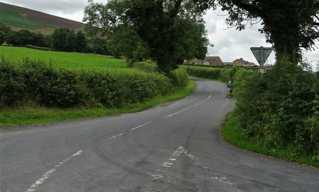
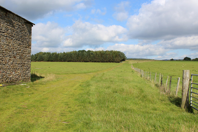
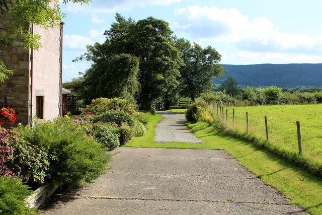
Visitors to Annas Clough can explore the numerous walking trails that wind through the valley, offering stunning views of the surrounding countryside. The trails vary in difficulty, catering to both leisurely strolls and more challenging hikes. Along the way, visitors may encounter babbling brooks, charming wooden bridges, and ancient stone walls, adding to the enchanting atmosphere of the valley.
For those seeking adventure, Annas Clough offers opportunities for rock climbing and mountain biking. The valley's rugged terrain and natural rock formations provide an ideal setting for these activities. Additionally, fishing enthusiasts can enjoy angling in the streams that flow through the valley, which are known for their abundance of trout and salmon.
In conclusion, Annas Clough is a hidden gem in Yorkshire, boasting stunning natural beauty and a myriad of outdoor activities. Whether visitors seek solace in nature, embark on an adventure, or simply wish to soak in the tranquility, this valley offers a truly memorable experience.
If you have any feedback on the listing, please let us know in the comments section below.
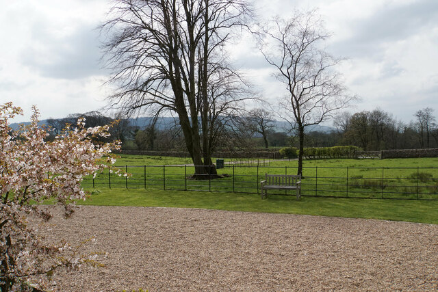
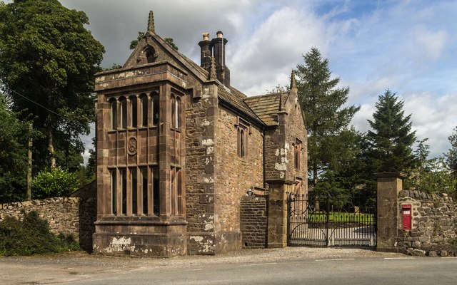
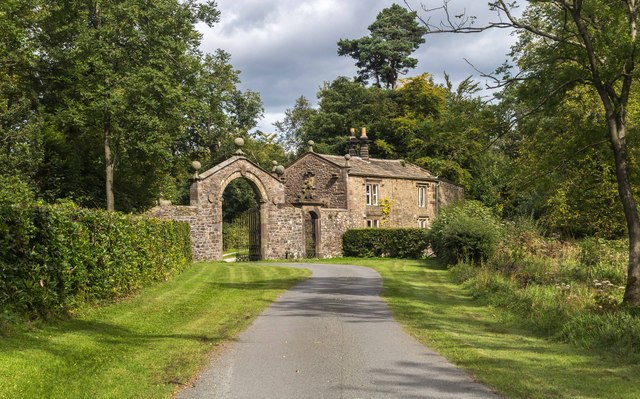
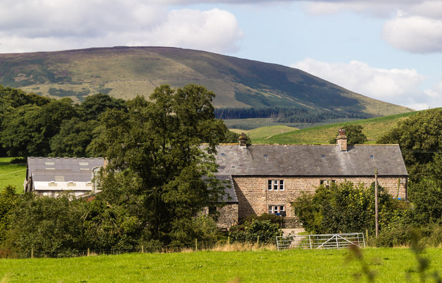
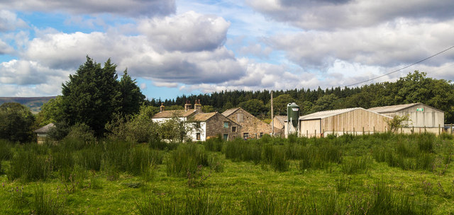
Annas Clough Images
Images are sourced within 2km of 53.885314/-2.4930468 or Grid Reference SD6743. Thanks to Geograph Open Source API. All images are credited.
Annas Clough is located at Grid Ref: SD6743 (Lat: 53.885314, Lng: -2.4930468)
Division: West Riding
Administrative County: Lancashire
District: Ribble Valley
Police Authority: Lancashire
What 3 Words
///liver.operating.width. Near Waddington, Lancashire
Nearby Locations
Related Wikis

Higher Lees Farmhouse
Higher Lees Farmhouse is an historic building in the English parish of Bowland Forest Low, Lancashire. It is Grade II listed, built around 1780, and is...

Bashall Eaves
Bashall Eaves is a village and civil parish in the Ribble Valley district of Lancashire, England, about four miles (6 km) west of Clitheroe. The placename...

Browsholme Hall
Browsholme Hall is a privately owned Tudor house in the parish of Bowland Forest Low in the borough of Ribble Valley, Lancashire (although historically...

Cow Ark Farmhouse
Cow Ark Farmhouse is a historic building in the English parish of Bowland Forest Low, Lancashire. It is Grade II listed, built around 1780, and is a sandstone...

Lower Lees Farmhouse
Lower Lees Farmhouse is a historic building in the English parish of Bowland Forest Low, Lancashire. It is Grade II listed, built in 1678, and is a sandstone...

River Loud
The River Loud is a river of Lancashire, England. Starting out on Parlick, the Loud meanders mainly through the parish of Chipping, tracing its course...

Bowland Forest Low
Bowland Forest Low is a civil parish in the Ribble Valley district of Lancashire, England, covering some 5,500 acres (22 km2) of the Forest of Bowland...

Longridge Fell
Longridge Fell is the most southerly fell in England, near the town of Longridge, Lancashire. It lies at the southern end of the Forest of Bowland Area...
Related Videos

Micro-Lodge | The Woodland Glade | Browsholme Hall and Tithe Barn
For anyone new to our channel, we're Gem and Ant and we are Disney geeks. We mainly vlog our trips to the Disney Parks and ...

Browsholme Hall Wedding Video
A beautiful wedding film shot at Browsholme Hall and Tithe Barn, Lancashire.
Sabden race series 1st edition . Here come thunder
Raced on a classic sabden trail with a stacked 8 man field . Racing was fierce and action packed . Jonny Oddy with the win Owen ...
Protecting Browsholme Hall | Historic England
Browsholme Hall is a Grade I listed Tudor house in the Forest of Bowland. It's claimed to be the oldest surviving family home in ...
Nearby Amenities
Located within 500m of 53.885314,-2.4930468Have you been to Annas Clough?
Leave your review of Annas Clough below (or comments, questions and feedback).