Hollins Brow Wood
Wood, Forest in Yorkshire Ribble Valley
England
Hollins Brow Wood
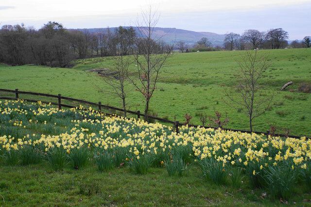
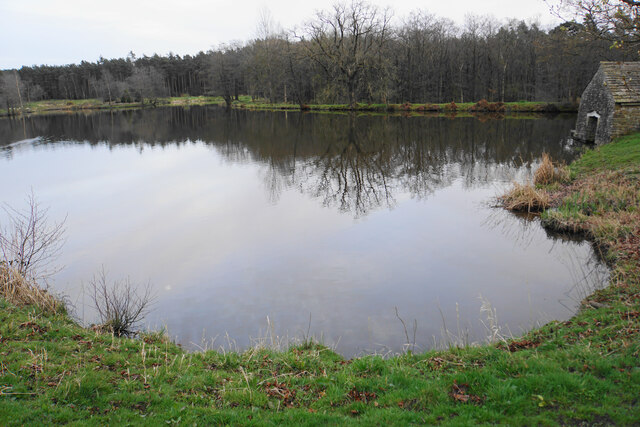
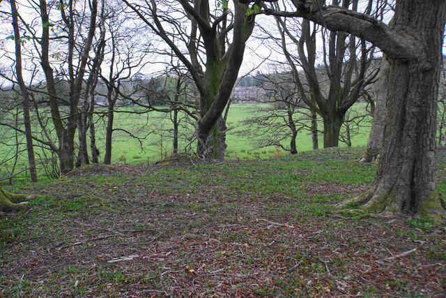
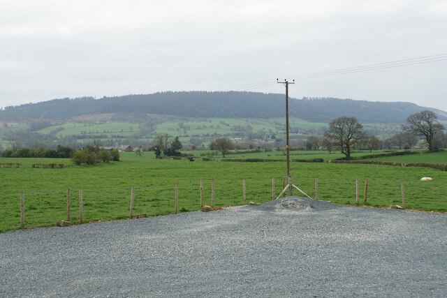
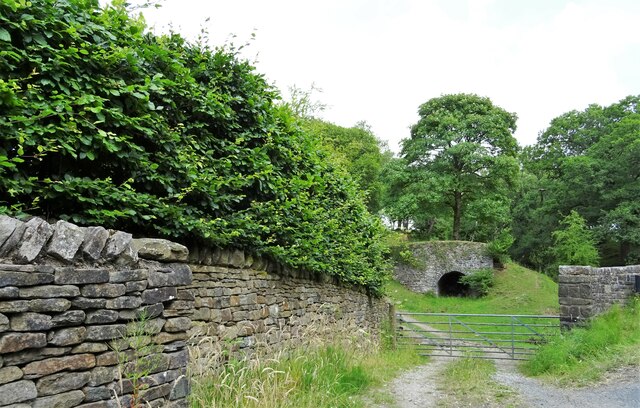
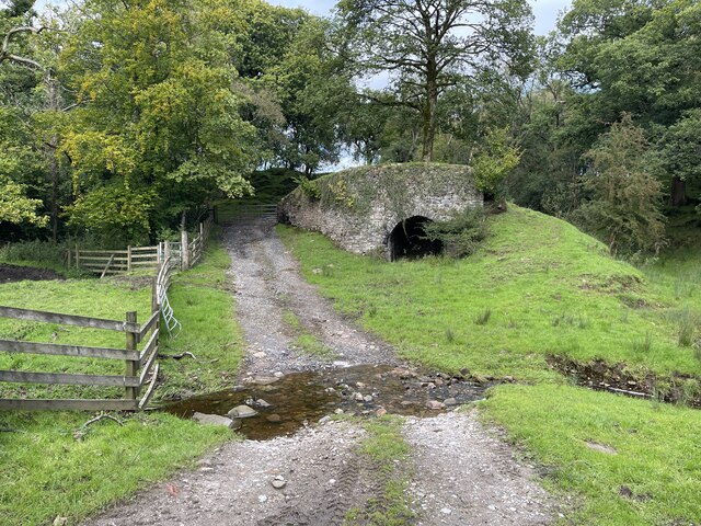
Hollins Brow Wood is a charming woodland located in Yorkshire, England. Nestled in the heart of the county, this forested area spans approximately 50 acres and boasts a diverse range of flora and fauna. It is well-known for its picturesque beauty and tranquil atmosphere, attracting nature enthusiasts and hikers alike.
The woodland is primarily composed of deciduous trees, such as oak, beech, and birch, which create a vibrant and ever-changing landscape throughout the seasons. Visitors can expect to be greeted by a lush carpet of bluebells in the spring, followed by a canopy of green leaves in the summer, and a mesmerizing display of autumn colors in the fall.
As one explores the wood, they may come across a variety of wildlife species. From squirrels and rabbits to birds of prey and even deer, the area provides a habitat for a diverse range of creatures. Birdwatchers especially enjoy their time here, as they may spot species such as robins, blue tits, and woodpeckers among the treetops.
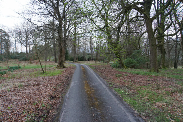
Hollins Brow Wood offers several walking trails, ranging from easy strolls to more challenging hikes. These paths wind through the forest, providing visitors with an opportunity to immerse themselves in the natural beauty of the surroundings. Along the way, there are numerous benches and picnic spots, allowing visitors to take a break and enjoy the peaceful ambiance.
Overall, Hollins Brow Wood is a true gem in Yorkshire. With its enchanting beauty, rich biodiversity, and peaceful atmosphere, it provides a wonderful escape from the hustle and bustle of everyday life.
If you have any feedback on the listing, please let us know in the comments section below.
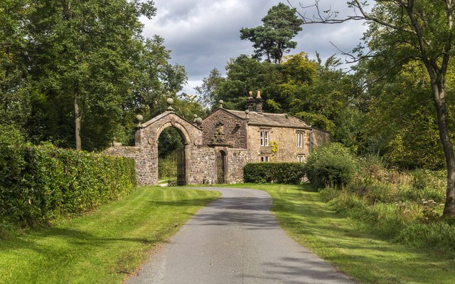
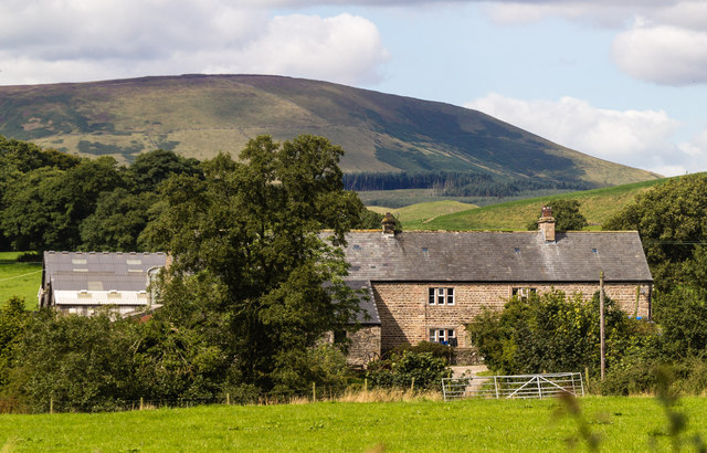
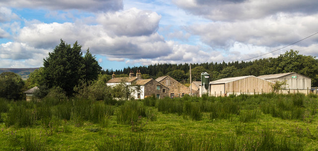
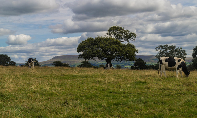
Hollins Brow Wood Images
Images are sourced within 2km of 53.886866/-2.4893529 or Grid Reference SD6743. Thanks to Geograph Open Source API. All images are credited.
Hollins Brow Wood is located at Grid Ref: SD6743 (Lat: 53.886866, Lng: -2.4893529)
Division: West Riding
Administrative County: Lancashire
District: Ribble Valley
Police Authority: Lancashire
What 3 Words
///crucially.mouths.ants. Near Waddington, Lancashire
Nearby Locations
Related Wikis

Bashall Eaves
Bashall Eaves is a village and civil parish in the Ribble Valley district of Lancashire, England, about four miles (6 km) west of Clitheroe. The placename...

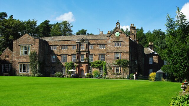
Browsholme Hall
Browsholme Hall is a privately owned Tudor house in the parish of Bowland Forest Low in the borough of Ribble Valley, Lancashire (although historically...

Cow Ark Farmhouse
Cow Ark Farmhouse is a historic building in the English parish of Bowland Forest Low, Lancashire. It is Grade II listed, built around 1780, and is a sandstone...

Higher Lees Farmhouse
Higher Lees Farmhouse is an historic building in the English parish of Bowland Forest Low, Lancashire. It is Grade II listed, built around 1780, and is...

Bowland Forest Low
Bowland Forest Low is a civil parish in the Ribble Valley district of Lancashire, England, covering some 5,500 acres (22 km2) of the Forest of Bowland...

Lower Lees Farmhouse
Lower Lees Farmhouse is a historic building in the English parish of Bowland Forest Low, Lancashire. It is Grade II listed, built in 1678, and is a sandstone...

Bowland Rural District
Bowland was a rural district in the West Riding of Yorkshire from 1894 to 1974. It was named after the Forest of Bowland, which it included. It was formed...

River Loud
The River Loud is a river of Lancashire, England. Starting out on Parlick, the Loud meanders mainly through the parish of Chipping, tracing its course...
Nearby Amenities
Located within 500m of 53.886866,-2.4893529Have you been to Hollins Brow Wood?
Leave your review of Hollins Brow Wood below (or comments, questions and feedback).