Limes Wood
Wood, Forest in Yorkshire Ribble Valley
England
Limes Wood
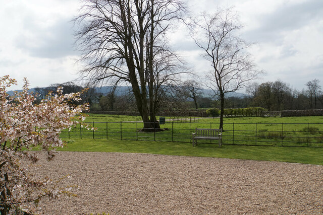
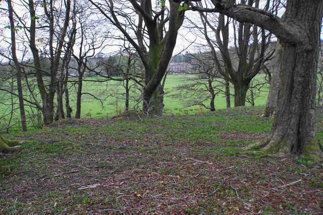
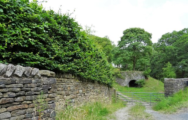
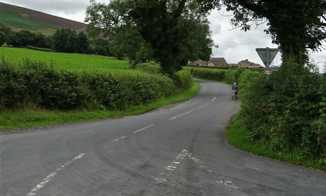
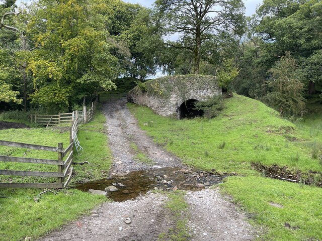
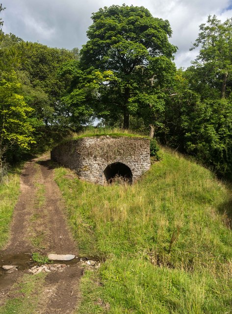
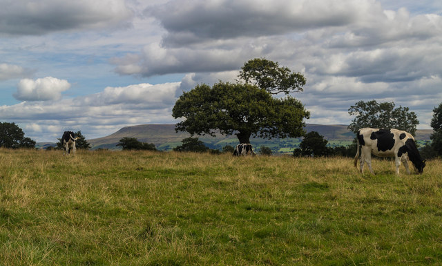
Limes Wood is a picturesque forest located in the county of Yorkshire, England. Spanning over a vast area, this woodland is renowned for its natural beauty and diverse range of flora and fauna. Limes Wood is nestled within the stunning countryside, offering visitors a tranquil and peaceful escape from the hustle and bustle of everyday life.
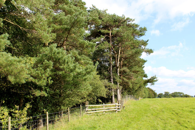
The forest is predominantly composed of lime trees, which lend the wood its name. These towering trees create a dense canopy, providing shade and shelter to the woodland floor below. The forest floor is blanketed with a rich carpet of mosses, ferns, and wildflowers, adding to the enchanting atmosphere.
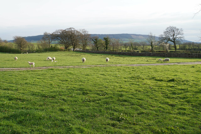
Limes Wood is a haven for wildlife enthusiasts, with a plethora of animal species calling this forest home. Birdwatchers can spot various avian species, including woodpeckers, owls, and thrushes. The forest also provides habitat for mammals such as foxes, badgers, and deer, which can occasionally be spotted roaming the woodland.
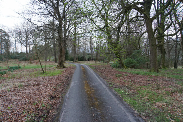
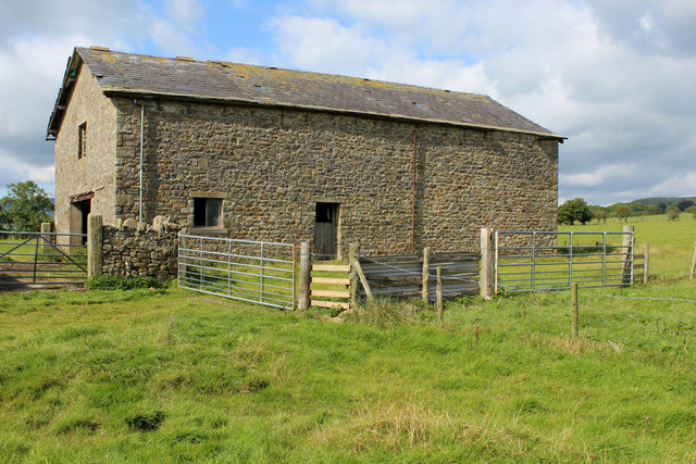
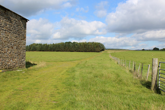
Visitors to Limes Wood can explore the forest through a network of well-maintained trails, allowing them to immerse themselves in the natural surroundings. These trails cater to a range of abilities, from leisurely strolls to more challenging hikes, ensuring there is something for everyone.
In addition to its natural beauty, Limes Wood offers recreational activities such as picnicking and wildlife photography. It is also a popular spot for educational visits, as schools and organizations often organize nature walks and workshops to educate visitors about the forest's biodiversity and conservation efforts.
Limes Wood is a true gem in Yorkshire, offering visitors a chance to connect with nature and experience the tranquility of a beautiful woodland setting.
If you have any feedback on the listing, please let us know in the comments section below.
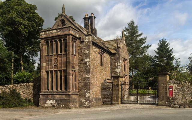
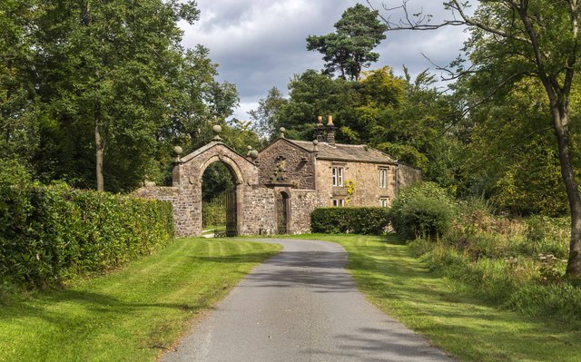
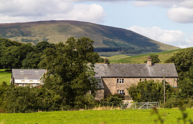
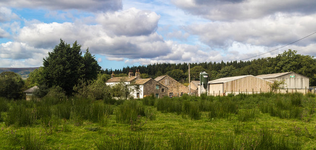
Limes Wood Images
Images are sourced within 2km of 53.887683/-2.5003929 or Grid Reference SD6743. Thanks to Geograph Open Source API. All images are credited.


Limes Wood is located at Grid Ref: SD6743 (Lat: 53.887683, Lng: -2.5003929)
Division: West Riding
Administrative County: Lancashire
District: Ribble Valley
Police Authority: Lancashire
What 3 Words
///firelight.playfully.crossword. Near Waddington, Lancashire
Nearby Locations
Related Wikis

Higher Lees Farmhouse
Higher Lees Farmhouse is an historic building in the English parish of Bowland Forest Low, Lancashire. It is Grade II listed, built around 1780, and is...

Cow Ark Farmhouse
Cow Ark Farmhouse is a historic building in the English parish of Bowland Forest Low, Lancashire. It is Grade II listed, built around 1780, and is a sandstone...

Lower Lees Farmhouse
Lower Lees Farmhouse is a historic building in the English parish of Bowland Forest Low, Lancashire. It is Grade II listed, built in 1678, and is a sandstone...

Browsholme Hall
Browsholme Hall is a privately owned Tudor house in the parish of Bowland Forest Low in the borough of Ribble Valley, Lancashire (although historically...

River Loud
The River Loud is a river of Lancashire, England. Starting out on Parlick, the Loud meanders mainly through the parish of Chipping, tracing its course...

Bashall Eaves
Bashall Eaves is a village and civil parish in the Ribble Valley district of Lancashire, England, about four miles (6 km) west of Clitheroe. The placename...

Bowland Forest Low
Bowland Forest Low is a civil parish in the Ribble Valley district of Lancashire, England, covering some 5,500 acres (22 km2) of the Forest of Bowland...

Longridge Fell
Longridge Fell is the most southerly fell in England, near the town of Longridge, Lancashire. It lies at the southern end of the Forest of Bowland Area...
Nearby Amenities
Located within 500m of 53.887683,-2.5003929Have you been to Limes Wood?
Leave your review of Limes Wood below (or comments, questions and feedback).