College Cleugh
Valley in Northumberland
England
College Cleugh
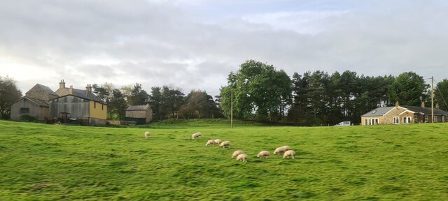
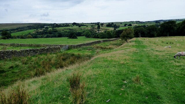
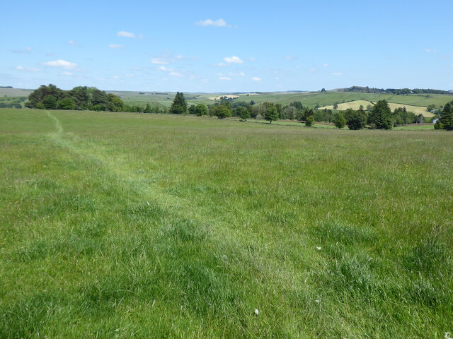
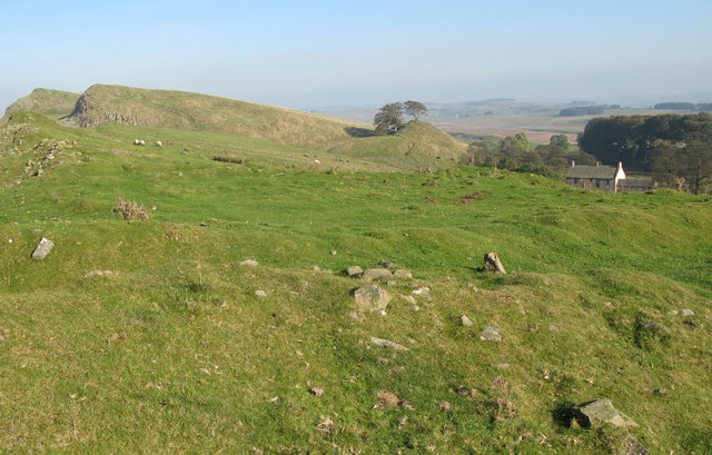
College Cleugh is a picturesque valley located in the Northumberland region of England. Situated near the village of Allendale, it is renowned for its natural beauty and rich history. The valley is nestled between rolling hills, providing a stunning backdrop of lush greenery and serene landscapes.
College Cleugh gets its name from the ancient lead mines that were once active in the area. The word "cleugh" is derived from the Old English term for a steep-sided valley. These lead mines were an integral part of the local economy during the 18th and 19th centuries, attracting miners from all over the region.
Today, College Cleugh is a popular destination for outdoor enthusiasts and nature lovers. The valley offers a plethora of activities, including hiking, cycling, and birdwatching. There are numerous walking trails that wind through the valley, allowing visitors to explore its idyllic surroundings.
The wildlife in College Cleugh is diverse and abundant. The valley is home to various species of birds, such as buzzards, kestrels, and owls, making it a haven for birdwatchers. Additionally, the area is known for its rich flora, with colorful wildflowers blooming during the spring and summer months.
In terms of amenities, College Cleugh offers limited facilities due to its rural location. However, nearby Allendale provides a range of accommodation options, including cozy bed and breakfasts and charming country inns.
Overall, College Cleugh is a hidden gem in Northumberland, offering visitors a chance to immerse themselves in the beauty of nature and discover the region's rich mining heritage.
If you have any feedback on the listing, please let us know in the comments section below.
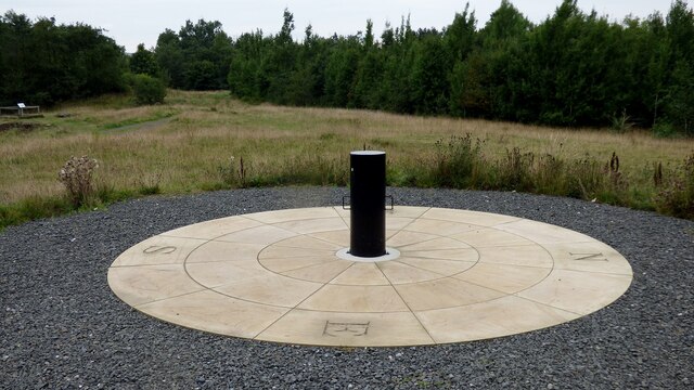
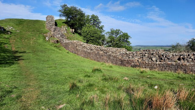
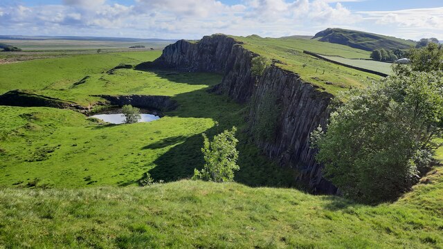
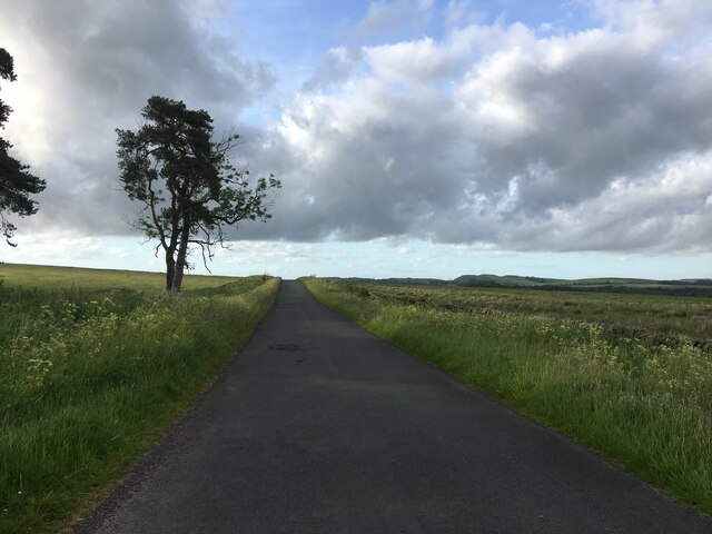
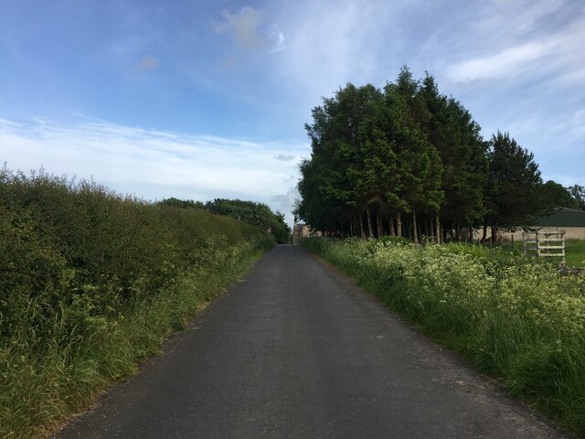
College Cleugh Images
Images are sourced within 2km of 54.979109/-2.5187392 or Grid Reference NY6665. Thanks to Geograph Open Source API. All images are credited.
College Cleugh is located at Grid Ref: NY6665 (Lat: 54.979109, Lng: -2.5187392)
Unitary Authority: Northumberland
Police Authority: Northumbria
What 3 Words
///ballooned.output.wanted. Near Greenhead, Northumberland
Nearby Locations
Related Wikis

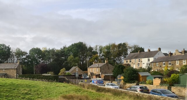
Greenhead, Northumberland
Greenhead is a village in Northumberland, England. The village is on the Military Road (B6318), about 17 miles (27 km) from Chollerford, 3 miles (5 km...

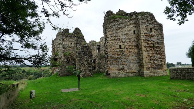
Blenkinsopp Castle
Blenkinsopp Castle (spelled Blenkinsop in many records) is a fire-damaged, partly demolished 19th-century country mansion, incorporating the ruinous remains...

Magnis (Carvoran)
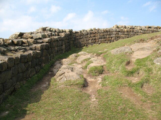
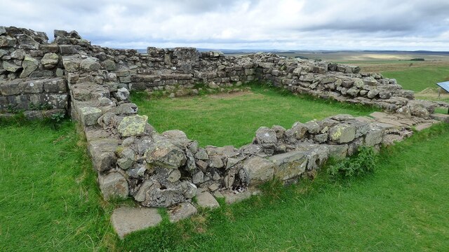
Magnis or Magna was a Roman fort on Hadrian's Wall in northern Britain. Its ruins are now known as Carvoran Roman Fort and are located near Carvoran, Northumberland...

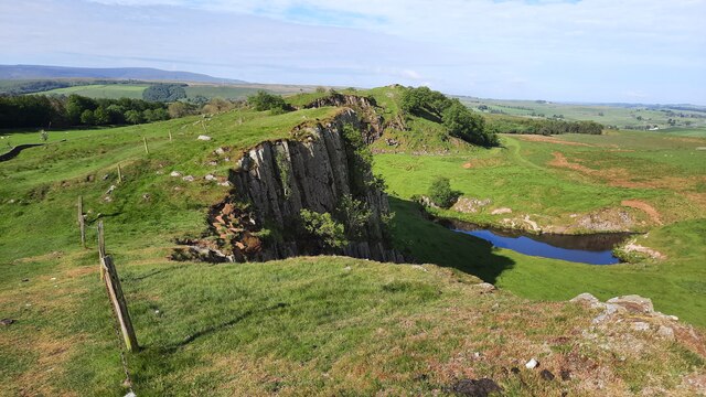
Milecastle 46
Milecastle 46 (Carvoran) was a milecastle on Hadrian's Wall (grid reference NY66466601). == Description == Milecastle 46 is just west of the Vallum deviation...
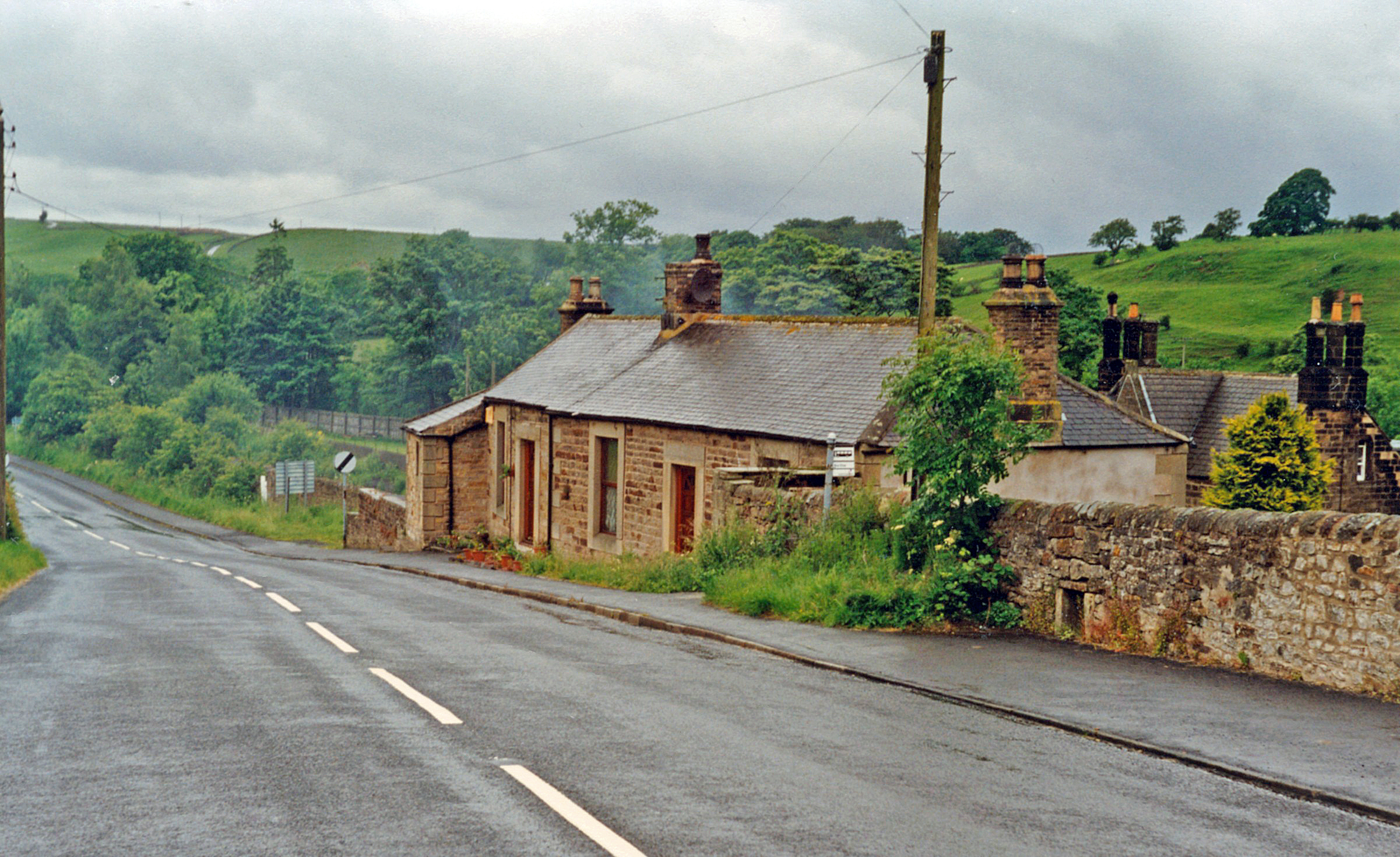
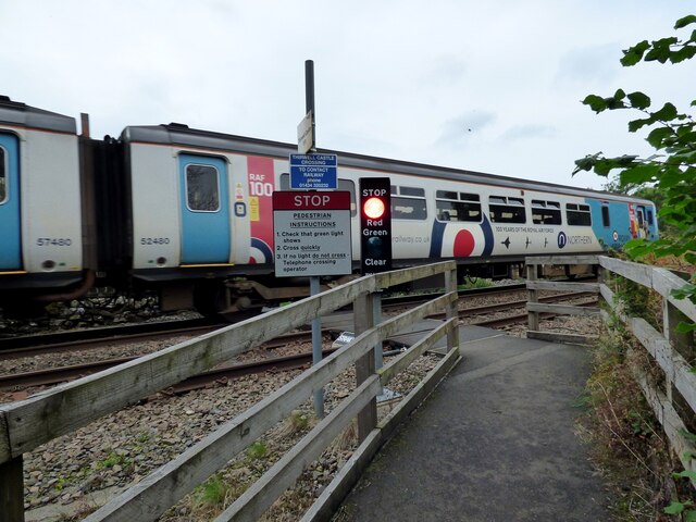
Greenhead railway station
Greenhead was a former railway station, which served the village of Greenhead, Northumberland in Northumberland between 1836 and 1967. == History == The...
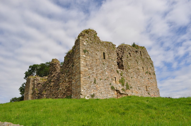
Thirlwall Castle
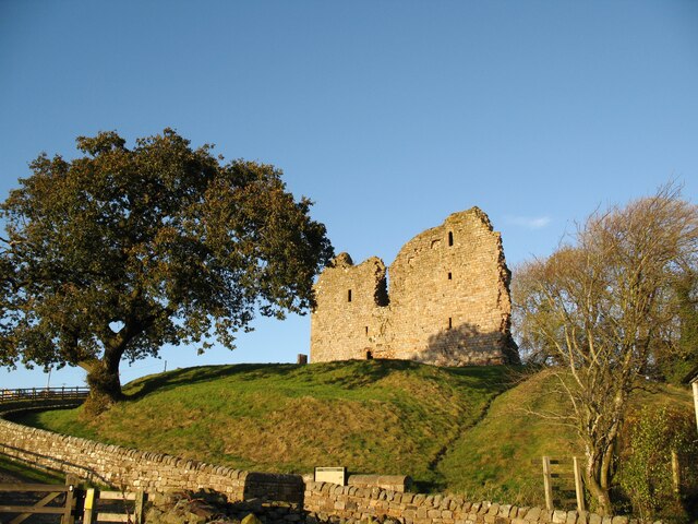
Thirlwall Castle is a 12th-century castle in Northumberland, England, on the bank of the River Tipalt close to the village of Greenhead and approximately...

Blenkinsop Hall
Blenkinsop Hall (grid reference NY68186412) is a privately owned castellated 19th-century country house situated on the banks of the Tipalt Burn near Greenhead...
Milecastle 45
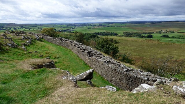
Milecastle 45 (Walltown) was a milecastle on Hadrian's Wall (grid reference NY67716657). == Description == Milecastle 45 is on the top of Walltown Crags...
Nearby Amenities
Located within 500m of 54.979109,-2.5187392Have you been to College Cleugh?
Leave your review of College Cleugh below (or comments, questions and feedback).