Magnis
Heritage Site in Northumberland
England
Magnis
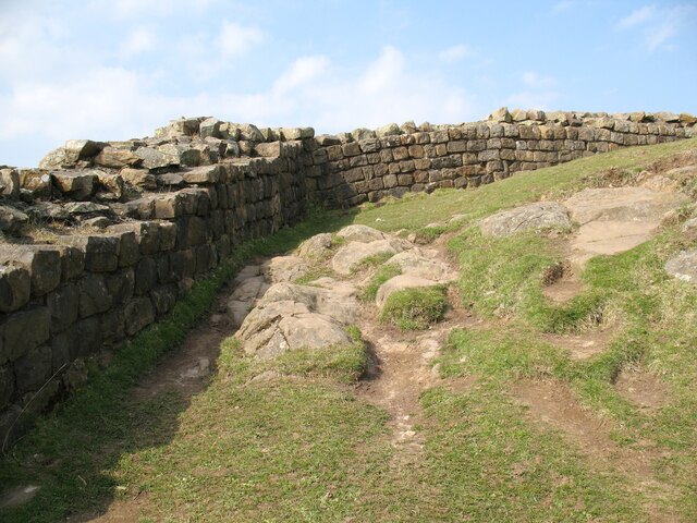
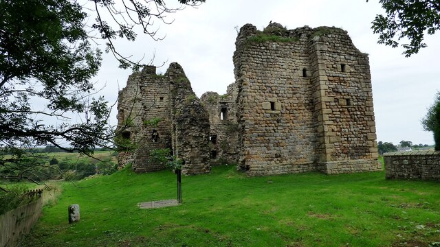
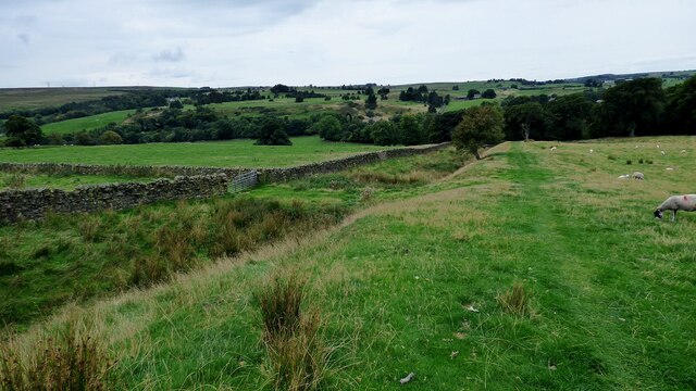
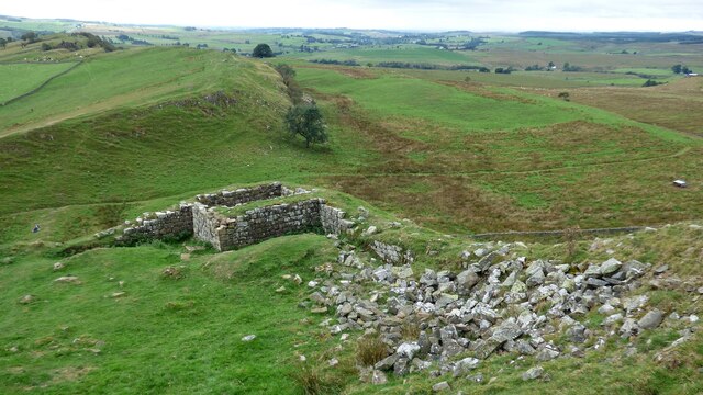
Magnis, located in Northumberland, is a significant heritage site that showcases the rich history and cultural heritage of the region. Situated on the banks of the River Tyne, Magnis was an important Roman fort during the occupation of Britain.
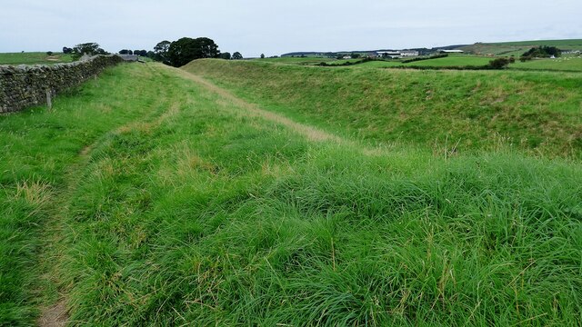
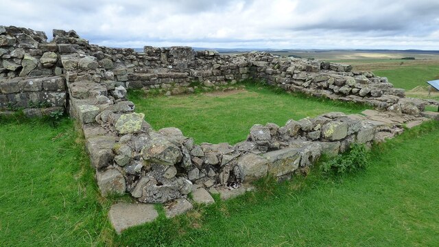
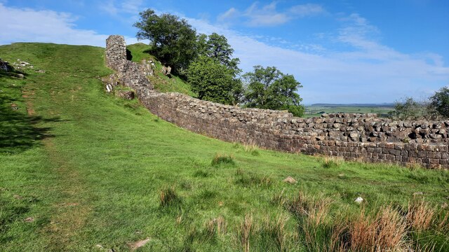
The fort was established in the 2nd century AD and served as a key military stronghold in the region. Its strategic location allowed the Romans to monitor and control the movements of the local population and defend against potential threats from the north. The remains of the fort include the foundations of the barracks, granaries, and a central courtyard.
In addition to its military importance, Magnis also played a significant role in trade and commerce. The fort was situated on the Roman road known as Dere Street, which connected the northern frontier with the rest of the empire. This made Magnis a bustling hub for goods and services, attracting merchants and traders from various parts of the Roman Empire.
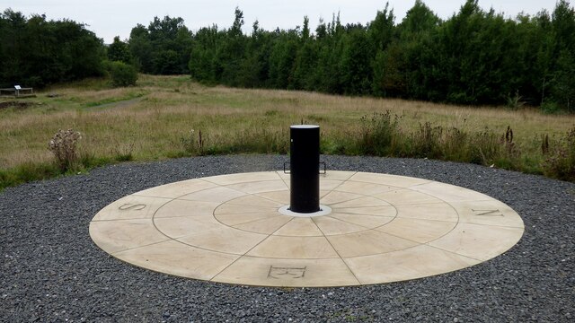
Today, Magnis stands as an important archaeological site and a testament to the Roman presence in Northumberland. Visitors can explore the remains of the fort and gain insights into the daily lives of the Roman soldiers who once occupied the site. Interpretive displays and information boards provide historical context and enhance the visitor experience.
Magnis is a popular destination for history enthusiasts, students, and tourists interested in Roman history. Its location amidst the stunning Northumberland landscape adds to its appeal, making it an ideal destination for those seeking to explore the region's rich cultural heritage.
If you have any feedback on the listing, please let us know in the comments section below.
Magnis Images
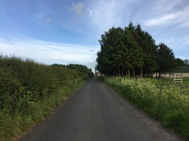
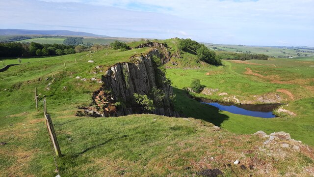
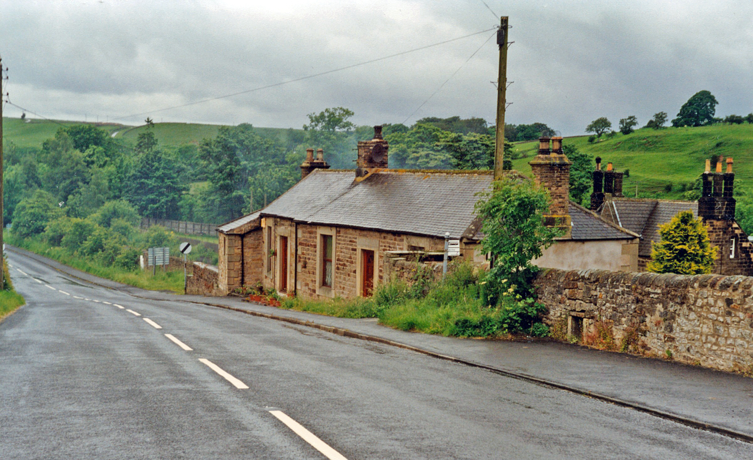
Images are sourced within 2km of 54.983/-2.523 or Grid Reference NY6665. Thanks to Geograph Open Source API. All images are credited.
Magnis is located at Grid Ref: NY6665 (Lat: 54.983, Lng: -2.523)
Unitary Authority: Northumberland
Police Authority: Northumbria
What 3 Words
///manuals.elsewhere.pump. Near Greenhead, Northumberland
Nearby Locations
Related Wikis

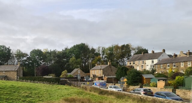
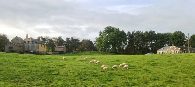
Greenhead, Northumberland
Greenhead is a village in Northumberland, England. The village is on the Military Road (B6318), about 17 miles (27 km) from Chollerford, 3 miles (5 km...

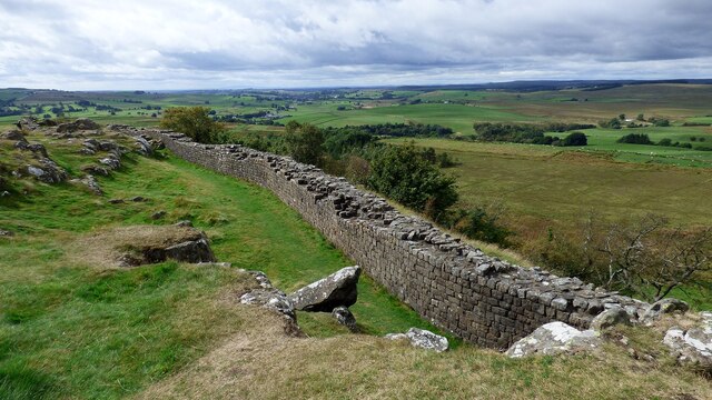
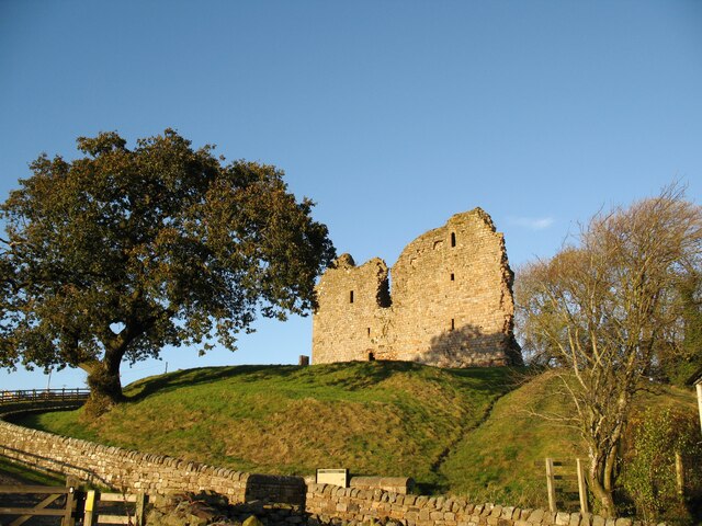
Magnis (Carvoran)
Magnis or Magna was a Roman fort on Hadrian's Wall in northern Britain. Its ruins are now known as Carvoran Roman Fort and are located near Carvoran, Northumberland...

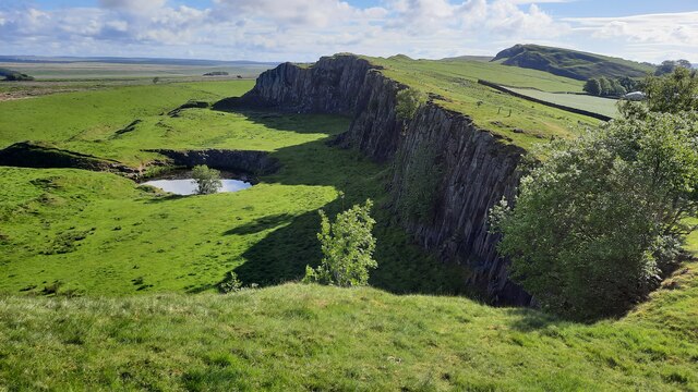
Milecastle 46
Milecastle 46 (Carvoran) was a milecastle on Hadrian's Wall (grid reference NY66466601). == Description == Milecastle 46 is just west of the Vallum deviation...
Greenhead railway station
Greenhead was a former railway station, which served the village of Greenhead, Northumberland in Northumberland between 1836 and 1967. == History == The...
Nearby Amenities
Located within 500m of 54.983,-2.523Have you been to Magnis ?
Leave your review of Magnis below (or comments, questions and feedback).