West College Plantation
Wood, Forest in Northumberland
England
West College Plantation
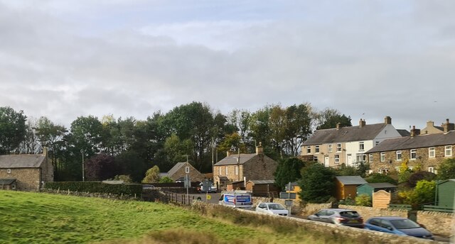
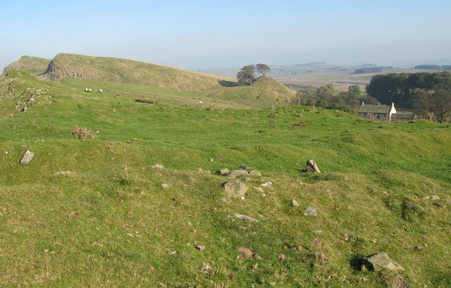
West College Plantation is a beautiful woodland area located in Northumberland, England. With its stunning natural beauty and rich biodiversity, it is a popular destination for nature enthusiasts and outdoor enthusiasts alike.
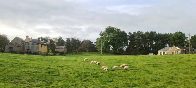
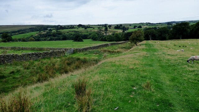
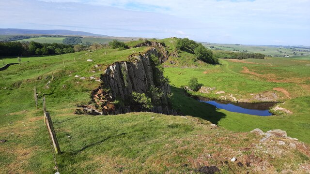
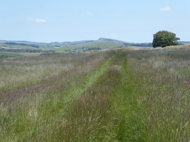
Covering an expansive area, West College Plantation is primarily composed of dense forests and woodlands. The plantation is home to a wide variety of tree species, including oak, beech, ash, and birch, which contribute to the area's vibrant and diverse ecosystem. The trees provide a dense canopy, creating a shaded and serene environment that is ideal for wildlife.
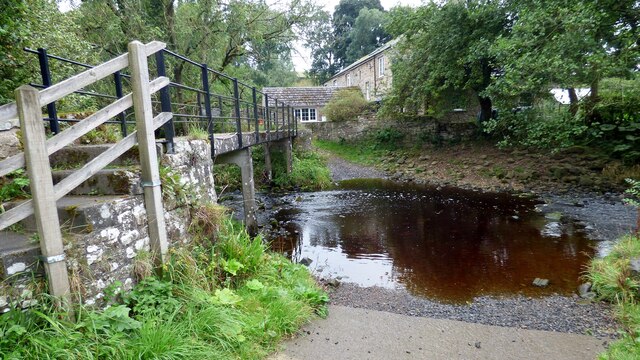
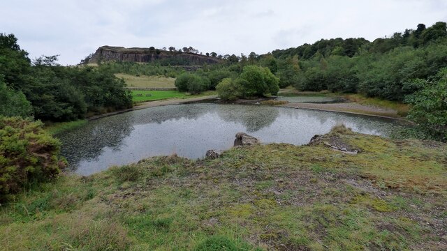
The plantation is crisscrossed by numerous walking trails, allowing visitors to explore the area and appreciate its natural wonders. These trails lead to scenic viewpoints, tranquil streams, and small ponds, adding to the overall charm of the plantation. Along the way, visitors may encounter a plethora of wildlife, such as deer, foxes, badgers, and a multitude of bird species.
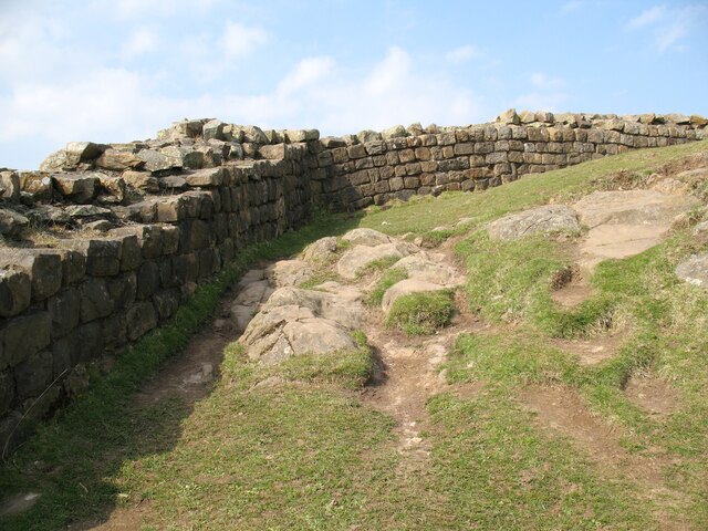
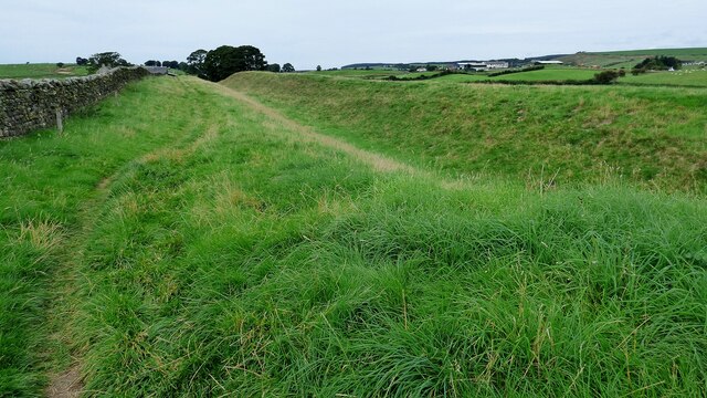
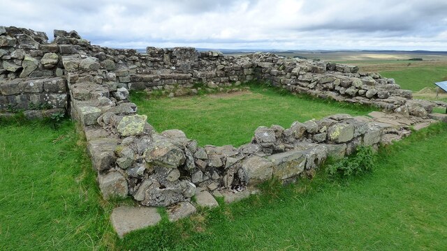
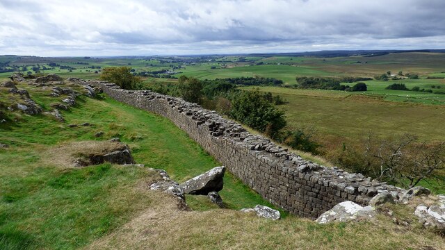
West College Plantation is not only a haven for flora and fauna but also a historically significant site. The area has a rich heritage, with remnants of ancient settlements and archaeological sites scattered throughout. These historical artifacts provide a glimpse into the past and add an additional layer of intrigue to the plantation.
Overall, West College Plantation is a remarkable destination for those seeking to immerse themselves in the beauty of nature. Its lush woodlands, diverse wildlife, and historical significance make it a captivating place to explore and appreciate the wonders of Northumberland's natural landscapes.
If you have any feedback on the listing, please let us know in the comments section below.
West College Plantation Images
Images are sourced within 2km of 54.982162/-2.5257163 or Grid Reference NY6665. Thanks to Geograph Open Source API. All images are credited.
West College Plantation is located at Grid Ref: NY6665 (Lat: 54.982162, Lng: -2.5257163)
Unitary Authority: Northumberland
Police Authority: Northumbria
What 3 Words
///budgeted.minder.classmate. Near Greenhead, Northumberland
Nearby Locations
Related Wikis

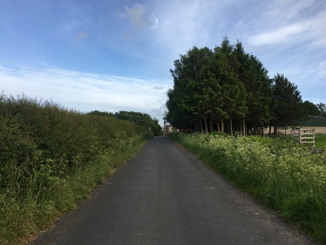
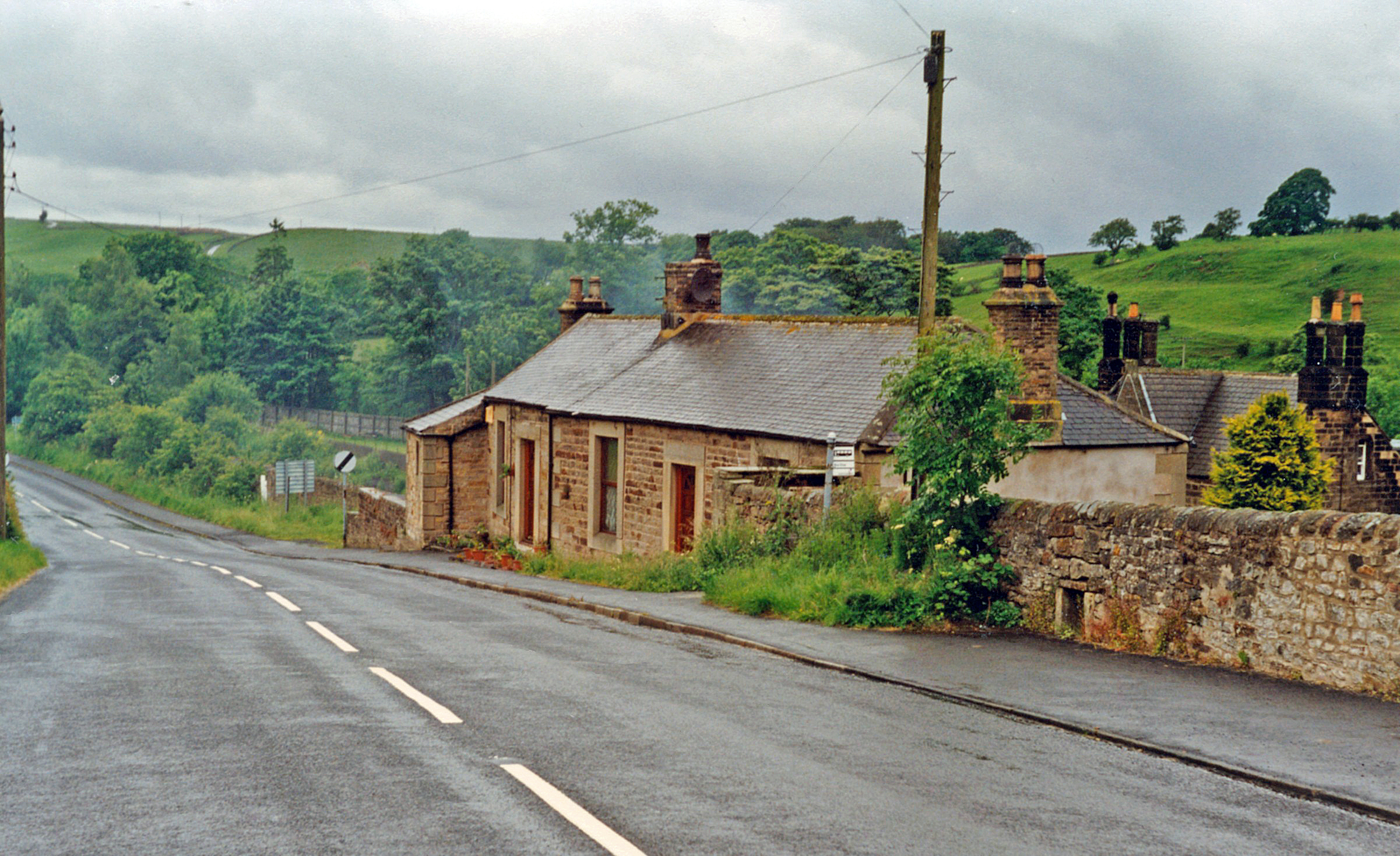
Greenhead, Northumberland
Greenhead is a village in Northumberland, England. The village is on the Military Road (B6318), about 17 miles (27 km) from Chollerford, 3 miles (5 km...

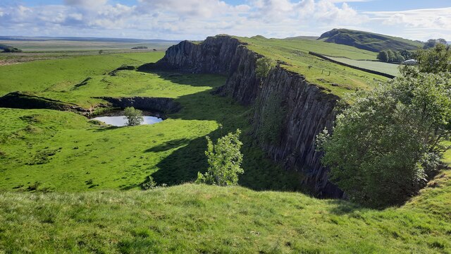
Magnis (Carvoran)
Magnis or Magna was a Roman fort on Hadrian's Wall in northern Britain. Its ruins are now known as Carvoran Roman Fort and are located near Carvoran, Northumberland...
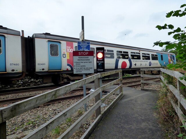
Greenhead railway station
Greenhead was a former railway station, which served the village of Greenhead, Northumberland in Northumberland between 1836 and 1967. == History == The...

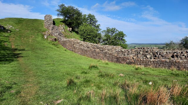
Milecastle 46
Milecastle 46 (Carvoran) was a milecastle on Hadrian's Wall (grid reference NY66466601). == Description == Milecastle 46 is just west of the Vallum deviation...
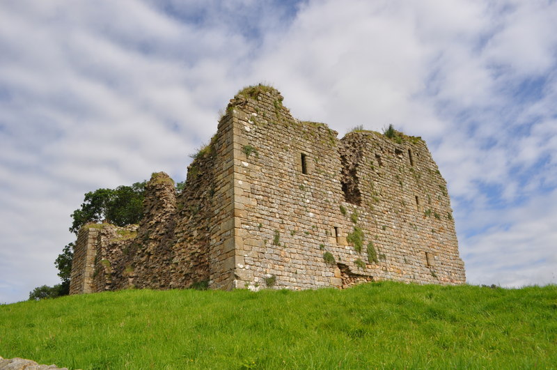
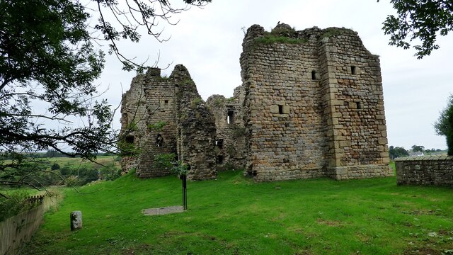
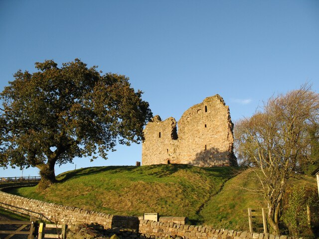
Thirlwall Castle
Thirlwall Castle is a 12th-century castle in Northumberland, England, on the bank of the River Tipalt close to the village of Greenhead and approximately...

Blenkinsopp Castle
Blenkinsopp Castle (spelled Blenkinsop in many records) is a fire-damaged, partly demolished 19th-century country mansion, incorporating the ruinous remains...

Milecastle 47
Milecastle 47 (Chapel House) was a milecastle on Hadrian's Wall (grid reference NY64906607). == Description == Milecastle 47 is about 270 metres east of...
Milecastle 45
Milecastle 45 (Walltown) was a milecastle on Hadrian's Wall (grid reference NY67716657). == Description == Milecastle 45 is on the top of Walltown Crags...
Nearby Amenities
Located within 500m of 54.982162,-2.5257163Have you been to West College Plantation?
Leave your review of West College Plantation below (or comments, questions and feedback).