Stoke Bottom
Valley in Somerset Mendip
England
Stoke Bottom
Stoke Bottom is a picturesque valley located in Somerset, a county in South West England. Nestled amidst rolling hills and lush greenery, this tranquil landscape offers visitors a peaceful retreat from the hustle and bustle of modern life.
The valley is known for its stunning natural beauty, with a meandering river flowing through its heart and gentle slopes covered in colorful wildflowers. The idyllic scenery attracts hikers, nature enthusiasts, and photographers looking to capture the essence of rural England.
Stoke Bottom is also home to a diverse range of wildlife, including deer, rabbits, and various species of birds. Nature lovers can spot them in their natural habitats while exploring the valley's vast network of walking trails.
The small community of Stoke Bottom is made up of charming cottages and farmhouses, giving it a quaint and traditional feel. The locals are known for their warm hospitality, and visitors can experience the authentic rural lifestyle by staying in one of the cozy bed and breakfasts or holiday cottages available in the area.
In addition to its natural beauty, Stoke Bottom boasts historical significance. The valley has ancient roots, with archaeological evidence of human settlement dating back thousands of years. History enthusiasts can explore the remnants of ancient structures and discover more about the valley's rich past.
Whether it's for a leisurely stroll through nature, a peaceful retreat, or a historical journey, Stoke Bottom offers a delightful escape into the heart of the Somerset countryside.
If you have any feedback on the listing, please let us know in the comments section below.
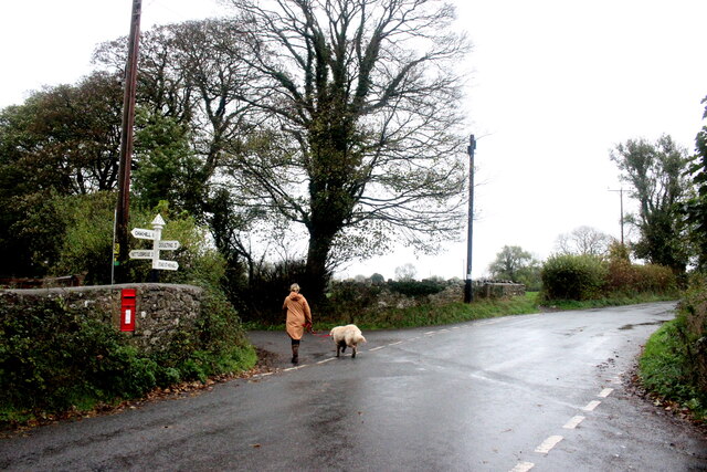
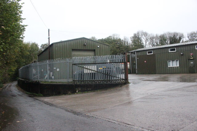
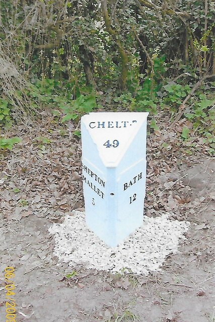
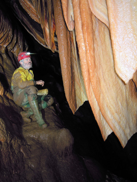
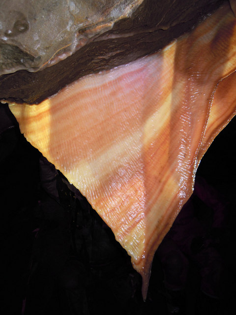
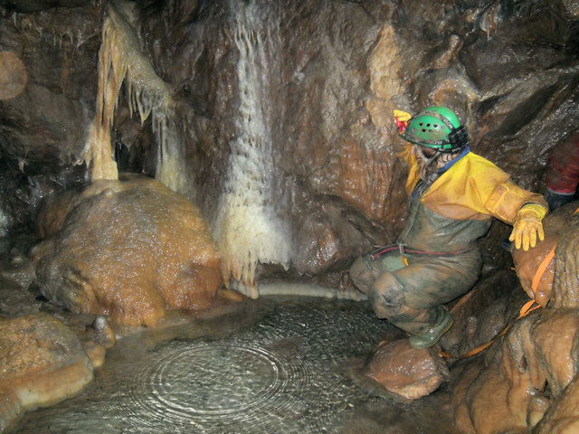
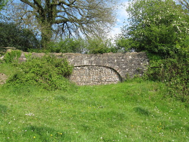
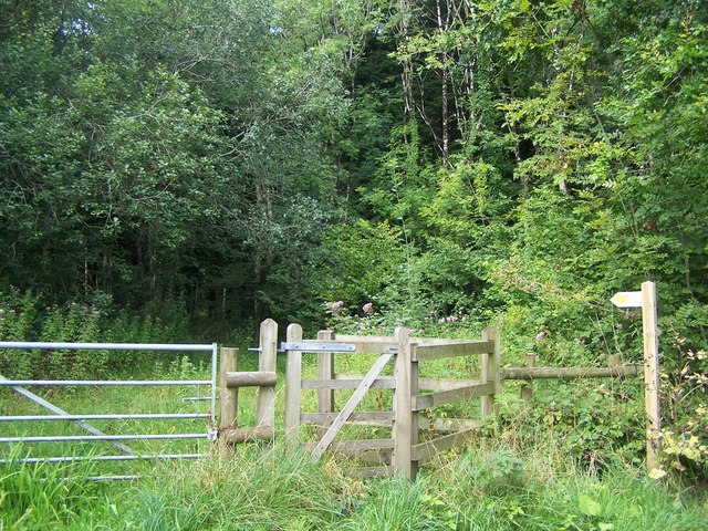
Stoke Bottom Images
Images are sourced within 2km of 51.231667/-2.4865055 or Grid Reference ST6648. Thanks to Geograph Open Source API. All images are credited.


Stoke Bottom is located at Grid Ref: ST6648 (Lat: 51.231667, Lng: -2.4865055)
Administrative County: Somerset
District: Mendip
Police Authority: Avon and Somerset
What 3 Words
///eggplants.hexes.tells. Near Chilcompton, Somerset
Nearby Locations
Related Wikis

Edford Woods and Meadows
Edford Woods and Meadows (grid reference ST665485) is a 54.3 hectare (134.1 acre) biological Site of Special Scientific Interest, between Nettlebridge...

W/L Cave
W/L Cave is part of the Fairy Cave Quarry group of caves between Stoke St Michael and Oakhill in the limestone of the Mendip Hills, in Somerset, England...

Hillier's Cave
Hillier's Cave (grid reference ST65734753) is a cave in Fairy Cave Quarry, near Stoke St Michael in the limestone of the Mendip Hills, in Somerset, England...

Balch Cave
Balch Cave (grid reference ST65734753) is a cave in Fairy Cave Quarry, near Stoke St Michael in the limestone of the Mendip Hills, in Somerset, England...
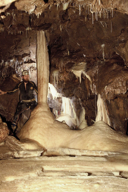
Shatter Cave
Shatter Cave is a cave in Fairy Cave Quarry, near Stoke St Michael in the limestone of the Mendip Hills, in Somerset, England. It falls within the St....

Fairy Cave Quarry
Fairy Cave Quarry (grid reference ST65734753) is between Stoke St Michael and Oakhill in the limestone of the Mendip Hills, in Somerset, England. Quarrying...
Cook's Wood Quarry
Cook's Wood Quarry also known as Holcombe Quarry (grid reference ST669479) is a 0.8-hectare (2.0-acre) geological Site of Special Scientific Interest near...
St Dunstan's Well Catchment
St. Dunstan's Well Catchment (grid reference ST668475) is a Site of Special Scientific Interest, covering 39.8 hectares (98.3 acres) near Stoke St Michael...
Nearby Amenities
Located within 500m of 51.231667,-2.4865055Have you been to Stoke Bottom?
Leave your review of Stoke Bottom below (or comments, questions and feedback).