Andrew Scar

Valley in Westmorland Eden

England

Andrew Scar

Boulder at path junction
Boulder at path junction Credit: Mick Garratt

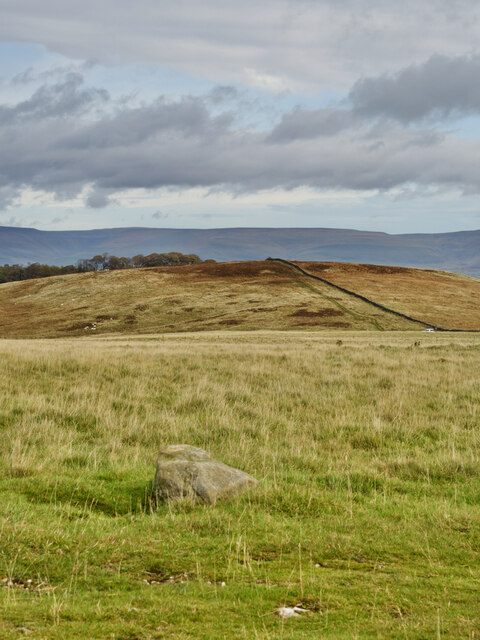
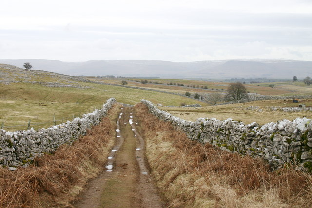
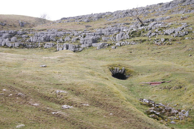
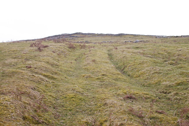
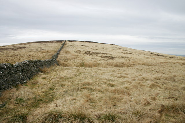
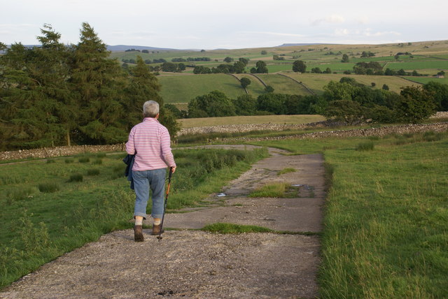
Andrew Scar is a small village located in the valley of Westmorland, a county in northwest England. Situated amidst picturesque landscapes, this charming village offers a peaceful and idyllic setting for its residents and visitors alike.

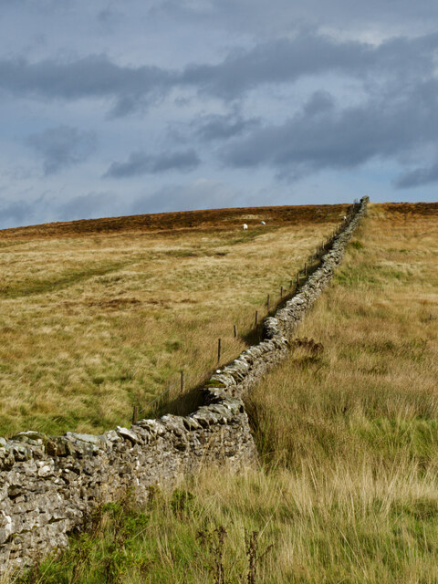
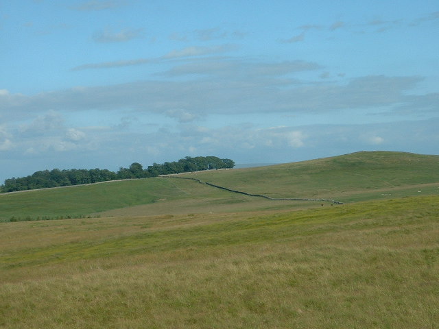
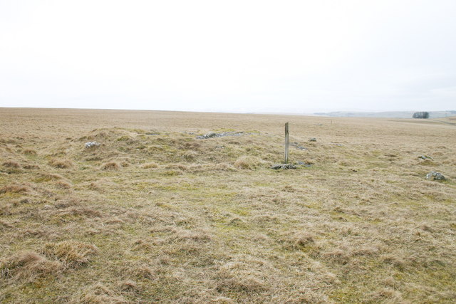
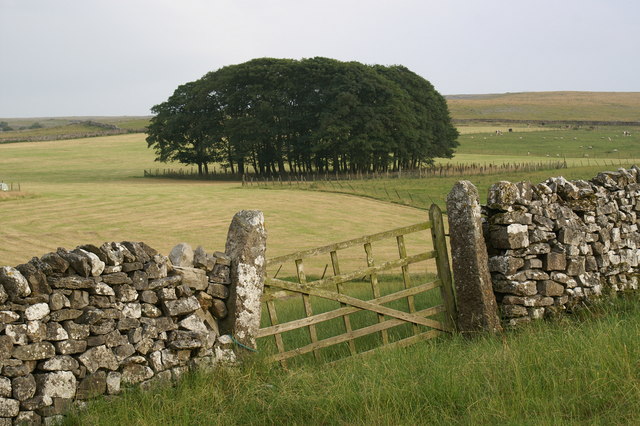
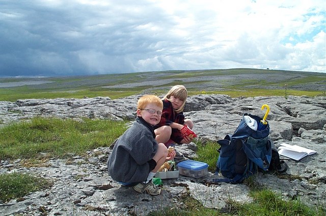
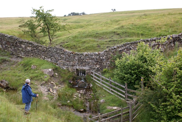
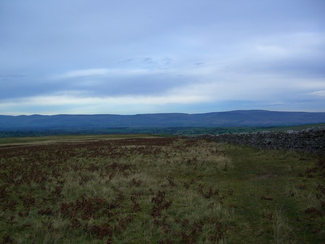
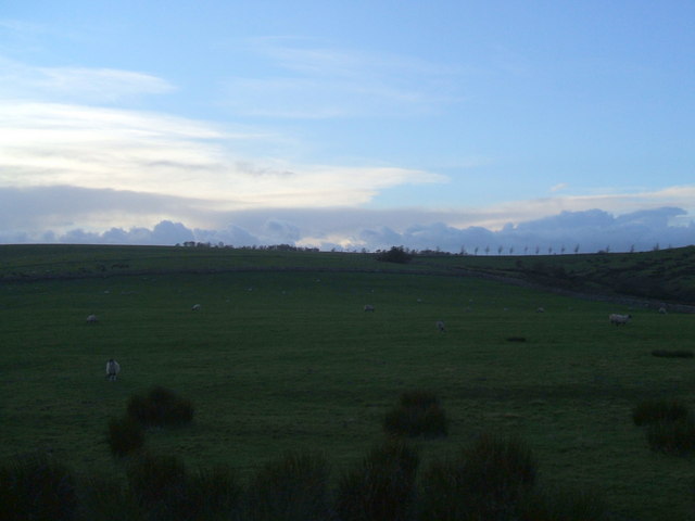
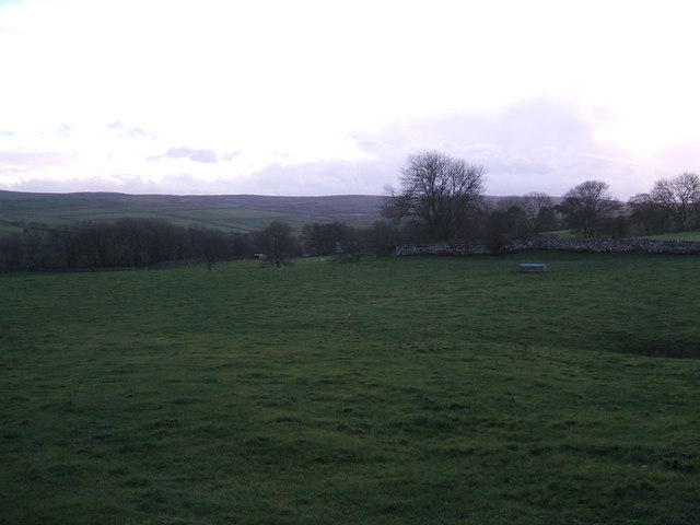
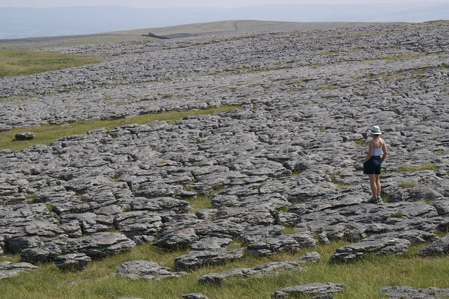
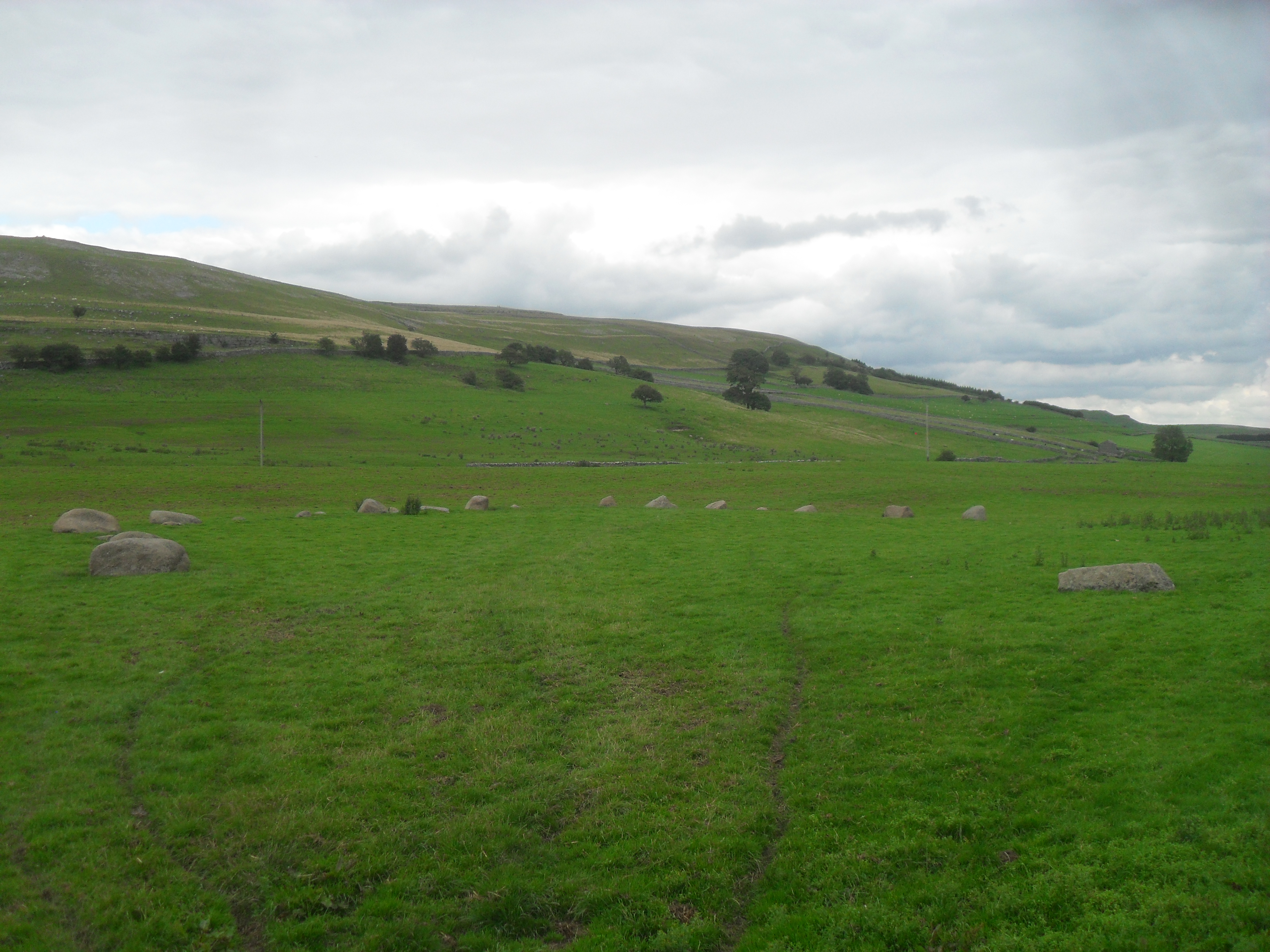
The village is known for its stunning natural beauty, with rolling hills and lush greenery surrounding the area. It is situated within the larger Westmorland Valley, which is renowned for its breathtaking panoramic views and tranquil atmosphere. Andrew Scar benefits from being nestled within this valley, providing residents with a close connection to nature and a serene environment.

The village itself is relatively small, with a tight-knit community that fosters a warm and welcoming atmosphere. The locals take pride in their village, maintaining the traditional architecture and character that is characteristic of the region. Stone cottages, quaint gardens, and vibrant floral displays can be found throughout the village, adding to its charm.

Despite its small size, Andrew Scar offers several amenities to its residents. There is a local pub that serves as a social hub for the community, providing a place for neighbors to gather and enjoy each other's company. Additionally, the village is well-connected to surrounding towns and cities, with good transport links and access to essential services.

Whether it's exploring the stunning countryside, immersing oneself in the local community, or simply enjoying the tranquility of village life, Andrew Scar in Westmorland Valley offers a delightful experience for residents and visitors seeking a peaceful retreat in the heart of the English countryside.

If you have any feedback on the listing, please let us know in the comments section below.

Andrew Scar Images

Images are sourced within 2km of 54.496626/-2.5244503 or Grid Reference NY6611. Thanks to Geograph Open Source API. All images are credited.

Boulder at path junction
Linglow Hill
Linglow Hill
Bank Moor, near Orton Looking east towards Marksclose Wood
Bank Moor, near Orton
Looking east towards Marksclose Wood
Andrew Scar A small limestone escarpment situated at Sayle Bottom.
Andrew Scar
A small limestone escarpment situated at Sayle Bottom.
Coppermine Lane Also known as Sayle Lane. The rock here is limestone.
Coppermine Lane
Also known as Sayle Lane. The rock here is limestone.
Old Mine Just off Coppermine Lane, this was probably a trial adit, driven in the search for lead.
Old Mine
Just off Coppermine Lane, this was probably a trial adit, driven in the search for lead.
Track onto Asby Winderwath Common Little used now, it has seen considerable traffic in the past and is noticeably sunken. Much weathered limestone has been removed from this area and carts have left their tell-tale grooves.
Track onto Asby Winderwath Common
Little used now, it has seen considerable traffic in the past and is noticeably sunken. Much weathered limestone has been removed from this area and carts have left their tell-tale grooves.
Linglow Hill The drystone wall runs dead straight for approximately 2km. Linglow is pronounced locally as "Lingluh"
Linglow Hill
The drystone wall runs dead straight for approximately 2km. Linglow is pronounced locally as "Lingluh"
Tumuli on Gaythorn Plain They're called "Cairns" on the most recent OS map. This upland plain IS very plain, and extremely difficult to navigate in poor visibility.
Tumuli on Gaythorn Plain
They're called "Cairns" on the most recent OS map. This upland plain IS very plain, and extremely difficult to navigate in poor visibility.
Track to Fields
Track to Fields
View from Maisongill Maisongill Farm is quite isolated. This view from close to the farm entrance looks up to Muddygill Plain.
View from Maisongill
Maisongill Farm is quite isolated. This view from close to the farm entrance looks up to Muddygill Plain.
Lunch on a Limestone Pavement Lunch break on a limestone pavement, Great Asby Scar.  Umbrellas at the ready as a storm approaches from the Howgill Fells.  Looking from the northwest corner of the Great Asby Scar National Nature Reserve towards Castle Folds.  One of the best examples of massive limestone pavement in the UK - the Shining Stones - visible in far left background.
Lunch on a Limestone Pavement
Lunch break on a limestone pavement, Great Asby Scar. Umbrellas at the ready as a storm approaches from the Howgill Fells. Looking from the northwest corner of the Great Asby Scar National Nature Reserve towards Castle Folds. One of the best examples of massive limestone pavement in the UK - the Shining Stones - visible in far left background.
Towards Marksclose Wood From footpath at southern end of woodland strip west of Halligill Farm
Towards Marksclose Wood
From footpath at southern end of woodland strip west of Halligill Farm
Track from Halligill to Great Asby Beyond the prominent bend is Whitewall Farm, hidden in the little valley. Wild Boar Fell is visible top right.
Track from Halligill to Great Asby
Beyond the prominent bend is Whitewall Farm, hidden in the little valley. Wild Boar Fell is visible top right.
The Bridleway from Great Asby Scar to Great Asby
Fields near Halligill The farm is over the rise facing west
Fields near Halligill
The farm is over the rise facing west
Looking down towards Whitewall
Farm buildings
Farm buildings
Show me another place!

Andrew Scar is located at Grid Ref: NY6611 (Lat: 54.496626, Lng: -2.5244503)

Administrative County: Cumbria

District: Eden

Police Authority: Cumbria

What 3 Words

///visitor.relies.pursue. Near Appleby-in-Westmorland, Cumbria

Nearby Locations

Andrew Scar

Related Wikis

Related Videos

Great Asby Trig

A lovely warm evening in the Westmorland Dales, fed, watered and not wanting to sit and veg in front of the TV. So what do you do ...

4 SIMPLE Steps to FINDING Landscape Photography COMPOSITIONS

In this video I discuss my approach for finding compositions for landscape photography. Sometimes it can be difficult to find ...

Great Asby Scar, Cumbria - 29 May 2022

A 10 mile walk from Orton in Cumbria. The route heads north to Orton Scar and Beacon Hill. From here the route continues over ...

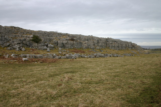
Landscape Photography - Cumbrian Limestone Pavements

This week I pay a visit to Great Asby Scar in the Yorkshire Dales. Inspired by my good friend James Burns I head out to ...

Nearby Amenities

Located within 500m of 54.496626,-2.5244503
Passing Place
Lat/Long: 54.4984008/-2.5288913
The data included in this document is from www.openstreetmap.org. The data is made available under ODbL.

Have you been to Andrew Scar?

Leave your review of Andrew Scar below (or comments, questions and feedback).