Scotland Bottom

Valley in Somerset

England

Scotland Bottom

Midday, Christmas 2021 The slopes of the Coots were damp, grey and pretty uninspiring this year. Whilst the faint hum of traffic down the hill did not mask the many birdsongs, it was nevertheless a quiet one.
Midday, Christmas 2021 Credit: Neil Owen

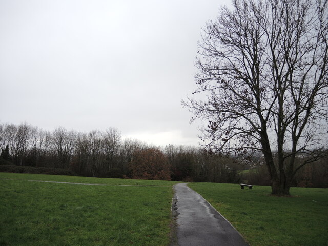
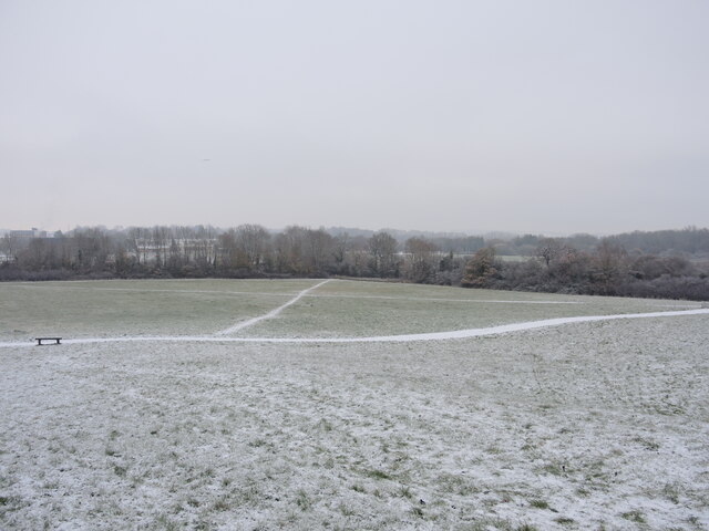
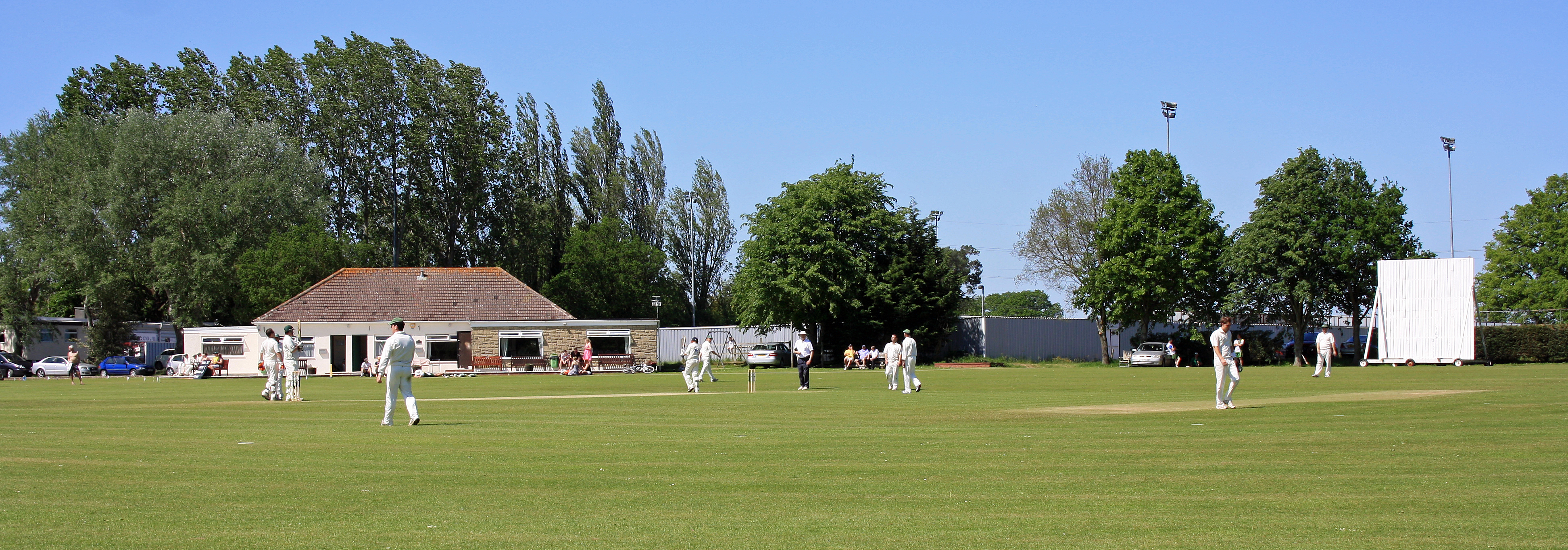
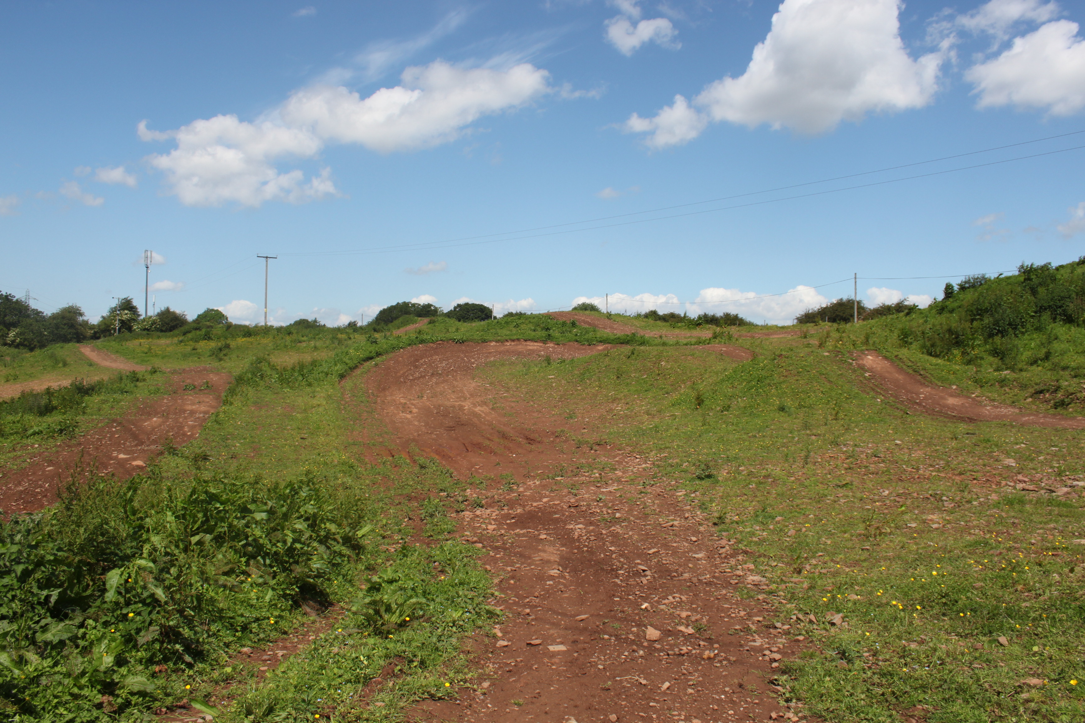
Scotland Bottom is a small village located in the county of Somerset, in the southwest of England. Situated within a picturesque valley, it is surrounded by rolling hills and stunning landscapes, making it an idyllic rural retreat.

The village itself is home to a tight-knit community and boasts a charming and quaint atmosphere. It is characterized by its traditional stone cottages, many of which date back to the 18th and 19th centuries, giving the village a distinct historical charm. The architecture is a blend of traditional English styles, with some buildings featuring thatched roofs and exposed beams.

The valley in which Scotland Bottom is situated provides breathtaking views and ample opportunities for outdoor activities. The surrounding countryside offers numerous walking trails, making it a paradise for hikers and nature enthusiasts. The lush green fields and meandering streams also attract wildlife, making it a popular spot for birdwatching.

Despite its small size, Scotland Bottom has a strong sense of community spirit. The village has a local pub, where residents and visitors can enjoy a pint and socialize. Additionally, there is a village hall that serves as a venue for various community events and gatherings throughout the year.

Scotland Bottom is located a short distance from the town of Axbridge, where residents can access a wider range of amenities, including shops, schools, and medical facilities. The village also benefits from good transport links, with easy access to major roads and public transportation options, making it a convenient base for exploring the wider Somerset region.

If you have any feedback on the listing, please let us know in the comments section below.

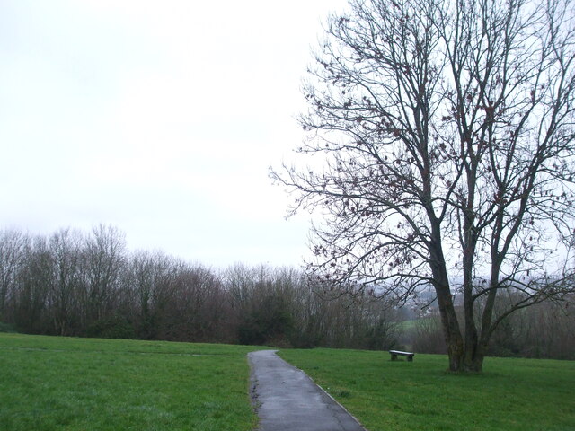
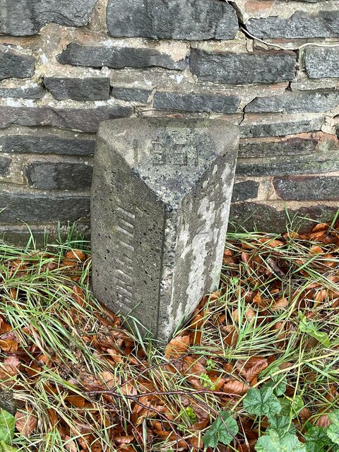
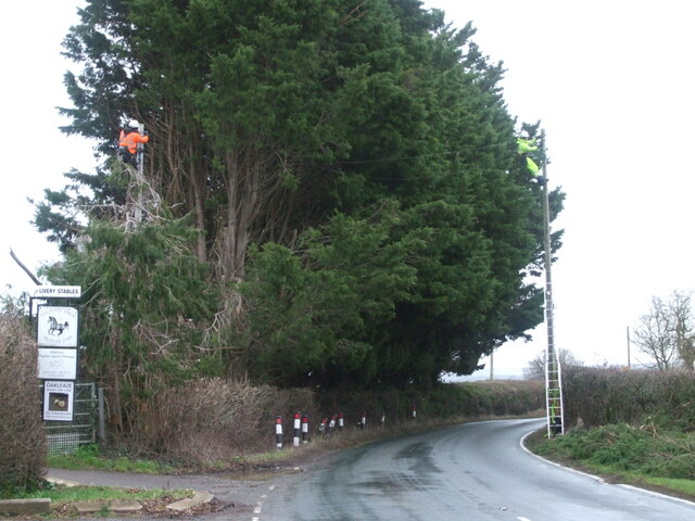
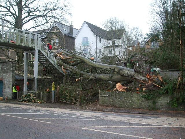
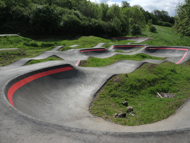
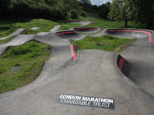
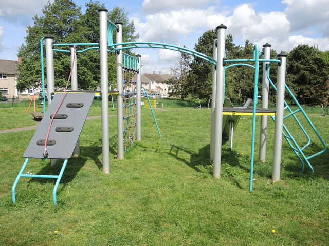
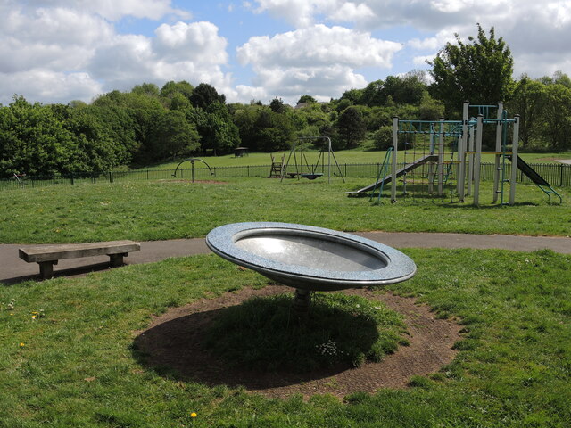
Scotland Bottom Images

Images are sourced within 2km of 51.424872/-2.528496 or Grid Reference ST6369. Thanks to Geograph Open Source API. All images are credited.

Midday, Christmas 2021 The slopes of the Coots were damp, grey and pretty uninspiring this year. Whilst the faint hum of traffic down the hill did not mask the many birdsongs, it was nevertheless a quiet one.
Midday, Christmas 2021
The slopes of the Coots were damp, grey and pretty uninspiring this year. Whilst the faint hum of traffic down the hill did not mask the many birdsongs, it was nevertheless a quiet one.
Old Boundary Marker on the A4 Bath Road County Boundary Marker against a stone wall where wall turns north on the north side of the A4 Bath Road at Hicks Gate. On the boundary of the City of Bristol and Keynsham parish in Somerset. Inscribed BRISTOL and SOMERSET on adjacent faces and 1951 on its top. See also <a title="https://www.geograph.org.uk/photo/5686888" href="https://www.geograph.org.uk/photo/5686888">Link</a> and <a title="https://www.geograph.org.uk/photo/5686892" href="https://www.geograph.org.uk/photo/5686892">Link</a>.

Milestone Society National ID: SO_BRIKEY01cb
Old Boundary Marker on the A4 Bath Road
County Boundary Marker against a stone wall where wall turns north on the north side of the A4 Bath Road at Hicks Gate. On the boundary of the City of Bristol and Keynsham parish in Somerset. Inscribed BRISTOL and SOMERSET on adjacent faces and 1951 on its top. See also Link and Link. Milestone Society National ID: SO_BRIKEY01cb
Getting reconnected Storms Dudley and Eunice brought severe winds to the South West. Telephone lines were damaged and repairs are underway in the damp and gusty conditions by Oakleaze Farm.
Getting reconnected
Storms Dudley and Eunice brought severe winds to the South West. Telephone lines were damaged and repairs are underway in the damp and gusty conditions by Oakleaze Farm.
Crashing down on the footbridge Storm Eunice swept the South West and this big tree was a casualty. It came down and hit the footbridge linking the school to the playing fields. Workers set about the fallen lumber and attend to the surrounding damage.
Crashing down on the footbridge
Storm Eunice swept the South West and this big tree was a casualty. It came down and hit the footbridge linking the school to the playing fields. Workers set about the fallen lumber and attend to the surrounding damage.
The sign fades but the sentiment doesn't A hand-made display of thanks on the Old Bristol Road may be in need of a little care, but remains valid and public.
The sign fades but the sentiment doesn't
A hand-made display of thanks on the Old Bristol Road may be in need of a little care, but remains valid and public.
Bumps behind Burnbush School A new cycle track has opened in the open space off Whittock Road, not far from the school (which is now known as Woodlands Academy).
Bumps behind Burnbush School
A new cycle track has opened in the open space off Whittock Road, not far from the school (which is now known as Woodlands Academy).
Track builders The new pump track in Stockwood was designed by Architrail Velosolutions for use by bikes, skateboards and scooters.
Track builders
The new pump track in Stockwood was designed by Architrail Velosolutions for use by bikes, skateboards and scooters.
The new pump track in Stockwood Access Sport, a sporting charity, helped to create this new track - one of only four in Bristol - for the use and enjoyment of the local youths. They are promoting their Making Trax Cycling Inclusive program, encouraging everyone to engage in healthy outdoor exercise. It offers plenty of fun and challenging routes around the twisty and bumpy tarmac track.
The new pump track in Stockwood
Access Sport, a sporting charity, helped to create this new track - one of only four in Bristol - for the use and enjoyment of the local youths. They are promoting their Making Trax Cycling Inclusive program, encouraging everyone to engage in healthy outdoor exercise. It offers plenty of fun and challenging routes around the twisty and bumpy tarmac track.
A cradle for future medallists? The new Stockwood pump track was officially opened in May, 2021, by B.M.X. Freestyler and Tokyo 2020 bronze medallist, Declan Brookes. It is hoped the track will become a 'thriving resource' for local people. There are plans to offer open tracktime, rock-up-and-ride sessions, after-school coaching and inclusive programmes for less abled riders.
A cradle for future medallists?
The new Stockwood pump track was officially opened in May, 2021, by B.M.X. Freestyler and Tokyo 2020 bronze medallist, Declan Brookes. It is hoped the track will become a 'thriving resource' for local people. There are plans to offer open tracktime, rock-up-and-ride sessions, after-school coaching and inclusive programmes for less abled riders.
Many friends have helped The new pump track in Stockwood was created with the help of many organisations: the London Marathon Charity were one of several along with the city council that have given the local people a great facility.
Many friends have helped
The new pump track in Stockwood was created with the help of many organisations: the London Marathon Charity were one of several along with the city council that have given the local people a great facility.
A little castle for little kings and queens Some of the play equipment on Whittock Road.
A little castle for little kings and queens
Some of the play equipment on Whittock Road.
Whittock Road play area A rotating dish for spinners, along with other offerings.
Whittock Road play area
A rotating dish for spinners, along with other offerings.
Stone in the wall of Hicks Gate House on Durley Hill between Bristol and Keynsham Stone set above ground level in the north facing wall of Hicks Gate House on Durley Hill, the former A4. Without an inscription it is difficult to decide if this stone ever had a specific function .
Stone in the wall of Hicks Gate House on Durley Hill between Bristol and Keynsham
Stone set above ground level in the north facing wall of Hicks Gate House on Durley Hill, the former A4. Without an inscription it is difficult to decide if this stone ever had a specific function .
In the batters' dugout Somerdale Pavilion has lots of room for sports. It has recently become home to the Bristol baseball teams and they have installed some cover for the teams.

On this day there was a semi-final double-header. The host team lost earlier in the morning; the second game took place in the afternoon.
In the batters' dugout
Somerdale Pavilion has lots of room for sports. It has recently become home to the Bristol baseball teams and they have installed some cover for the teams. On this day there was a semi-final double-header. The host team lost earlier in the morning; the second game took place in the afternoon.
At the plate A baseball semi-final takes place at the home of the Bristol Badgers.
At the plate
A baseball semi-final takes place at the home of the Bristol Badgers.
Pitching at the bottom of the ninth Bristol Baseball Club has a number of teams, including the women's side - the Bobcats. They play in the British Baseball Federation.
Pitching at the bottom of the ninth
Bristol Baseball Club has a number of teams, including the women's side - the Bobcats. They play in the British Baseball Federation.
Another Stockwood Christmas The traditional scene overlooking The Coots hillside. A south-west waft had brought above average temperatures but also prolonged spells of rain. Not a soul about; just a few small birds chirping in the trees.
Another Stockwood Christmas
The traditional scene overlooking The Coots hillside. A south-west waft had brought above average temperatures but also prolonged spells of rain. Not a soul about; just a few small birds chirping in the trees.
Highlighting the tracks A light fall of snow has made the crossing tracks more obvious; at the bottom of the hill is a small pond.
Highlighting the tracks
A light fall of snow has made the crossing tracks more obvious; at the bottom of the hill is a small pond.
Show me another place!

Scotland Bottom is located at Grid Ref: ST6369 (Lat: 51.424872, Lng: -2.528496)

Unitary Authority: Bath and North East Somerset

Police Authority: Avon and Somerset

What 3 Words

///hiding.dusty.jeeps. Near Keynsham, Somerset

Nearby Locations

Hicks Gate Scotland Bottom

Related Wikis

Related Videos

Walking In The Snow In Bristol, 2 March 2018

Walking in the beast from the east snow storm in Bristol, 2 March 2018.

Keynsham: Van issues, Dangerous cycle paths & Pumpkin Patches! Bristol

Join me as I take advantage of getting my Van fixed up to spend the day in Keynsham, Bristol. After checking out the Town and ...

An Afternoon Walk through The Eastern Suburbs of Bristol • Longwell Green • Sunny Day • Your POV

Longwell Green, Bristol, England, UK 21°C, April 2023, 12:33 PM •• Elusive Experience | Ambient World from Your Point of View ...

Nearby Amenities

Located within 500m of 51.424872,-2.528496
Bus Stop
Hicks Gate
Naptan AtcoCode: 0100BAC30684
Naptan Bearing: W
Naptan CommonName: Hicks Gate
Naptan NaptanCode: bstmtja
Naptan PlusbusZoneRef: BRSTLTM
Naptan Street: Bath Road
Naptan Verified: no
Source: naptan_import
Lat/Long: 51.426359/-2.5257721
Bus Stop
Hicks Gate
Bench: no
Bin: yes
Lit: no
Naptan AtcoCode: 0100BAC30685
Naptan Bearing: E
Naptan CommonName: Hicks Gate
Naptan Crossing: Ironmould Lane
Naptan NaptanCode: bstmtgp
Naptan PlusbusZoneRef: BRSTLTM
Naptan Street: Bath Road
Naptan Verified: no
Shelter: no
Source: naptan_import
Tactile Paving: yes
Lat/Long: 51.4266015/-2.5258324
Bus Stop
Brislington House
Bench: yes
Bin: yes
Lit: yes
Mapillary: 267586864765615
Naptan AtcoCode: 0100BRA10888
Naptan Bearing: N
Naptan CommonName: Brislington House
Naptan Crossing: Ironmould Lane
Naptan Indicator: Adj
Naptan Landmark: Brislington House
Naptan NaptanCode: bstmptg
Naptan PlusbusZoneRef: BRSTLTM
Naptan Street: Bath Road
Naptan Verified: no
Passenger Information Display: yes
Public Transport: platform
Shelter: yes
Source: naptan_import
Survey Date: 2021-03-19
Tactile Paving: yes
Lat/Long: 51.4277809/-2.5314988
Bus Stop
Brislington House
Bench: no
Bin: yes
Mapillary: 1072827439912881
Naptan AtcoCode: 0100BRA10889
Naptan Bearing: NW
Naptan CommonName: Brislington House
Naptan Crossing: Ironmould Lane
Naptan Indicator: Opp
Naptan Landmark: Brislington House
Naptan NaptanCode: bstmpjm
Naptan PlusbusZoneRef: BRSTLTM
Naptan Street: Bath Road
Naptan Verified: no
Public Transport: platform
Shelter: no
Source: naptan_import
Survey Date: 2021-03-19
Lat/Long: 51.4280085/-2.532868
Crossing
Crossing: traffic_signals
Crossing Ref: toucan
Lat/Long: 51.4266282/-2.5264909
Fixme: Is there still a garden centre here?
Shop: garden_centre
Lat/Long: 51.426218/-2.5273316
Crossing
Crossing: traffic_signals
Crossing Ref: toucan
Lat/Long: 51.4265208/-2.5263934
Barrier: bollard
Lat/Long: 51.4259906/-2.5231887
Power: pole
Lat/Long: 51.4259913/-2.5349324
Power: pole
Lat/Long: 51.4249638/-2.5315064
Power: pole
Lat/Long: 51.4245306/-2.529687
Power: pole
Lat/Long: 51.4239938/-2.5279882
Power: pole
Lat/Long: 51.4236024/-2.5268126
Power: pole
Lat/Long: 51.4233122/-2.5248747
Power: pole
Lat/Long: 51.4230296/-2.523095
Power: pole
Lat/Long: 51.425984/-2.5345615
Power: pole
Lat/Long: 51.4249889/-2.531206
Power: pole
Lat/Long: 51.4240453/-2.5277888
Power: pole
Lat/Long: 51.4234569/-2.524935
Turning Circle
Lat/Long: 51.4271614/-2.5241438
Power: pole
Lat/Long: 51.4231825/-2.5231128
Power: pole
Lat/Long: 51.4237839/-2.5269805
Power: pole
Lat/Long: 51.4246267/-2.5295715
Power: pole
Lat/Long: 51.4253378/-2.5332654
Power: pole
Lat/Long: 51.4253627/-2.5329005
The data included in this document is from www.openstreetmap.org. The data is made available under ODbL.

Have you been to Scotland Bottom?

Leave your review of Scotland Bottom below (or comments, questions and feedback).