Hell Clough
Valley in Lancashire Ribble Valley
England
Hell Clough
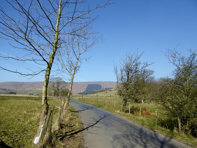
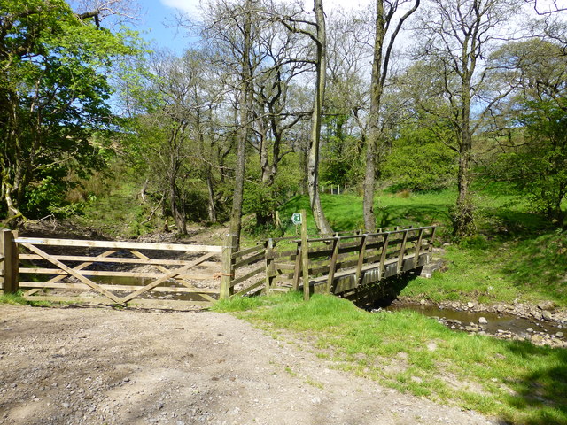
Hell Clough is a picturesque valley located in Lancashire, England. Situated in the heart of the Rossendale Valley, it is known for its breathtaking natural beauty and tranquil atmosphere. The name "Hell Clough" might initially evoke images of a place with infernal characteristics, but it is simply derived from the Old English word "hel," meaning a hidden or secluded place.
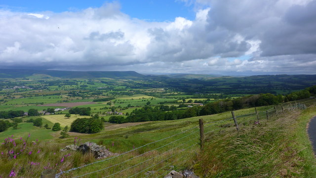
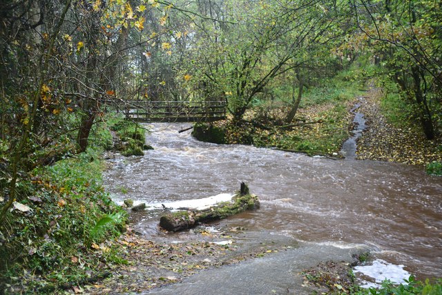
Surrounded by rolling hills and lush greenery, Hell Clough is a haven for nature lovers and outdoor enthusiasts. The valley is adorned with a diverse range of flora and fauna, including native species such as oak, birch, and hawthorn trees, as well as various bird species like wrens and thrushes. A gentle stream meanders through the valley, adding to its charm and providing a soothing soundtrack to visitors.
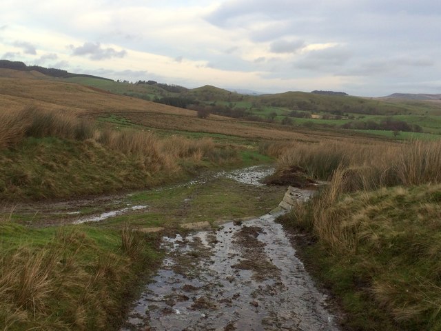
Hell Clough offers several walking trails and pathways, allowing visitors to explore its enchanting landscapes. The trails showcase the valley's idyllic scenery, including cascading waterfalls, babbling brooks, and wildflower meadows. Nature enthusiasts can also spot occasional deer or rabbits, further enhancing the experience.
The tranquility of Hell Clough makes it an ideal destination for those seeking solace and a break from the hustle and bustle of urban life. Whether hiking, picnicking, or simply immersing oneself in nature, this serene valley offers a rejuvenating escape. With its captivating beauty and peaceful ambiance, Hell Clough is a hidden gem in Lancashire that continues to enchant visitors with its natural splendor.
If you have any feedback on the listing, please let us know in the comments section below.
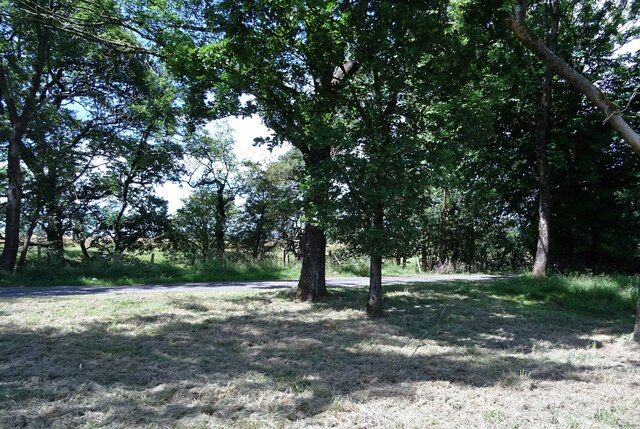
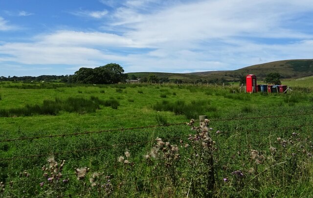
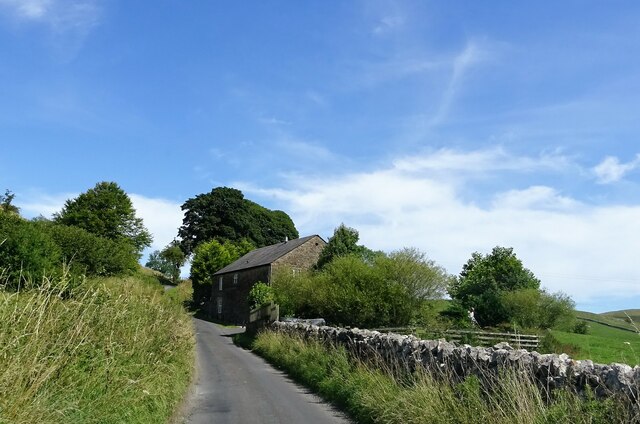
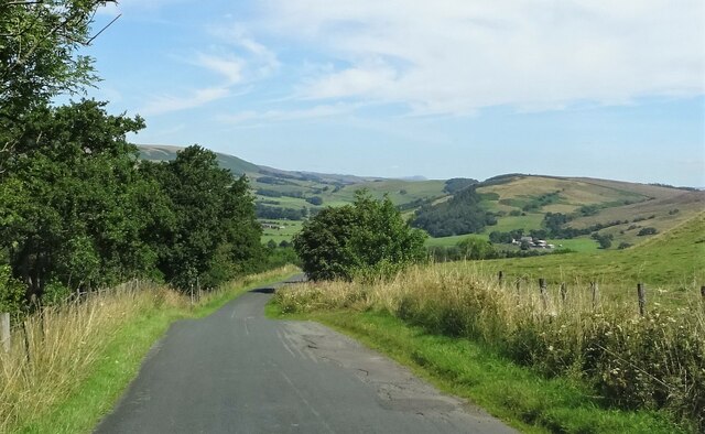
Hell Clough Images
Images are sourced within 2km of 53.917021/-2.5591626 or Grid Reference SD6346. Thanks to Geograph Open Source API. All images are credited.


Hell Clough is located at Grid Ref: SD6346 (Lat: 53.917021, Lng: -2.5591626)
Administrative County: Lancashire
District: Ribble Valley
Police Authority: Lancashire
What 3 Words
///pizzeria.growl.smelter. Near Longridge, Lancashire
Nearby Locations
Related Wikis

Bowland-with-Leagram
Bowland-with-Leagram is a civil parish in the Ribble Valley district of Lancashire, England, covering part of the Forest of Bowland. According to the census...

Whitewell
Whitewell is a village within the civil parish of Bowland Forest Low and Ribble Valley borough of Lancashire, England. It is in the Forest of Bowland Area...

Whitewell Hotel
Whitewell Hotel is an historic building in the English parish of Bowland Forest Low, Lancashire. It is Grade II listed, built in 1836, and is in sandstone...

Lower Lees Farmhouse
Lower Lees Farmhouse is a historic building in the English parish of Bowland Forest Low, Lancashire. It is Grade II listed, built in 1678, and is a sandstone...
Nearby Amenities
Located within 500m of 53.917021,-2.5591626Have you been to Hell Clough?
Leave your review of Hell Clough below (or comments, questions and feedback).