Kite Clough
Valley in Yorkshire Ribble Valley
England
Kite Clough
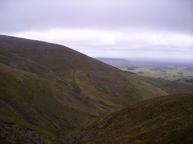
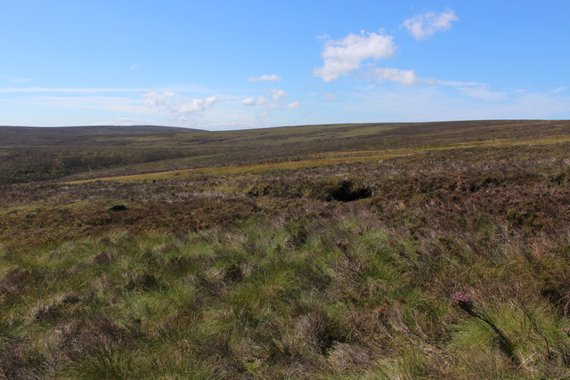
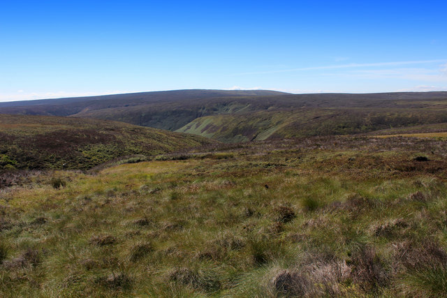
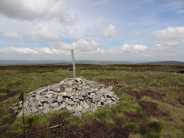
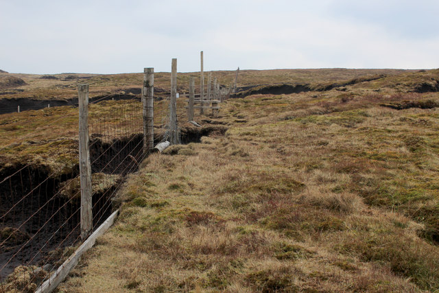
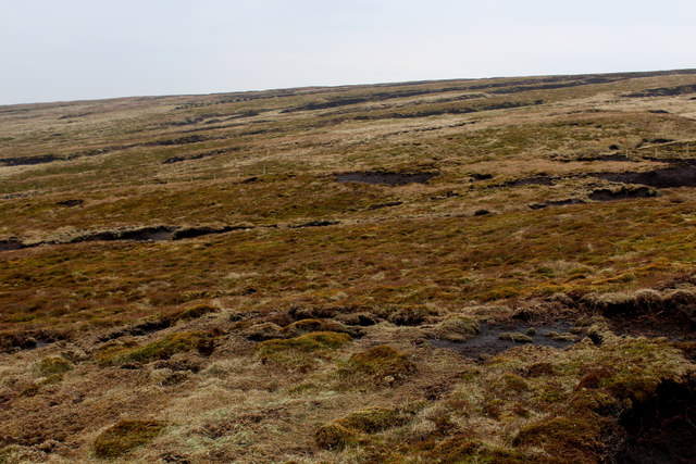
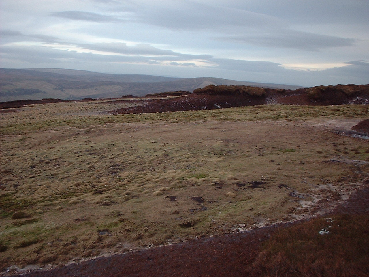
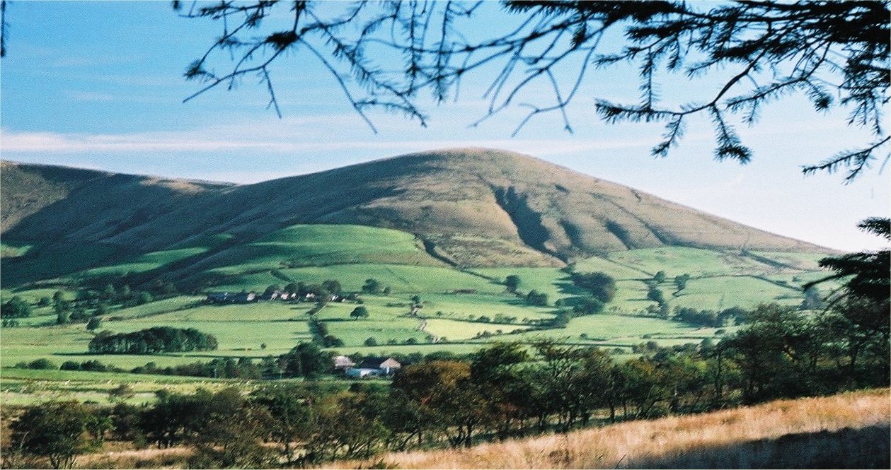
Kite Clough is a picturesque valley located in the Yorkshire Dales, England. Nestled amidst the rolling hills and lush greenery, this tranquil valley offers visitors a serene escape from the bustling city life. With its untouched natural beauty and diverse wildlife, Kite Clough is a haven for nature enthusiasts and outdoor adventurers.
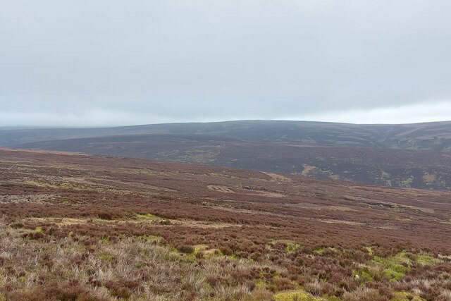
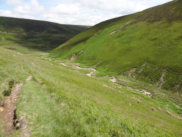
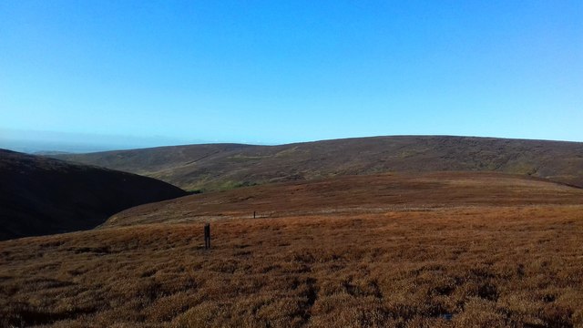
The valley is characterized by its sweeping landscapes, dotted with charming villages and meandering streams. The River Kite flows through the heart of the valley, adding to its scenic allure. The area is renowned for its stunning walking trails, which cater to all levels of fitness and provide breathtaking views of the surrounding countryside.
Wildlife enthusiasts will be delighted by the rich biodiversity found in Kite Clough. The valley is home to a variety of bird species, including the majestic red kite, after which the valley is named. Other notable bird species include buzzards, kestrels, and owls. Additionally, the valley is inhabited by a plethora of mammals, such as foxes, badgers, and deer, which can often be spotted during walks or hikes.
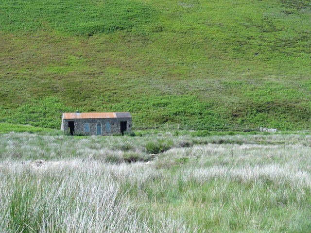
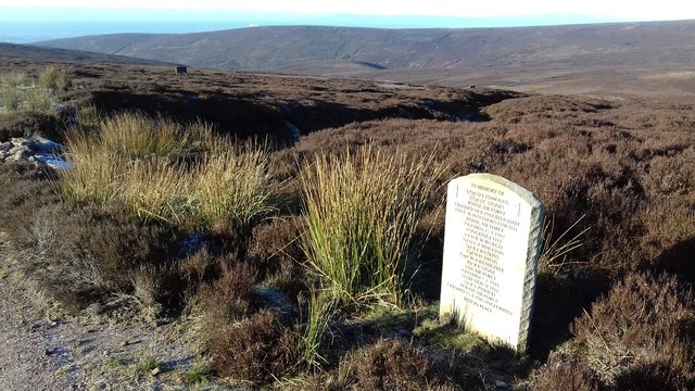
Kite Clough is also steeped in history and boasts several historical landmarks. The remains of an ancient Roman fort can be found in the valley, offering a glimpse into the area's past. Additionally, there are numerous traditional stone-built cottages and farmhouses scattered throughout the valley, adding to its charm and providing visitors with a glimpse of rural Yorkshire life.
Overall, Kite Clough is a hidden gem in the Yorkshire Dales, offering visitors a peaceful retreat and an opportunity to connect with nature. Whether it's exploring the walking trails, observing the diverse wildlife, or immersing oneself in the valley's rich history, Kite Clough has something to offer for everyone.
If you have any feedback on the listing, please let us know in the comments section below.
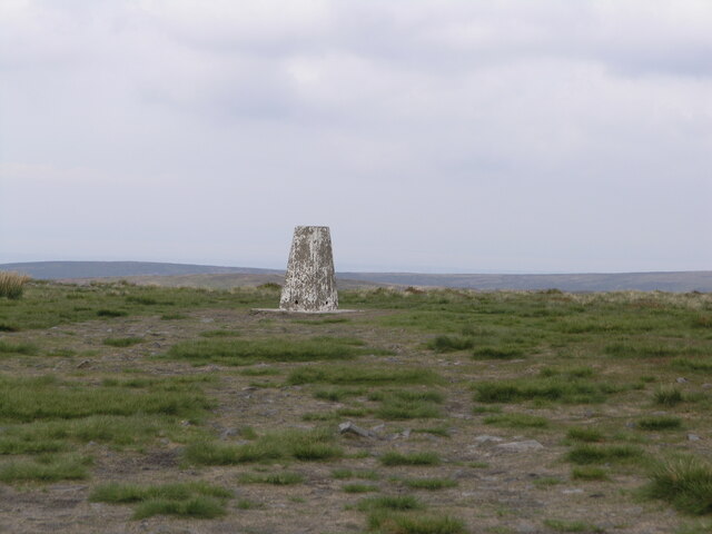
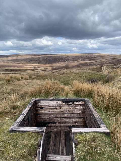
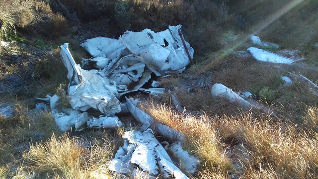
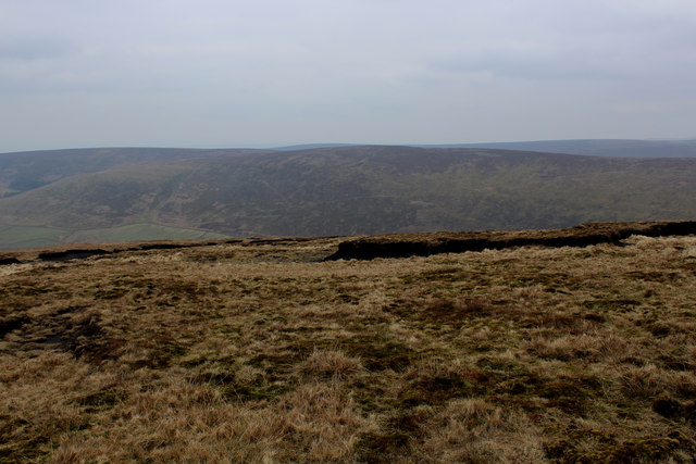
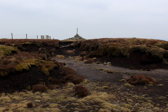
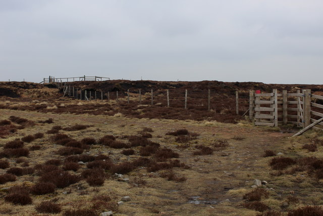
Kite Clough Images
Images are sourced within 2km of 53.9341/-2.6210476 or Grid Reference SD5948. Thanks to Geograph Open Source API. All images are credited.
Kite Clough is located at Grid Ref: SD5948 (Lat: 53.9341, Lng: -2.6210476)
Division: West Riding
Administrative County: Lancashire
District: Ribble Valley
Police Authority: Lancashire
What 3 Words
///foremost.parkland.crass. Near Garstang, Lancashire
Nearby Locations
Related Wikis

Forest of Bowland
The Forest of Bowland, also known as the Bowland Fells and formerly the Chase of Bowland, is an area of gritstone fells, deep valleys and peat moorland...
Hawthornthwaite Fell
Hawthornthwaite Fell is one of the larger hills in the Forest of Bowland in the north west of England. Hawthornthwaite Fell marks the extreme western limit...
Parlick
Parlick (also known as Parlick Pike) is an approximately cone-shaped steep-sided hill at the extreme south of the main range of Bowland fells in Lancashire...

Bleasdale
Bleasdale is a village and civil parish in the Wyre district of Lancashire, England, in the Forest of Bowland Area of Outstanding Natural Beauty. The two...

National nature reserves in Lancashire
National nature reserves in Lancashire in England are established by Natural England. There are two national nature reserves in Lancashire, both of which...

Sykes Smelt Mill
Sykes Smelt Mill was a mediaeval mill located between Sykes and Hareden in Bowland Forest High, Lancashire, England. It stood on the banks of Langden Brook...

Trough of Bowland
The Trough of Bowland is a valley and high pass in the Forest of Bowland Area of Outstanding Natural Beauty, Lancashire, England. The pass, reaching 968...

Grey Stone of Trough
The Grey Stone of Trough is an historic boundary marker in Bowland Forest High, in the Trough of Bowland, Lancashire, England. A Grade II listed structure...
Have you been to Kite Clough?
Leave your review of Kite Clough below (or comments, questions and feedback).