Webster's Meadow

Downs, Moorland in Yorkshire Ribble Valley

England

Webster's Meadow

On Holme House Fell From the steep cloughs in the north eastern corner of the square looking towards Fair Snape Fell. Should be last picture for Hectad SD54.
On Holme House Fell Credit: Michael Graham

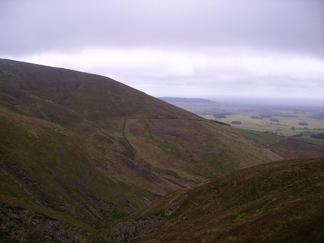
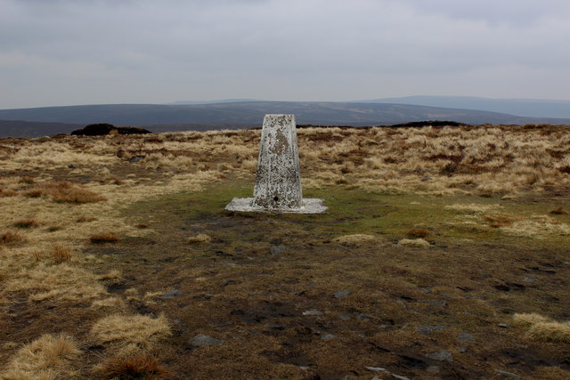
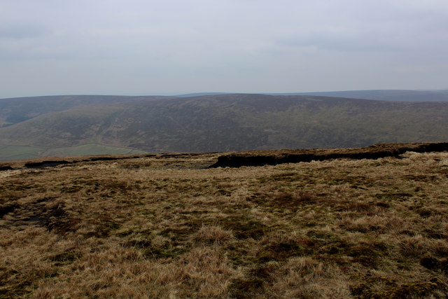
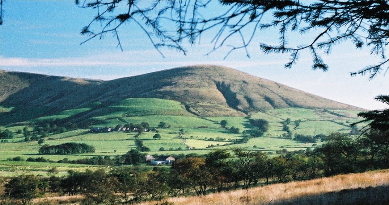
Webster's Meadow, located in Yorkshire, England, is a picturesque landscape encompassing a diverse range of natural features including downs, moorland, and meadows. It is situated in the heart of the Yorkshire countryside, offering breathtaking views and serene surroundings.

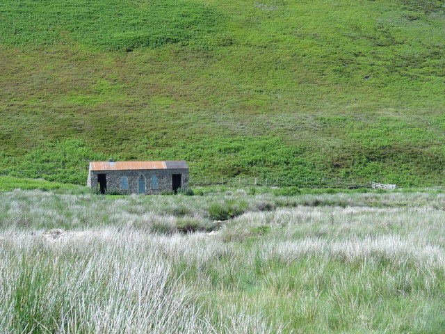
The meadow itself is a vast expanse of lush greenery, dotted with wildflowers and gently swaying grasses. It serves as a habitat for numerous species of flora and fauna, making it a haven for nature enthusiasts and wildlife photographers. Visitors can find themselves immersed in the beauty of the meadow, enjoying the peaceful ambiance and the soothing sounds of birdsong.

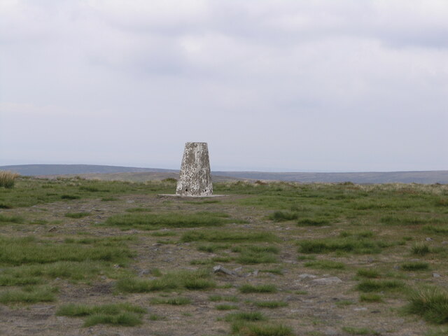
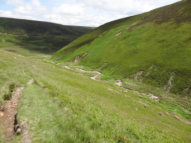
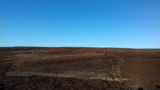
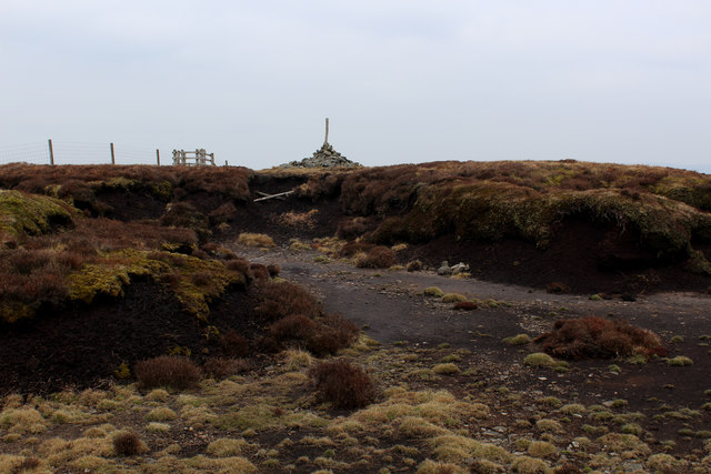
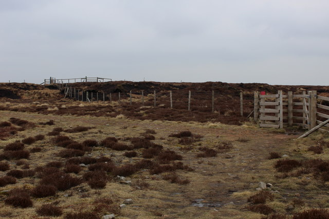
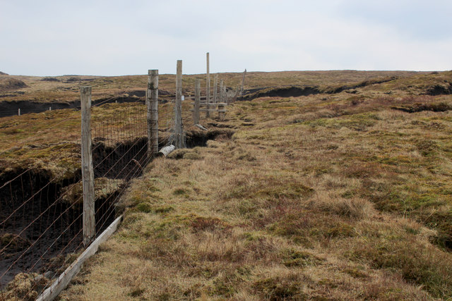
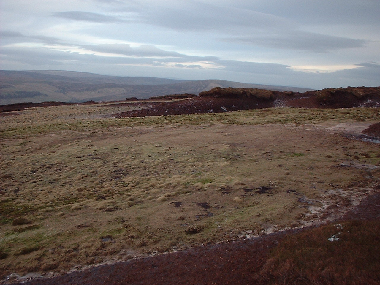
Adjacent to the meadow, the downs provide a hilly terrain that adds a touch of drama to the landscape. These rolling hills, covered in heather and bracken, create a striking contrast against the meadow's verdant flatlands. Hikers and walkers can explore the well-maintained trails that crisscross the downs, offering panoramic vistas of the surrounding countryside.

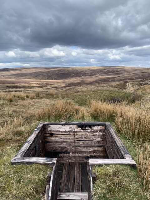
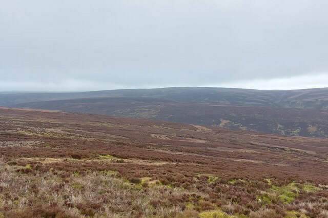
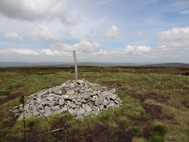
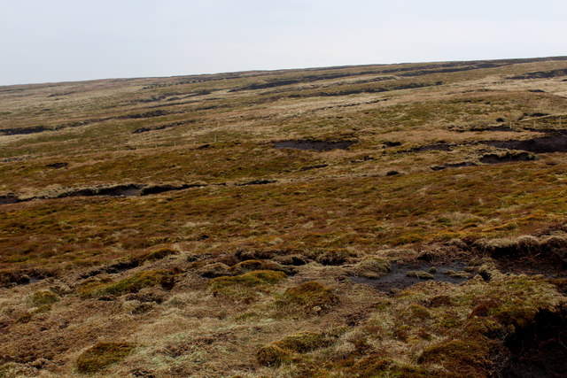
Beyond the downs, the moorland stretches out, showcasing a rugged and untamed beauty. The moors are covered in heather, which transforms the landscape into a purple-hued wonderland during the blooming season. This area is a haven for many rare bird species, making it a popular destination for birdwatchers.

Webster's Meadow, with its diverse natural features, offers visitors a chance to escape the hustle and bustle of city life and immerse themselves in the tranquility of nature. It is a place where one can witness the harmonious coexistence of different ecosystems, providing a unique and truly awe-inspiring experience.

If you have any feedback on the listing, please let us know in the comments section below.

Webster's Meadow Images

Images are sourced within 2km of 53.932085/-2.6178802 or Grid Reference SD5948. Thanks to Geograph Open Source API. All images are credited.

On Holme House Fell From the steep cloughs in the north eastern corner of the square looking towards Fair Snape Fell. Should be last picture for Hectad SD54.
On Holme House Fell
From the steep cloughs in the north eastern corner of the square looking towards Fair Snape Fell. Should be last picture for Hectad SD54.
Fair Snape Fell trig
Dug-in grouse butt One of a series of grouse butts dug into the hillside along the access track. This one had recently been tarred for weatherproofing. These are used during the grouse shooting season from August to December.
Dug-in grouse butt
One of a series of grouse butts dug into the hillside along the access track. This one had recently been tarred for weatherproofing. These are used during the grouse shooting season from August to December.
Looking over the headwater catchment area of the River Calder The south-west corner of the 'Forest of Bowland'
Looking over the headwater catchment area of the River Calder
The south-west corner of the 'Forest of Bowland'
Langden Castle OS map days "Langden Castle (ruin)" but it's not a castle and it's not a ruin.  Probably originally a shooting lodge.  not sure what it's used for now but it's well secured.
Langden Castle
OS map days "Langden Castle (ruin)" but it's not a castle and it's not a ruin. Probably originally a shooting lodge. not sure what it's used for now but it's well secured.
Fiendsdale meanders Fiendsdale Water meanders before it joins Langden Beck.
Fiendsdale meanders
Fiendsdale Water meanders before it joins Langden Beck.
Cairn on the top With views across Bowland towards the Pennines
Cairn on the top
With views across Bowland towards the Pennines
Memorial to Airmen lost on The Bowland Fells
Luddock's Fell
Luddock's Fell
Wreckage of Bristol Blenheim Aircraft This Bristol Blenheim Mk.V BA246 of No.12 (Pilot) Advanced Flying Unit flew into Bleasdale Fell in the Forest of Bowland whilst on a training flight from RAF Woodvale near Southport on the 9th August 1944. The aircraft was undertaking a night training exercise when weather conditions began to worsen. Sometime between 2340 and 2359 hours the aircraft struck the summit of Bleasdale Fell, bursting into flames and killing the pilot and the instructor.
Wreckage of Bristol Blenheim Aircraft
This Bristol Blenheim Mk.V BA246 of No.12 (Pilot) Advanced Flying Unit flew into Bleasdale Fell in the Forest of Bowland whilst on a training flight from RAF Woodvale near Southport on the 9th August 1944. The aircraft was undertaking a night training exercise when weather conditions began to worsen. Sometime between 2340 and 2359 hours the aircraft struck the summit of Bleasdale Fell, bursting into flames and killing the pilot and the instructor.
Summit furnishings on Fair Snape Fell Constructions include Paddy's Pole Cairn, a well built shelter in 4 compartments and the obligatory trig point.
Summit furnishings on Fair Snape Fell
Constructions include Paddy's Pole Cairn, a well built shelter in 4 compartments and the obligatory trig point.
Shelter on Fair Snape Fell Recently rebuilt, this is a substantial shelter and resting spot from the wind, arranged into 4 compartments
Shelter on Fair Snape Fell
Recently rebuilt, this is a substantial shelter and resting spot from the wind, arranged into 4 compartments
Trip Point on Fair Snape Fell
On the Upper Western Flanks of Fair Snape Fell A bleak area of acid moorland, with views towards the south western outposts of the Bowland Fells
On the Upper Western Flanks of Fair Snape Fell
A bleak area of acid moorland, with views towards the south western outposts of the Bowland Fells
Highest Point on Fair Snape Fell This lonely cairn marks the highest point on the Fair Snape Fell plateau, a good kilometre away from the trig point.
Highest Point on Fair Snape Fell
This lonely cairn marks the highest point on the Fair Snape Fell plateau, a good kilometre away from the trig point.
Boundary Fencing on the Fair Snape Fell Plateau
Fence on Fair Snape Fell
Peat Moor Landscape looking towards Holme House Fell Inhospitable landscape on the flanks of Fair Snape Fell
Peat Moor Landscape looking towards Holme House Fell
Inhospitable landscape on the flanks of Fair Snape Fell
Show me another place!

Webster's Meadow is located at Grid Ref: SD5948 (Lat: 53.932085, Lng: -2.6178802)

Division: West Riding

Administrative County: Lancashire

District: Ribble Valley

Police Authority: Lancashire

What 3 Words

///tummy.curving.lecturing. Near Garstang, Lancashire

Related Wikis

Forest of Bowland

The Forest of Bowland, also known as the Bowland Fells and formerly the Chase of Bowland, is an area of gritstone fells, deep valleys and peat moorland...

Hawthornthwaite Fell

Hawthornthwaite Fell is one of the larger hills in the Forest of Bowland in the north west of England. Hawthornthwaite Fell marks the extreme western limit...

Parlick

Parlick (also known as Parlick Pike) is an approximately cone-shaped steep-sided hill at the extreme south of the main range of Bowland fells in Lancashire...

Bleasdale

Bleasdale is a village and civil parish in the Wyre district of Lancashire, England, in the Forest of Bowland Area of Outstanding Natural Beauty. The two...

National nature reserves in Lancashire

National nature reserves in Lancashire in England are established by Natural England. There are two national nature reserves in Lancashire, both of which...

Sykes Smelt Mill

Sykes Smelt Mill was a mediaeval mill located between Sykes and Hareden in Bowland Forest High, Lancashire, England. It stood on the banks of Langden Brook...

Trough of Bowland

The Trough of Bowland is a valley and high pass in the Forest of Bowland Area of Outstanding Natural Beauty, Lancashire, England. The pass, reaching 968...

Grey Stone of Trough

The Grey Stone of Trough is an historic boundary marker in Bowland Forest High, in the Trough of Bowland, Lancashire, England. A Grade II listed structure...

Have you been to Webster's Meadow?

Leave your review of Webster's Meadow below (or comments, questions and feedback).