Well Bottom
Valley in Dorset
England
Well Bottom
Well Bottom is a charming valley located in the county of Dorset, England. Nestled amidst the rolling hills and picturesque countryside, it is known for its natural beauty and peaceful ambiance. The valley is situated near the small village of Wellcombe, just a few miles away from the bustling market town of Bridport.
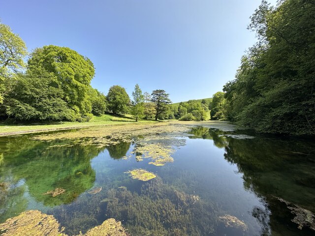
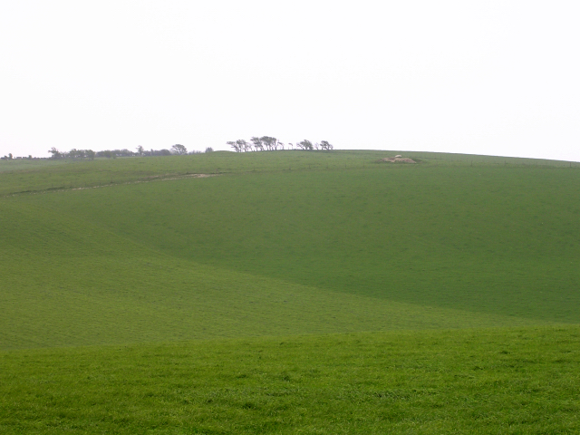
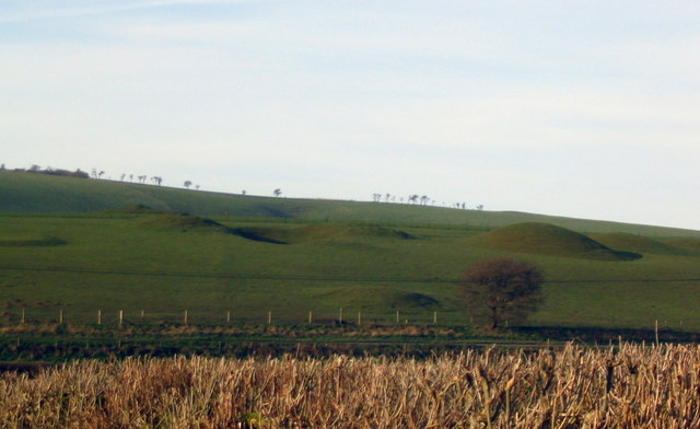
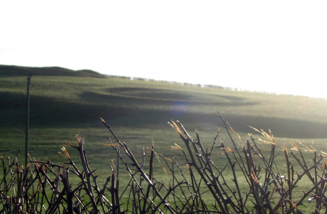
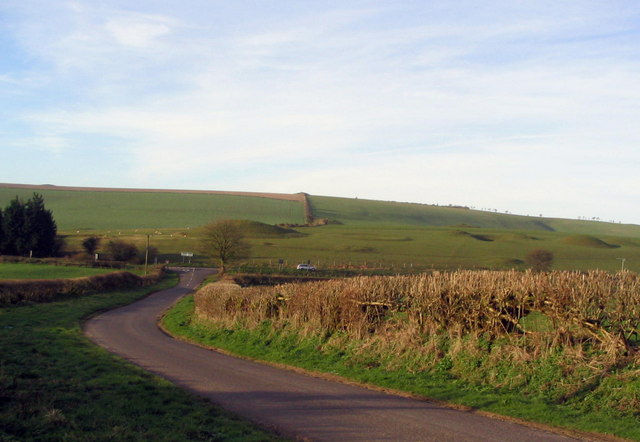
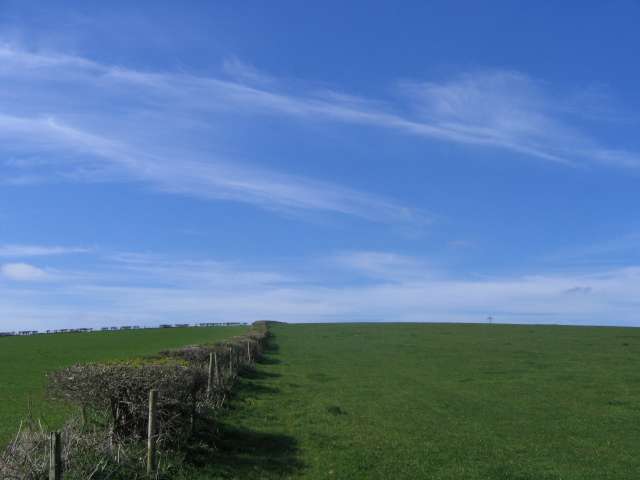
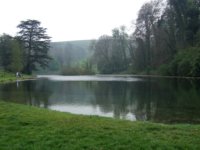
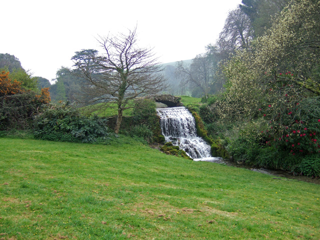
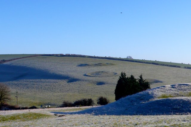
Well Bottom boasts breathtaking scenery, with lush green meadows, dense woodlands, and a meandering stream that runs through its heart. The area is abundant in wildlife, making it a haven for nature enthusiasts and birdwatchers. The valley is also home to a variety of plant species, including rare wildflowers and ancient oak trees.
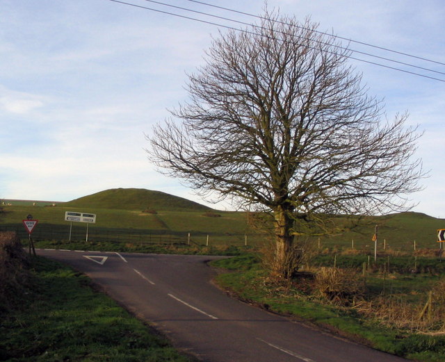
The peacefulness and tranquility of Well Bottom make it an ideal destination for those seeking an escape from the hustle and bustle of city life. The valley is a popular spot for hiking and walking, with several well-marked trails that offer stunning views of the surrounding countryside. Additionally, the stream provides a peaceful setting for picnics and relaxation.
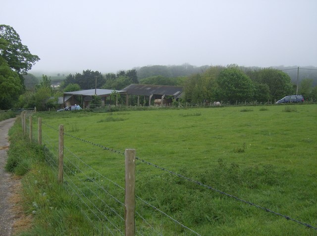
Despite its rural location, Well Bottom is within easy reach of amenities and attractions. The nearby village of Wellcombe offers a range of facilities, including a quaint country pub and a small convenience store. For those in search of more extensive services and entertainment options, the vibrant town of Bridport is just a short drive away.
In summary, Well Bottom, Dorset is a picturesque valley that offers a tranquil retreat in the heart of the English countryside. Its natural beauty, diverse wildlife, and proximity to amenities make it an appealing destination for visitors and locals alike.
If you have any feedback on the listing, please let us know in the comments section below.
Well Bottom Images
Images are sourced within 2km of 50.711261/-2.5774055 or Grid Reference SY5990. Thanks to Geograph Open Source API. All images are credited.


Well Bottom is located at Grid Ref: SY5990 (Lat: 50.711261, Lng: -2.5774055)
Unitary Authority: Dorset
Police Authority: Dorset
What 3 Words
///pictures.jars.budgeted. Near Maiden Newton, Dorset
Nearby Locations
Related Wikis
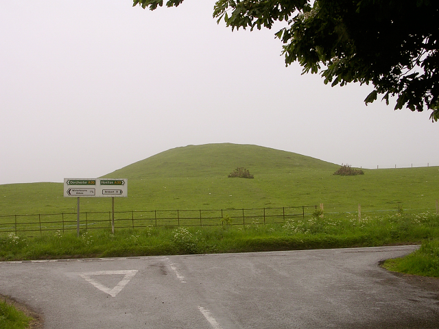
Poor Lot Barrow Cemetery
Poor Lot Barrow Cemetery is an archaeological site, a group of Bronze Age round barrows, near the A35 road about 2 miles (3.2 km) west of Winterbourne...

Pitcombe Down
Pitcombe Down (grid reference SY585897) is a 13.2 hectare biological Site of Special Scientific Interest in Dorset, notified in 1954. == Sources == English...
Littlebredy
Littlebredy (also written Little Bredy, pronounced ) is a small village and civil parish in the English county of Dorset, situated approximately 6.5 miles...

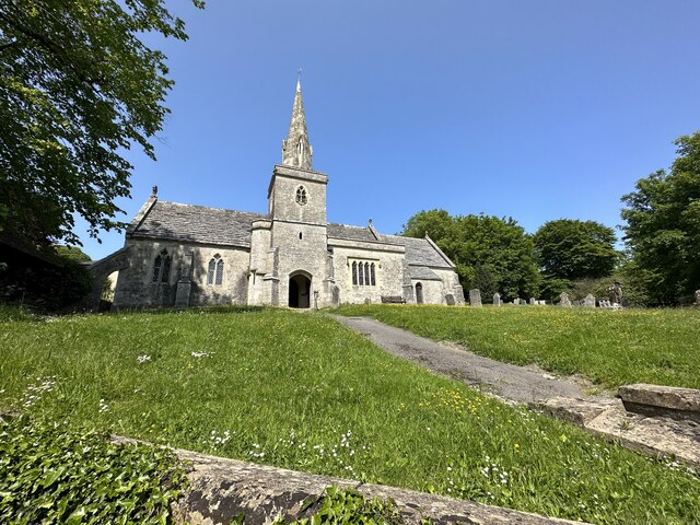
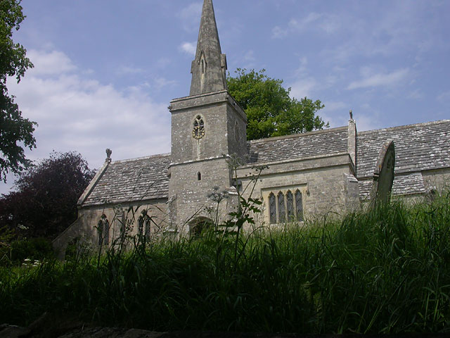
St Michael and All Angels Church, Littlebredy
St Michael and All Angels Church is a Grade II listed Anglican church in the village of Littlebredy, Dorset, England. == History == The tower dates from...
Kingston Russell
Kingston Russell is a settlement and civil parish 7 miles (11 km) west of Dorchester, in the Dorset district, in the county of Dorset, England. In 2001...

Nine Stones, Winterbourne Abbas
The Nine Stones, also known as the Devil's Nine Stones, the Nine Ladies, or Lady Williams and her Dog, is a stone circle located near to the village of...

Kingston Russell House
Kingston Russell House is a large mansion house and manor near Long Bredy in Dorset, England, west of Dorchester. The present house dates from the late...

Long Bredy
Long Bredy is a village and civil parish in the county of Dorset in south-west England, situated approximately 7 miles (11 km) west of the county town...
Nearby Amenities
Located within 500m of 50.711261,-2.5774055Have you been to Well Bottom?
Leave your review of Well Bottom below (or comments, questions and feedback).