Ashy Cleuch

Valley in Roxburghshire

Scotland

Ashy Cleuch

Cairn and mast on the Larriston Fells A hideous and frankly absurdly large concrete roundabout is out of shot to the left.

This photograph was taken during the Coronavirus (COVID-19) pandemic of 2020/21/22.
Cairn and mast on the Larriston Fells Credit: James T M Towill

Ashy Cleuch is a picturesque valley located in the county of Roxburghshire, Scotland. Situated in the southern part of the country, this valley is renowned for its stunning natural beauty and tranquil surroundings. The name "Ashy Cleuch" refers to the stream that runs through the valley and the Gaelic term "cleuch" meaning a narrow gorge or ravine.

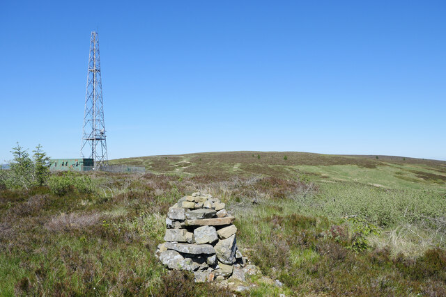
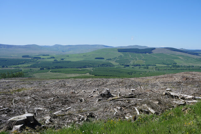
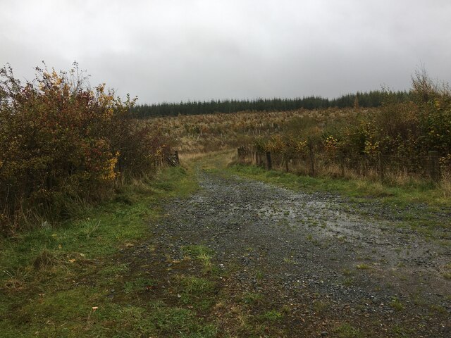
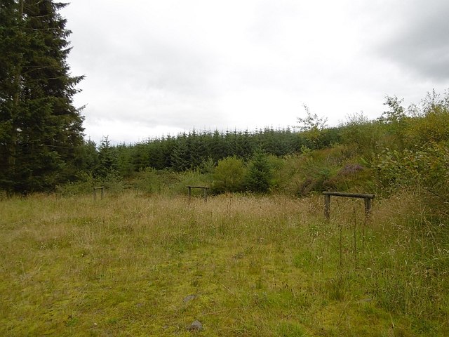
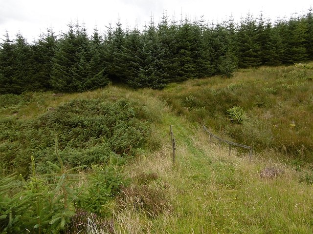
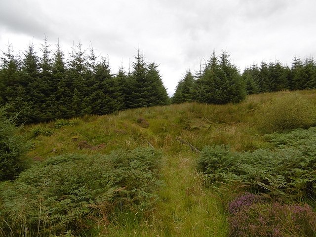
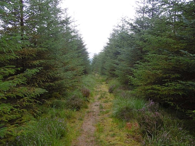
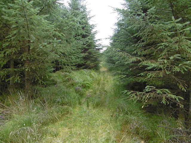
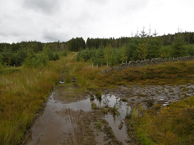
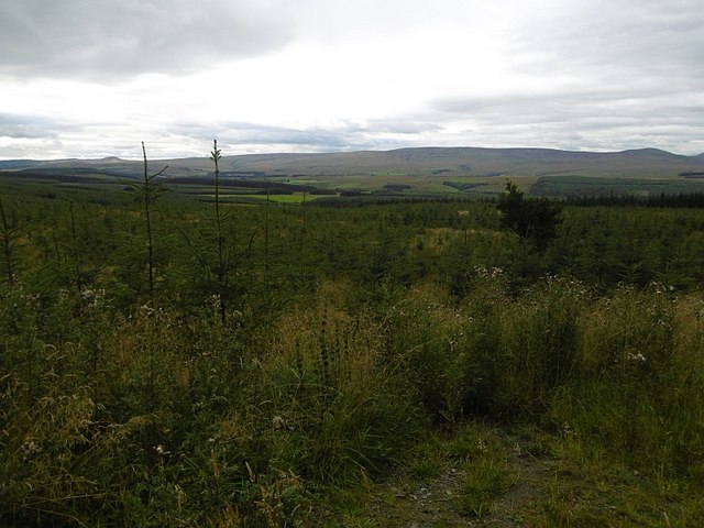
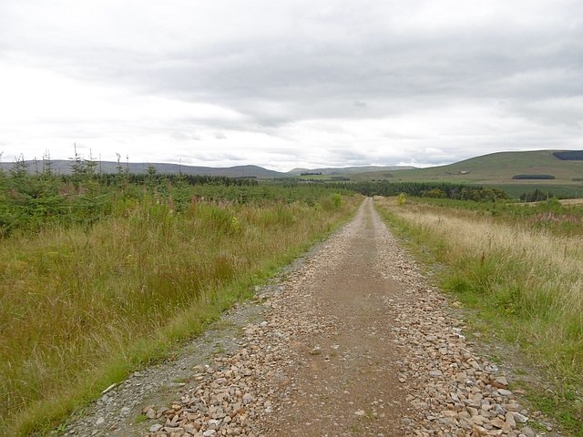
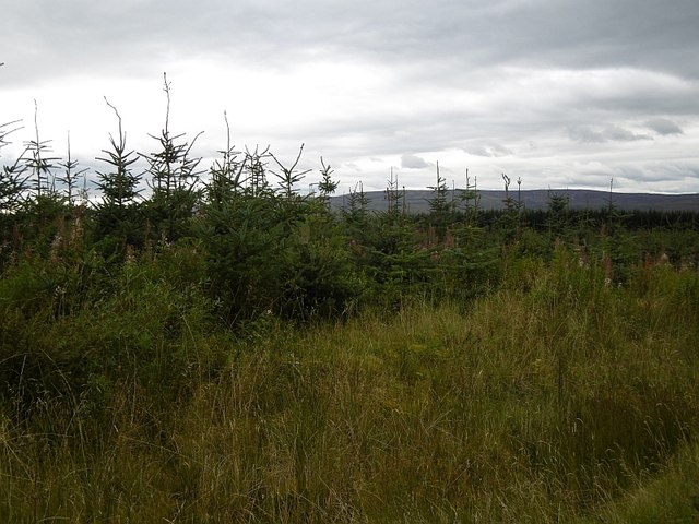
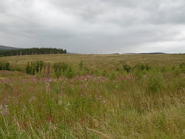
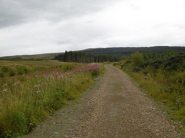
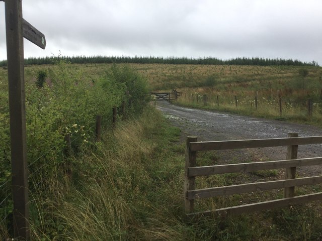
The valley is characterized by its rolling hills, lush green meadows, and dense forests, making it an ideal destination for nature enthusiasts and hikers. The area is home to a diverse range of flora and fauna, including various species of birds, mammals, and wildflowers. The valley also boasts several walking and hiking trails, offering visitors the opportunity to explore the stunning landscapes and enjoy breathtaking views.

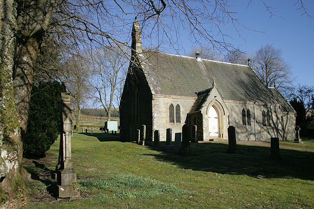
Ashy Cleuch is steeped in history, with evidence of human habitation dating back to ancient times. The valley is dotted with archaeological sites, including standing stones, ancient burial mounds, and remnants of old settlements, providing a glimpse into the area's rich past.

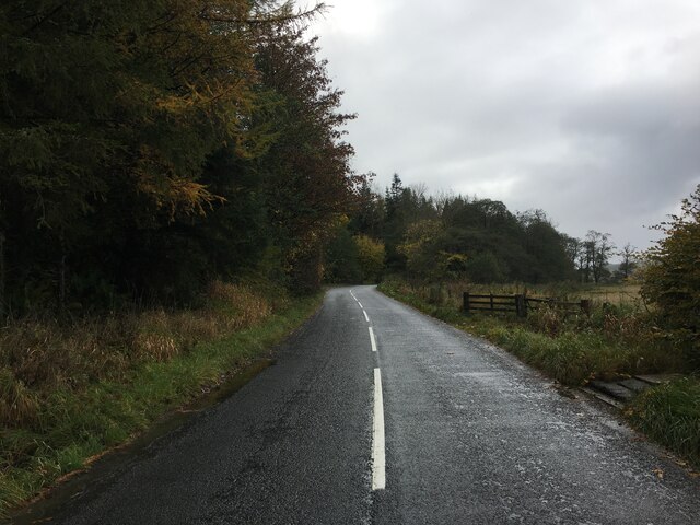
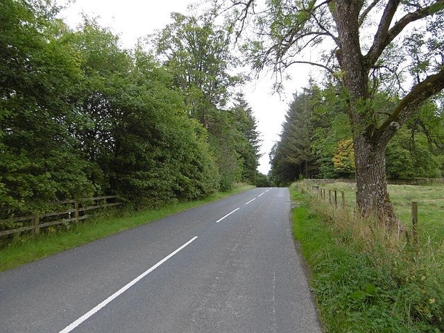
Despite its remote location, Ashy Cleuch is easily accessible, with a well-maintained road leading to the valley. Visitors can also find accommodation options nearby, ranging from cozy country cottages to bed and breakfast establishments, ensuring a comfortable stay.

In conclusion, Ashy Cleuch in Roxburghshire is a hidden gem, offering visitors a chance to escape the hustle and bustle of modern life and immerse themselves in the beauty of nature. With its stunning landscapes, rich history, and peaceful atmosphere, it is a must-visit destination for those seeking a truly tranquil and rejuvenating experience.

If you have any feedback on the listing, please let us know in the comments section below.

Ashy Cleuch Images

Images are sourced within 2km of 55.221591/-2.7112136 or Grid Reference NY5492. Thanks to Geograph Open Source API. All images are credited.

Cairn and mast on the Larriston Fells A hideous and frankly absurdly large concrete roundabout is out of shot to the left.

This photograph was taken during the Coronavirus (COVID-19) pandemic of 2020/21/22.
Cairn and mast on the Larriston Fells
A hideous and frankly absurdly large concrete roundabout is out of shot to the left. This photograph was taken during the Coronavirus (COVID-19) pandemic of 2020/21/22.
Clearfell above Liddesdale Clearfelled forestry encountered heading down from the Larriston Fells.

This photograph was taken during the Coronavirus (COVID-19) pandemic of 2020/21/22.
Clearfell above Liddesdale
Clearfelled forestry encountered heading down from the Larriston Fells. This photograph was taken during the Coronavirus (COVID-19) pandemic of 2020/21/22.
Forestry road near Newcastleton Forest
B6357 towards Newcastleton
Road end, Newcastleton Forest Hitching posts at the road end. These were a cheering sight as it implied that horses pass here and that crossing the gap to the next road could be easy. It is as there is a path from here to the Cross Border Trail and other than a slippery section it is a cracking descent.
Road end, Newcastleton Forest
Hitching posts at the road end. These were a cheering sight as it implied that horses pass here and that crossing the gap to the next road could be easy. It is as there is a path from here to the Cross Border Trail and other than a slippery section it is a cracking descent.
Path, Newcastleton Forest For once there is a path onwards from a dead end forest road to another road. It crosses a couple of feeders of the Boghall Burn and descends on a slimy path to the Cross Border Trail.
Path, Newcastleton Forest
For once there is a path onwards from a dead end forest road to another road. It crosses a couple of feeders of the Boghall Burn and descends on a slimy path to the Cross Border Trail.
Path between roads, Newcastleton For once there is a path onwards from a dead end forest road to another road. It crosses a couple of feeders of the Boghall Burn and descends on a slimy path to the Cross Border Trail.
Path between roads, Newcastleton
For once there is a path onwards from a dead end forest road to another road. It crosses a couple of feeders of the Boghall Burn and descends on a slimy path to the Cross Border Trail.
Path, Newcastleton Forest Between a couple of roads, the path suffers here from being very slippery. I walked and enjoyed seeing the impressions of others' mishaps. Take care here.
Path, Newcastleton Forest
Between a couple of roads, the path suffers here from being very slippery. I walked and enjoyed seeing the impressions of others' mishaps. Take care here.
Path, Long Craig A path in Newcastleton Forest between two forest roads.
Path, Long Craig
A path in Newcastleton Forest between two forest roads.
Old dyke, Newcastleton Forest The boundary of the Forestry Commission owned bit of Newcastleton according to the purple rubbish that ruins Ordnance Survey maps. A path along a ride joins two road ends with another road that runs up to the police mast on Larriston Fells. That road is by the older trees in the background.
Old dyke, Newcastleton Forest
The boundary of the Forestry Commission owned bit of Newcastleton according to the purple rubbish that ruins Ordnance Survey maps. A path along a ride joins two road ends with another road that runs up to the police mast on Larriston Fells. That road is by the older trees in the background.
Newcastleton Forest A replanted block beside the road up to the police radio mast on Larriston Fells.
Newcastleton Forest
A replanted block beside the road up to the police radio mast on Larriston Fells.
Windthrow, Newcastleton Forest
Larriston Fells road A recently resurfaced road serves a privately managed part of Newcastleton Forest and the police mast on Larriston Fells.
Larriston Fells road
A recently resurfaced road serves a privately managed part of Newcastleton Forest and the police mast on Larriston Fells.
Young trees, Newcastleton Forest This <a href="https://www.geograph.org.uk/photo/453172">NY5391 : Forest Road</a> block a few years on.
Young trees, Newcastleton Forest
This NY5391 : Forest Road block a few years on.
Felled and replanted area Newcastleton Forest near Mountain View.
Felled and replanted area
Newcastleton Forest near Mountain View.
Forest road, Newcastleton The road continues to a police radio mast on Larriston Fells.
Forest road, Newcastleton
The road continues to a police radio mast on Larriston Fells.
B6357, Liddesdale Passing the outlet of the road to the police mast on Larriston Fells.
B6357, Liddesdale
Passing the outlet of the road to the police mast on Larriston Fells.
Forest road end Signposted for the border at Bloody Bush, reached after a crossing of the Larriston Fells.
Forest road end
Signposted for the border at Bloody Bush, reached after a crossing of the Larriston Fells.
Show me another place!

Ashy Cleuch is located at Grid Ref: NY5492 (Lat: 55.221591, Lng: -2.7112136)

Unitary Authority: The Scottish Borders

Police Authority: The Lothians and Scottish Borders

What 3 Words

///offers.ruling.articulated. Near Teviothead, Scottish Borders

Nearby Locations

Rain's Hill Ashy Cleuch

Related Wikis

Have you been to Ashy Cleuch?

Leave your review of Ashy Cleuch below (or comments, questions and feedback).