Black Cleuch

Valley in Roxburghshire

Scotland

Black Cleuch

Ordnance Survey Flush Bracket 1436 This can be found on the wall of a private dwelling at Langburnshiels.
For more detail see : <span class="nowrap"><a title="http://www.bench-marks.org.uk/bm1559" rel="nofollow ugc noopener" href="http://www.bench-marks.org.uk/bm1559">Link</a><img style="margin-left:2px;" alt="External link" title="External link - shift click to open in new window" src="https://s1.geograph.org.uk/img/external.png" width="10" height="10"/></span>
Ordnance Survey Flush Bracket 1436 Credit: Peter Wood

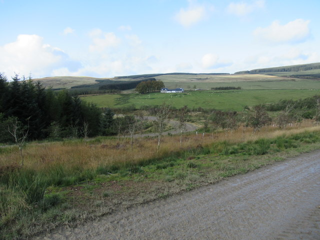
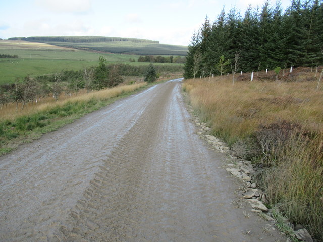
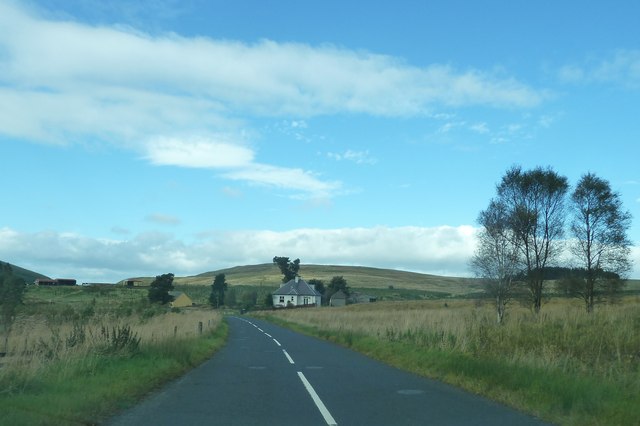
Black Cleuch is a picturesque valley located in Roxburghshire, Scotland. Nestled amidst the rolling hills and stunning countryside, it is a haven of natural beauty. The valley is situated in the southern part of the region, near the village of Roberton.

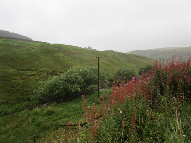
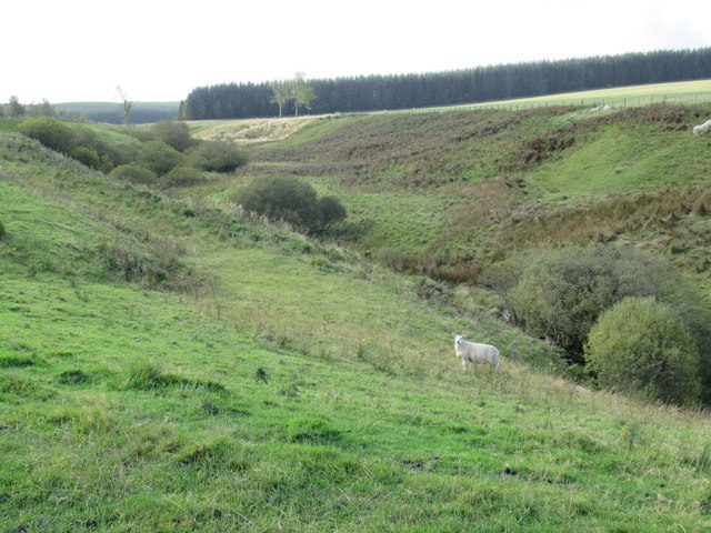
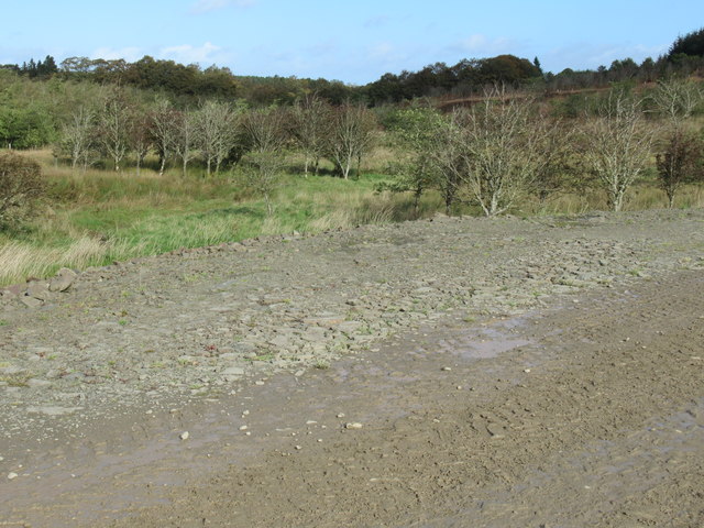
The defining feature of Black Cleuch is the meandering Black Cleuch Burn that flows through it. This small river adds to the charm of the valley, creating a soothing ambiance with its gentle babbling and cascading waterfalls. The valley is also home to a variety of flora and fauna, making it a popular spot for nature enthusiasts and birdwatchers.

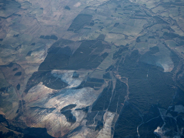
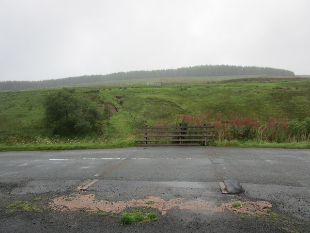
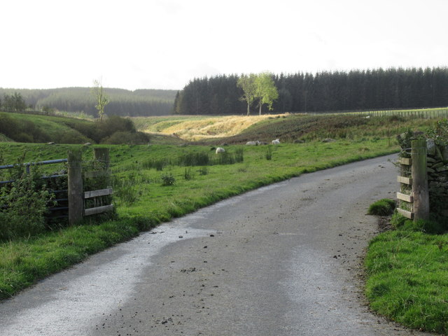
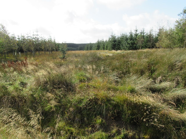
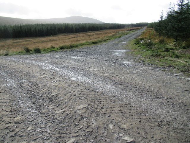
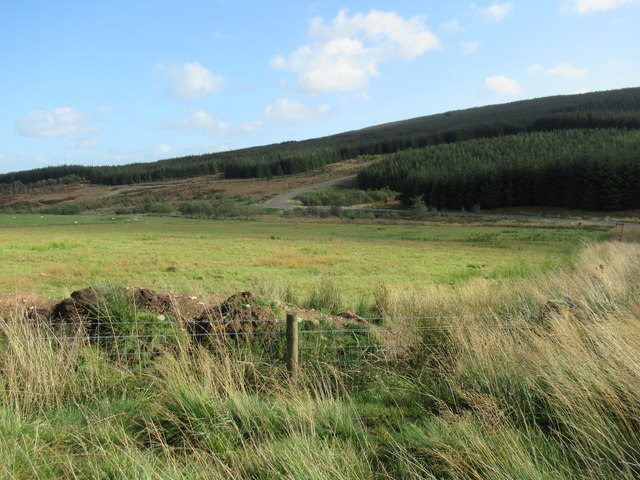
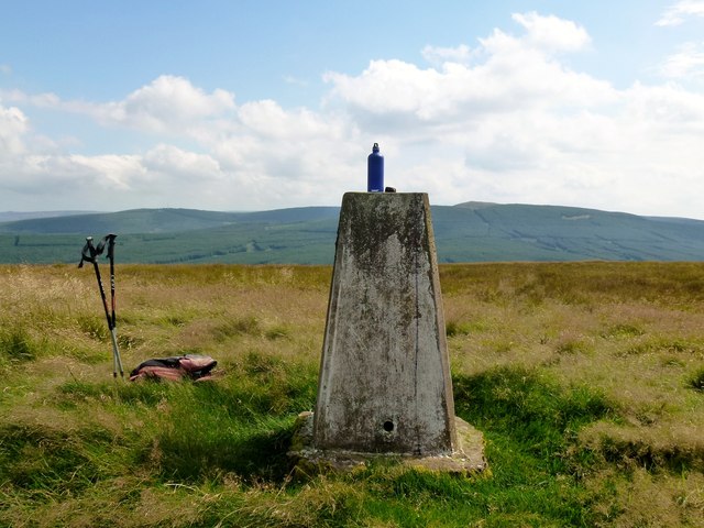
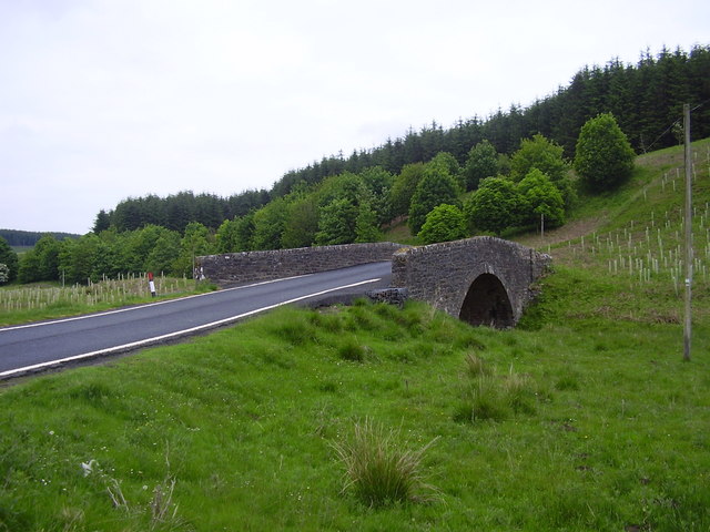
The landscape of Black Cleuch is characterized by lush green meadows, heather-covered hills, and dense woodlands. The surrounding hills provide a stunning backdrop, offering panoramic views of the valley. The area is known for its tranquil atmosphere, making it an ideal destination for those seeking peace and solitude.

Black Cleuch is also steeped in history, with traces of ancient settlements and historical landmarks scattered throughout the valley. The nearby Hermitage Castle, a medieval fortress, is a prominent attraction that draws history enthusiasts from far and wide.

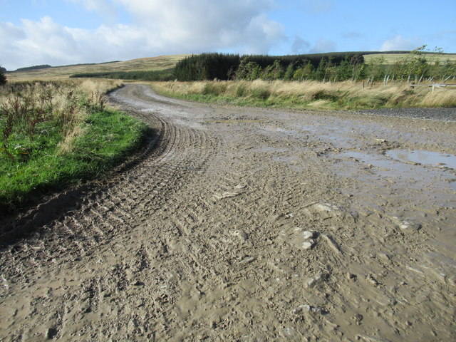
Visitors to Black Cleuch can enjoy a variety of outdoor activities such as hiking, cycling, and fishing. The valley is crisscrossed with numerous walking trails that cater to all levels of fitness, allowing visitors to explore the area at their own pace.

In conclusion, Black Cleuch is a hidden gem in Roxburghshire, offering a serene escape into nature's embrace. Its breathtaking scenery, rich history, and diverse wildlife make it a must-visit destination for anyone seeking a peaceful retreat in the Scottish countryside.

If you have any feedback on the listing, please let us know in the comments section below.

Black Cleuch Images

Images are sourced within 2km of 55.341032/-2.7144406 or Grid Reference NT5405. Thanks to Geograph Open Source API. All images are credited.

Ordnance Survey Flush Bracket 1436 This can be found on the wall of a private dwelling at Langburnshiels.
For more detail see : <span class="nowrap"><a title="http://www.bench-marks.org.uk/bm1559" rel="nofollow ugc noopener" href="http://www.bench-marks.org.uk/bm1559">Link</a><img style="margin-left:2px;" alt="External link" title="External link - shift click to open in new window" src="https://s1.geograph.org.uk/img/external.png" width="10" height="10"/></span>
Ordnance Survey Flush Bracket 1436
This can be found on the wall of a private dwelling at Langburnshiels. For more detail see : LinkExternal link
Lurgies Burn from the air The burn runs between Pike Fell on the left and Templehall Hill on the right.
Lurgies Burn from the air
The burn runs between Pike Fell on the left and Templehall Hill on the right.
Abandoned Cattle grid near Langburnshiels
View down the valley of the Lang Burn
Lurgiescleuch near Hobkirk I hurried on - unsure of which lurgie it was but taking no chances!
Lurgiescleuch near Hobkirk
I hurried on - unsure of which lurgie it was but taking no chances!
Lurgiescleuch road crossing Pines Burn by causeway Beautifully surfaced road all the way to this remote dwelling.
Lurgiescleuch road crossing Pines Burn by causeway
Beautifully surfaced road all the way to this remote dwelling.
Cleugh containing Whisky Sike's waters near Lurgiescleuch in the Scottish Borders
Course of Pines Burn in the Scottish Borders
Bend in new track at Lurgiescleuch near Hobkirk
Break in forestry near Lurgiescleuch
New track near Lurgiescleuch by Hobkirk in the Scottish Borders
New track crossing Lurgies Burn by causeway
In the course of Lurgies Burn above Harwood in the Scottish Borders
New track south side of Lurgies Burn near Hobkirk
Wyndburgh Cottage Another lonely dwelling by the B6399.
Wyndburgh Cottage
Another lonely dwelling by the B6399.
B6399 north of Langburnshiels
Pike Fell Through gate near old cabin. Next gate midway. Found gates at SE end of top field.  Five HuMP on a sunny Sunday in August.
Name: Pike Fell
Hill number: 5126
Height: 400m / 1312ft
Area: 28B: The River Tweed to the English Border
Class: Hu
Grid ref: NT 53490 06361
Summit feature: trig point
Drop: 125m
Col: 275m  NT542047
Pike Fell
Through gate near old cabin. Next gate midway. Found gates at SE end of top field. Five HuMP on a sunny Sunday in August. Name: Pike Fell Hill number: 5126 Height: 400m / 1312ft Area: 28B: The River Tweed to the English Border Class: Hu Grid ref: NT 53490 06361 Summit feature: trig point Drop: 125m Col: 275m NT542047
South West Top Of Pike Fell The view north east to the distant Pike Fell.  The ground here is above 390 metres high.
South West Top Of Pike Fell
The view north east to the distant Pike Fell. The ground here is above 390 metres high.
Show me another place!

Black Cleuch is located at Grid Ref: NT5405 (Lat: 55.341032, Lng: -2.7144406)

Unitary Authority: The Scottish Borders

Police Authority: The Lothians and Scottish Borders

What 3 Words

///hawks.kickbacks.builders. Near Hawick, Scottish Borders

Nearby Locations

Black Cleuch

Related Wikis

Shankend railway station

Shankend railway station served the hamlet of Shankend, Scottish Borders, Scotland from 1862 to 1969 on the Border Union Railway. == History == The station...

Shankend

Shankend Manor was a sixteenth-century mansion located some six miles (ten kilometres) south of Hawick, close to Whitrope Siding in Scotland. It was constructed...

Wauchope, Scottish Borders

Wauchope is a hamlet in the Scottish Borders council area of Scotland, near Southdean. Wauchope House was demolished in 1932. == See also == Wauchope Forest...

Wauchope Forest

Wauchope Forest is a forest on the Rule Water, in the Scottish Borders area of Scotland, south of Hawick, and including the A6088, the A68 and the B6357...
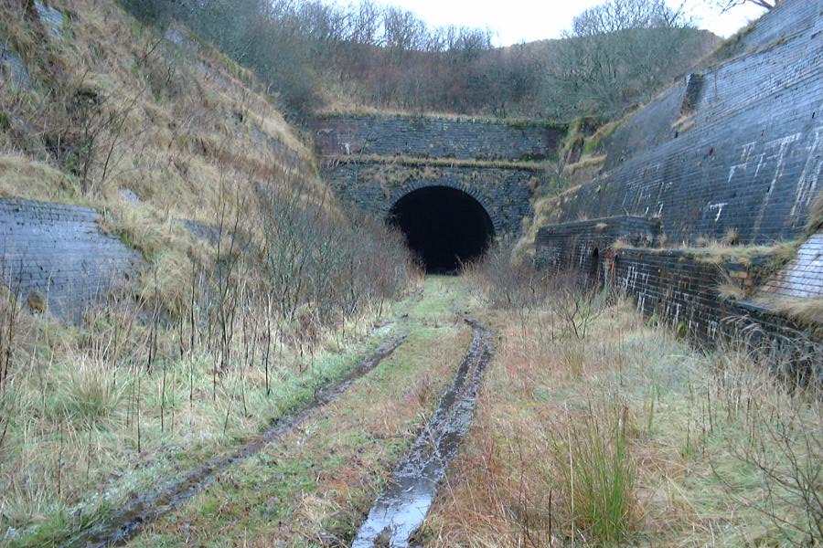
Whitrope Tunnel

The Whitrope Tunnel is a disused railway tunnel in the Scottish Borders, situated 12 miles (19 km) south of Hawick on the Waverley Route, close to Whitrope...

Whitrope

Whitrope is a densely forested, but sparsely populated area, high in the Southern Upland hills in the south central Scottish Borders in the former county...

Maiden Paps (Hawick)

The Maiden Paps are twin hills near Hawick, in the Scottish Borders of the south east of Scotland, so named because they have the shape of human breasts...

Waverley Route Heritage Association

Waverley Route Heritage Association is a heritage railway group involved with the history, heritage and preservation of the Waverley Route, based/centred...

Have you been to Black Cleuch?

Leave your review of Black Cleuch below (or comments, questions and feedback).