Crookdale
Valley in Westmorland Eden
England
Crookdale
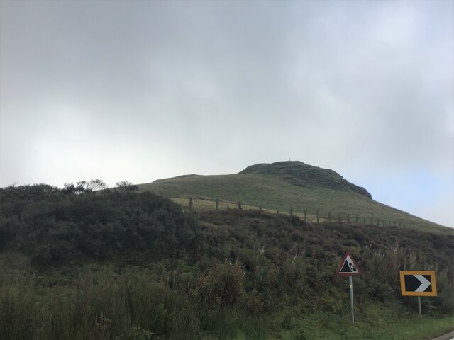
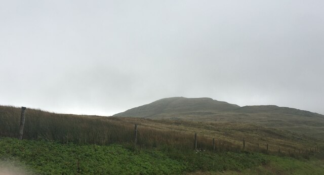
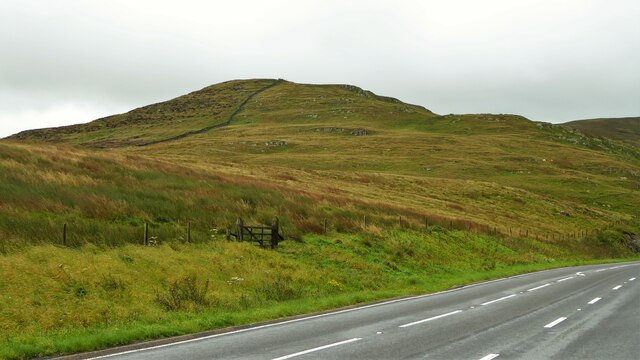
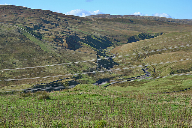
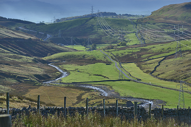
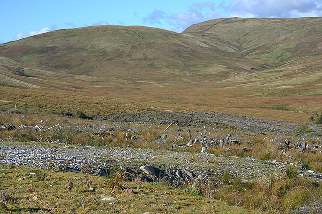
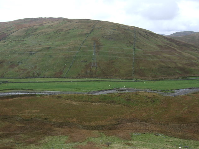
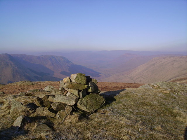
Crookdale is a picturesque valley located in the county of Westmorland, England. Nestled within the stunning landscape of the Lake District National Park, this rural area is renowned for its natural beauty and tranquility. The valley is situated between the fells of Harter Fell and Great Yarlside, offering breathtaking views of rolling hills, lush green meadows, and sparkling streams.
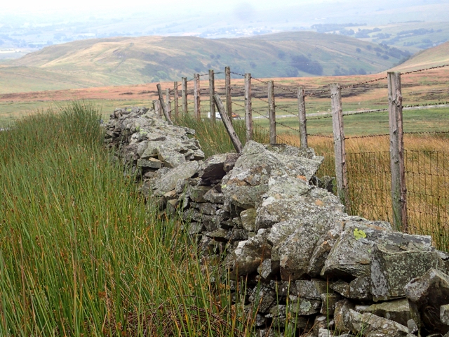
Crookdale is home to a small community of residents, who enjoy the peaceful and idyllic surroundings. The valley is dotted with charming traditional stone-built cottages and farms, adding to its rustic charm. The area is mainly agricultural, with farming playing a significant role in the local economy.
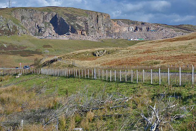
For outdoor enthusiasts, Crookdale provides an abundance of opportunities for recreational activities. Hiking and walking trails are plentiful, allowing visitors to explore the valley and take in its natural wonders. The nearby fells offer more challenging hikes for experienced climbers. The valley is also a haven for wildlife, with a variety of bird species and small mammals inhabiting the area.
In terms of amenities, Crookdale offers limited facilities, with the nearest shops and services located in the nearby town of Shap. However, this lack of commercial development is part of the valley's appeal, as it allows residents and visitors to escape the hustle and bustle of urban life and enjoy a peaceful retreat in nature.
Overall, Crookdale is a hidden gem in the heart of Westmorland, offering a tranquil and unspoiled setting for those seeking solace and natural beauty in the Lake District.
If you have any feedback on the listing, please let us know in the comments section below.
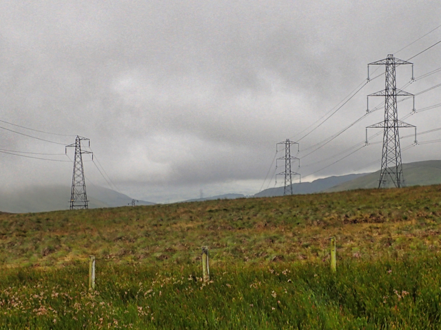
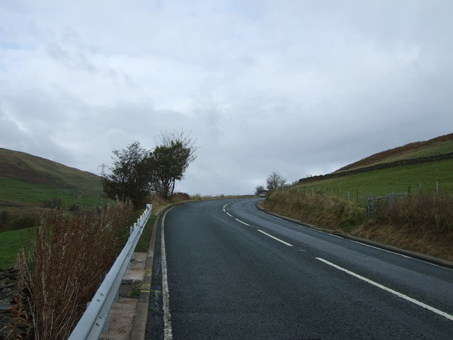
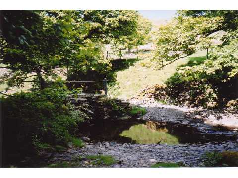
Crookdale Images
Images are sourced within 2km of 54.445424/-2.6973538 or Grid Reference NY5405. Thanks to Geograph Open Source API. All images are credited.


Crookdale is located at Grid Ref: NY5405 (Lat: 54.445424, Lng: -2.6973538)
Administrative County: Cumbria
District: Eden
Police Authority: Cumbria
What 3 Words
///makeovers.hillside.quiz. Near Shap, Cumbria
Nearby Locations
Related Wikis

Crookdale Horseshoe
The Crookdale Horseshoe is a group of hills on the eastern edge of the English Lake District, in Cumbria, west of the A6 road. They are the subject of...

Wasdale Horseshoe
The Wasdale Horseshoe is a group of hills on the eastern fringe of the English Lake District, to the west of the A6, south of Shap, Cumbria. They surround...
Bretherdale Head
Bretherdale Head is a hamlet in Cumbria, England. Meaning "Valley of the Brother", it was referred to as Britherdal in the 12th century. == References ==

Borrowdale, Westmorland
Borrowdale is a valley in the English Lake District. It is located in the county of Westmorland, and is sometimes referred to as Westmorland Borrowdale...

Birkbeck Fells
Birkbeck Fells is a township located in part of the parishes of Crosby Ravensworth, Orton and Shap in the historic county of Westmorland. It is a large...
Winterscleugh
Winterscleugh is a hill of 464 metres (1,522 ft) in Cumbria, England, to the east of the Lake District. It is in the far east of the Lake District National...
Lowbridge Estate
The Lowbridge Estate is a country estate of approximately 2000 acres in the Lake District region of England that was in the continuous ownership of the...

Bannisdale Horseshoe
The Bannisdale Horseshoe is an upland area in Cumbria, England, near the eastern boundary of the Lake District National Park, surrounding the valley of...
Nearby Amenities
Located within 500m of 54.445424,-2.6973538Have you been to Crookdale?
Leave your review of Crookdale below (or comments, questions and feedback).