Rain's Hill
Hill, Mountain in Roxburghshire
Scotland
Rain's Hill
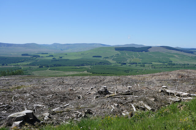
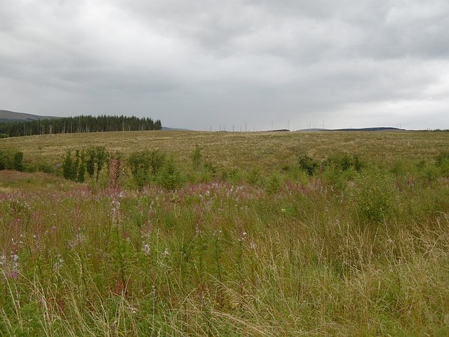
Rain's Hill is a prominent hill located in the county of Roxburghshire in the Scottish Borders region of Scotland. With an elevation of approximately 407 meters (1,335 feet), it is classified as a hill rather than a mountain. Rain's Hill is situated in a rural and picturesque landscape, surrounded by rolling hills and farmlands.
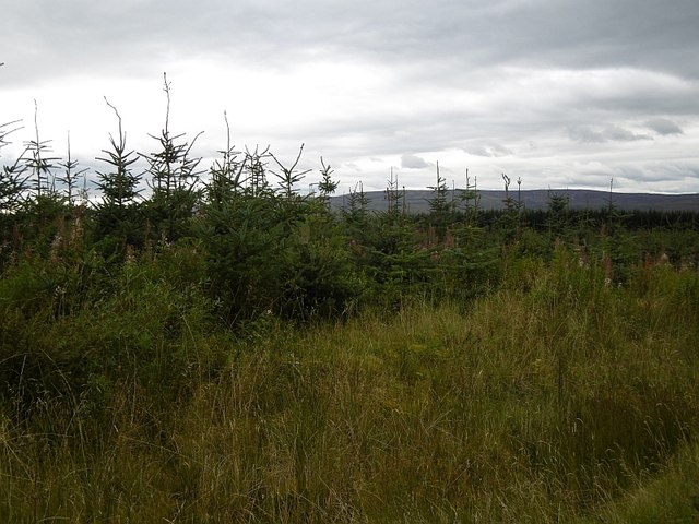
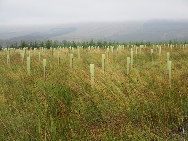
The hill is known for its distinctive shape, resembling a cone with a relatively steep and rocky ascent. It is predominantly covered with grass, heather, and scattered patches of bracken. The vegetation provides habitat for various wildlife species, including birds, small mammals, and insects.
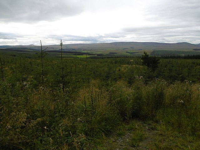
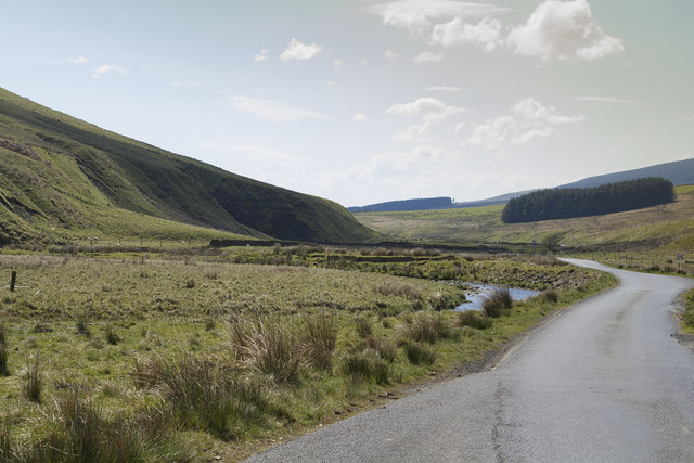
The summit of Rain's Hill offers breathtaking panoramic views of the surrounding countryside, making it a popular destination for hikers and nature enthusiasts. On a clear day, visitors can enjoy vistas of the Cheviot Hills to the south, the Eildon Hills to the northwest, and the Tweed Valley to the northeast.
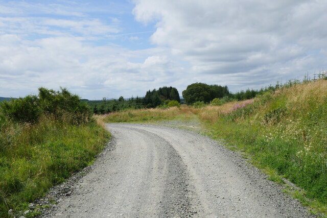
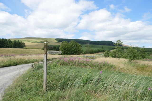
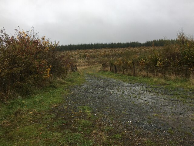
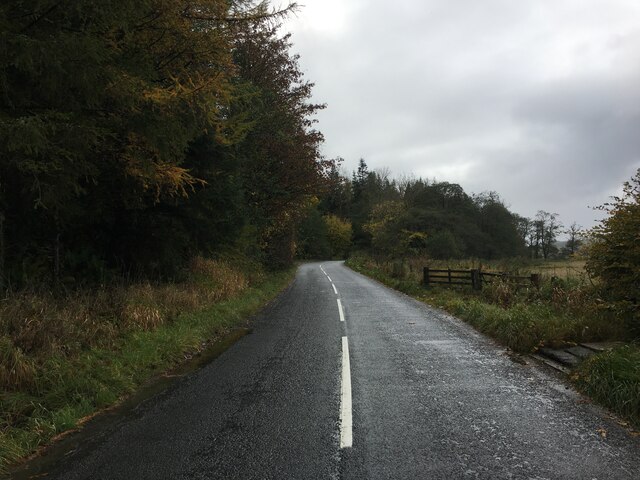
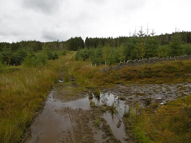
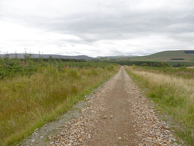
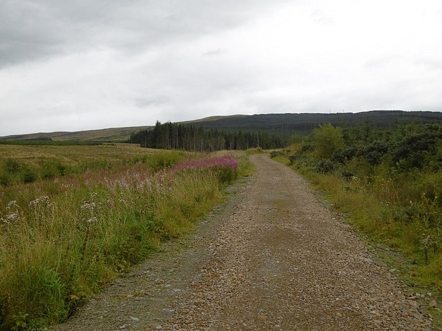
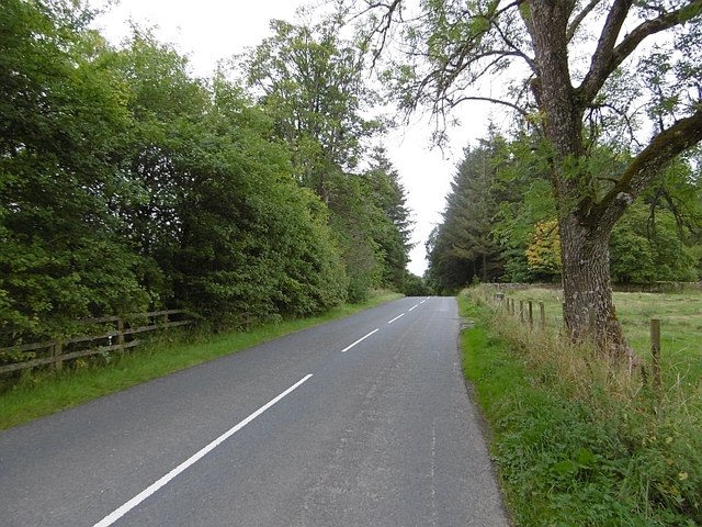
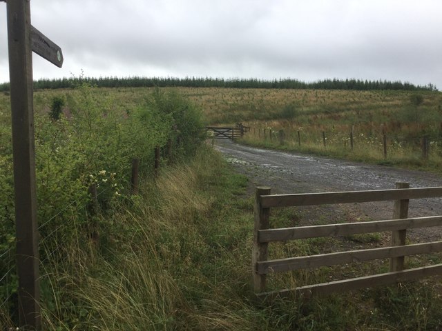
Access to Rain's Hill is relatively easy, with several footpaths leading to its summit. The most common starting point is the nearby village of Denholm, where a well-marked trail begins. The ascent takes roughly an hour, depending on one's fitness level and pace.
Overall, Rain's Hill offers a rewarding outdoor experience, combining natural beauty, tranquility, and the opportunity to explore the scenic countryside of Roxburghshire. Whether for a leisurely walk or a more challenging hike, this hill provides a memorable experience for visitors of all ages.
If you have any feedback on the listing, please let us know in the comments section below.
Rain's Hill Images
Images are sourced within 2km of 55.22686/-2.7184137 or Grid Reference NY5492. Thanks to Geograph Open Source API. All images are credited.


Rain's Hill is located at Grid Ref: NY5492 (Lat: 55.22686, Lng: -2.7184137)
Unitary Authority: The Scottish Borders
Police Authority: The Lothians and Scottish Borders
What 3 Words
///announce.dealings.exonerate. Near Teviothead, Scottish Borders
Nearby Locations
Related Wikis

Dinlabyre
Dinlabyre is a village on the B6357 in Liddesdale, on the edge of the Newcastleton Forest, close to Castleton, in the Scottish Borders area of Scotland...
Steele Road railway station
Steele Road railway station served the hamlet of Steele Road, Scottish Borders, Scotland, from 1862 to 1969 on the Border Union Railway. == History... ==

Hermitage Water
The Hermitage Water is a river in Liddesdale, in the Scottish Borders area of Scotland. Among its many feeder burns are Braidley Burn, Dinley Burn, Gorrenberry...

Liddel Castle
Liddel Castle is a ruined castle in Liddesdale, by the Liddel Water, near Castleton in the Scottish Borders area of Scotland, in the former county of Roxburghshire...
Hermitage, Scottish Borders
Hermitage is a village near Newcastleton, on the B6399, in the Scottish Borders area of Scotland. == See also == List of places in the Scottish Borders...
Saughtree
Saughtree is a hamlet in the Scottish Borders at the junction of the B6357 and an unnamed road from Kielder village in Northumberland, England. It is at...

Riccarton Junction railway station
Riccarton Junction, in the county of Roxburghshire in the Scottish Borders, was a railway village and station. In its heyday it had 118 residents and its...

Ninestane Rig
Ninestane Rig (English: Nine Stone Ridge) is a small stone circle in Scotland near the English border. Located in Roxburghshire, near to Hermitage Castle...
Related Videos

England Scotland Anglo-Scottish border patrol in Kershope Forest to Kielder Forest
Filmed 18th September 2019 A night spent wild camping by Kershope Burn in Kershope Forest which i will be walking along and ...

Trek Rail 9.8 Newcastleton
first day of three days riding, never been here before.
Have you been to Rain's Hill?
Leave your review of Rain's Hill below (or comments, questions and feedback).