Vowles Bottom
Valley in Somerset
England
Vowles Bottom
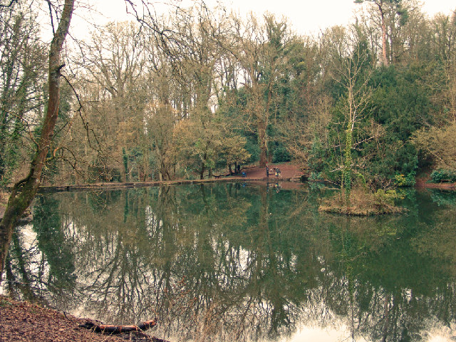
Vowles Bottom is a picturesque valley located in Somerset, England. Nestled amidst rolling hills and verdant landscapes, this small rural community is known for its natural beauty and tranquil atmosphere. The valley is situated in the Mendip Hills, a designated Area of Outstanding Natural Beauty, and is surrounded by lush meadows, ancient woodlands, and bubbling streams.
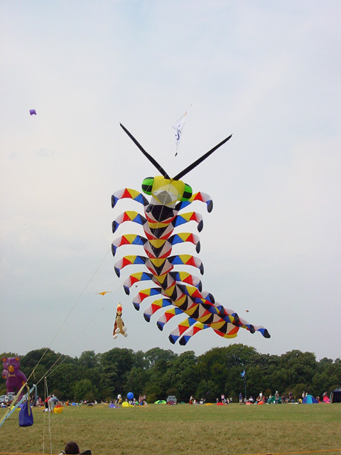
Vowles Bottom is characterized by its idyllic countryside charm, with traditional stone cottages and farmhouses dotting the landscape. The valley is home to a close-knit community, where residents take pride in their rural heritage and strong sense of community spirit. Local events and festivals, such as the annual summer fête and harvest fair, bring together both residents and visitors to celebrate the area's rich cultural traditions.
The valley is also a haven for outdoor enthusiasts, offering a myriad of recreational activities. Hiking and walking trails crisscross the surrounding hills, providing breathtaking views of the Somerset countryside. The nearby Mendip Hills offer opportunities for rock climbing and caving, attracting adventure seekers from far and wide. Additionally, the valley's streams and rivers provide excellent fishing spots for anglers.
Vowles Bottom is conveniently located near several charming market towns, such as Wells and Glastonbury, where visitors can explore historical landmarks, browse local shops, and sample regional cuisine. The area's proximity to the coast also allows for easy access to popular seaside destinations such as Weston-super-Mare and Burnham-on-Sea.
Overall, Vowles Bottom offers a tranquil retreat for those seeking a peaceful countryside experience, with its stunning landscapes, welcoming community, and a range of outdoor activities.
If you have any feedback on the listing, please let us know in the comments section below.
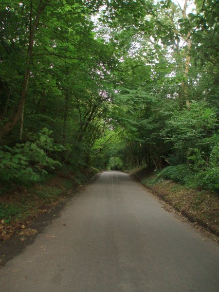
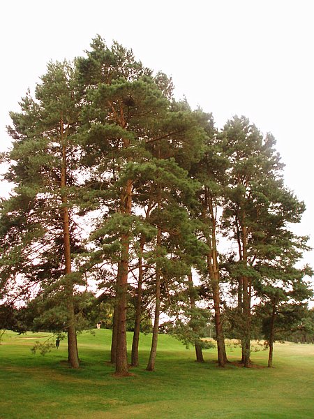
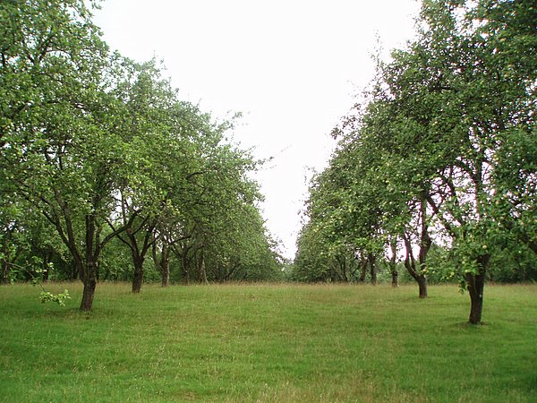
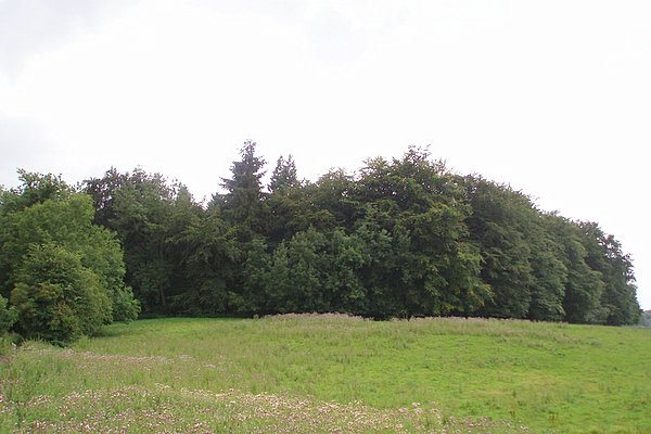
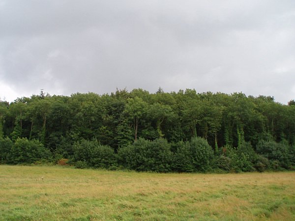
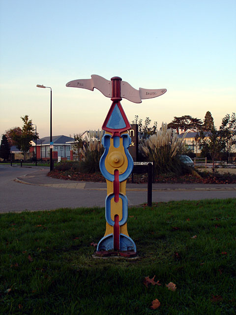
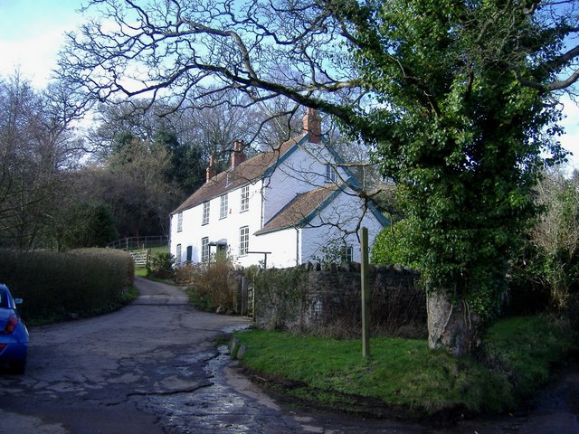
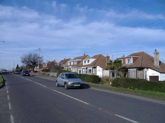
Vowles Bottom Images
Images are sourced within 2km of 51.462543/-2.6716242 or Grid Reference ST5373. Thanks to Geograph Open Source API. All images are credited.


Vowles Bottom is located at Grid Ref: ST5373 (Lat: 51.462543, Lng: -2.6716242)
Unitary Authority: North Somerset
Police Authority: Avon and Somerset
What 3 Words
///crops.grand.object. Near Easton-in-Gordano, Somerset
Related Wikis
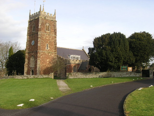
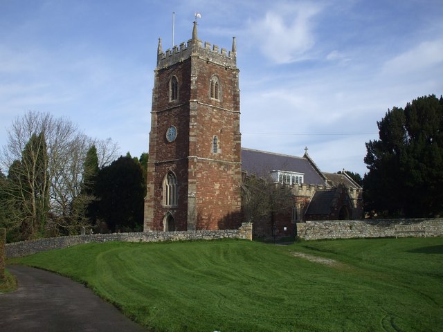
Holy Trinity Church, Abbots Leigh
Holy Trinity Church in Abbots Leigh within the English county of Somerset is a 15th-century Perpendicular Gothic building, restored and partially rebuilt...
Abbots Leigh
Abbots Leigh is a village and civil parish in North Somerset, England, about 3 miles (5 km) west of the centre of Bristol. == History == The original Middle...

Leigh Court
Leigh Court is a country house which is a Grade II* listed building in Abbots Leigh, Somerset, England. The grounds and park are listed, Grade II, on the...

St Katherine's School
St Katherine's School is a co-educational secondary school and sixth form located in the English county of Somerset. Commonly known to be located in Pill...
Ham Green SSSI
Ham Green SSSI (grid reference ST539758) is a 1.1 hectare geological Site of Special Scientific Interest near the village of Ham Green, North Somerset...

Ham Green Halt railway station
Ham Green Halt was a railway station near Bristol, England, on the Portishead Railway, opened in 1926 to serve Ham Green Hospital. == History == The station...

Pill, Somerset
Pill is a village in North Somerset, England, situated on the southern bank of the Avon, about 4 miles (6 km) northwest of Bristol city centre. The village...

Portway, Bristol
The Portway is a major road in the City of Bristol. It is part of the A4 and connects Bristol City Centre to the Avonmouth Docks and the M5 motorway via...
Nearby Amenities
Located within 500m of 51.462543,-2.6716242Have you been to Vowles Bottom?
Leave your review of Vowles Bottom below (or comments, questions and feedback).