Fish Pond Wood

Wood, Forest in Somerset

England

Fish Pond Wood

Old Bristolians Rugby Football Club Another, closer, view of <a href="https://www.geograph.org.uk/photo/7287224">ST5371 : Old Bristolians Rugby Football Club</a>.
Old Bristolians Rugby Football Club Credit: Derek Harper

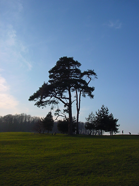
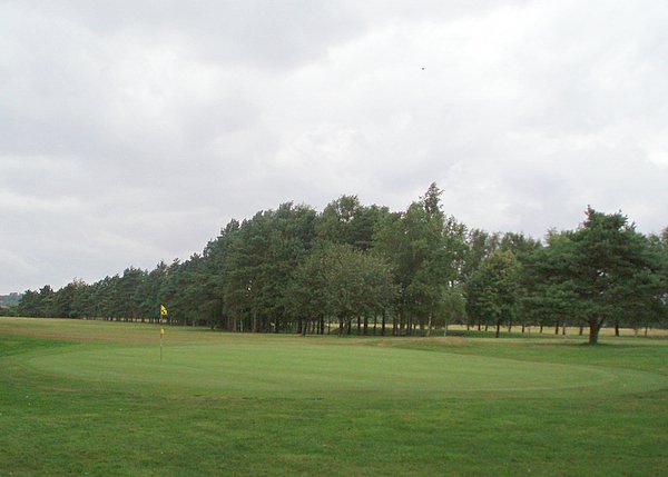
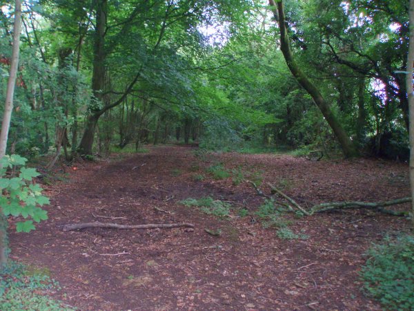
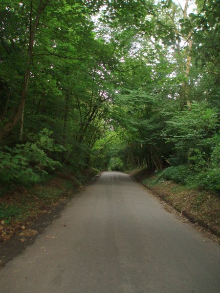
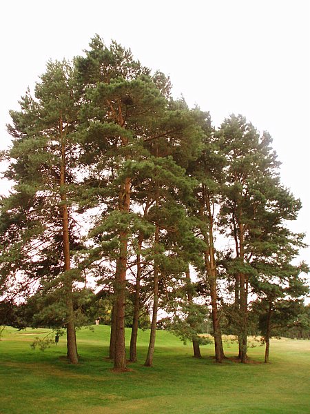
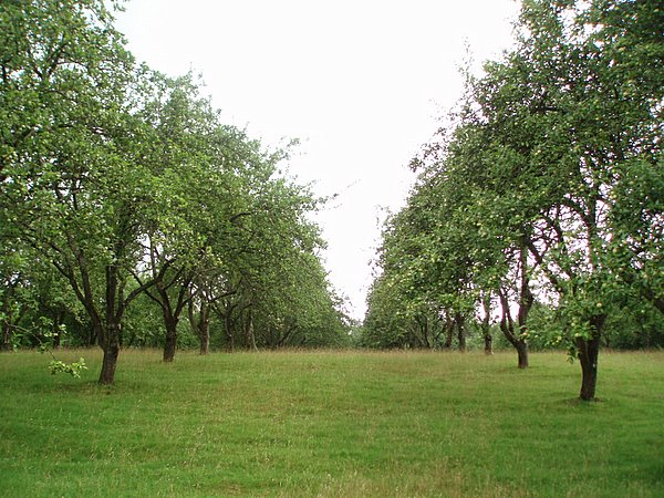
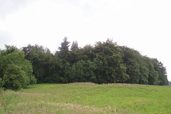
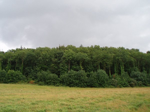
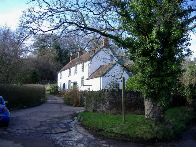
Fish Pond Wood is a small woodland located in Somerset, England. Covering an area of approximately 10 acres, it is known for its natural beauty and diverse wildlife. The wood is situated in a rural setting, surrounded by fields and farmland, providing a tranquil and peaceful environment for visitors.

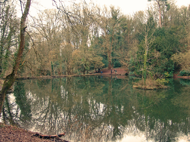
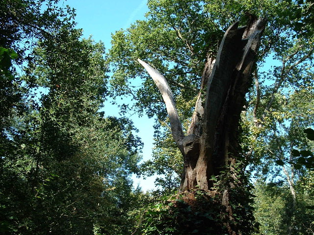
The woodland is predominantly made up of deciduous trees, including oak, ash, and beech, which create a rich and vibrant canopy. The forest floor is covered with a variety of wildflowers and ferns, adding to the overall beauty of the wood. A small stream flows through the woodland, providing a water source for the wildlife that inhabits the area.

Fish Pond Wood is a haven for wildlife enthusiasts, as it is home to a wide range of species. Birds such as woodpeckers, owls, and songbirds can be spotted throughout the year, while mammals like badgers, foxes, and deer are also known to inhabit the wood. The stream supports a diverse population of aquatic life, including various species of fish and amphibians.

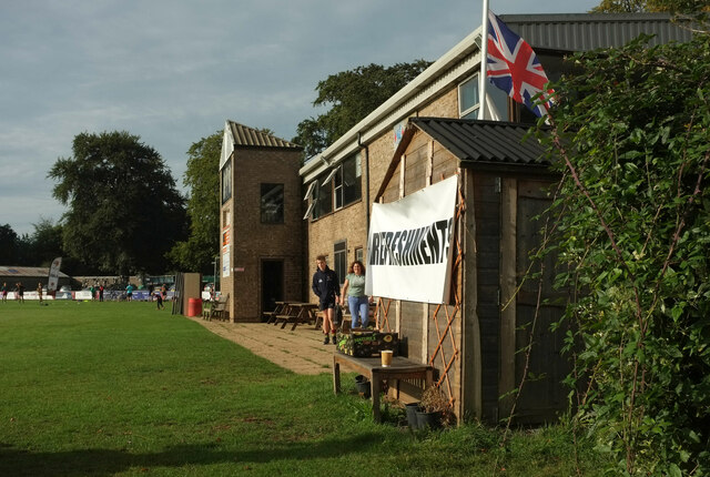
The wood is open to the public and offers several walking trails, allowing visitors to explore and appreciate its natural wonders. The paths wind through the trees, offering glimpses of the wildlife and providing opportunities for photography and birdwatching. There are also designated picnic areas, where visitors can relax and enjoy the peaceful surroundings.

Overall, Fish Pond Wood is a charming woodland that offers a beautiful and serene escape from the hustle and bustle of everyday life.

If you have any feedback on the listing, please let us know in the comments section below.

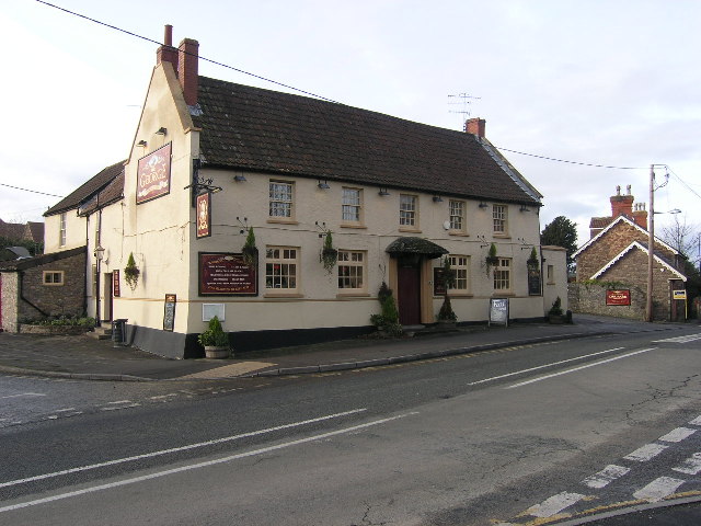
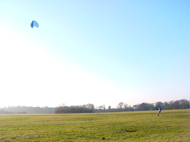
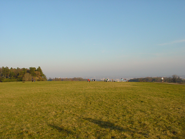
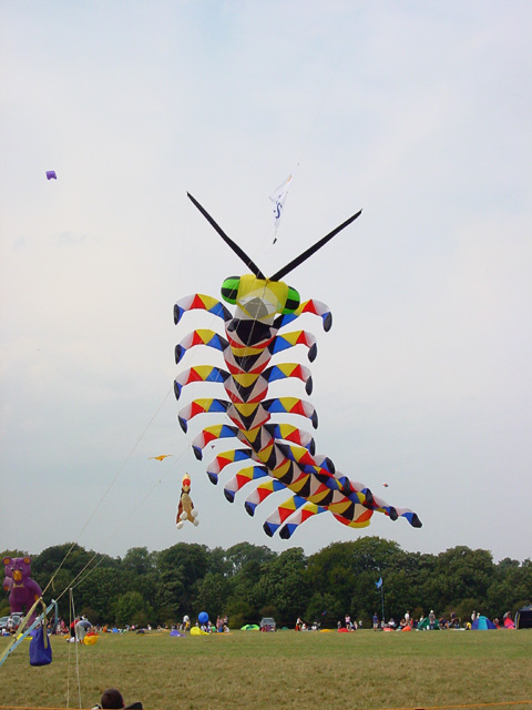
Fish Pond Wood Images

Images are sourced within 2km of 51.456007/-2.6682036 or Grid Reference ST5373. Thanks to Geograph Open Source API. All images are credited.

Old Bristolians Rugby Football Club Another, closer, view of <a href="https://www.geograph.org.uk/photo/7287224">ST5371 : Old Bristolians Rugby Football Club</a>.
Old Bristolians Rugby Football Club
Fish Pond This lake in Fish Pond Wood once provided fish for the divines of Bristol Cathedral.
Fish Pond
This lake in Fish Pond Wood once provided fish for the divines of Bristol Cathedral.
Woodland sculpture In situ sculpture - Making use of the trees in Leigh Woods
Woodland sculpture
In situ sculpture - Making use of the trees in Leigh Woods
Corus Hotel and Fitness Club, Beggar Bush Lane Formerly called Redwood Lodge, a group of rather dull buildings in wonderful countryside!
Corus Hotel and Fitness Club, Beggar Bush Lane
Formerly called Redwood Lodge, a group of rather dull buildings in wonderful countryside!
Abbot's Leigh - The George
Abbot's Leigh Church
Kite flying in Ashton Court Almost always guaranteed a breeze up here so it's a favourite with kite flyers, with both small and big kites, even on very cold days. The estate is owned by Bristol City Council.
Kite flying in Ashton Court
Almost always guaranteed a breeze up here so it's a favourite with kite flyers, with both small and big kites, even on very cold days. The estate is owned by Bristol City Council.
Ashton Court Beyond the people is Bristol seen in the distance (looking east). And just out of sight is part of the golf course.
Ashton Court
Beyond the people is Bristol seen in the distance (looking east). And just out of sight is part of the golf course.
Bristol International Kite Festival, Ashton Court Each September this part of Ashton Court is used for the Bristol International Kite Festival, which has been running for 20 years. The trees in the background run along Beggar Bush Lane.
Bristol International Kite Festival, Ashton Court
Each September this part of Ashton Court is used for the Bristol International Kite Festival, which has been running for 20 years. The trees in the background run along Beggar Bush Lane.
Ashton Court Just by the trees are two golfers playing on the Ashton Court Golf Course in the late afternoon. The trees in the background are bounded by a wall and are marked on the map.
Ashton Court
Just by the trees are two golfers playing on the Ashton Court Golf Course in the late afternoon. The trees in the background are bounded by a wall and are marked on the map.
Bristol and Clifton Golf Course A view of the 8th green and the fairway disappearing off to the left.
Bristol and Clifton Golf Course
A view of the 8th green and the fairway disappearing off to the left.
Wraxall piece An open space within the wooded area called Wraxall piece.
Wraxall piece
An open space within the wooded area called Wraxall piece.
Weir Lane A view looking up Weir Lane (facing south).  Fifty Acre wood is on the left and the Bristol and Clifton golf course on the right.
Weir Lane
A view looking up Weir Lane (facing south). Fifty Acre wood is on the left and the Bristol and Clifton golf course on the right.
Trees A stand of trees near the 12th green on the Bristol and Clifton golf course.
Trees
A stand of trees near the 12th green on the Bristol and Clifton golf course.
Yew Tree Plantation The name of the plantation doesn't match the type of tree.  Evidently Yew Tree Plantation has become an apple orchard.
Yew Tree Plantation
The name of the plantation doesn't match the type of tree. Evidently Yew Tree Plantation has become an apple orchard.
Round Hill Clump A relatively small plantation on top of a small hill.  Taken from a bridleway to the north.
Round Hill Clump
A relatively small plantation on top of a small hill. Taken from a bridleway to the north.
Warren House Plantation
White cottage, Lower Failand An isolated house, set in the folds of a steep sided valley.
White cottage, Lower Failand
An isolated house, set in the folds of a steep sided valley.
Show me another place!

Fish Pond Wood is located at Grid Ref: ST5373 (Lat: 51.456007, Lng: -2.6682036)

Unitary Authority: North Somerset

Police Authority: Avon and Somerset

What 3 Words

///parent.ashes.full. Near Long Ashton, Somerset

Related Wikis

Abbots Leigh

Abbots Leigh is a village and civil parish in North Somerset, England, about 3 miles (5 km) west of the centre of Bristol. == History == The original Middle...

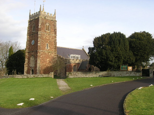
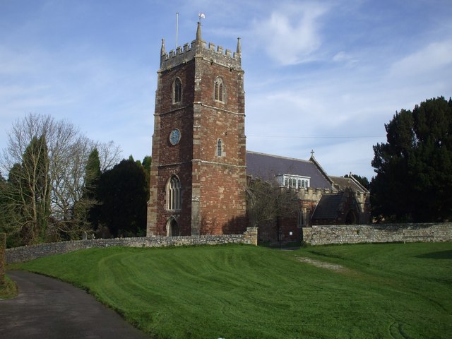
Holy Trinity Church, Abbots Leigh

Holy Trinity Church in Abbots Leigh within the English county of Somerset is a 15th-century Perpendicular Gothic building, restored and partially rebuilt...

Leigh Court

Leigh Court is a country house which is a Grade II* listed building in Abbots Leigh, Somerset, England. The grounds and park are listed, Grade II, on the...

Gane Pavilion

The Gane Pavilion, also known as Gane's Pavilion, the Gane Show House and the Bristol Pavilion, was a temporary building designed by the modernist architect...

Ashton Court

Ashton Court is a mansion house and estate to the west of Bristol in England. Although the estate lies mainly in North Somerset, it is owned by the City...

Wraxall Camp

Wraxall Camp, or Failand Camp, is a small round earthwork in Somerset. The remains are indistinct and thickly covered by woods, but it appears to have...

Bristol City W.F.C.

Bristol City Women's Football Club is a women's association football team from the city of Bristol. Formed in 1998 as Bristol Rovers W.F.C., they were...

St Katherine's School

St Katherine's School is a co-educational secondary school and sixth form located in the English county of Somerset. Commonly known to be located in Pill...

Nearby Amenities

Located within 500m of 51.456007,-2.6682036
Kerb: no
Lat/Long: 51.4577242/-2.6654915
Abbots Pool And Woodland
Board Type: nature
Information: board
Tourism: information
Lat/Long: 51.456596/-2.6694309
Natural: cave_entrance
Lat/Long: 51.4564788/-2.6688355
Barrier: kissing_gate
Lat/Long: 51.4573331/-2.6679697
Post Box
Collection Times: Mo-Fr 09:00; Sa 07:00
Operator: Royal Mail
Ref: BS8 341
Royal Cypher: EIIR
Royal Cypher Wikidata: Q33102113
Lat/Long: 51.4594452/-2.6689225
Waterway: waterfall
Lat/Long: 51.4567262/-2.6691212
Waterway: waterfall
Lat/Long: 51.4567028/-2.6691125
Waterway: waterfall
Lat/Long: 51.4566088/-2.6691661
Waterway: waterfall
Lat/Long: 51.4565574/-2.6691983
Leisure: picnic_table
Lat/Long: 51.4567387/-2.6690166
Leisure: picnic_table
Lat/Long: 51.4567997/-2.6690997
Bicycle Parking
Lat/Long: 51.4543789/-2.666931
Man Made: water_well
Pump: Snake's Well
Lat/Long: 51.4552471/-2.6731177
The data included in this document is from www.openstreetmap.org. The data is made available under ODbL.

Have you been to Fish Pond Wood?

Leave your review of Fish Pond Wood below (or comments, questions and feedback).