Aldery Cleuch

Valley in Roxburghshire

Scotland

Aldery Cleuch

B6357 approaching Newcastleton
B6357 approaching Newcastleton Credit: Steven Brown

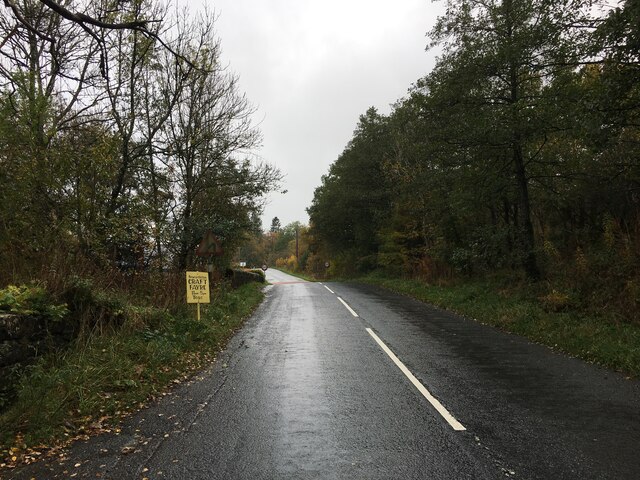
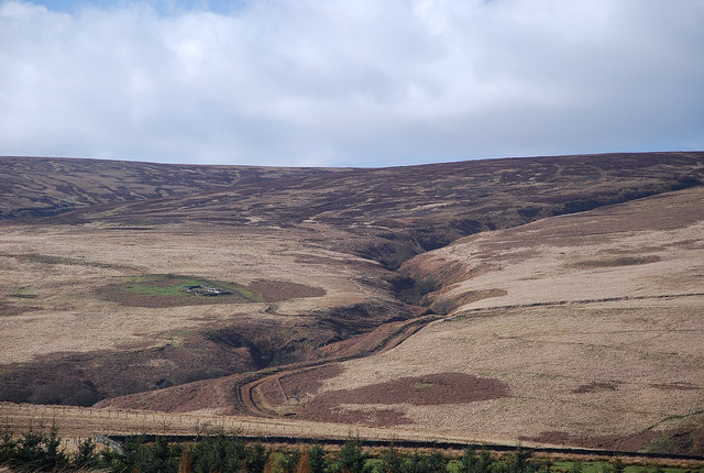
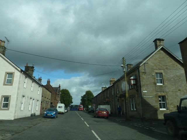
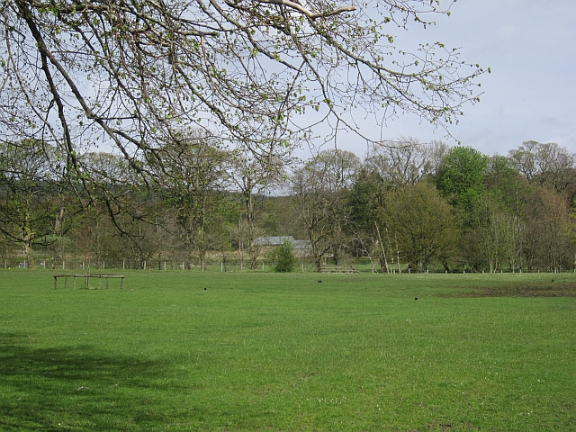
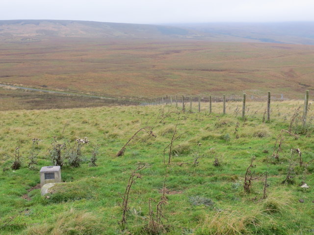
Aldery Cleuch is a picturesque valley located in the county of Roxburghshire, Scotland. Nestled amidst the rolling hills of the Scottish Borders, this valley is renowned for its stunning natural beauty and tranquil surroundings.

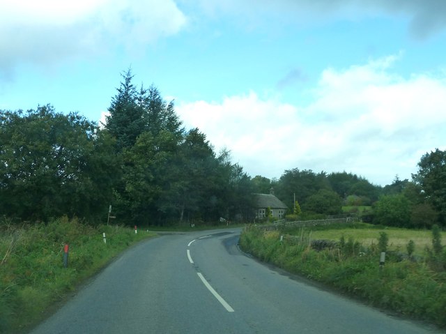
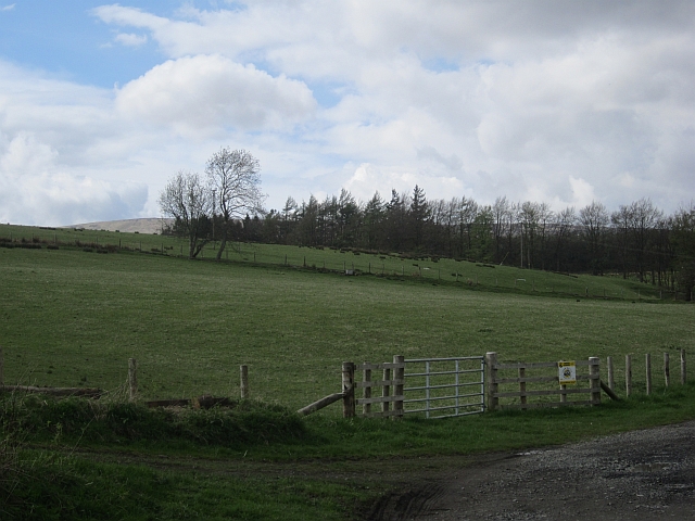
The valley of Aldery Cleuch is characterized by its lush green meadows, sparkling streams, and dense woodlands, making it an ideal destination for nature lovers and outdoor enthusiasts. The area is home to a diverse range of flora and fauna, including rare plant species and various bird species, making it an important site for conservation efforts.

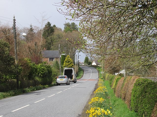
The valley is surrounded by a network of hiking trails and footpaths, allowing visitors to explore its scenic landscape and revel in its peaceful ambience. The trails offer breathtaking views of the surrounding countryside, with opportunities for wildlife spotting and birdwatching along the way.

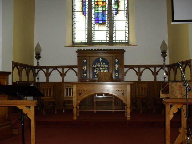
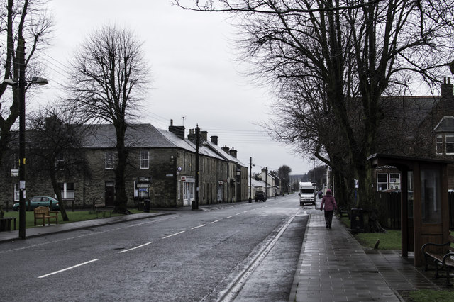
Aldery Cleuch is also steeped in history, with ancient ruins and archaeological sites scattered throughout the valley. These remnants of the past provide a glimpse into the lives of early settlers and the rich cultural heritage of the region.

Visitors to Aldery Cleuch can partake in various recreational activities such as picnicking, fishing in the nearby rivers, or simply immersing themselves in the tranquility of the surroundings. The valley also offers camping facilities, allowing visitors to spend a night under the starry sky and wake up to the serenity of nature.

Overall, Aldery Cleuch is a hidden gem in Roxburghshire, offering a peaceful retreat for those seeking solace in nature and a chance to explore the scenic beauty and rich history of the Scottish Borders.

If you have any feedback on the listing, please let us know in the comments section below.

Aldery Cleuch Images

Images are sourced within 2km of 55.191394/-2.8337128 or Grid Reference NY4788. Thanks to Geograph Open Source API. All images are credited.

B6357 approaching Newcastleton
Un-named tributary of the Black Burn An eye-catching burn scar high above Newcastleton taken from an unclassified road over to Langholm.
Un-named tributary of the Black Burn
An eye-catching burn scar high above Newcastleton taken from an unclassified road over to Langholm.
A pavement in Newcastleton This was taken outside The Trap public house at South Hermitage Street with some signs, a clock and an ornamental lamp in view.
A pavement in Newcastleton
This was taken outside The Trap public house at South Hermitage Street with some signs, a clock and an ornamental lamp in view.
Newcastleton Church The pulpit and  Communion Table.
Newcastleton Church
The pulpit and Communion Table.
South Hermitage Street, Newcastleton By the junction with Union Street.
South Hermitage Street, Newcastleton
By the junction with Union Street.
B6357 at Railton Bridge
Whitchester Lane Newcastleton, east of the main street.
Whitchester Lane
Newcastleton, east of the main street.
T. Elliot and Sons Butchers, Newcastleton.
T. Elliot and Sons
Butchers, Newcastleton.
Haugh, north of Newcastleton On the northern edge of the village.
Haugh, north of Newcastleton
On the northern edge of the village.
North Hermitage Street Northern edge of Newcastleton. Note the daffs out in mid May.
North Hermitage Street
Northern edge of Newcastleton. Note the daffs out in mid May.
Roan road end Off the B6357 north of Newcastleton.
Roan road end
Off the B6357 north of Newcastleton.
Dreich at Newcastleton
North Hermitage Street (B6357) Newcastleton Looking south-westward.
North Hermitage Street (B6357) Newcastleton
Looking south-westward.
Bedda Hill Looking northward along fence line to road from beside an Ordnance Survey Fundamental Bench Mark.
Bedda Hill
Looking northward along fence line to road from beside an Ordnance Survey Fundamental Bench Mark.
Ordnance Survey Flush Bracket 1429 This can be found on the wall of a building in North Hermitage Street in Newcastleton.
For more detail see : <span class="nowrap"><a title="http://www.bench-marks.org.uk/bm1552" rel="nofollow ugc noopener" href="http://www.bench-marks.org.uk/bm1552">Link</a><img style="margin-left:2px;" alt="External link" title="External link - shift click to open in new window" src="https://s1.geograph.org.uk/img/external.png" width="10" height="10"/></span>
Ordnance Survey Flush Bracket 1429
This can be found on the wall of a building in North Hermitage Street in Newcastleton. For more detail see : LinkExternal link
An Ordnance Survey Fundamental Bench Mark This can be found on Bedda Hill.
For more detail see : <span class="nowrap"><a title="http://www.bench-marks.org.uk/bm1122" rel="nofollow ugc noopener" href="http://www.bench-marks.org.uk/bm1122">Link</a><img style="margin-left:2px;" alt="External link" title="External link - shift click to open in new window" src="https://s1.geograph.org.uk/img/external.png" width="10" height="10"/></span>
An Ordnance Survey Fundamental Bench Mark
This can be found on Bedda Hill. For more detail see : LinkExternal link
The Olive Tree Excellent cafe in Newcastleton along with a fantastic menu and the staff make you feel like a long lost friend.
The Olive Tree
Excellent cafe in Newcastleton along with a fantastic menu and the staff make you feel like a long lost friend.
The Olive Tree Excellent cafe in Newcastleton along with a fantastic menu and the staff make you feel like a long lost friend.
The Olive Tree
Excellent cafe in Newcastleton along with a fantastic menu and the staff make you feel like a long lost friend.
Show me another place!

Aldery Cleuch is located at Grid Ref: NY4788 (Lat: 55.191394, Lng: -2.8337128)

Unitary Authority: The Scottish Borders

Police Authority: The Lothians and Scottish Borders

What 3 Words

///voter.extension.blessing. Near Langholm, Dumfries & Galloway

Nearby Locations

Bedda Cleuch Aldery Cleuch

Related Wikis

Related Videos

Fish with Feet? #shorts #shortvideo #Newcastleton #walking #walkandtalk #countryside #riverside

You sometimes see really strange things when you're out walking, but fish with feet? This #shorts #short clip is from our recent ...

A Short Walk Around Newcastleton - Raltonside & Blackburn

Refreshing walk #3 is a 4 to 5 mile (depends on your navigation) short walk around Newcatleton in the Scottish Borders. The walk ...

A short walk from Newcastleton - Mangerton Tower Walk

This Refreshing walk is a 4.5 mile short walk from Newcatleton in the Scottish Borders taking in the ruins of Mangerton Tower.

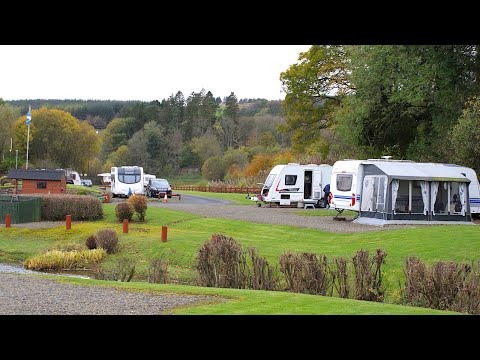
Lidalia Caravan Park

Nestled in a beautifully landscaped setting and within walking distance of the quaint village of Newcastleton, a Scottish Borders ...

Nearby Amenities

Located within 500m of 55.191394,-2.8337128
Blackburn
Name Lt: Blakbernas
Place: hamlet
Lat/Long: 55.1909841/-2.8280233
Ford: yes
Lat/Long: 55.1928578/-2.8275461
Ford: yes
Lat/Long: 55.1937994/-2.8294395
Kiln Knowe
Place: locality
Lat/Long: 55.1940203/-2.828361
Information: guidepost
Tourism: information
Lat/Long: 55.1930631/-2.8277138
Information: guidepost
Tourism: information
Lat/Long: 55.1929759/-2.8275675
Power: pole
Lat/Long: 55.1911246/-2.8264142
Power: pole
Lat/Long: 55.1909541/-2.8278072
The data included in this document is from www.openstreetmap.org. The data is made available under ODbL.

Have you been to Aldery Cleuch?

Leave your review of Aldery Cleuch below (or comments, questions and feedback).