Lang Cleuch
Valley in Roxburghshire
Scotland
Lang Cleuch
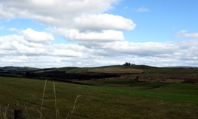
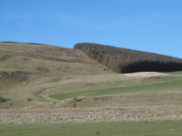
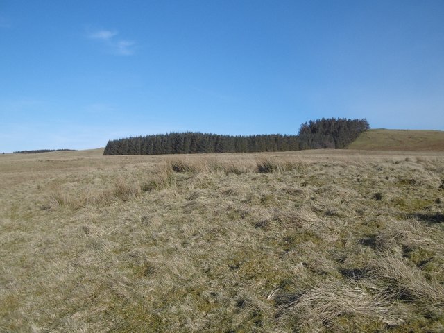
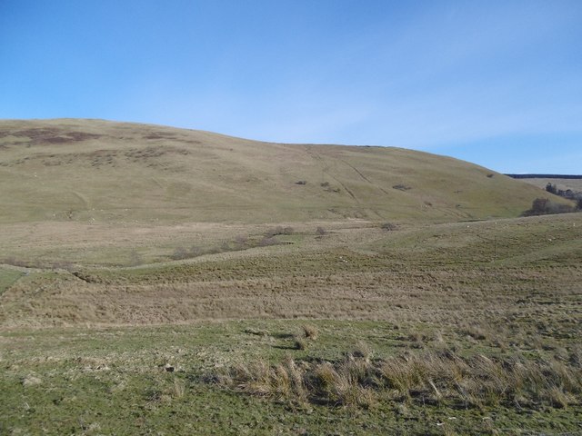
Lang Cleuch is a picturesque valley situated in the county of Roxburghshire, Scotland. It is nestled within the Southern Uplands, a range of rolling hills and moorland. The valley is located approximately 4 miles northeast of the small town of Hawick.
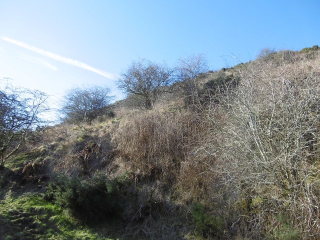
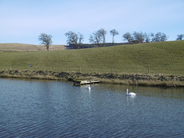
Lang Cleuch is characterized by its stunning natural beauty and tranquil atmosphere. The valley is surrounded by lush greenery, with a diverse range of flora and fauna. It is home to various species of birds, including red grouse, pheasants, and curlews, making it a popular spot for birdwatching enthusiasts.
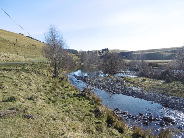
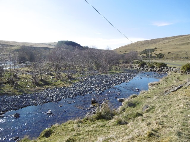
The valley is traversed by a small stream, which adds to its charm. The clear, babbling waters create a soothing ambiance, making it an ideal place for relaxation and unwinding amidst nature. The stream is also a habitat for brown trout, attracting anglers to try their luck at fly fishing.
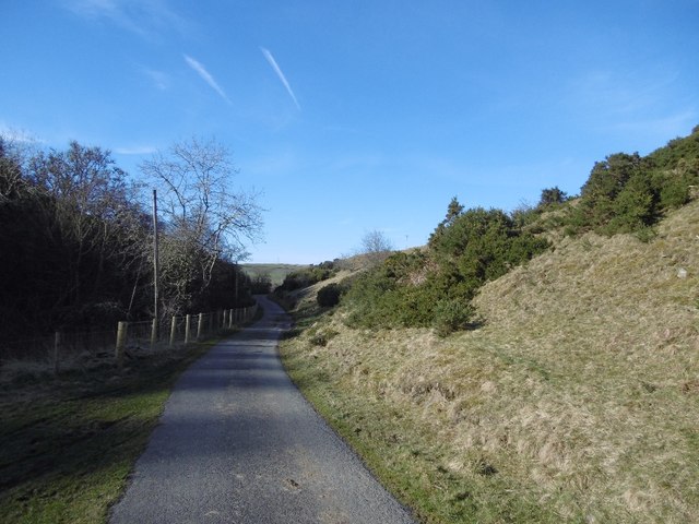
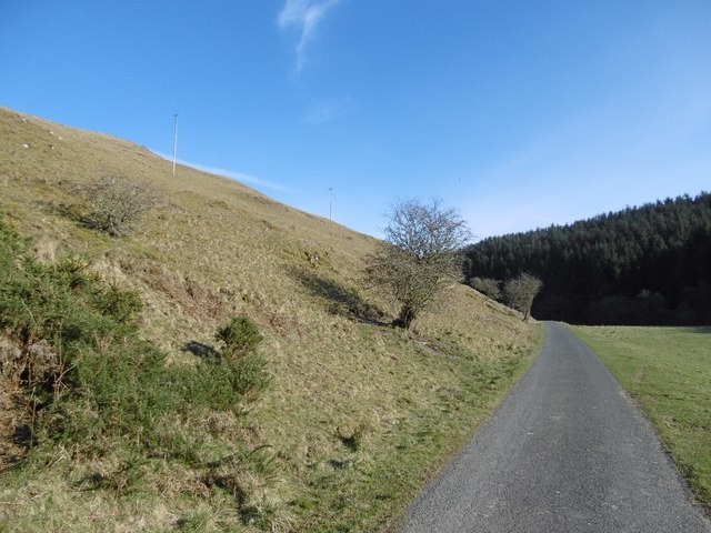
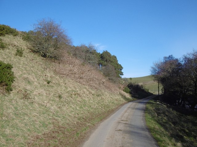
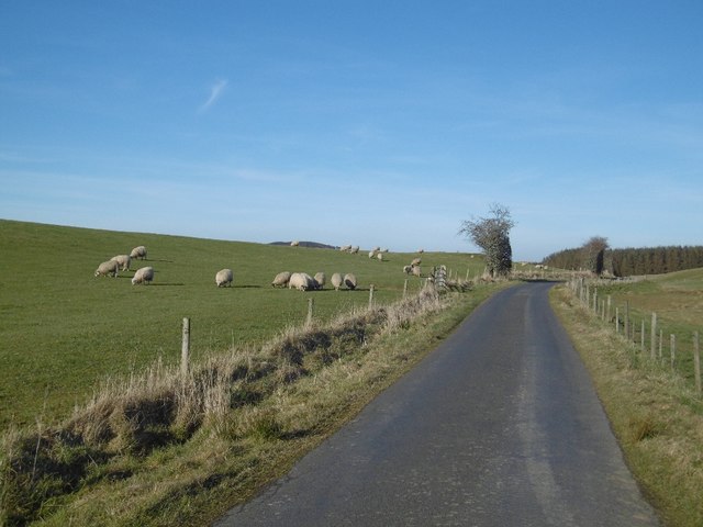
Lang Cleuch is a paradise for hikers and outdoor enthusiasts. The valley offers several walking trails, varying in difficulty levels, that allow visitors to explore its stunning surroundings. From easy strolls through the meadows to more challenging hikes up the surrounding hills, there is something for everyone.
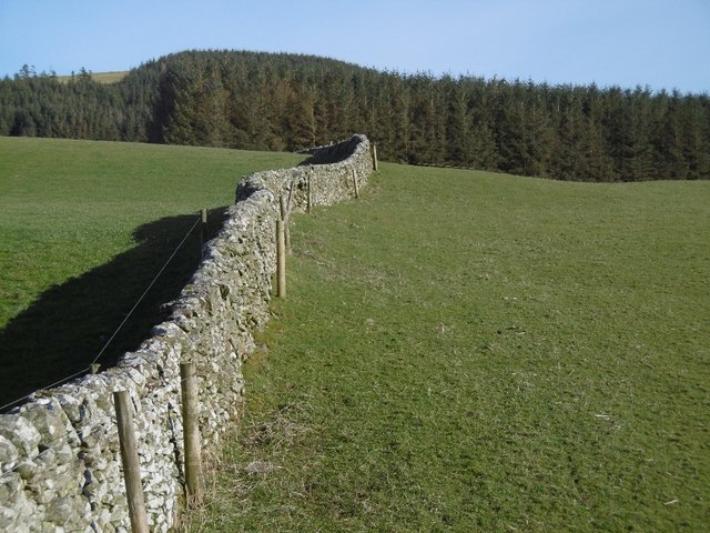
In addition to its natural beauty, Lang Cleuch also boasts historical significance. The valley is dotted with remnants of ancient settlements, including stone circles and burial mounds, providing a glimpse into the area's rich history.
Overall, Lang Cleuch is a hidden gem in Roxburghshire, offering a perfect blend of natural beauty, tranquility, and historical intrigue. Whether you are seeking a peaceful retreat or an outdoor adventure, this valley is sure to captivate and inspire.
If you have any feedback on the listing, please let us know in the comments section below.
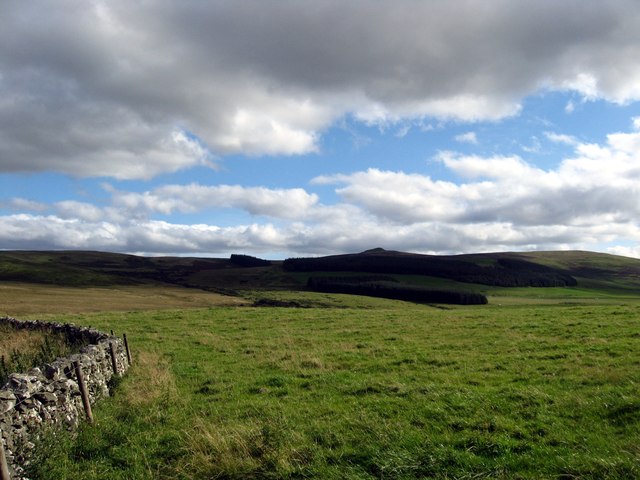
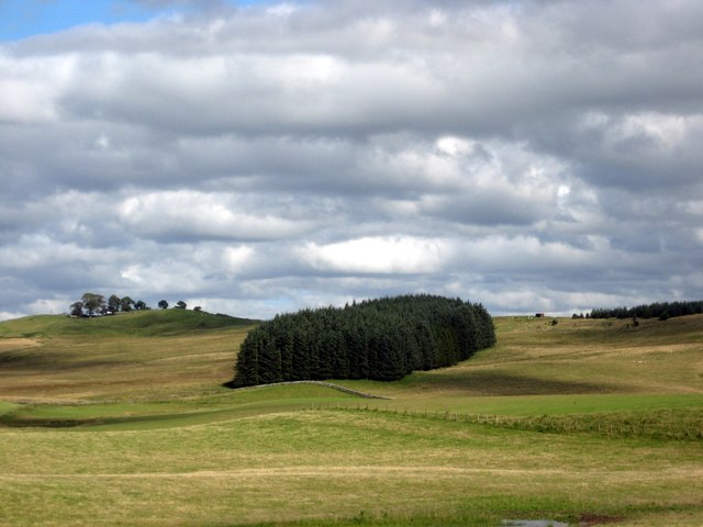
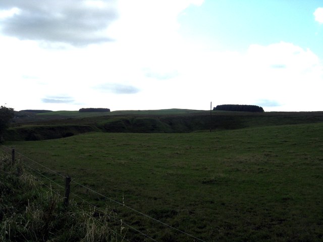
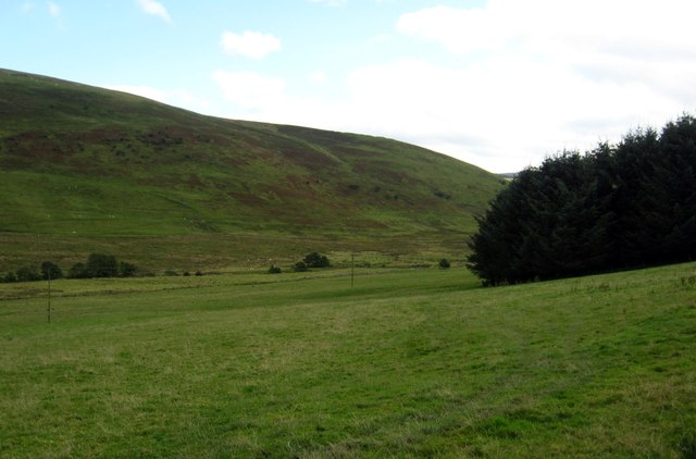
Lang Cleuch Images
Images are sourced within 2km of 55.364661/-2.8380148 or Grid Reference NT4608. Thanks to Geograph Open Source API. All images are credited.

Lang Cleuch is located at Grid Ref: NT4608 (Lat: 55.364661, Lng: -2.8380148)
Unitary Authority: The Scottish Borders
Police Authority: The Lothians and Scottish Borders
What 3 Words
///pancakes.provider.repeating. Near Hawick, Scottish Borders
Nearby Locations
Related Wikis

Broadhaugh
Broadhaugh is a hamlet in the Scottish Borders area of Scotland, in the parish of Teviothead, in former Roxburghshire. == See also == List of places in...

Branxholme
Branxholme is a hamlet in the Scottish Borders area of Scotland, overlooking the River Teviot, 3 miles (5 kilometres) southwest of Hawick, on the A7 road...

Newmill-on-Teviot
Newmill-on-Teviot, commonly called Newmill, is a hamlet in the Scottish Borders, 7 kilometres (4.3 mi) south of Hawick on the River Teviot. The remains...

Stobs Military Camp
Stobs Camp is a military and internment camp located just outside Hawick in the Scottish Borders. It is an internationally important site due to its level...
Nearby Amenities
Located within 500m of 55.364661,-2.8380148Have you been to Lang Cleuch?
Leave your review of Lang Cleuch below (or comments, questions and feedback).