Bedda Cleuch

Valley in Roxburghshire

Scotland

Bedda Cleuch

B6357 approaching Newcastleton
B6357 approaching Newcastleton Credit: Steven Brown

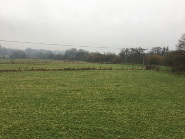
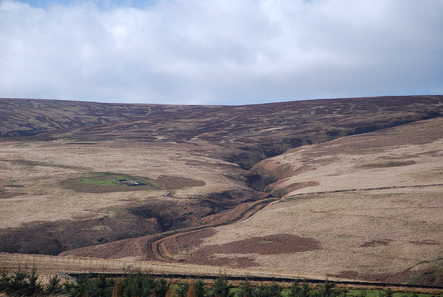
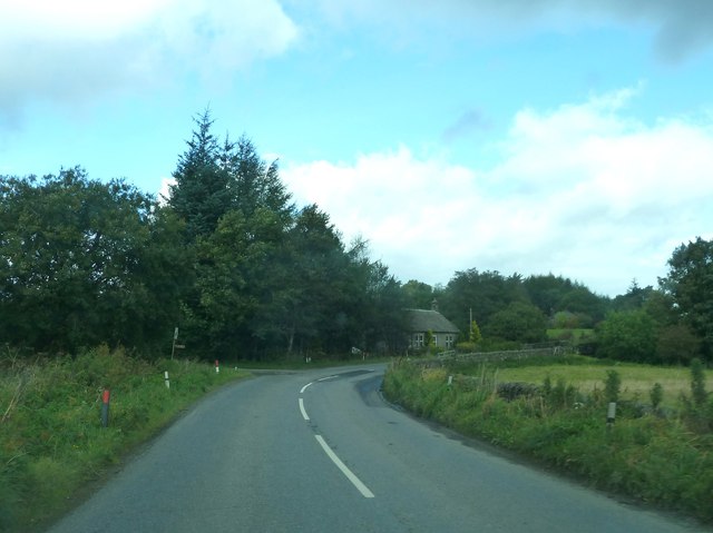
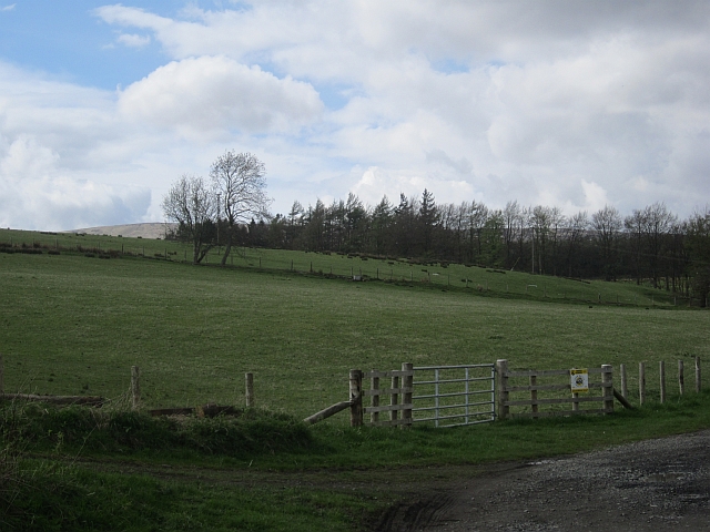
Bedda Cleuch is a picturesque valley located in the county of Roxburghshire, Scotland. Nestled within the Scottish Borders, this stunning landscape is renowned for its natural beauty and breathtaking scenery. The valley stretches for several miles, encompassing rolling hills, lush green meadows, and meandering rivers.

One of the prominent features of Bedda Cleuch is the crystal-clear water that flows through the valley. The rivers and streams that wind their way through the landscape provide a habitat for a diverse range of flora and fauna. The valley is home to an array of bird species, including buzzards, kestrels, and peregrine falcons, making it a haven for birdwatchers and nature enthusiasts.

The surrounding hills and meadows are adorned with vibrant wildflowers during the spring and summer months, creating a captivating display of colors. The valley is also dotted with ancient woodlands, adding to its natural charm and providing a tranquil setting for leisurely walks and hikes.

Bedda Cleuch offers visitors the opportunity to immerse themselves in the tranquility of nature. It is a popular destination for outdoor activities such as hiking, cycling, and fishing. The valley is intersected by several well-maintained trails, allowing visitors to explore its beauty at their own pace.

Overall, Bedda Cleuch is a hidden gem in Roxburghshire, offering a peaceful retreat for those seeking to connect with nature. Its idyllic setting, rich biodiversity, and stunning landscapes make it a must-visit destination for both locals and tourists alike.

If you have any feedback on the listing, please let us know in the comments section below.
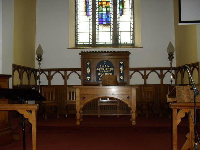
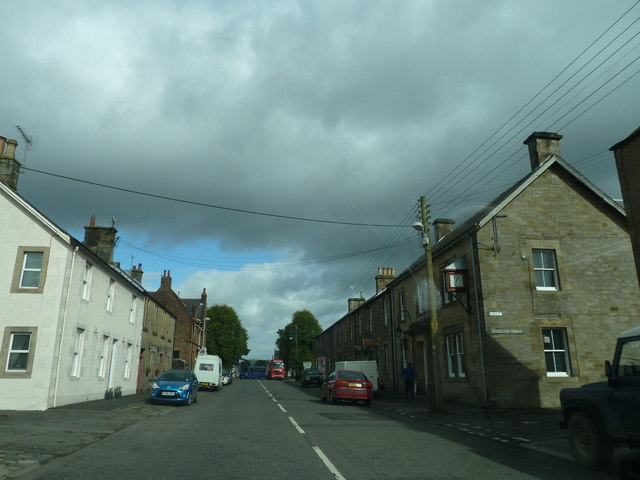
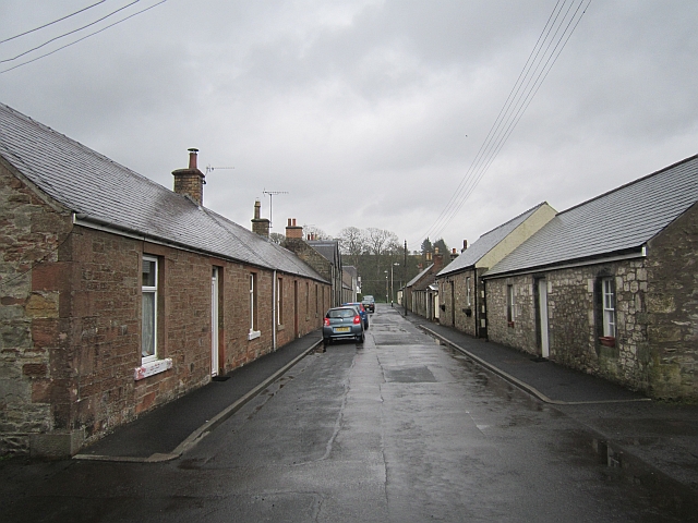
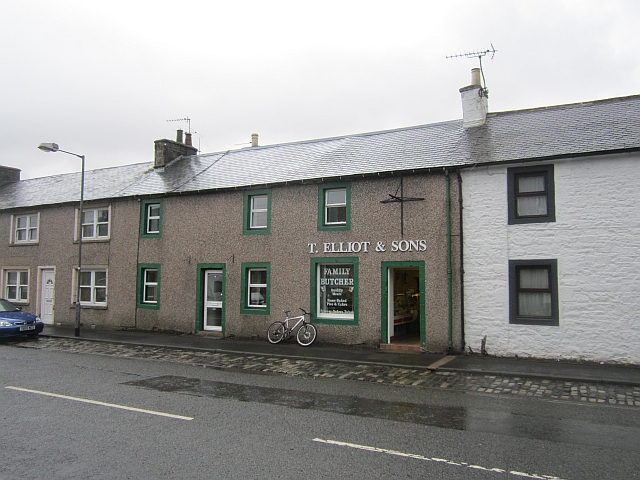
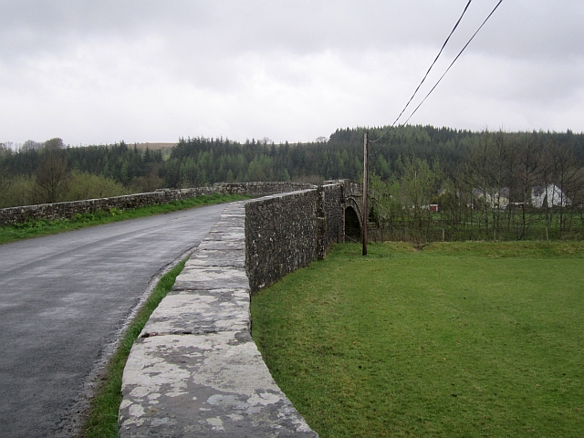
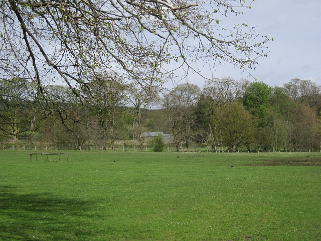
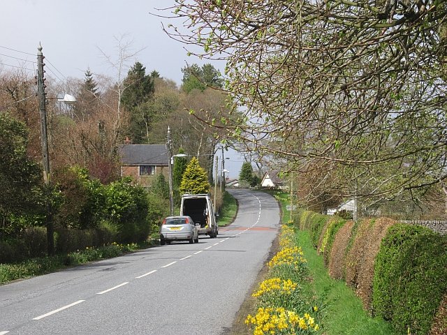
Bedda Cleuch Images

Images are sourced within 2km of 55.188699/-2.8296356 or Grid Reference NY4788. Thanks to Geograph Open Source API. All images are credited.

B6357 approaching Newcastleton
Fields beside the Liddel Water
Un-named tributary of the Black Burn An eye-catching burn scar high above Newcastleton taken from an unclassified road over to Langholm.
Un-named tributary of the Black Burn
An eye-catching burn scar high above Newcastleton taken from an unclassified road over to Langholm.
The B6357 at Newcastleton This is the approach into the village from the south.
The B6357 at Newcastleton
This is the approach into the village from the south.
Holm Bridge at Newcastleton Viewed from the west bank of the Liddel Water at the south end of the village.
Holm Bridge at Newcastleton
Viewed from the west bank of the Liddel Water at the south end of the village.
Horses at Newcastleton These grazing horses were viewed from a path by the Liddel Water. A playing field is in the background.
Horses at Newcastleton
These grazing horses were viewed from a path by the Liddel Water. A playing field is in the background.
A pavement in Newcastleton This was taken outside The Trap public house at South Hermitage Street with some signs, a clock and an ornamental lamp in view.
A pavement in Newcastleton
This was taken outside The Trap public house at South Hermitage Street with some signs, a clock and an ornamental lamp in view.
Newcastleton Church The pulpit and  Communion Table.
Newcastleton Church
The pulpit and Communion Table.
Crossing Holm Bridge
South Hermitage Street, Newcastleton By the junction with Union Street.
South Hermitage Street, Newcastleton
By the junction with Union Street.
B6357 at Railton Bridge
Whitchester Lane Newcastleton, east of the main street.
Whitchester Lane
Newcastleton, east of the main street.
T. Elliot and Sons Butchers, Newcastleton.
T. Elliot and Sons
Butchers, Newcastleton.
Holm Bridge Crossing the Liddel Water near Newcastleton.
Holm Bridge
Crossing the Liddel Water near Newcastleton.
Haugh, north of Newcastleton On the northern edge of the village.
Haugh, north of Newcastleton
On the northern edge of the village.
North Hermitage Street Northern edge of Newcastleton. Note the daffs out in mid May.
North Hermitage Street
Northern edge of Newcastleton. Note the daffs out in mid May.
Roan road end Off the B6357 north of Newcastleton.
Roan road end
Off the B6357 north of Newcastleton.
Dreich at Newcastleton
Show me another place!

Bedda Cleuch is located at Grid Ref: NY4788 (Lat: 55.188699, Lng: -2.8296356)

Unitary Authority: The Scottish Borders

Police Authority: The Lothians and Scottish Borders

What 3 Words

///dozens.strategy.seemingly. Near Langholm, Dumfries & Galloway

Nearby Locations

Bedda Cleuch Aldery Cleuch

Related Wikis

Newcastleton railway station

Newcastleton railway station served the village of Newcastleton, Scottish Borders, Scotland from 1862 to 1969 on the Border Union Railway. == History... ==

Newcastleton

Newcastleton, also called Copshaw Holm, is a village in Liddesdale, the Scottish Borders, a few miles from the border with England, on the Liddel Water...

Castleton, Scottish Borders

Castleton (Scottish Gaelic: Baile Chaisteil) is a civil parish in the Scottish Borders area of Scotland, in the former Roxburghshire, in the extreme south...

Ettleton

Ettleton is a village near Castleton, in the Scottish Borders area of Scotland, in the former Roxburghshire. == Etymology and history == Ettleton Parish...

Nearby Amenities

Located within 500m of 55.188699,-2.8296356
Blackburn
Name Lt: Blakbernas
Place: hamlet
Lat/Long: 55.1909841/-2.8280233
Barrier: cattle_grid
Source: survey
Lat/Long: 55.1866475/-2.8312204
Bench
Lat/Long: 55.186777/-2.8292418
Parking
Parking: layby
Lat/Long: 55.1866501/-2.8292923
drystone seat
Heating: no
Leisure: outdoor_seating
Lit: no
Seasonal: no
Lat/Long: 55.1871693/-2.8294147
Ford: yes
Lat/Long: 55.1928578/-2.8275461
Information: guidepost
Tourism: information
Lat/Long: 55.1930631/-2.8277138
Information: guidepost
Tourism: information
Lat/Long: 55.1929759/-2.8275675
Power: pole
Lat/Long: 55.1914524/-2.8238882
Power: pole
Lat/Long: 55.1912878/-2.8252297
Power: pole
Lat/Long: 55.1911246/-2.8264142
Power: pole
Lat/Long: 55.1909541/-2.8278072
The data included in this document is from www.openstreetmap.org. The data is made available under ODbL.

Have you been to Bedda Cleuch?

Leave your review of Bedda Cleuch below (or comments, questions and feedback).