Ramsey Cleuch
Valley in Selkirkshire
Scotland
Ramsey Cleuch
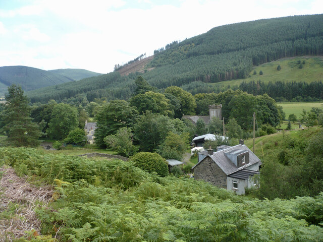
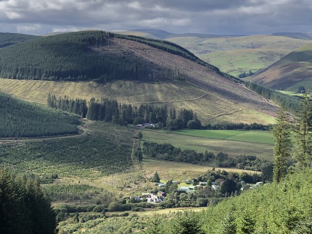
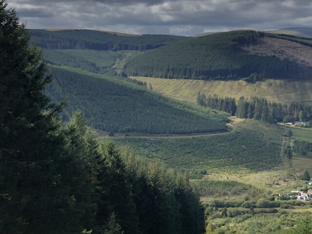
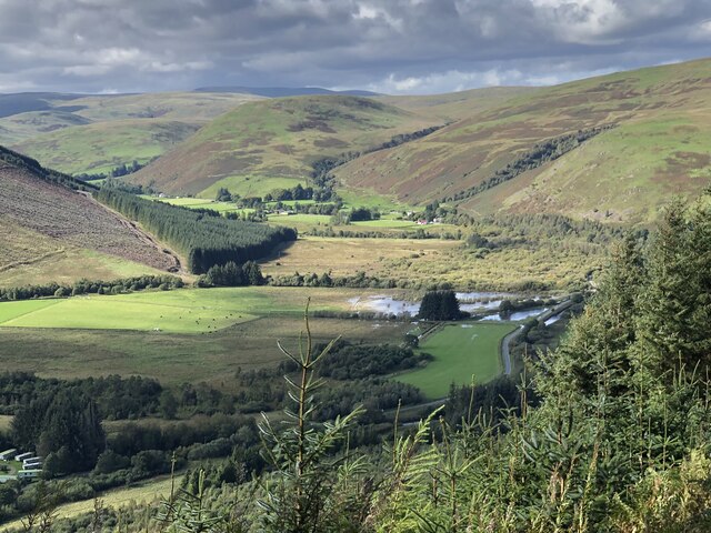
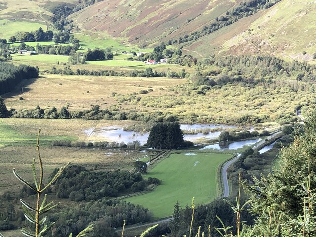
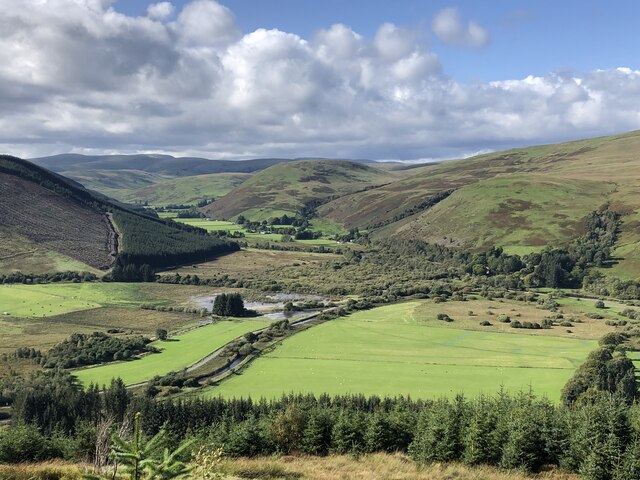
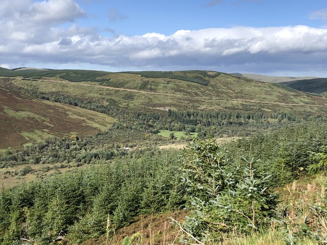
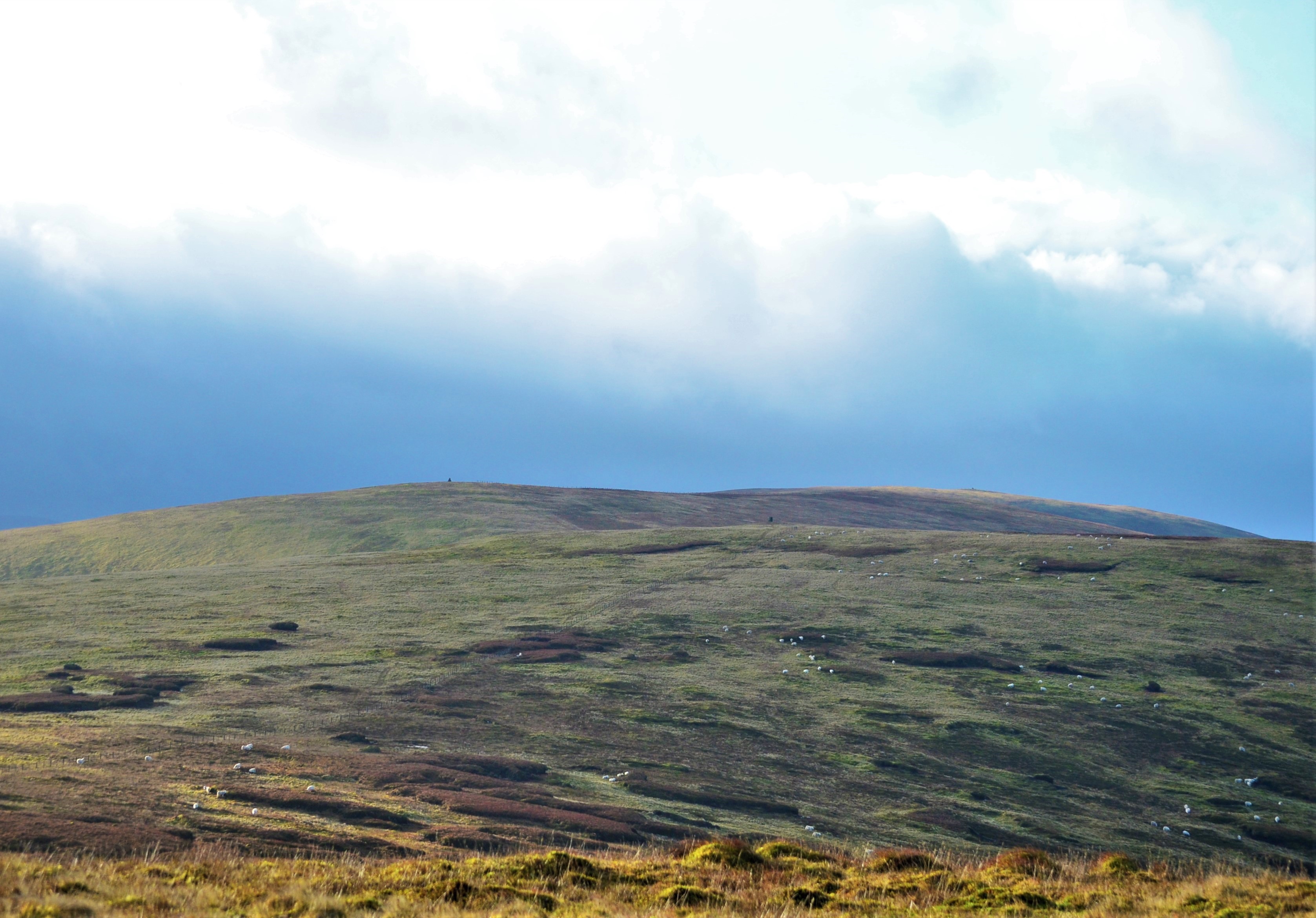
Ramsey Cleuch is a picturesque valley located in Selkirkshire, Scotland. Nestled amidst the rolling hills of the Scottish Borders, this stunning landscape offers a serene and tranquil environment for nature enthusiasts and outdoor adventurers alike.
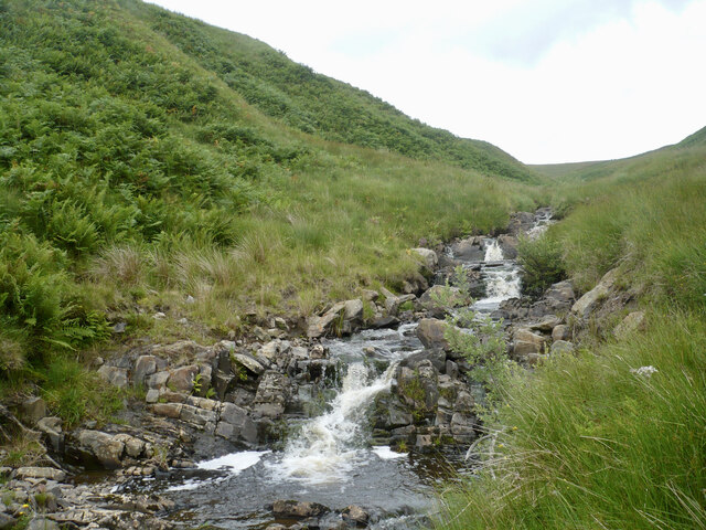
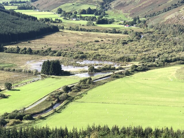
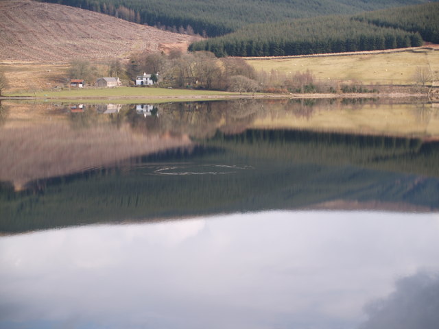
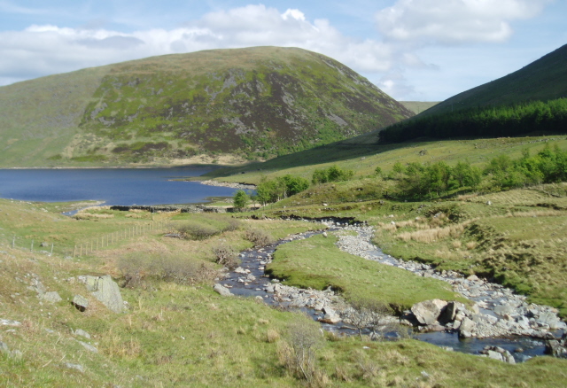
The cleuch, or valley, is named after the Ramsey Burn that flows through it, creating a series of cascades and waterfalls that add to its natural beauty. The crystal-clear waters of the burn attract an abundance of wildlife, including otters, birds, and various species of fish. The surrounding woodlands are home to a diverse range of flora, with ancient oak trees and vibrant wildflowers dotting the landscape.
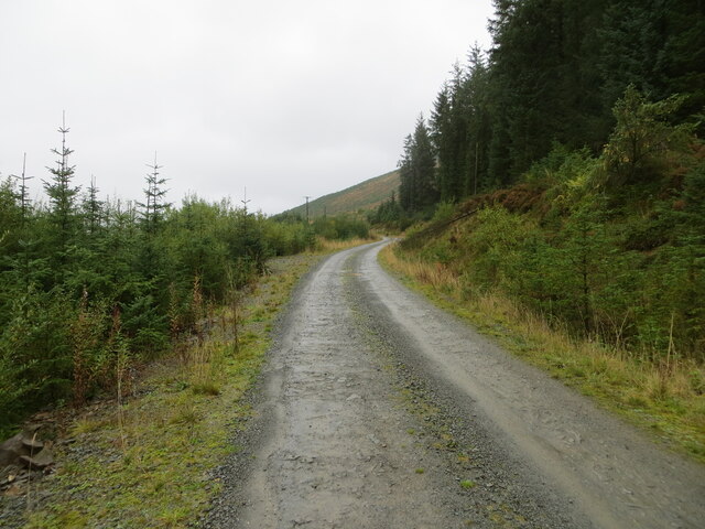
Ramsey Cleuch is renowned for its scenic walking trails, which showcase the valley's breathtaking vistas. Hikers can explore the rugged terrain and discover hidden gems such as secluded pools and enchanting moss-covered rocks. The cleuch also offers numerous opportunities for birdwatching, with the chance to spot species such as buzzards, kestrels, and peregrine falcons soaring above the valley.
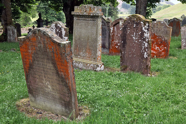
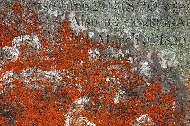
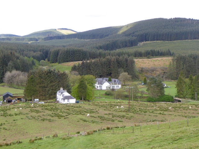
The area's rich history is evident in the remains of former settlements and ancient ruins that can be found scattered throughout the landscape. Visitors can explore the remnants of old farmsteads and stone structures, providing a glimpse into the region's past.
Overall, Ramsey Cleuch is a captivating destination that combines natural beauty, wildlife, and historical intrigue. Whether visitors seek an immersive outdoor experience or a serene retreat, this valley in Selkirkshire offers an idyllic setting that is sure to leave a lasting impression.
If you have any feedback on the listing, please let us know in the comments section below.
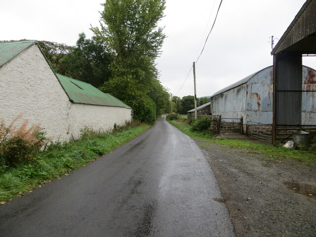
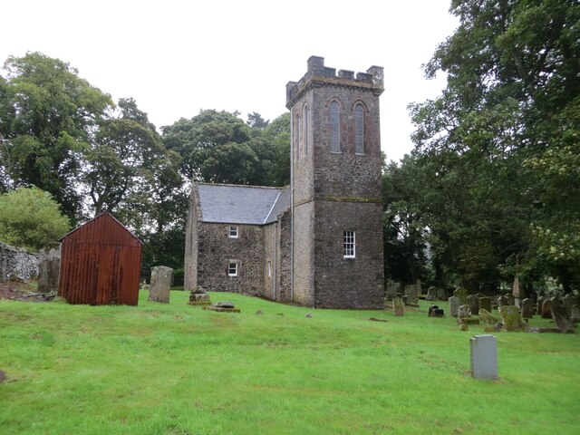
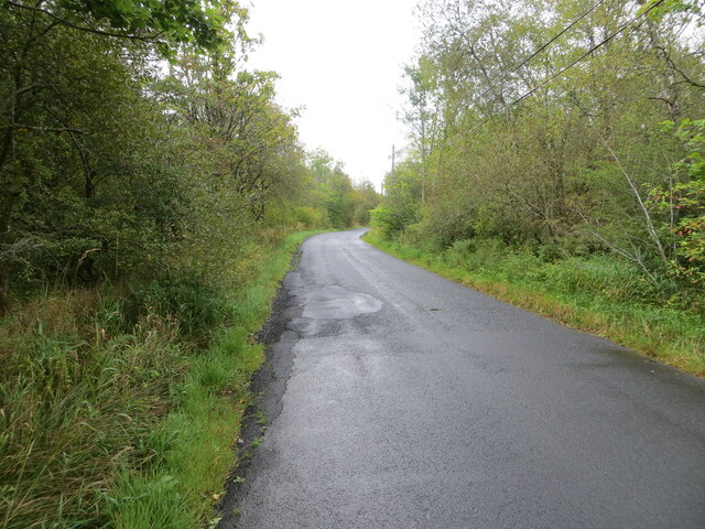
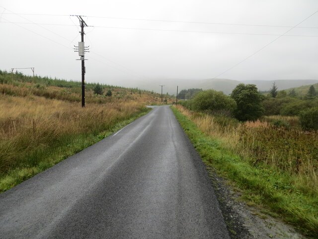
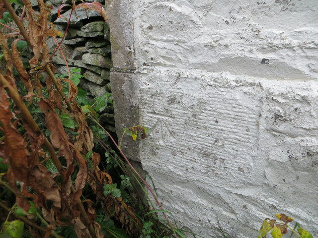
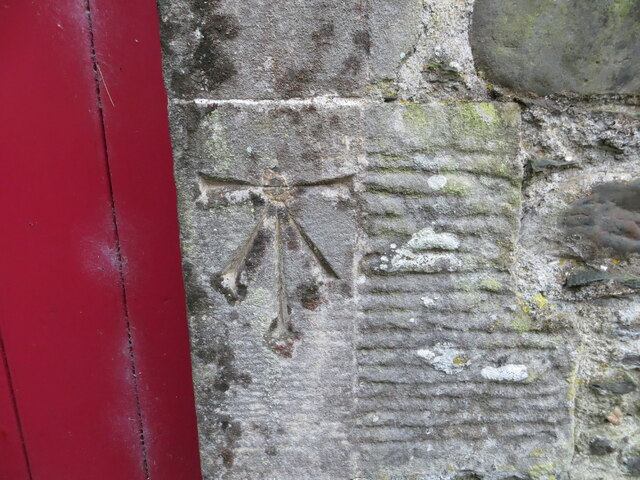
Ramsey Cleuch Images
Images are sourced within 2km of 55.421781/-3.1531235 or Grid Reference NT2714. Thanks to Geograph Open Source API. All images are credited.
Ramsey Cleuch is located at Grid Ref: NT2714 (Lat: 55.421781, Lng: -3.1531235)
Unitary Authority: The Scottish Borders
Police Authority: The Lothians and Scottish Borders
What 3 Words
///lyricism.caskets.tooth. Near Ettrick, Scottish Borders
Nearby Locations
Related Wikis
Ettrick, Scotland
Ettrick (Scottish Gaelic: Eadaraig, IPA: [ˈet̪əɾɪkʲ]) is a small village and civil parish in the Scottish Borders area of Scotland. It is located on the...

Tushielaw Tower
Tushielaw Tower is a 16th-century tower house, about 2.5 miles (4.0 km) north and east of Ettrick, Scottish Borders, Scotland, and west of Ettrick Water...
Buccleuch, Scottish Borders
East and West Buccleuch ( bə-KLOO) are two homesteads in the Scottish Borders, in the Ettrick parish of historic Selkirkshire. They are located off the...
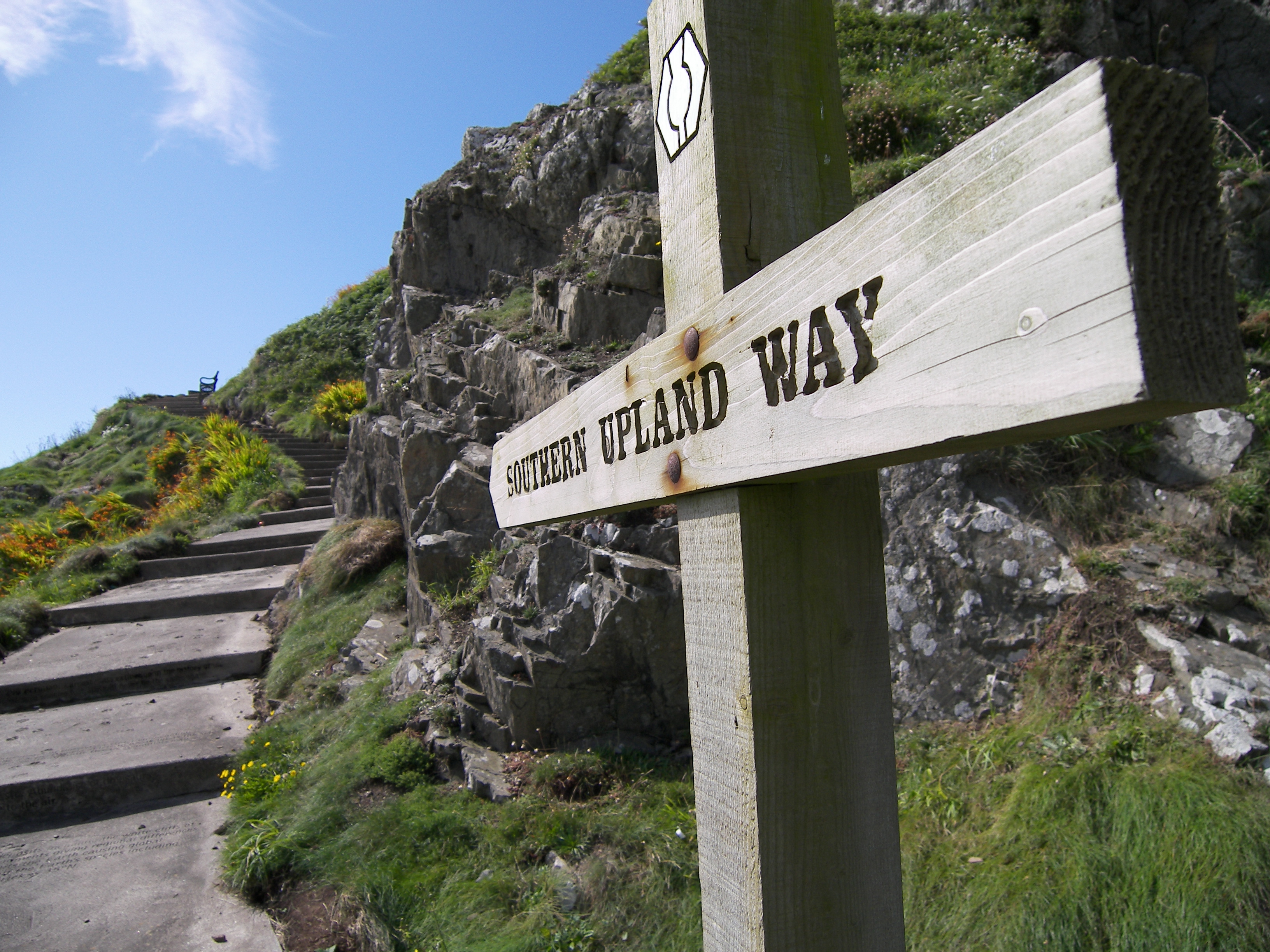
Southern Upland Way
The Southern Upland Way is a 344-kilometre (214 mi) coast-to-coast long-distance footpath in southern Scotland. The route links Portpatrick in the west...
Bowerhope
Bowerhope is a village off the A708, in the Scottish Borders area of Scotland, on the banks of St Mary's Loch in Ettrick Forest. == See also == List of...
Andrewhinney Hill
Andrewhinney Hill is a hill in the Ettrick Hills range, part of the Southern Uplands of Scotland. It is the highest summit of a ridge that runs parallel...

Dob's Linn
Dob's Linn is a small steep valley in Dumfries and Galloway, just north of the A708 road between Moffat and Selkirk, in Scotland. It is part of the Grey...
Megget Water
Megget Water is a river in the parish of Yarrow, Selkirkshire in the Scottish Borders area of Scotland. The Water rises at Broad Law (2,760 ft), passes...
Nearby Amenities
Located within 500m of 55.421781,-3.1531235Have you been to Ramsey Cleuch?
Leave your review of Ramsey Cleuch below (or comments, questions and feedback).