The Combe

Valley in Devon East Devon

England

The Combe

An incoming tide The River Axe joins the sea at Seaton.
Recent heavy rains have swelled the outgoing river.
An incoming tide Credit: Anthony Vosper

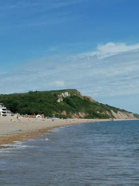
The Combe, located in Devon, England, is a picturesque valley that boasts stunning natural beauty and a rich historical significance. Nestled amidst rolling hills and lush greenery, this idyllic valley stretches for several kilometers and is a popular destination for nature enthusiasts and history buffs alike.

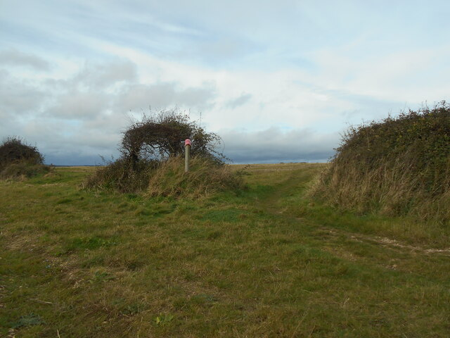
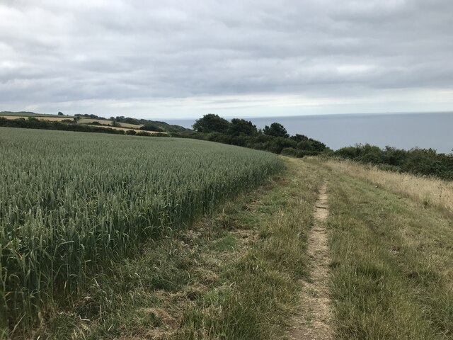
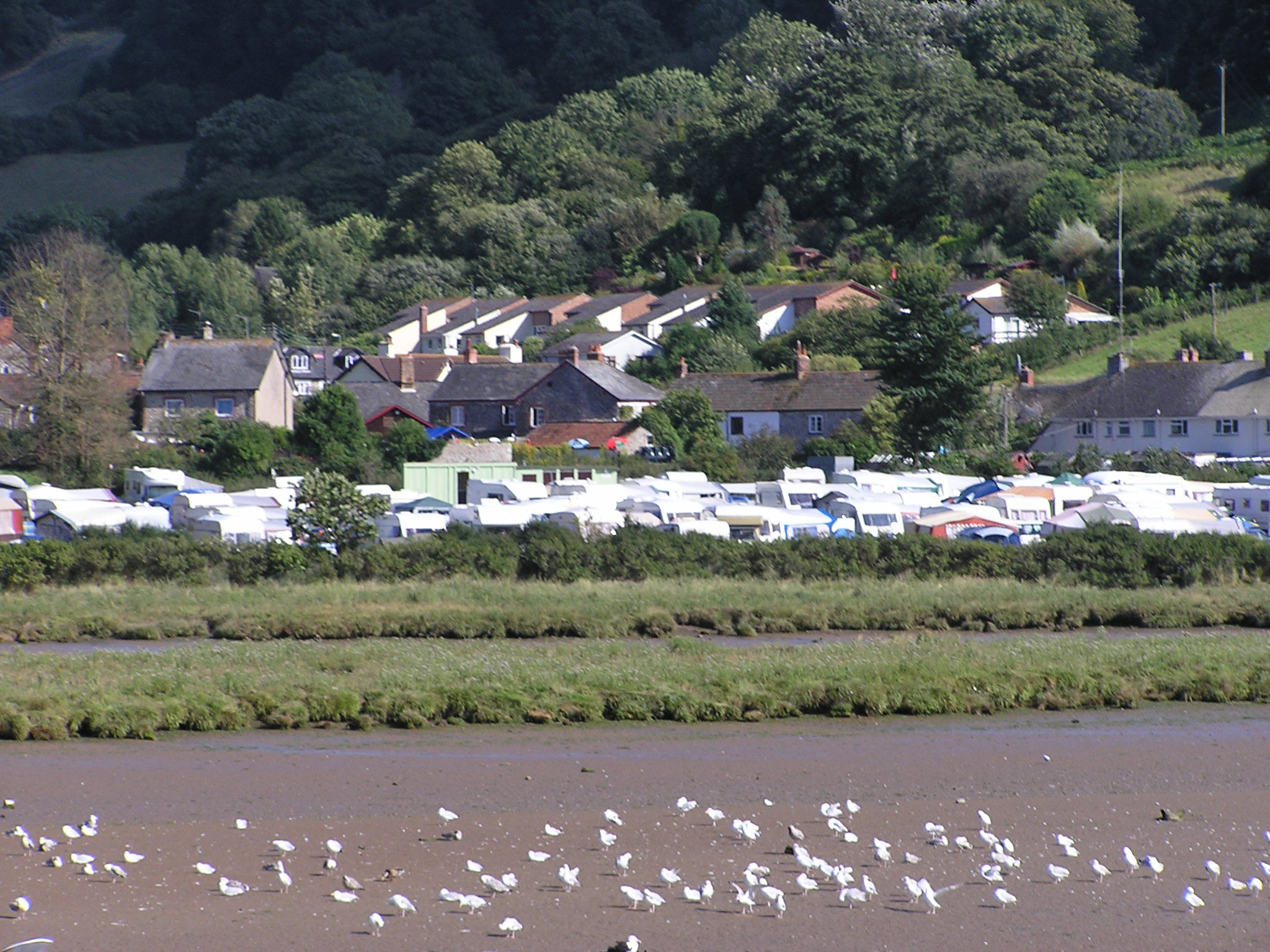
The Combe is renowned for its diverse wildlife and flora, offering a haven for many species of birds, mammals, and plants. Visitors can explore the valley's extensive network of walking trails, which wind through ancient woodlands, past babbling brooks, and across open meadows. The tranquil atmosphere and breathtaking views make it an ideal spot for hiking, birdwatching, and photography.

The valley also holds significant historical value. It was once home to several Iron Age settlements, and remnants of these ancient dwellings can still be seen today. Archaeological excavations have uncovered artifacts and evidence of human habitation dating back thousands of years, providing insights into the rich cultural heritage of the area.

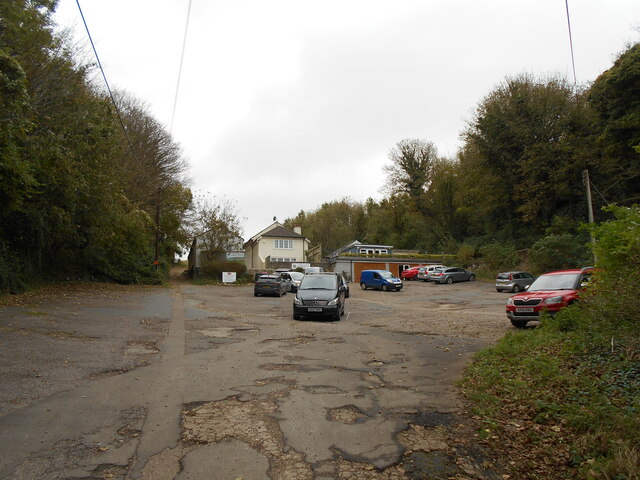
In addition to its natural and historical attractions, The Combe offers various amenities for visitors. There are picnic spots, benches, and viewpoints strategically placed throughout the valley, allowing visitors to relax and soak in the beauty of their surroundings. The nearby villages offer charming pubs and cafes where visitors can indulge in local cuisine and beverages.

Overall, The Combe in Devon is a hidden gem, offering a perfect blend of natural beauty and historical significance. Whether one seeks peace and tranquility or an opportunity to explore the region's past, this valley provides a unique and unforgettable experience for all who visit.

If you have any feedback on the listing, please let us know in the comments section below.

The Combe Images

Images are sourced within 2km of 50.711926/-3.0330119 or Grid Reference SY2790. Thanks to Geograph Open Source API. All images are credited.

An incoming tide The River Axe joins the sea at Seaton.
Recent heavy rains have swelled the outgoing river.
An incoming tide
The River Axe joins the sea at Seaton. Recent heavy rains have swelled the outgoing river.
Gone fishing A lone angler stands at the mouth of the River Axe.
Gone fishing
A lone angler stands at the mouth of the River Axe.
Anyone lost a pink hat? A pink hat adorns a marker post for the South West Coast Path.
A geocache is currently located in the small windswept tree.
Anyone lost a pink hat?
A pink hat adorns a marker post for the South West Coast Path. A geocache is currently located in the small windswept tree.
A South East view Looking South East along the South West Coast path.
A South East view
Looking South East along the South West Coast path.
Seaton cliffs (East Devon) Seaton cliffs on the Jurassic Coast looking from the town beach
Seaton cliffs (East Devon)
Seaton cliffs on the Jurassic Coast looking from the town beach
Signboard on the coast path
Coast path at The Landslip
Looking towards the Sheep Wash
Wheat field on the South West Coast Path
Church street junction The building on the right has an OS Flush Bracket low down on the left.
Church street junction
The building on the right has an OS Flush Bracket low down on the left.
The South West Coast Path Viewed at the point where it passes Axe Cliff Golf Course, club house and car park.
The South West Coast Path
Viewed at the point where it passes Axe Cliff Golf Course, club house and car park.
Foot path across the golf course The South West Coast path crosses the Axe Cliff golf course.
Foot path across the golf course
The South West Coast path crosses the Axe Cliff golf course.
Stoney Cross  Situated on Barn Close Lane. Part of the South West Coast Path.
Stoney Cross
Situated on Barn Close Lane. Part of the South West Coast Path.
A private home The Axmouth Baptist chapel built in 1861 has now been tastefully turned into a private dwelling.
A private home
The Axmouth Baptist chapel built in 1861 has now been tastefully turned into a private dwelling.
A stile at Stoney Cross On a footpath joining Barn Close lane to Stepps Road.
A stile at Stoney Cross
On a footpath joining Barn Close lane to Stepps Road.
Footpath on Stepps Lane Providing a short cut to Barn Close Lane.
Footpath on Stepps Lane
Providing a short cut to Barn Close Lane.
Coldwell Lane Terrace The telephone box, no longer in use has been turned into a small library.
Coldwell Lane Terrace
The telephone box, no longer in use has been turned into a small library.
Mixed houses on Chapel street A number of dwellings following the valley and chousesourse of the road.
Mixed houses on Chapel street
A number of dwellings following the valley and chousesourse of the road.
Show me another place!

The Combe is located at Grid Ref: SY2790 (Lat: 50.711926, Lng: -3.0330119)

Administrative County: Devon

District: East Devon

Police Authority: Devon and Cornwall

What 3 Words

///tabs.strike.reclining. Near Colyton, Devon

Related Wikis

Hawkesdown Hill

Hawkesdown Hill is an Iron Age Hill fort close to Axmouth in Devon situated on a prominent hillside above the Axe Estuary. It is approximately 130 metres...

Axmouth

Axmouth is a village, civil parish and former manor in the East Devon district of Devon, England, near the mouth of the River Axe. The village itself...

Axmouth to Lyme Regis Undercliffs

The Axmouth to Lyme Regis Undercliffs, also often referred to in the singular as the Undercliff, is a 5-mile (8.0 km) long landscape feature, National...

Stedcombe House

Stedcombe House is a country house in the civil parish of Axmouth, in the East Devon district, in the county of Devon, England. It is recorded in the National...

Nearby Amenities

Located within 500m of 50.711926,-3.0330119
Springhead Cross
Junction: yes
Lat/Long: 50.712479/-3.030434
Barrier: stile
Lat/Long: 50.7142494/-3.0389407
Barrier: stile
Lat/Long: 50.7134513/-3.0390073
Post Box
Post Box Type: lamp
Ref: EX12 30D
Royal Cypher: EIIR
Royal Cypher Wikidata: Q33102113
Lat/Long: 50.7126659/-3.0398587
The data included in this document is from www.openstreetmap.org. The data is made available under ODbL.

Have you been to The Combe?

Leave your review of The Combe below (or comments, questions and feedback).