Cwm Burholes

Valley in Shropshire

England

Cwm Burholes

Muddy feeders The cattle don't seem to mind the morass around their feeders - after all, they are still enjoying the fresh air and November sunshine instead of being stuck in a barn. The farm road is part of the Jack Mytton Way.
Muddy feeders Credit: Jonathan Wilkins

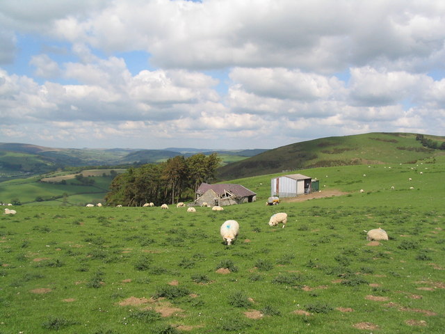
Cwm Burholes is a picturesque valley located in the county of Shropshire, England. It is situated near the village of Clun, nestled within the scenic Clun Forest. The valley is characterized by its stunning natural beauty, with rolling hills, lush green meadows, and a meandering river that flows through its heart.

The name "Cwm Burholes" originates from the Welsh language, with "cwm" meaning valley and "burholes" referring to the presence of numerous rabbit burrows found in the area. These burrows add to the charm of the valley and are often a delight to spot for visitors.

The valley is home to a diverse range of flora and fauna, making it a haven for nature enthusiasts. Wildflowers carpet the meadows during the spring and summer months, attracting a variety of butterflies and bees. The river that runs through the valley is teeming with fish, while otters can sometimes be spotted playing in the waters.

For those who enjoy outdoor activities, Cwm Burholes offers a plethora of opportunities. The valley is crisscrossed with scenic walking trails, perfect for leisurely strolls or more challenging hikes. The surrounding hills also provide fantastic vistas for birdwatching or simply taking in the breathtaking scenery.

Cwm Burholes is a hidden gem in Shropshire, offering tranquility and natural beauty to all who visit. Its idyllic setting and abundance of wildlife make it an ideal destination for those seeking a peaceful escape in the heart of the English countryside.

If you have any feedback on the listing, please let us know in the comments section below.

Cwm Burholes Images

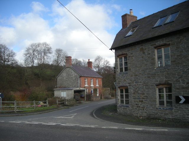
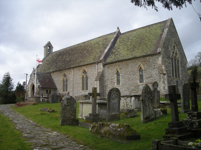
Images are sourced within 2km of 52.396834/-3.0727945 or Grid Reference SO2778. Thanks to Geograph Open Source API. All images are credited.

Muddy feeders The cattle don't seem to mind the morass around their feeders - after all, they are still enjoying the fresh air and November sunshine instead of being stuck in a barn. The farm road is part of the Jack Mytton Way.
Muddy feeders
The cattle don't seem to mind the morass around their feeders - after all, they are still enjoying the fresh air and November sunshine instead of being stuck in a barn. The farm road is part of the Jack Mytton Way.
Jack Mytton Way Looking westwards along the farm road to Burfield which carries the long-distance path.
Jack Mytton Way
Looking westwards along the farm road to Burfield which carries the long-distance path.
Pasture with stream Pasture to the north of the farm road, with a small stream tumbling down. The area has been refreshed by a day of rain.
Pasture with stream
Pasture to the north of the farm road, with a small stream tumbling down. The area has been refreshed by a day of rain.
On the Jack Mytton Way Heading east along the Jack Mytton Way between Burfield and Llwyn.

Wikipedia: <span class="nowrap"><a title="https://en.wikipedia.org/wiki/Jack_Mytton_Way" rel="nofollow ugc noopener" href="https://en.wikipedia.org/wiki/Jack_Mytton_Way">Link</a><img style="margin-left:2px;" alt="External link" title="External link - shift click to open in new window" src="https://s1.geograph.org.uk/img/external.png" width="10" height="10"/></span>
On the Jack Mytton Way
Heading east along the Jack Mytton Way between Burfield and Llwyn. Wikipedia: LinkExternal link
Looking West from Offa's Dyke This was taken on the Dyke above Garbett Hall looking into Wales. The farm centre right is Llandinshop
Looking West from Offa's Dyke
This was taken on the Dyke above Garbett Hall looking into Wales. The farm centre right is Llandinshop
Copse below Garbett Hall This was taken from Offa's Dyke just as it crosses an unnamed stream in a primeval copse in the valley below Garbett Hall
Copse below Garbett Hall
This was taken from Offa's Dyke just as it crosses an unnamed stream in a primeval copse in the valley below Garbett Hall
Pasture above the Clun Valley Gentler slopes with arable and pasture land give way in the East to steep, forested slopes on the South side of the Clun Valley.
Pasture above the Clun Valley
Gentler slopes with arable and pasture land give way in the East to steep, forested slopes on the South side of the Clun Valley.
Livestock grazing on Rock Hill Intensively managed pastures and silage fields with low hedges are typical of the hills above Clun.
Livestock grazing on Rock Hill
Intensively managed pastures and silage fields with low hedges are typical of the hills above Clun.
Headwaters of River Redlake Mixed landscape of small fields, overgrown hedges, woodland and scrub in steep-sided valleys near to Upper Treverward. Looking towards Rock Hill with The Scrubbs ancient semi-natural woodland on the lower slopes.
Headwaters of River Redlake
Mixed landscape of small fields, overgrown hedges, woodland and scrub in steep-sided valleys near to Upper Treverward. Looking towards Rock Hill with The Scrubbs ancient semi-natural woodland on the lower slopes.
Cwm Sanahan Hill from Garbett Hall Farm
Brook near Bwlch Farm One of the source streams of the River Teme, the view is easterly from the watershed between the Teme and Clun river systems. Bwlch is a Welsh term for pass, in this border country.
Brook near Bwlch Farm
One of the source streams of the River Teme, the view is easterly from the watershed between the Teme and Clun river systems. Bwlch is a Welsh term for pass, in this border country.
South-eastern slopes of Rock Hill Streams cut across the scene. When they occur in deep wooded valleys, they are known locally as dingles.
South-eastern slopes of Rock Hill
Streams cut across the scene. When they occur in deep wooded valleys, they are known locally as dingles.
Sheep pasture in the upper Redlake valley Typical scenery in the South Shropshire hills.
Sheep pasture in the upper Redlake valley
Typical scenery in the South Shropshire hills.
Pasture land in the Shropshire Hills View east across the upper Redlake valley.
Pasture land in the Shropshire Hills
View east across the upper Redlake valley.
Road to Bwlch Farm Bwlch means pass in Welsh. The minor road pass is a few yards to the right of shot.
Road to Bwlch Farm
Bwlch means pass in Welsh. The minor road pass is a few yards to the right of shot.
Stream at Purlogue Bridge
Lane to a small gorge
You take the high road & you take the low road - that leaves me stuck in middle
Show me another place!

Cwm Burholes is located at Grid Ref: SO2778 (Lat: 52.396834, Lng: -3.0727945)

Unitary Authority: Shropshire

Police Authority: West Mercia

What 3 Words

///scope.nozzles.vesting. Near Knighton, Powys

Related Wikis

New Invention, Shropshire

New Invention is a hamlet in Shropshire, England on the A488 between Clun and Knighton. It comprises little more than four houses around a cross-roads...

Llanfair Waterdine

Llanfair Waterdine, sometimes written as Llanvair Waterdine and meaning St Mary's Church Waterdine, is a small village and civil parish in Shropshire,...

Skyborry Green

Skyborry Green is a hamlet consisting of a small number of houses and a farm in Shropshire, England, 2 miles (3 km) northwest of Knighton. The hamlet population...
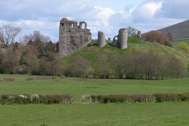
Clun Castle

Clun Castle is a medieval ruined castle in Clun, Shropshire, England. Clun Castle was established by the Norman lord Robert de Say after the Norman invasion...

Nearby Amenities

Located within 500m of 52.396834,-3.0727945
Bicycle: yes
Lat/Long: 52.3943661/-3.0771372
Bicycle: yes
Lat/Long: 52.3952761/-3.0757102
Bicycle: yes
Lat/Long: 52.3954201/-3.0756351
Bicycle: yes
Lat/Long: 52.3941467/-3.078135
Bicycle: yes
Lat/Long: 52.394533/-3.0766383
Bicycle: yes
Lat/Long: 52.3946574/-3.0764076
Bicycle: yes
Lat/Long: 52.3950312/-3.0759468
The data included in this document is from www.openstreetmap.org. The data is made available under ODbL.

Have you been to Cwm Burholes?

Leave your review of Cwm Burholes below (or comments, questions and feedback).