The Black Spout
Valley in Aberdeenshire
Scotland
The Black Spout
The Black Spout, located in Aberdeenshire, Scotland, is a magnificent valley renowned for its stunning natural beauty and breathtaking waterfall. Nestled within the Cairngorms National Park, this valley attracts nature enthusiasts, hikers, and photographers from all over the world.
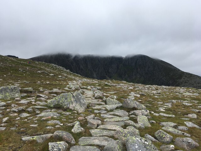
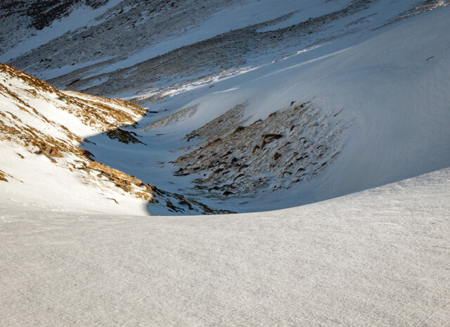
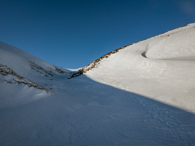
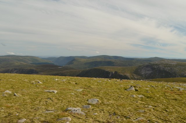
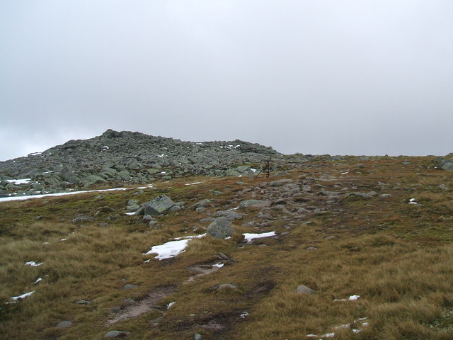
The Black Spout is characterized by its steep-sided gorges and rugged terrain, offering an awe-inspiring backdrop for outdoor activities. The focal point of the valley is the Black Spout Waterfall, a dramatic 60-meter cascade that plunges into a deep pool below. The waterfall is a sight to behold, especially after heavy rainfall when it is at its most powerful.
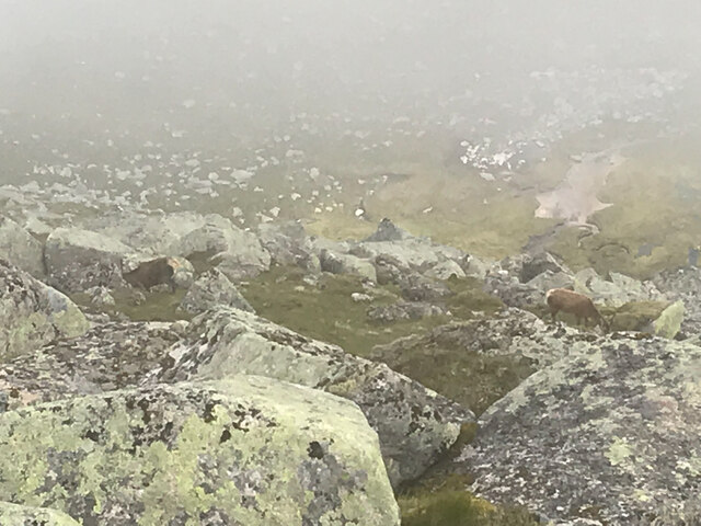
The valley is home to a diverse range of flora and fauna, including heather, bracken, and a variety of bird species. As visitors explore the area, they may spot red deer, golden eagles, and even the elusive mountain hare. The Black Spout is also a popular spot for fishing, with the River Ardle providing ample opportunities to catch salmon and trout.
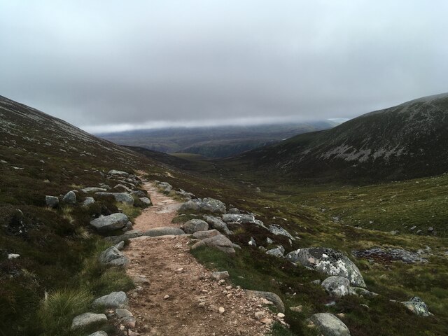
Hiking is a popular activity in the Black Spout, with numerous trails of varying difficulty crisscrossing the valley. One popular route is the circular walk that takes visitors from the town of Pitlochry to the waterfall and back, offering stunning views along the way. For those seeking a more challenging adventure, the nearby Munro mountains provide ample opportunities for experienced climbers.
In conclusion, the Black Spout in Aberdeenshire is a must-visit destination for nature lovers and outdoor enthusiasts. Its dramatic waterfall, diverse wildlife, and picturesque landscapes make it a truly unforgettable experience.
If you have any feedback on the listing, please let us know in the comments section below.
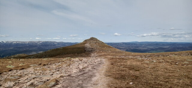
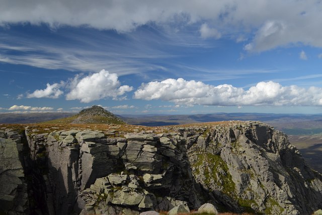
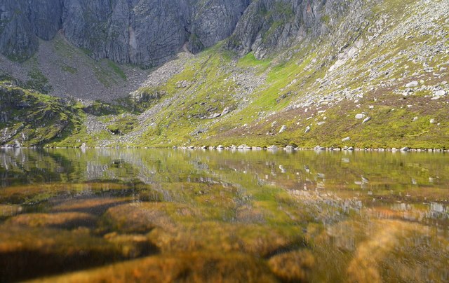
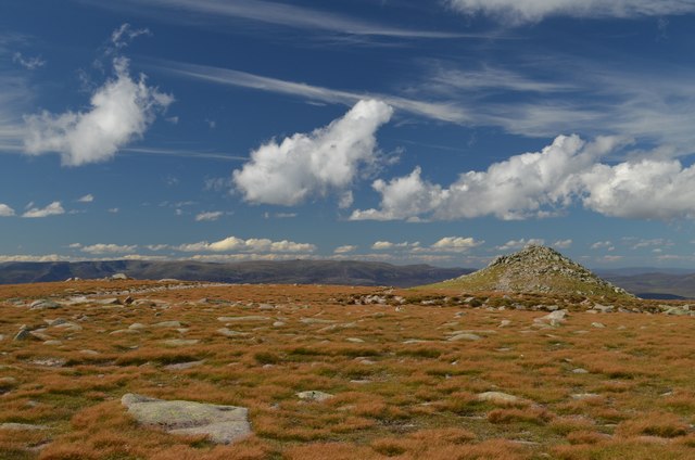
The Black Spout Images
Images are sourced within 2km of 56.958006/-3.2414772 or Grid Reference NO2485. Thanks to Geograph Open Source API. All images are credited.

The Black Spout is located at Grid Ref: NO2485 (Lat: 56.958006, Lng: -3.2414772)
Unitary Authority: Aberdeenshire
Police Authority: North East
What 3 Words
///general.quicksand.smirking. Near Ballater, Aberdeenshire
Nearby Locations
Related Wikis

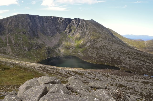
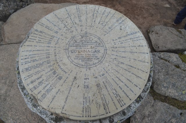
Lochnagar
Lochnagar or Beinn Chìochan is a mountain in the Mounth, in the Grampians of Scotland. It is about five miles (eight kilometres) south of the River Dee...

Dubh Loch (Glen Muick)
Dubh Loch is a small upland loch situated within the Balmoral Estate, in Aberdeenshire, Scotland. It is at an altitude of 637 metres (2,090 ft), with a...

Falls of Glas Allt
Falls of Glas Allt is a 50-metre (160 ft) waterfall near the head of Loch Muick, Aberdeenshire, Scotland. Queen Victoria liked to take walks here beside...

Gordon (UK Parliament constituency)
Gordon is a county constituency of the House of Commons of the Parliament of the United Kingdom (Westminster), which elects one member of Parliament (MP...
Cairn Bannoch
Cairn Bannoch (Scottish Gaelic: Càrn a' Bheannaich) is a mountain in the White Mounth, a mountainous plateau in the Scottish Highlands. It is about seventeen...
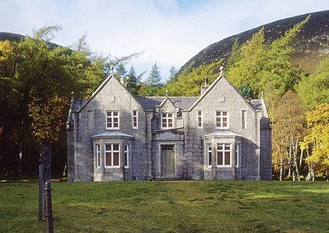
Glas-allt-Shiel
Glas-allt-Shiel is a lodge on the Balmoral Estate by the shore of Loch Muick in Aberdeenshire, Scotland. In its present form it was built in 1868 by Queen...

Broad Cairn
Broad Cairn is a mountain in the Grampians of Scotland, located about sixteen miles south of the River Dee near Balmoral.
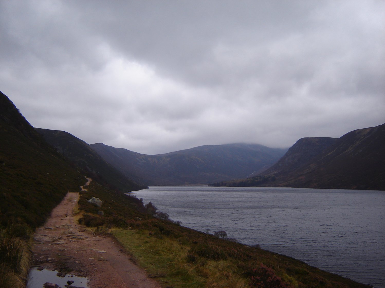
Loch Muick
Loch Muick (; Gaelic: Uisge Muice (pronounced [ɯʃkʲəˈmɯçkʲə])) is an upland, freshwater loch lying approximately 5 mi (8.0 km) south of Braemar, Scotland...
Nearby Amenities
Located within 500m of 56.958006,-3.2414772Have you been to The Black Spout?
Leave your review of The Black Spout below (or comments, questions and feedback).