Cae-post Dingle
Valley in Montgomeryshire
Wales
Cae-post Dingle

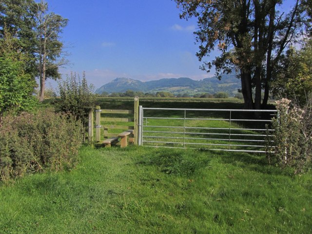
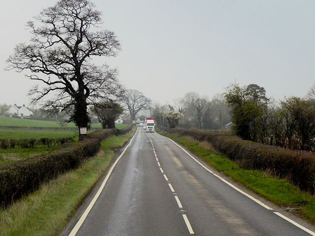
Cae-post Dingle is a small valley located in Montgomeryshire, Wales. Situated in the heart of the Cambrian Mountains, this picturesque valley is known for its stunning natural beauty and tranquil atmosphere. The valley is surrounded by rolling hills and dense forests, creating a sense of seclusion and peacefulness.
Cae-post Dingle is characterized by its lush greenery and diverse wildlife. The valley is home to a variety of plant and animal species, making it a popular destination for nature lovers and wildlife enthusiasts. Visitors can expect to see a range of birds, mammals, and insects, as well as an abundance of wildflowers and trees.
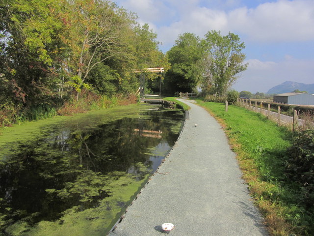
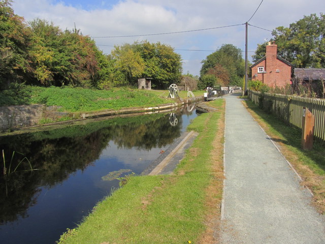
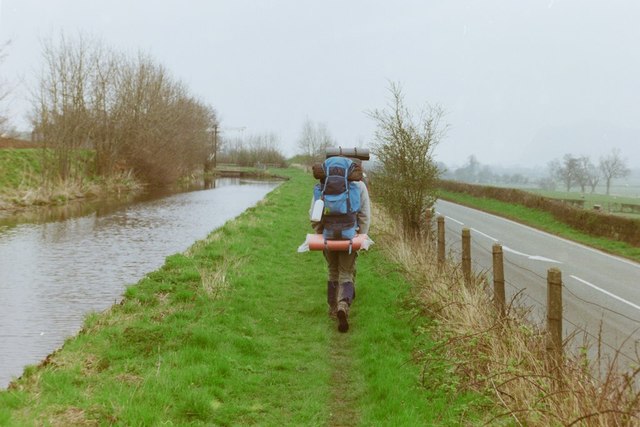
The valley is also known for its pristine river, which flows through the heart of Cae-post Dingle. The river is a popular spot for fishing and offers opportunities for kayaking and canoeing. Its crystal-clear waters and gentle rapids make it an ideal location for water-based activities.
In addition to its natural attractions, Cae-post Dingle is also home to a small community of residents. The local village is known for its friendly and welcoming atmosphere, with a handful of traditional Welsh cottages and farmhouses dotting the landscape.
Overall, Cae-post Dingle is a hidden gem in Montgomeryshire, offering visitors a chance to escape the hustle and bustle of everyday life and immerse themselves in the beauty of nature. Whether it's exploring the valley's diverse wildlife, enjoying outdoor activities, or simply relaxing in the peaceful surroundings, Cae-post Dingle has something to offer for everyone.
If you have any feedback on the listing, please let us know in the comments section below.
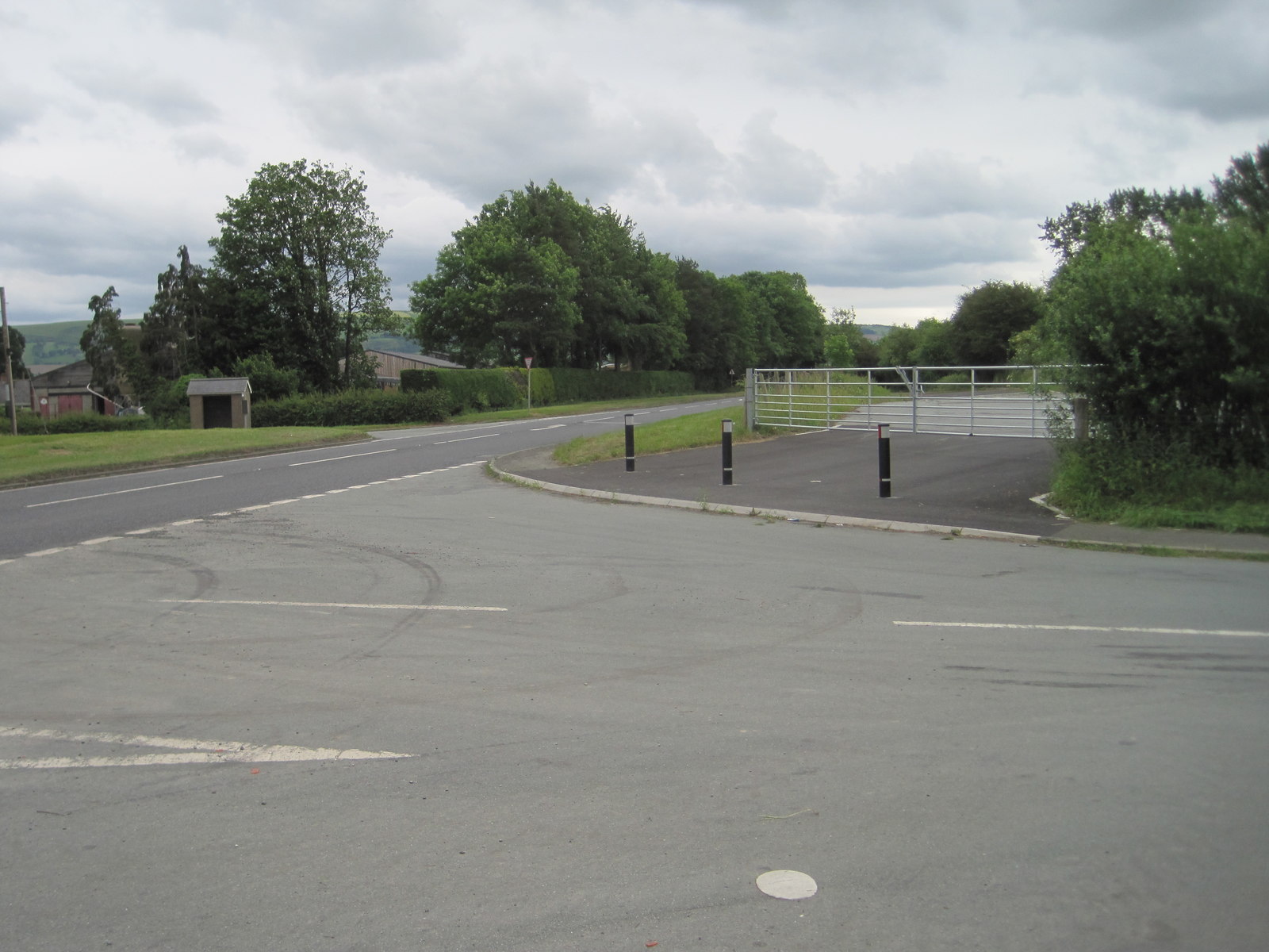
Cae-post Dingle Images
Images are sourced within 2km of 52.699253/-3.1170595 or Grid Reference SJ2411. Thanks to Geograph Open Source API. All images are credited.


Cae-post Dingle is located at Grid Ref: SJ2411 (Lat: 52.699253, Lng: -3.1170595)
Unitary Authority: Powys
Police Authority: Dyfed Powys
What 3 Words
///salads.lunge.drip. Near Guilsfield, Powys
Nearby Locations
Related Wikis

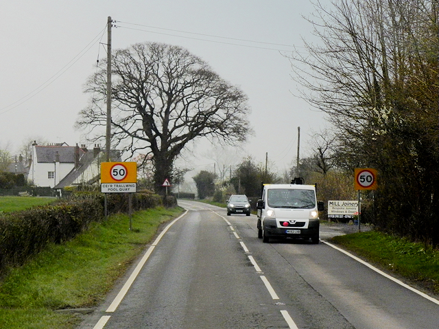
Pool Quay
Pool Quay (Welsh: Cei'r Trallwng) is a small village in Powys, Mid Wales. == Location == It is situated on the A483 road, between the towns of Welshpool...
Burgedin
Burgedin is a village in Powys, Wales. The Montgomery Canal passes through the village. == External links == Photos of Burgedin and surrounding area on...
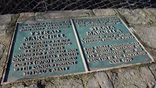
Strata Marcella
The Abbey of Strata Marcella (Welsh: Abaty Ystrad Marchell) was a medieval Cistercian monastery situated at Ystrad Marchell (Strata Marcella being the...
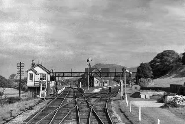
Pool Quay railway station
Pool Quay railway station was a station in Pool Quay, Powys, Wales. The station was opened on 1 May 1860 and closed on 18 January 1965. == References ==
Trewern Hall
Trewern Hall or Trewern Farmhouse is a country house in Montgomeryshire, Wales, close to the Shropshire border. It is on a spur in the floodplain of the...
Buttington Oak
The Buttington Oak was a tree near to Offa's Dyke at Buttington, Wales, said to have been planted to mark the site of the Battle of Buttington between...
Buttington railway station
Buttington railway station was a station in Buttington, Powys, Wales. The station was opened in November 1860, several months after the line that served...

Guilsfield
Guilsfield (Welsh: Cegidfa, lit. "Hemlock-field") is a village and local government community in Montgomeryshire, Powys, Wales. It lies beside Guilsfield...
Nearby Amenities
Located within 500m of 52.699253,-3.1170595Have you been to Cae-post Dingle?
Leave your review of Cae-post Dingle below (or comments, questions and feedback).