Hag Cleuch
Valley in Dumfriesshire
Scotland
Hag Cleuch

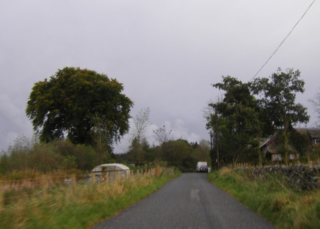
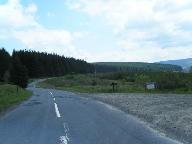
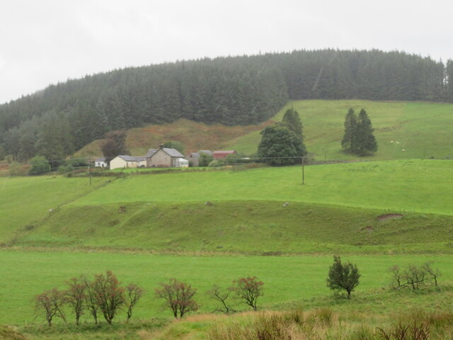
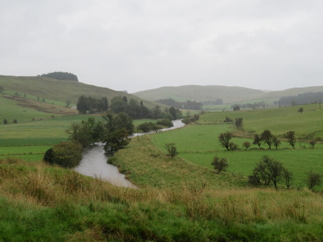
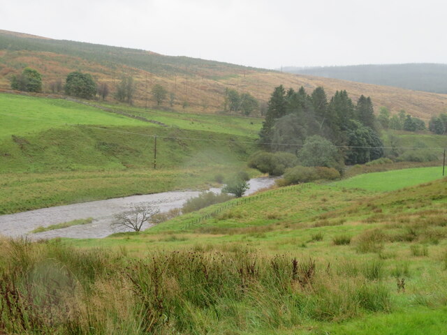
Hag Cleuch, located in Dumfriesshire, Scotland, is a picturesque valley nestled amidst the rolling hills of the Southern Uplands. This enchanting landscape offers visitors a tranquil retreat, rich in natural beauty and historical significance.
The valley is characterized by its rugged terrain, with steep slopes covered in lush greenery and dotted with rocky outcrops. The sparkling waters of the Hag Burn meander through the valley, adding to its charm and providing a habitat for a variety of wildlife, including otters and water birds.
Hag Cleuch is renowned for its stunning walking trails, attracting hikers and nature enthusiasts from far and wide. The paths wind their way through the valley, offering breathtaking panoramic views of the surrounding countryside. The valley is also home to a diverse range of plant life, including heather, bluebells, and wild orchids, creating a vibrant tapestry of colors throughout the seasons.
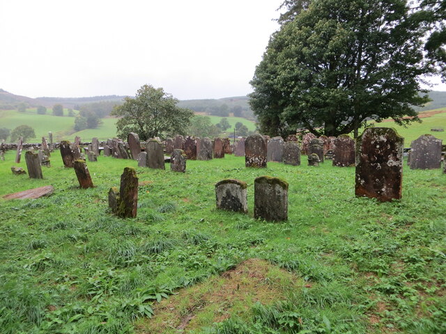
In addition to its natural beauty, Hag Cleuch has a rich historical heritage. The valley is scattered with ancient archaeological sites, such as standing stones and Iron Age hill forts, which provide glimpses into its past. These remnants of the past add an air of mystery and intrigue to the already captivating landscape.
Overall, Hag Cleuch in Dumfriesshire is a hidden gem that offers visitors a chance to immerse themselves in the beauty of nature while exploring the rich history of the area. Whether it's hiking the scenic trails or uncovering the secrets of the past, this valley provides a truly unforgettable experience for all who venture into its embrace.
If you have any feedback on the listing, please let us know in the comments section below.
Hag Cleuch Images
Images are sourced within 2km of 55.240842/-3.1877495 or Grid Reference NY2494. Thanks to Geograph Open Source API. All images are credited.


Hag Cleuch is located at Grid Ref: NY2494 (Lat: 55.240842, Lng: -3.1877495)
Unitary Authority: Dumfries and Galloway
Police Authority: Dumfries and Galloway
What 3 Words
///enough.pebbles.rockets. Near Bentpath, Dumfries & Galloway
Nearby Locations
Related Wikis

Castle O'er Forest
Castle O'er Forest is a forest south of Eskdalemuir, Dumfries and Galloway, in southern Scotland.It is bisected by the River Esk. Eskdalemuir Forest adjoins...

Girdle Stanes
The Girdle Stanes (grid reference NY 25351 96153) is a stone circle near Eskdalemuir, Dumfries and Galloway. The western portion of the circle has been...

Loupin Stanes
The Loupin Stanes (grid reference NY25709663) is a stone circle near Eskdalemuir, Dumfries and Galloway. Oval in shape, it consists of twelve stones set...

Holm, Inverness
Holm is a small residential area in the south of the city of Inverness, Scotland. The area lies east of the River Ness. The most prominent structure in...
Eskdalemuir
Eskdalemuir is a civil parish and small village in Dumfries and Galloway, Scotland, with a population of 265. It is around 10 miles (16 km) north-west...

Kagyu Samye Ling Monastery and Tibetan Centre
Kagyu Samye Ling Monastery and Tibetan Centre is a Tibetan Buddhist complex associated with the Karma Kagyu school located at Eskdalemuir, Scotland....

Whitcastles stone circle
Whitcastles or Little Hartfell (grid reference NY 2240 8806) is a stone circle 6½ miles NE of Lockerbie, Dumfries and Galloway. Nine fallen stones lie...

Eskdalemuir Forest
Eskdalemuir Forest is a forest north of Eskdalemuir, Dumfries and Galloway, in southern Scotland. It was created as a private enterprise by the Economic...
Nearby Amenities
Located within 500m of 55.240842,-3.1877495Have you been to Hag Cleuch?
Leave your review of Hag Cleuch below (or comments, questions and feedback).