Wormiston Dean
Valley in Peeblesshire
Scotland
Wormiston Dean
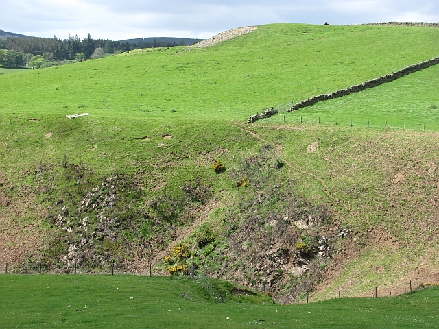
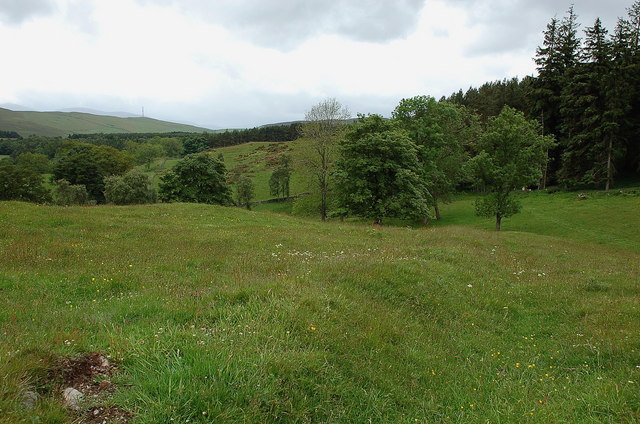
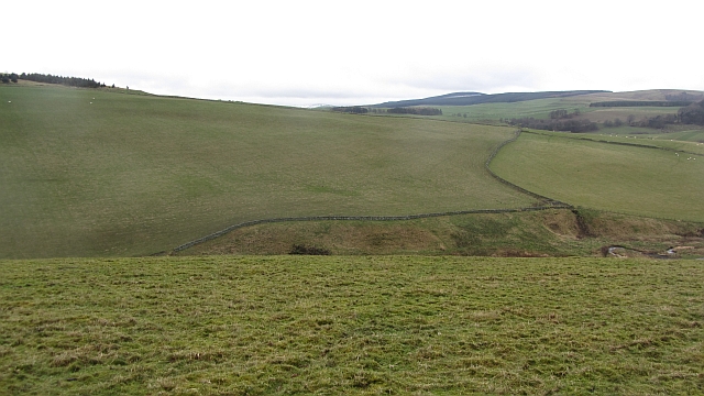
Wormiston Dean is a picturesque valley located in Peeblesshire, Scotland. Situated in the Southern Uplands, this tranquil and scenic area is renowned for its natural beauty and rich history.
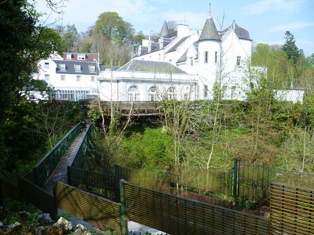
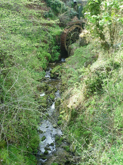
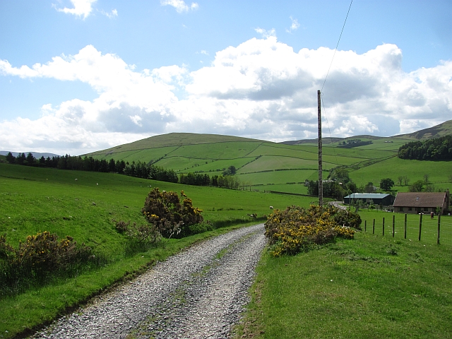
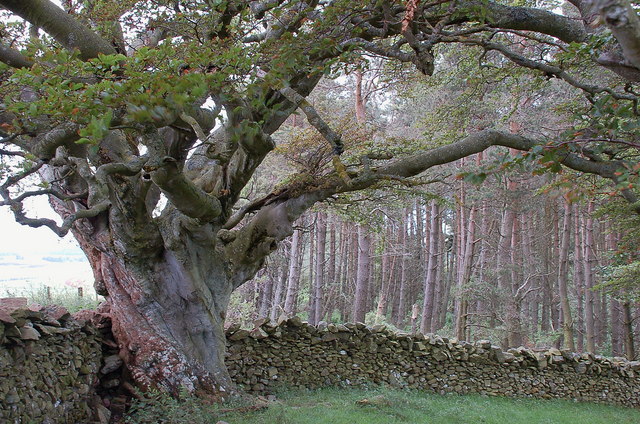
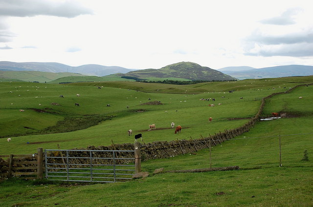
Nestled between rolling hills and bordered by the River Tweed, Wormiston Dean offers stunning views of the surrounding countryside. Its verdant landscape is dotted with charming farms, ancient woodlands, and meandering streams, making it an idyllic spot for nature enthusiasts and hikers.
The valley is known for its diverse wildlife, with a variety of birds, mammals, and plant species inhabiting its lush habitat. Visitors can often spot buzzards soaring overhead or catch a glimpse of roe deer grazing in the fields.
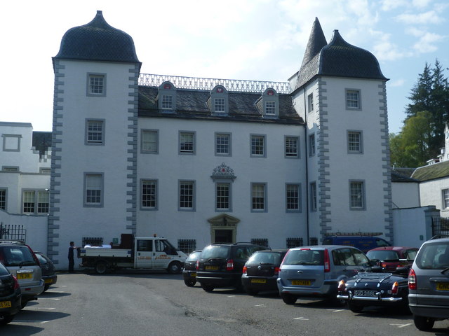
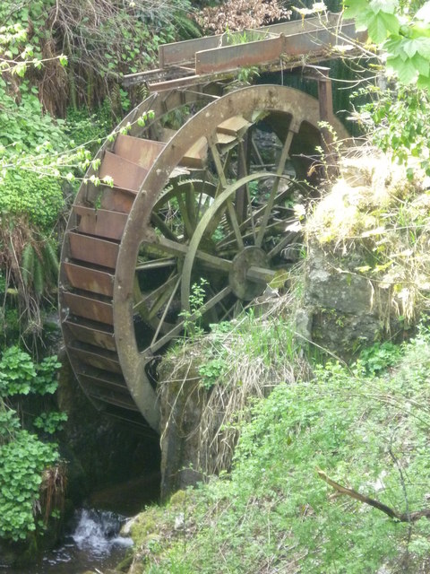
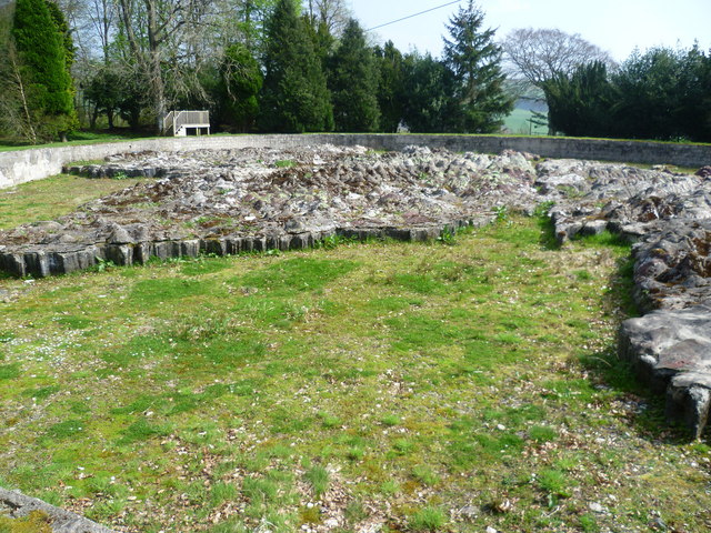
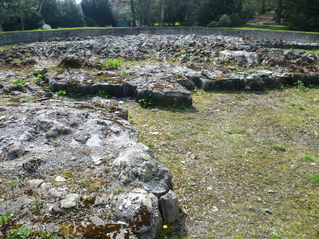
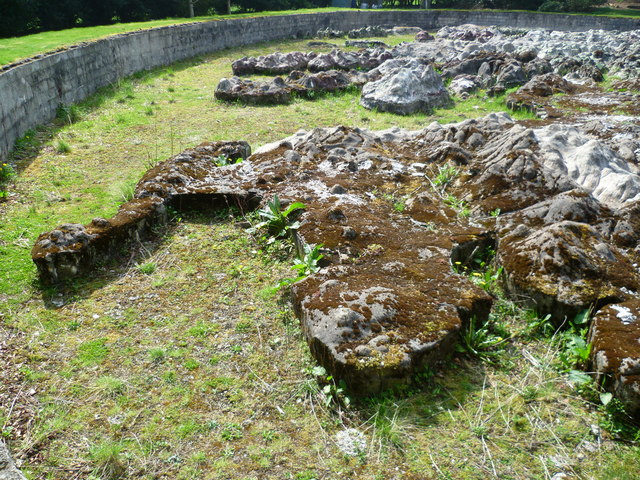
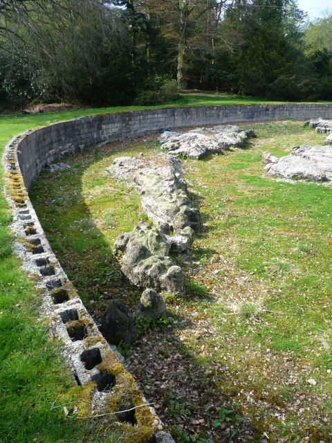
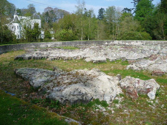
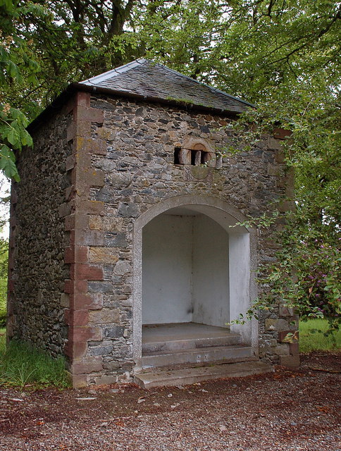
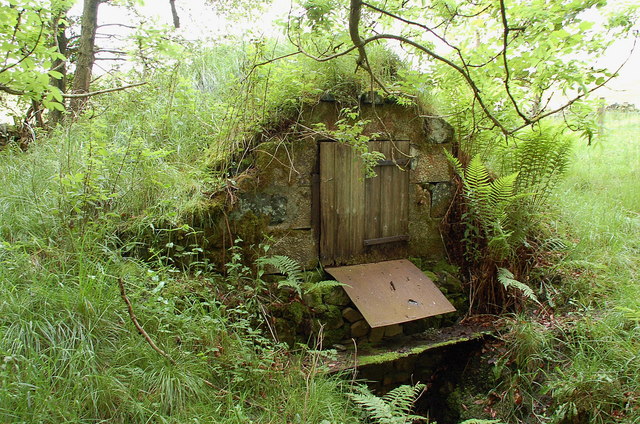
In addition to its natural wonders, Wormiston Dean boasts a fascinating historical significance. The area is dotted with remnants of its past, including Iron Age forts, ancient burial sites, and medieval ruins. One notable landmark is the Wormiston Tower, a 16th-century fortress that stands as a testament to the region's turbulent history.
For those seeking outdoor activities, Wormiston Dean offers a range of opportunities. The river is popular among anglers, who come to fish for salmon and trout. The surrounding hills and forests provide ample space for walking, cycling, and horseback riding.
Overall, Wormiston Dean is a hidden gem in Peeblesshire, offering a peaceful escape for nature lovers and history enthusiasts alike. Its stunning landscapes, abundant wildlife, and rich heritage make it a must-visit destination in Scotland.
If you have any feedback on the listing, please let us know in the comments section below.
Wormiston Dean Images
Images are sourced within 2km of 55.695112/-3.2213767 or Grid Reference NT2345. Thanks to Geograph Open Source API. All images are credited.
Wormiston Dean is located at Grid Ref: NT2345 (Lat: 55.695112, Lng: -3.2213767)
Unitary Authority: The Scottish Borders
Police Authority: The Lothians and Scottish Borders
What 3 Words
///jobs.drive.developed. Near Peebles, Scottish Borders
Nearby Locations
Related Wikis
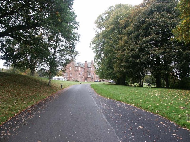
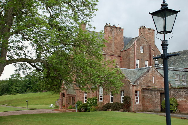
Cringletie
Cringletie is a Scottish Baronial house by the Eddleston Water, around 3 kilometres (1.9 mi) south of Eddleston in the Scottish Borders area of Scotland...

Redscarhead
Redscarhead is a village in the Scottish Borders area of Scotland, off the A703, by the Eddleston Water, and close to Cringletie. In the village is a memorial...

Milkieston Rings
Milkieston Rings is a prehistoric site, a hillfort near the village of Eddleston and about 3 miles (5 km) north of Peebles, in the Scottish Borders, Scotland...

Great Polish Map of Scotland
The Great Polish Map of Scotland is a large (50 m x 40 m) three-dimensional, outdoor concrete scale model of Scotland, located in the grounds of the Barony...
Nearby Amenities
Located within 500m of 55.695112,-3.2213767Have you been to Wormiston Dean?
Leave your review of Wormiston Dean below (or comments, questions and feedback).