Cwm Byr

Valley in Radnorshire

Wales

Cwm Byr

A488 north of Monaughty From the end of a large lay-by.
A488 north of Monaughty Credit: Andrew Hill

Cwm Byr, located in Radnorshire, is a picturesque valley in the heart of Wales. Nestled amidst rolling hills and lush greenery, this enchanting valley is known for its breathtaking natural beauty and tranquil ambiance.

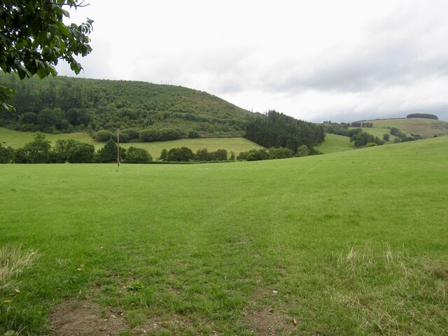
The valley is characterized by its idyllic setting, with the River Byr meandering through the landscape, adding to its scenic charm. The river forms the focal point of the valley and is flanked by verdant meadows and ancient woodlands. The valley is home to a wide variety of flora and fauna, making it a haven for nature enthusiasts and wildlife lovers.

Cwm Byr is dotted with traditional Welsh farmhouses and cottages, which add to its rural charm. The local community is deeply rooted in Welsh traditions and culture, and visitors can witness this through the warm hospitality and friendly nature of the locals.

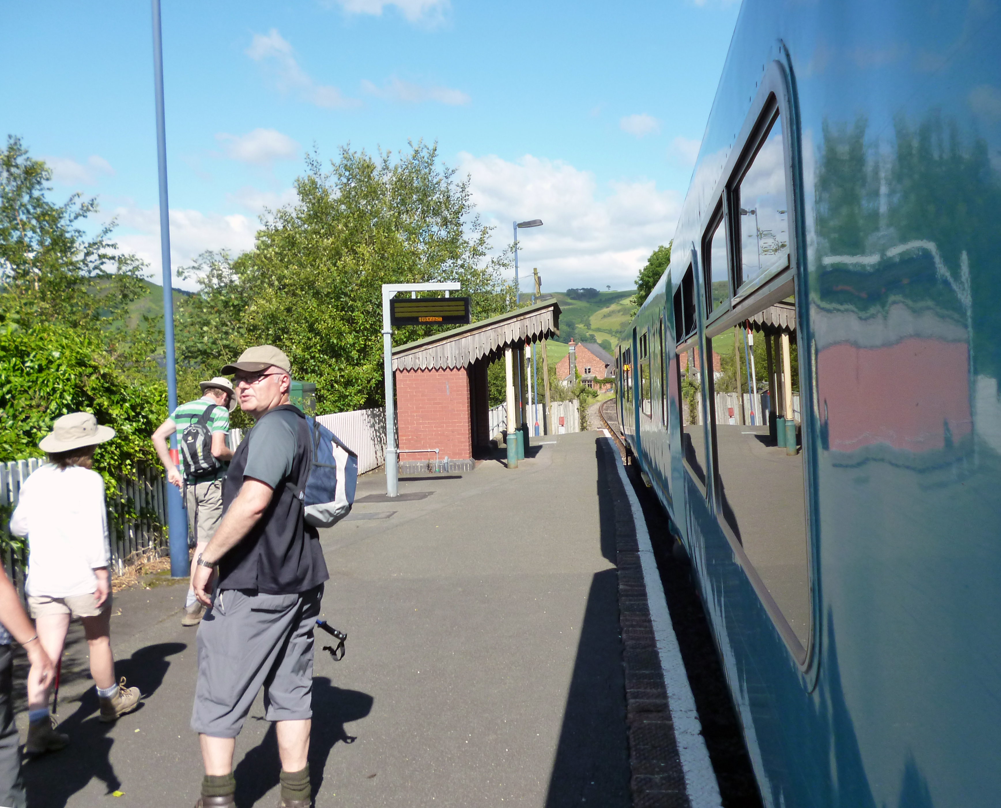
The valley offers numerous outdoor activities, such as hiking, cycling, and fishing. There are several well-marked trails that wind their way through the valley, providing stunning views of the surrounding landscape. Anglers can also enjoy fishing in the River Byr, known for its abundance of brown trout.

For those seeking a peaceful escape from the hustle and bustle of city life, Cwm Byr offers the perfect retreat. With its untouched beauty and serene atmosphere, this hidden gem in Radnorshire is a must-visit destination for nature lovers and those seeking a glimpse into the tranquil Welsh countryside.

If you have any feedback on the listing, please let us know in the comments section below.
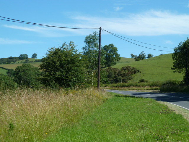
Cwm Byr Images

Images are sourced within 2km of 52.328263/-3.1259431 or Grid Reference SO2370. Thanks to Geograph Open Source API. All images are credited.

A488 north of Monaughty From the end of a large lay-by.
A488 north of Monaughty
From the end of a large lay-by.
B4356 junction at Monaughty Looking north
B4356 junction at Monaughty
Looking north
Gate and fields, Dolly
Forestry Commission plantation above Dolly
Field by Dolly Upper Lugg Valley.
Field by Dolly
Upper Lugg Valley.
A488 climbing out of the Lugg Valley The road follows the flanks of Treburvaugh Dingle.
A488 climbing out of the Lugg Valley
The road follows the flanks of Treburvaugh Dingle.
Road to Cefn-Suran Rally School 'Llywn' farm on the left
Road to Cefn-Suran Rally School
'Llywn' farm on the left
Narrow lane to Bailey Hill
Rally School junction Turning off the B4356 to the rally school above Monaughty. Sadly, a fast turn on gravel is not possible. The main road's good alignment on a shelf above the Lugg valley is evident.
Rally School junction
Turning off the B4356 to the rally school above Monaughty. Sadly, a fast turn on gravel is not possible. The main road's good alignment on a shelf above the Lugg valley is evident.
Fields before Lower Weston Peeking through the roadside hedge reveals a view of the narrowing Lugg valley's fields and Lower Weston in the distance.
Fields before Lower Weston
Peeking through the roadside hedge reveals a view of the narrowing Lugg valley's fields and Lower Weston in the distance.
Across the valley to Blaen-y-cwm From the forestry track winding around Black Hill, Blaen-y-cwm farm's commanding position above the A488 is evident.
Across the valley to Blaen-y-cwm
From the forestry track winding around Black Hill, Blaen-y-cwm farm's commanding position above the A488 is evident.
Valley before Upper Treburvaugh Hidden in the deeply incised valley are Treburvaugh Dingle and the A488 road, the latter twisting and climbing out of the Lugg valley.
Valley before Upper Treburvaugh
Hidden in the deeply incised valley are Treburvaugh Dingle and the A488 road, the latter twisting and climbing out of the Lugg valley.
Unidentified hilltop object Not an alien (or even English) spaceship, but a remarkable structure perched right on the top of the hill opposite Blaen-y-cwm farm with a commanding view toward Monaughty.
Unidentified hilltop object
Not an alien (or even English) spaceship, but a remarkable structure perched right on the top of the hill opposite Blaen-y-cwm farm with a commanding view toward Monaughty.
Sheep pasture above Griffin Lloyd Sheep scamper away from the photographer on the high pasture. Be advised that if accessing via Blaen-y-cwm, there are (or were in July 2008) two very aggressive dogs at that farm which will happily attack you or your conveyance.
Sheep pasture above Griffin Lloyd
Sheep scamper away from the photographer on the high pasture. Be advised that if accessing via Blaen-y-cwm, there are (or were in July 2008) two very aggressive dogs at that farm which will happily attack you or your conveyance.
Hillside above Upper Treburvaugh From the hillside of Gors Cribyn-llwyd, the Lugg valley opens up in the distance with Upper Treburvaugh farm and the A488 the most identifiable features. Be advised that if accessing via Blaen-y-cwm, there are (or were in July 2008) two very aggressive dogs at that farm which will happily attack you or your conveyance.
Hillside above Upper Treburvaugh
From the hillside of Gors Cribyn-llwyd, the Lugg valley opens up in the distance with Upper Treburvaugh farm and the A488 the most identifiable features. Be advised that if accessing via Blaen-y-cwm, there are (or were in July 2008) two very aggressive dogs at that farm which will happily attack you or your conveyance.
Summit grassland Acres of grassland on the top of the hill above Blaen-y-cwm farm.
Summit grassland
Acres of grassland on the top of the hill above Blaen-y-cwm farm.
Track across the summit The rather windswept track across the hill above Blaen-y-cwm farm.
Track across the summit
The rather windswept track across the hill above Blaen-y-cwm farm.
Mown field near Blaen-y-cwm farm
Show me another place!

Cwm Byr is located at Grid Ref: SO2370 (Lat: 52.328263, Lng: -3.1259431)

Unitary Authority: Powys

Police Authority: Dyfed Powys

What 3 Words

///workbench.tokens.dislikes. Near Whitton, Powys

Nearby Locations

Domby Dingle Cwm Byr

Related Wikis

Nearby Amenities

Located within 500m of 52.328263,-3.1259431
The data included in this document is from www.openstreetmap.org. The data is made available under ODbL.

Have you been to Cwm Byr?

Leave your review of Cwm Byr below (or comments, questions and feedback).