Wormiston Clump
Wood, Forest in Peeblesshire
Scotland
Wormiston Clump
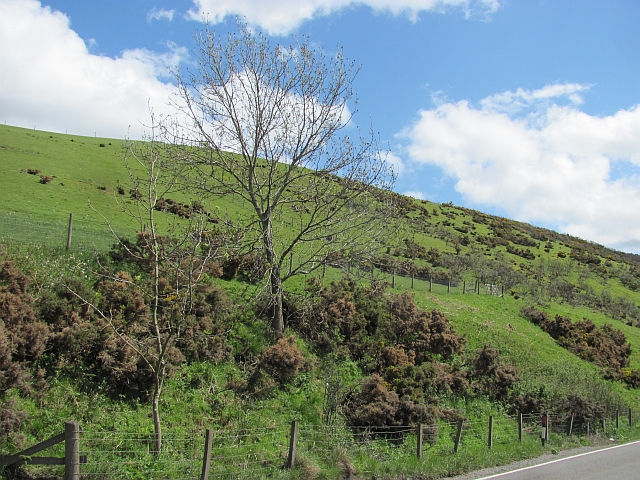
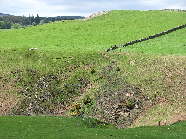
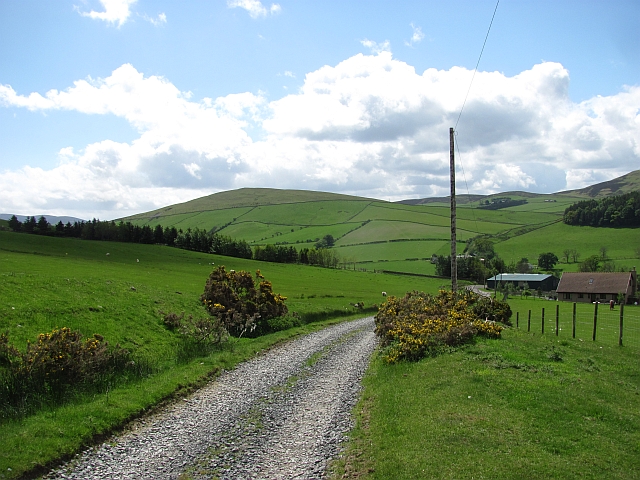
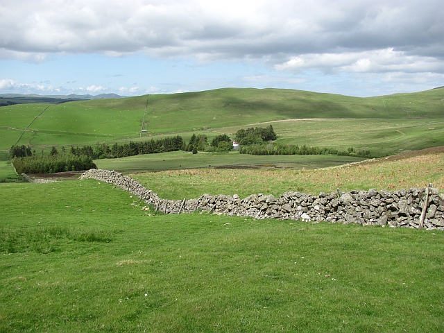
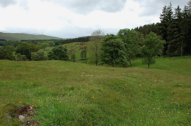
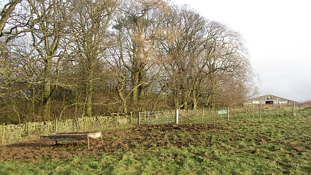
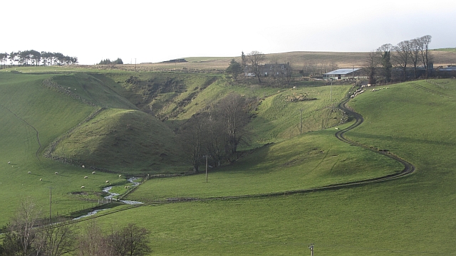
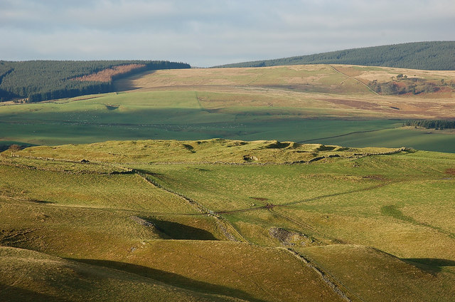
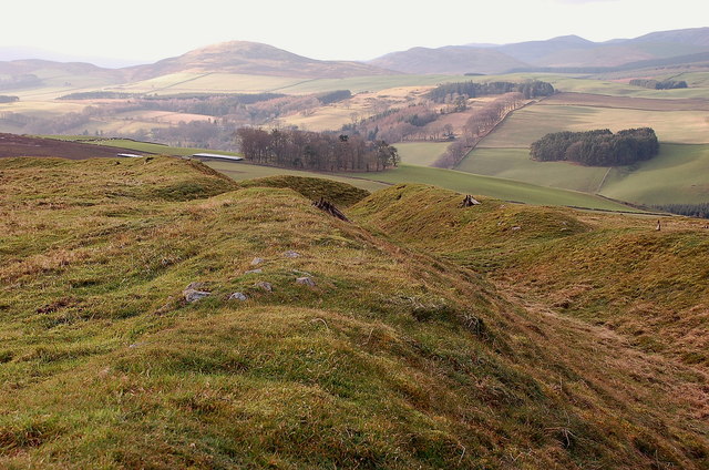
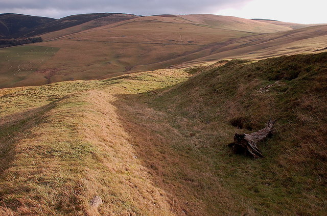
Wormiston Clump is a picturesque woodland located in Peeblesshire, Scotland. Situated near the charming village of Peebles, the clump is known for its natural beauty and tranquil atmosphere. Spanning over an area of approximately 50 acres, this woodland is a popular destination for nature enthusiasts and those seeking a peaceful retreat.
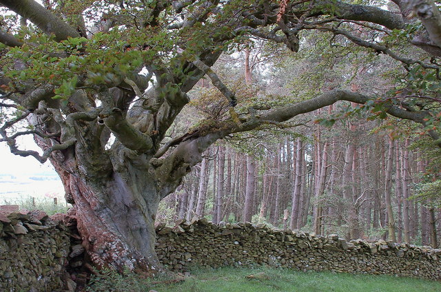
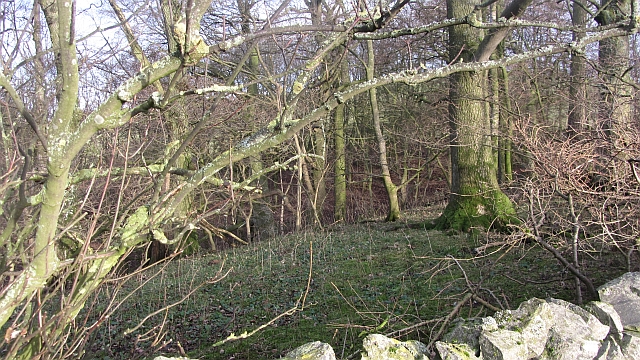
The clump is predominantly made up of a mixture of deciduous and coniferous trees, including oak, beech, and pine. These trees provide a dense canopy, creating a sheltered and shaded environment beneath. The forest floor is covered with a thick carpet of moss and ferns, adding to the enchanting ambiance.
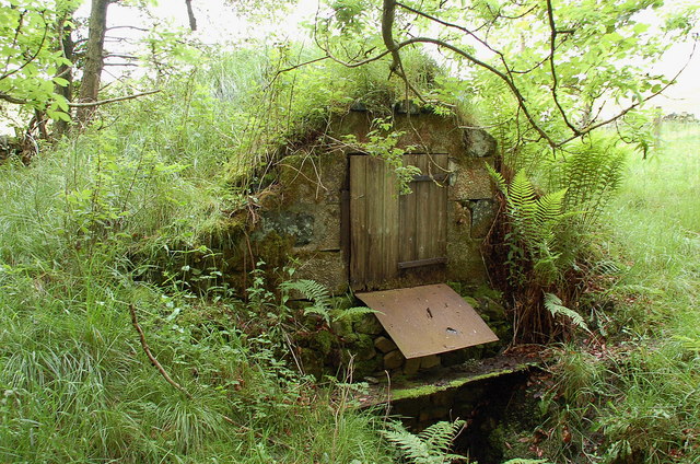
A network of well-maintained walking trails meanders through Wormiston Clump, allowing visitors to explore the area at their own pace. These paths lead visitors to various points of interest, such as a small stream that runs through the clump, adding a touch of serenity to the surroundings.
The woodland is also home to a diverse range of wildlife. Bird enthusiasts will be delighted to spot species such as woodpeckers, owls, and various songbirds. Deer, rabbits, and squirrels are often spotted darting through the trees, adding to the natural charm of the clump.
Wormiston Clump is easily accessible, with ample parking available nearby. It offers a peaceful respite from the hustle and bustle of everyday life, providing visitors with the opportunity to connect with nature and enjoy the tranquility of the Scottish countryside.
If you have any feedback on the listing, please let us know in the comments section below.
Wormiston Clump Images
Images are sourced within 2km of 55.693721/-3.2194242 or Grid Reference NT2345. Thanks to Geograph Open Source API. All images are credited.
Wormiston Clump is located at Grid Ref: NT2345 (Lat: 55.693721, Lng: -3.2194242)
Unitary Authority: The Scottish Borders
Police Authority: The Lothians and Scottish Borders
What 3 Words
///detail.report.bulbs. Near Peebles, Scottish Borders
Nearby Locations
Related Wikis
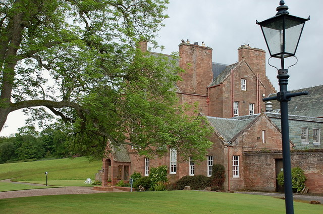
Cringletie
Cringletie is a Scottish Baronial house by the Eddleston Water, around 3 kilometres (1.9 mi) south of Eddleston in the Scottish Borders area of Scotland...

Redscarhead
Redscarhead is a village in the Scottish Borders area of Scotland, off the A703, by the Eddleston Water, and close to Cringletie. In the village is a memorial...

Milkieston Rings
Milkieston Rings is a prehistoric site, a hillfort near the village of Eddleston and about 3 miles (5 km) north of Peebles, in the Scottish Borders, Scotland...

Eddleston railway station
Eddleston railway station served the village of Eddleston, Scottish Borders, Scotland from 1855 to 1962 on the Peebles Railway. == History == The station...

Great Polish Map of Scotland
The Great Polish Map of Scotland is a large (50 m x 40 m) three-dimensional, outdoor concrete scale model of Scotland, located in the grounds of the Barony...

Black Barony
Barony Castle, also and formerly known as Black Barony, and Darnhall, is a historic house at Eddleston in the Scottish Borders area of Scotland. The house...

Eddleston
Eddleston (Scottish Gaelic: Baile Ghille Mhoire) is a small village and civil parish in the Scottish Borders area of Scotland. It lies 4 miles (6.4 km...

White Meldon
White Meldon is a prehistoric site, a hillfort near the village of Lyne and about 4 miles (6 km) west of Peebles, in the Scottish Borders, Scotland. It...
Nearby Amenities
Located within 500m of 55.693721,-3.2194242Have you been to Wormiston Clump?
Leave your review of Wormiston Clump below (or comments, questions and feedback).