Cust's Gully
Valley in Cumberland Allerdale
England
Cust's Gully
Cust's Gully, located in Cumberland Valley, is a picturesque and historically significant site in the state of Pennsylvania, United States. Situated within the scenic Appalachian Mountains, this gully is a natural wonder that attracts both nature enthusiasts and history buffs alike.
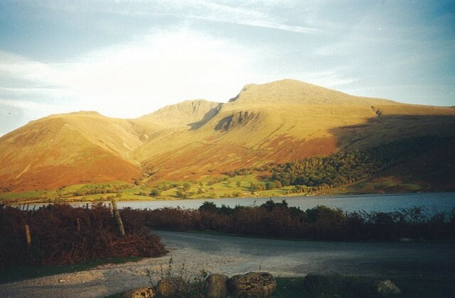
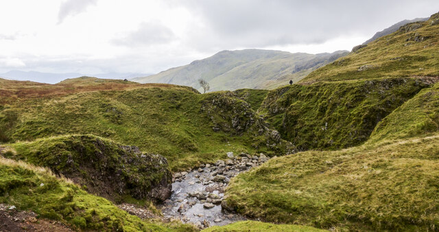
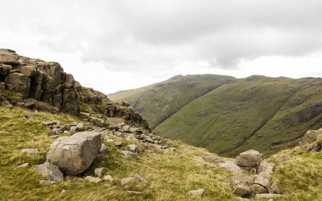
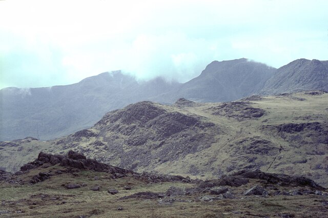
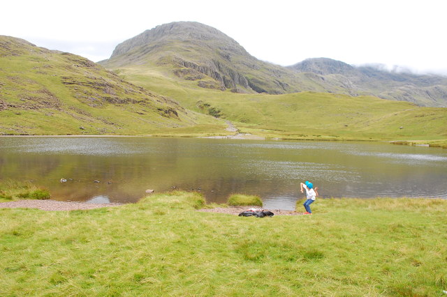
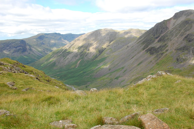
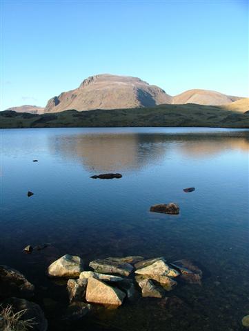
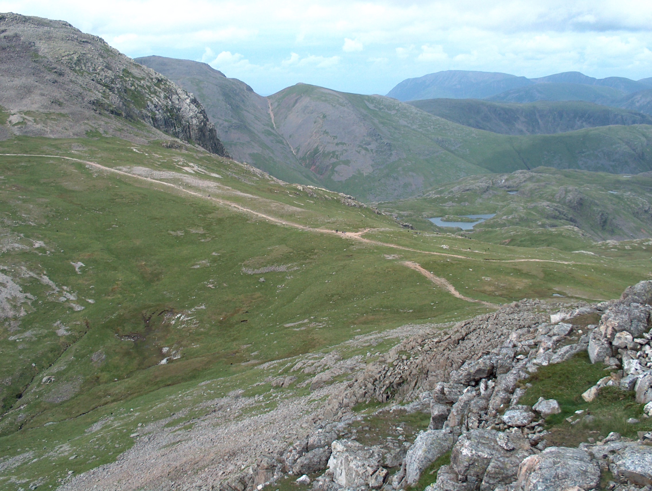
Cust's Gully is formed by a narrow, winding creek that has carved its way through the valley over thousands of years. The gully offers visitors breathtaking views of steep cliffs and dense vegetation, creating a serene and secluded atmosphere. The creek itself is known for its crystal-clear waters, making it a popular spot for fishing and exploring.
In addition to its natural beauty, Cust's Gully holds significant historical importance. During the American Civil War, this area was the site of several skirmishes and battles. The gully's strategic location near key transportation routes made it a crucial point of contention between Union and Confederate forces. Today, visitors can still find remnants of the war, such as old fortifications and cannonball scars on the surrounding rocks.
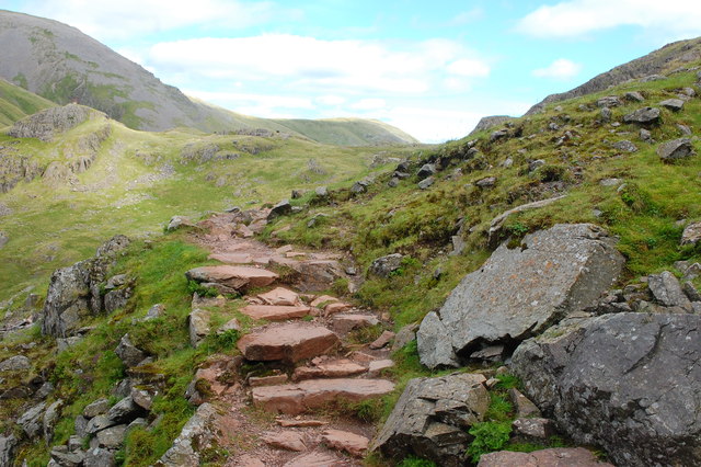
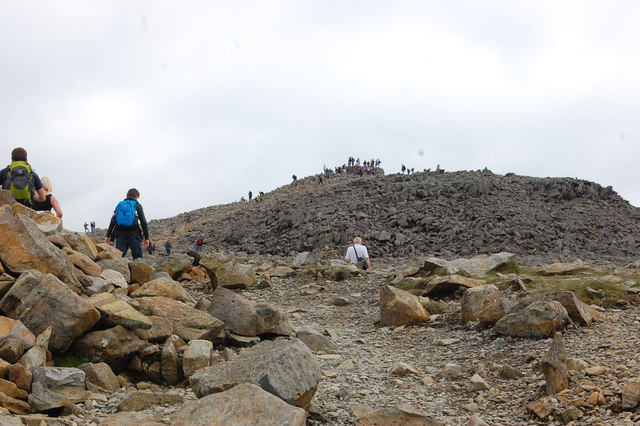
Cust's Gully offers various recreational activities for visitors. Hiking trails wind through the valley, providing opportunities for outdoor enthusiasts to explore the surrounding wilderness. The creek is also suitable for kayaking and canoeing, allowing visitors to experience the beauty of the gully from a different perspective.
Overall, Cust's Gully offers a unique blend of natural beauty and historical significance. Whether you are interested in outdoor adventures or exploring the region's rich history, a visit to this gully is sure to be a memorable experience.
If you have any feedback on the listing, please let us know in the comments section below.
Cust's Gully Images
Images are sourced within 2km of 54.466365/-3.1934231 or Grid Reference NY2208. Thanks to Geograph Open Source API. All images are credited.


Cust's Gully is located at Grid Ref: NY2208 (Lat: 54.466365, Lng: -3.1934231)
Administrative County: Cumbria
District: Allerdale
Police Authority: Cumbria
What 3 Words
///disarmed.type.stealing. Near Ambleside, Cumbria
Nearby Locations
Related Wikis

Great End
Great End is the most northerly mountain in the Scafell chain, in the English Lake District. From the south it is simply a lump continuing this chain....
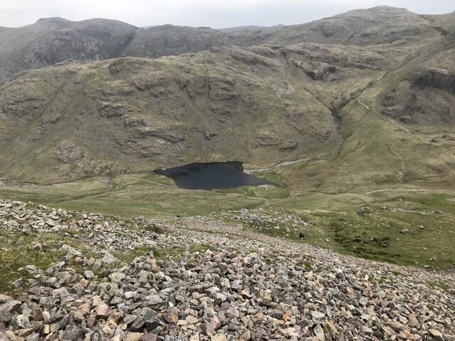
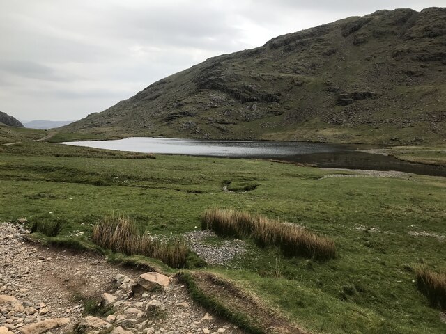
Sprinkling Tarn
Sprinkling Tarn is a body of water at the foot of Great End, in the Southern Fells in Lake District, 3 kilometres (1.9 mi) from Seathwaite, Cumbria, England...
Esk Hause
Esk Hause is a mountain pass in the English Lake District, England. It is where the paths from Eskdale, Borrowdale, Langdale and Wasdale all meet. Esk...

Allen Crags
Allen Crags is a fell in the English Lake District, it lies in a group of very popular hills and is regarded as part of the Scafell group of fells. It...

Sty Head
Sty Head is a mountain pass in the English Lake District, in the county of Cumbria. It is at an altitude of 1,600 feet (488 m) and there is a small tarn...

Seathwaite Fell
Seathwaite Fell is an area of the Lake District in Cumbria, England. It stands above the hamlet of the same name at the head of Borrowdale. == Position... ==

Ill Crag
Ill Crag is a fell in the English Lake District. At 935 metres (3,068 ft), it is the fourth-highest peak in England, after Scafell Pike, Sca Fell, and...

Broad Crag
Broad Crag is a fell in the English Lake District. It is the fifth-highest peak in England at a height of 3,064 feet (934 metres). The mountain was gifted...
Related Videos

Hiking the Bob Graham Round - Day 1
The Bob Graham Round is a circular route that starts and finishes in Keswick, Cumbria, UK - with 8160m of ascent over 99km and ...

Dangerous? Scafell Pike from Wasdale via Mickledore Wainwright Guided Walk Lake District 4K
The walk up Scafell Pike via Mickledore is an alternative route up Scafell Pike from Wasdale, sharing the initial climb with the ...

A Simple Guide to Scafell Pike | Hiking, Camping, Itinerary | Filipino UK Travel
A Simple Guide to Scafell Pike | Hiking, Camping, Itinerary | Filipino UK Travel Hello and welcome to Life Adventure Philippines!

Hiking & Wild Camping on Scafell Pike
Hiking & Wild Camping on Scafell Pike. In May 2023 I visited the Lake District to hike to the top of England's highest mountain, ...
Nearby Amenities
Located within 500m of 54.466365,-3.1934231Have you been to Cust's Gully?
Leave your review of Cust's Gully below (or comments, questions and feedback).